
-
Products ⌄
 Premium parcels
.png) AI and ML tools
AI and ML tools
 Roadway ROW
 Spatial add-ons
 Delivery methods
- Industries ⌄
- Data store
- Property App
- Esri users
- Resources ⌄
- Contact us


.svg)


-
Products ⌄
AI and ML tools
Roadway ROW
-
Industries ⌄
-
Resources ⌄
The world is made of parcels
Regrid has you covered
Comprehensive parcel data with boundaries, buildings, addresses, and geographic enrichments for all your location decisions.


Your complete parcel foundation
Regrid is the definitive land parcel and location intelligence platform, unifying fragmented property records into a seamless, nationwide, and globally expanding dataset.

100%
U.S. Parcel
data coverage
22
Countries
and counting


Enriched parcel intelligence
To help you navigate complex spatial challenges, we enrich precise parcel boundaries with standardized property and geographic data, including ownership, zoning, addresses, buildings, demographics, and more.

Delivered where you work
Delivered through APIs, applications, files, cloud platforms, and Esri-compatible services, Regrid eliminates the struggle of sourcing, cleaning, and maintaining incomplete data.

Foundational context for location decisions
By bridging property and geography at the parcel level, Regrid provides the foundational context to uncover the where and why behind every location decision.
Explore coverage
See live coverage, refresh dates, and attribute completeness. Click any county to see parcel counts and field-by-field coverage, then continue to purchase or explore data in the Regrid web app.

Different ways to access our data
Whether you need a national enterprise dataset, a developer-ready API, a self-serve download, an Esri-compatible service, or an AI-ready MCP connection, Regrid meets your workflow where it is.
Enterprise file delivery
For teams that need recurring parcel data deliveries in flexible formats, with metadata and cloud-ready options that streamline ETL.
Regrid Feature Service
For teams that want Regrid parcel data delivered directly into Esri as a ready-to-use Feature Service.
API, Tiles, and MCP
For software teams, AI workflows, and developers building parcel intelligence into products and systems.
On-demand parcel data
For self-serve county and state downloads in the formats you need for your own tools and systems.
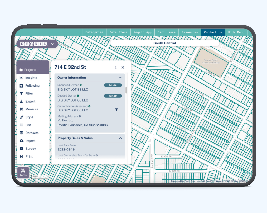
The Regrid Property App
For fast parcel lookup, fieldwork, property research, saved places, notes, and parcel tracking.


Parcel data for the markets you work in
From complete U.S. coverage to Canadian parcels and a growing European footprint, Regrid brings standardized land data into the workflows, systems, and decisions your team depends on.
U.S.
Parcel Data
Comprehensive nationwide parcel data enriched with property attributes, buildings, addresses, zoning, and geographic context — delivered in the formats enterprise teams need.
Explore U.S. Parcels
Canadian parcel data
Explore millions of parcel boundaries across Canadian provinces and territories through one consistent source, with flexible delivery for GIS, data, and application workflows.
Explore Canadian parcels
European parcel data
Scale across borders with standardized European parcel data across 20 countries and counting, built for teams that need reliable land data beyond one market.
Explore European parcel data
What's new on the grid
Check out our latest product releases, news, and updates
Regrid Global Data
Regrid is expanding internationally with standardized European parcel data
Regrid MCP Server
Explore the new Regrid MCP Server for AI-native access to parcel data.

Our initiatives
Data with Purpose
Regrid’s roots are in civic technology, open data, and community problem-solving.
That history continues through programs like Data With Purpose and Regrid Giving, which support nonprofit, academic, conservation, research, and socially minded work with access to parcel data and land-related giving.


TRUSTED BY
INDUSTRY LEADERS


(888) 4RE-GRID
Subscribe for email updates