Regrid logo, registered trademark
  • Enterprise

    Regrid premium parcel data menu icon Premium Parcels

    • US Parcel Data U.S. Parcels
    • Canada Parcel Data Canadian Parcels
    • global-icon Global Parcels

    Spatial add-ons menu icon Spatial Add-Ons

    • Matched building footprints menu icon Matched Building Footprints
    • Matched secondary addresses menu icon Matched Secondary Addresses
    • Standardized zoning menu icon Standardized Zoning
    • Enhanced property ownership menu icon Daily Ownership Updates

    road icon Roadway ROW

    • Roadway polygons icon U.S. Roadway Polygons

    Data access icon Data Access

    • data-store-2 Coverage Map
    • blog_resources_icon-1 Parcel Schema
    • Bulk files icon Bulk Files
    • Feature Service Feature Service
    • api-icon_2025 Parcel API & Tiles
    • API Sandbox icon Interactive API Sandbox
  • Data Store
  • Regrid App
  • Esri Users
  • Resources

    Support menu icon Support

    • Support site menu icon Support Site
    • Tutorial videos menu icon Tutorial Videos

    Content menu icon Content

    • Blog menu icon Blog
    • Customer stories menu icon Customer Stories
    • Reports menu icon Reports

    Programs menu icon Programs

    • academia_menu-icon Nonprofit & Academia
    • Regrid giving menu icon Regrid Giving
  • Contact Us
Contact Us
  • Enterprise

    Premium Parcels

    • U.S. Parcels
    • Canadian Parcels
    • Global Parcels

    Roadway ROW

    • U.S. Roadway Polygons

    Spatial Add-Ons

    • Matched Building Footprints
    • Matched Secondary Addresses
    • Standardized Zoning
    • Daily Ownership Updates

    Data Access

    • Coverage Map
    • Parcel Schema
    • Bulk Files
    • Feature Service
    • Parcel API & Tiles
    • Interactive API Sandbox
  • Data Store
  • Regrid App
  • Esri Users
  • Resources

    Support

    • Support Site
    • Tutorial Videos

    Programs

    • Nonprofit & Academia
    • Regrid Giving

    Content

    • Blog
    • Customer Stories
    • Reports
  • Contact Us

Regrid + Esri

Your trusted partners for parcel data in the Esri universe

As Esri's official commercial partner for parcel data, Regrid delivers accurate, nationwide parcel data seamlessly integrated into the world's leading GIS platform. Access it your way—through the Feature Service, Living Atlas, or Data Store for ArcGIS user community.

Regrid Feature Service

Enterprise-grade access to nationwide and Canadian Premium Parcel Data and updates — hosted and optimized for Esri tools.

Learn more
ArcGIS
ArcGISTeasha_202306_step3_v1
ArcGISTeasha_202306_step4_v1
Learn more

ArcGIS Living Atlas

Enjoy free access to nationwide parcel boundaries and a limited set of attributes for all 50 states and territories.

living-atlas_regrid-layer_boundaries_ohio
Visit the map

Parcel Data Store

Instantly purchase county or statewide parcel data with Regrid's Data Store for ArcGIS user community.

esri-data-store_ca_2025
Shop the store

Expanding the definition of parcels 

We've partnered with Esri, the global leader in digital geography, to bring you an ambitious series of parcel data innovations you won't find anywhere else.

Regrid’s Premium Parcels now include demographic, environmental, elevation, and other exclusive geographic enrichments—produced in partnership with Esri.

And we’re just getting started. With new layers constantly on the horizon, we’re opening a world of deeper geographic understanding at the parcel level.

ESRIgold (1)
premium-approach_012025

Trusted by industry leaders around the world

Esri logo
Amazon logo
The Nature Conservancy logo
tomtom logo
Polaris logo
Boston Consulting Group logo
census_logo-black
Crexi logo
Cost Quest Analytics logo
EPA logo
autodesk_logo
Remax logo
dycom_black-logo

Built for Esri. Built for you.

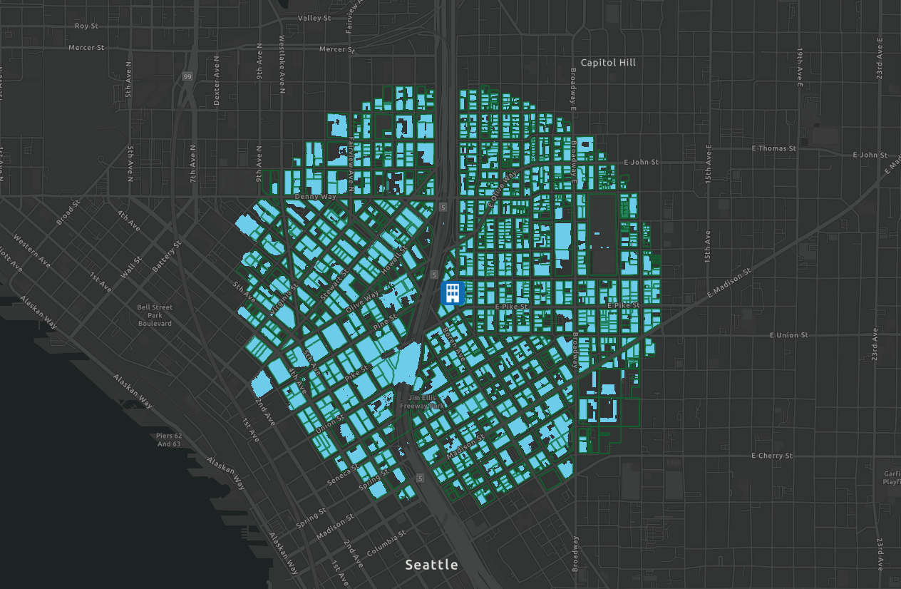
Nationwide parcel coverage
Access data for all 3,000+ U.S. counties, fully optimized for use with ArcGIS Pro and ArcGIS Online

Seamless integration with Esri tools through Feature Service
Streamlined delivery of our nationwide parcel datasets and add-ons via URL-based connections

Enhanced spatial insights
Add our growing list of spatial data enrichments to enhance your maps and decision-making

Dedicated support at every step
Work with Regrid’s Customer Success Managers to align parcel data with your specific ArcGIS workflows

regrid-esri-schedule
kate-berg-quote-esri-living-atlas_slideshow-1
press-release-esri_slideshow-1
esri-blog-lauri-young_slideshow-1

See Regrid + Esri in action

See how Regrid's parcel data powers fast, precise site selection at a national scale within Esri’s ecosystem.


logo

(888) 4RE-GRID

  • Contact Us
  • Customer Support
  • Privacy Policy
  • Terms of Use

Subscribe for email updates

Company

  • About Regrid
  • Careers
  • Press

Resources

  • Coverage Map
  • Support Center
  • Reports
  • Regrid Status Page

Enterprise Solutions

  • U.S. Parcels
  • Canada Parcels
  • Parcel & Tiles API

Self-Serve Solutions

  • Regrid Property App
  • Shop the Data Store
  • API Monthly Plans