
-
Products ⌄
 Premium parcels
.png) AI and ML tools
AI and ML tools
 Roadway ROW
 Spatial add-ons
 Delivery methods
- Industries ⌄
- Data store
- Property App
- Esri users
- Resources ⌄
- Contact us


.svg)


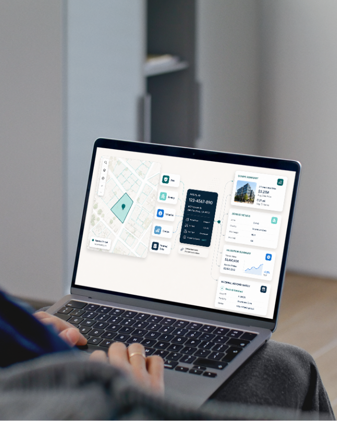
Complete property intelligence in a single schema
Access standardized parcel boundaries, ownership records, addresses, zoning, building footprints, and property attributes through a single production-ready API.
100%
U.S. Parcel
data coverage
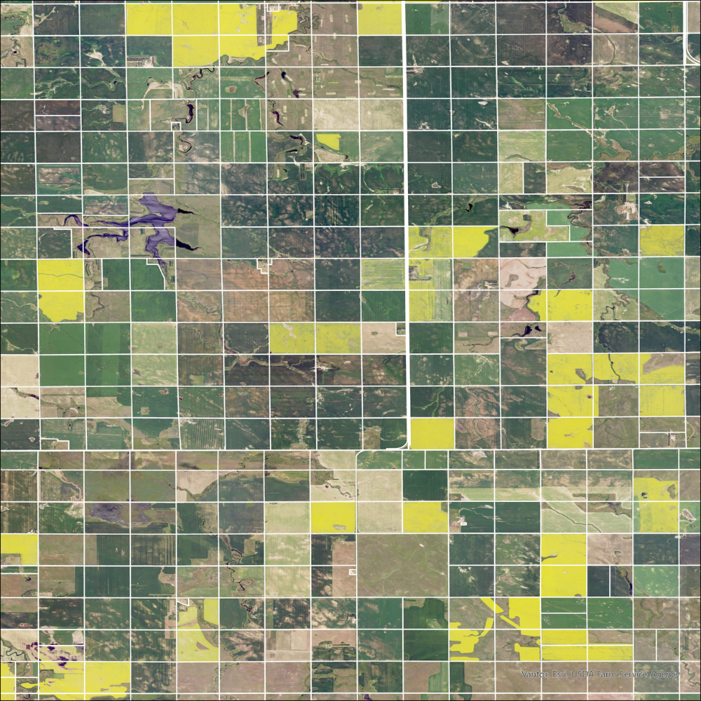

160M+ Parcel Records
Cross-border parcel coverage spanning the United States and major Canadian provinces.

Standardized Zoning
Understand permitted land use with standardized zoning coverage across major metropolitan areas.

Matched Building Footprints
Visualize structures in physical space with building footprints linked directly to parcel records.

Matched Addresses
Add more than 73 million standardized addresses connected to parcel-level geography.

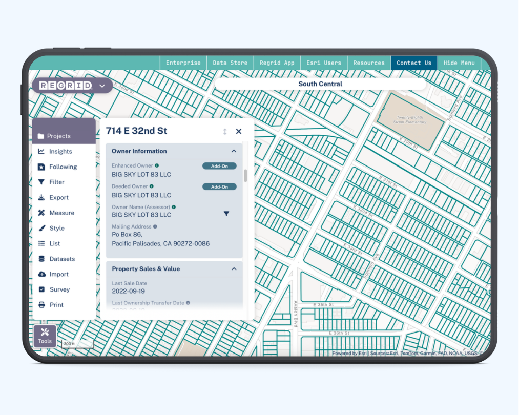
Enhanced Ownership
Access frequently updated ownership information including owner names, mailing addresses, and deeded ownership details.


