regrid_tm_forest
Sign In
  • Products ⌄

    Regrid premium parcel data menu icon Premium parcels

    • global-icon Global parcels
    • US Parcel Data U.S. parcels
    • Europe-icon-navigation European parcels
    • Canada Parcel Data Canadian parcels
    • map-location-pin-regrid-icon U.S. coverage map

    ai-ml-navigation-icon (1) AI and ML tools

    • mcp-server-navigation MCP Server

    roadway-row-icon_2025-1 Roadway ROW

    • roadway-row-icon_2025 U.S. roadway polygons

    Spatial add-ons menu icon Spatial add-ons

    • Matched building footprints menu icon Matched building footprints
    • Matched secondary addresses menu icon Matched secondary addresses
    • Standardized zoning menu icon Standardized zoning
    • Enhanced property ownership menu icon Daily ownership updates

    Data access icon Delivery methods

    • Bulk files icon Bulk files
    • Feature Service Feature service
    • api-icon_2025 Parcel API and tiles
    • Green icon of a shopping cart with check mark Data store
  • Industries ⌄

    industries-we-serve Industries we serve

    • aec-navigation-icon Architecture, engineering, and construction (AEC)
    • re-navigation-icon Real estate
    • gov-navigation-icon Government
    • ag-navigation-icon Agriculture
    • energy-navigation-icon Renewable energy and utilities
    • telco-navigation-icon Broadband and telecommunications
    • insurance-navigation-icon Insurance and finance
    • ai-ml-navigation-icon AI and machine learning
    • transportation-navigation-icon Transportation and logistics
  • Data store
  • Property App
  • Esri users
  • Resources ⌄

    Support menu icon Support

    • Support site menu icon Support site
    • Tutorial videos menu icon Tutorial videos
    • blog_resources_icon-1 Parcel schema
    • Regrid icon Sign into the Regrid Property App

    Content menu icon Content

    • Blog menu icon Blog
    • Customer stories menu icon Customer Stories
    • Reports menu icon Reports
    • data-store-2 Coverage map

    Programs menu icon Programs

    • academia_menu-icon Nonprofit & Academia
    • Regrid giving menu icon Regrid Giving
    • dwp-navigation-icon copy Data with Purpose

    shop icon Shop

    • merch_icon_2025 Regrid Merch
  • Contact us
Contact us
  • Products ⌄

    Premium parcels

    • Global parcels
    • U.S. parcels
    • European parcels
    • Canadian parcels
    • U.S. coverage map

    Spatial add-ons

    • Matched building footprints
    • Matched secondary addresses
    • Standardized zoning
    • Daily ownership updates

    AI and ML tools

    • MCP Server

    Delivery methods

    • Bulk files
    • Feature service
    • Parcel API and tiles
    • Data store

    Roadway ROW

    • U.S. roadway polygons
  • Industries ⌄

    Industries we serve

    • Architecture, engineering, and construction (AEC)
    • Real estate
    • Government
    • Agriculture
    • Renewable energy and utilities
    • Broadband and telecommunications
    • Insurance and finance
    • AI and machine learning
    • Transportation and logistics
  • Data store
  • Property App
  • Esri users
  • Resources ⌄

    Support

    • Support site
    • Tutorial videos
    • Parcel schema
    • Sign into the Regrid Property App

    Programs

    • Nonprofit & Academia
    • Regrid Giving
    • Data with Purpose

    Content

    • Blog
    • Customer Stories
    • Reports
    • Coverage map

    Shop

    • Regrid Merch
  • Contact us


REGRID MATCHED SECONDARY ADDRESSES

See every known address connected to the parcel

Add more than 180 million validated U.S. addresses to Regrid Premium Parcels, including secondary and unit-level addresses for properties where one primary address does not tell the full story.
 
Contact enterprise sales
Matched addresses illustration-1

Why it matters

One parcel can represent many addresses

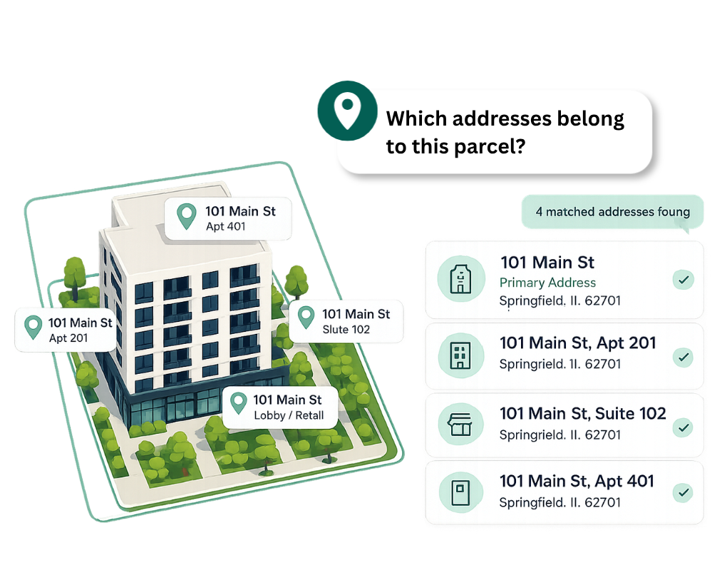
County and assessor data will typically provide a primary situs address for a parcel. But one parcel can contain an apartment building, townhomes, offices, a shopping centre, multiple buildings or addresses associated with more than one street.
 
Matched Secondary Addresses adds the additional known address records and connects them to the parcel, helping you understand the locations represented by the property rather than relying on one primary address alone.
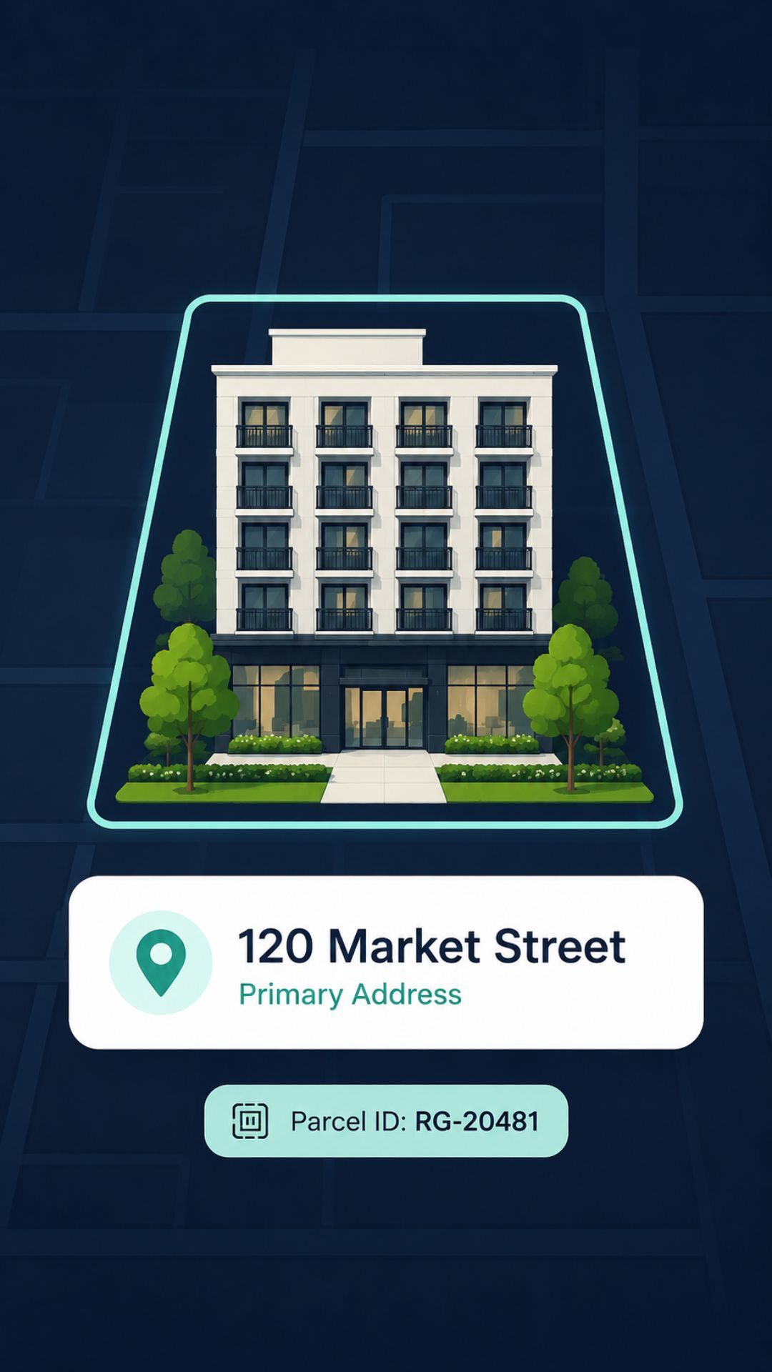
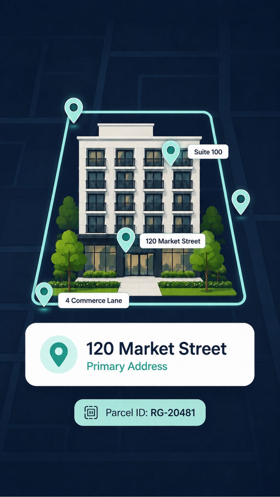
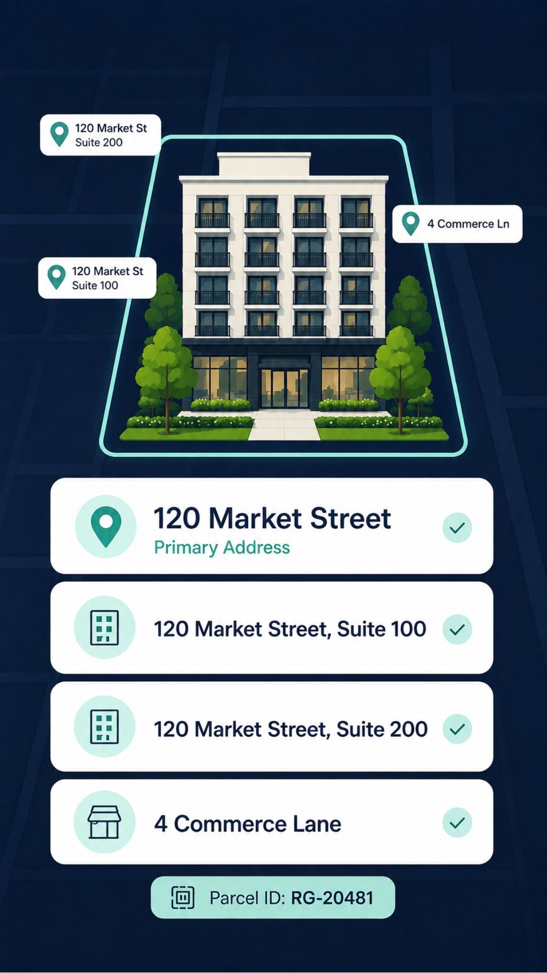
A graphic showing a building at 120 Market Street A digital illustration showing a building at 120 Market Street with pins marking its location and nearby addresses A digital map interface shows a building with multiple addresses listed below

1. Start with the parcel

See the property boundary, primary situs address and persistent Regrid parcel ID.

2. Add the address points

Bring in geocoded address records associated with the location.

3. Reveal the additional locations

See unit, suite, floor and other secondary address records connected to the parcel.

A graphic showing a building at 120 Market Street A digital illustration showing a building at 120 Market Street with pins marking its location and nearby addresses A digital map interface shows a building with multiple addresses listed below

1. Start with the parcel

See the property boundary, primary situs address and persistent Regrid parcel ID.

A graphic showing a building at 120 Market Street A digital illustration showing a building at 120 Market Street with pins marking its location and nearby addresses A digital map interface shows a building with multiple addresses listed below

2. Add the address points

Bring in geocoded address records associated with the location.

A graphic showing a building at 120 Market Street A digital illustration showing a building at 120 Market Street with pins marking its location and nearby addresses A digital map interface shows a building with multiple addresses listed below

3. Reveal the additional locations

See unit, suite, floor and other secondary address records connected to the parcel.

What you get

More address detail, connected to the parcel

Matched Secondary Addresses adds validated address records to Regrid parcel data, helping you identify additional locations that may not be represented by a parcel’s primary situs address alone.

Secondary and unit-level addresses

See additional known addresses associated with apartments, suites, floors, multiple buildings and other multi-address properties.

Geocoded address points

Work with address records that include a geographic location and information about the type of geocode available.

Parcel-to-address relationships

Connect address records back to Regrid parcels using persistent identifiers, making it easier to work with parcels and addresses together.

Address counts

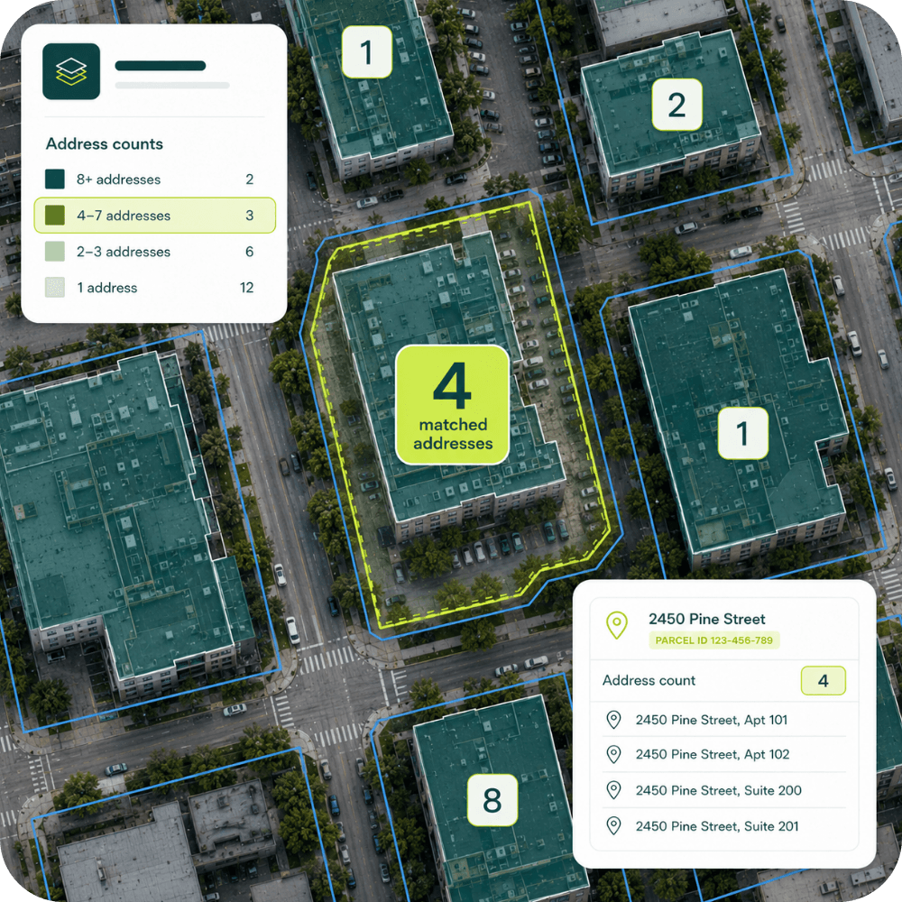
Quickly identify parcels with additional matched addresses using Regrid’s parcel-level address count.

1 (1)
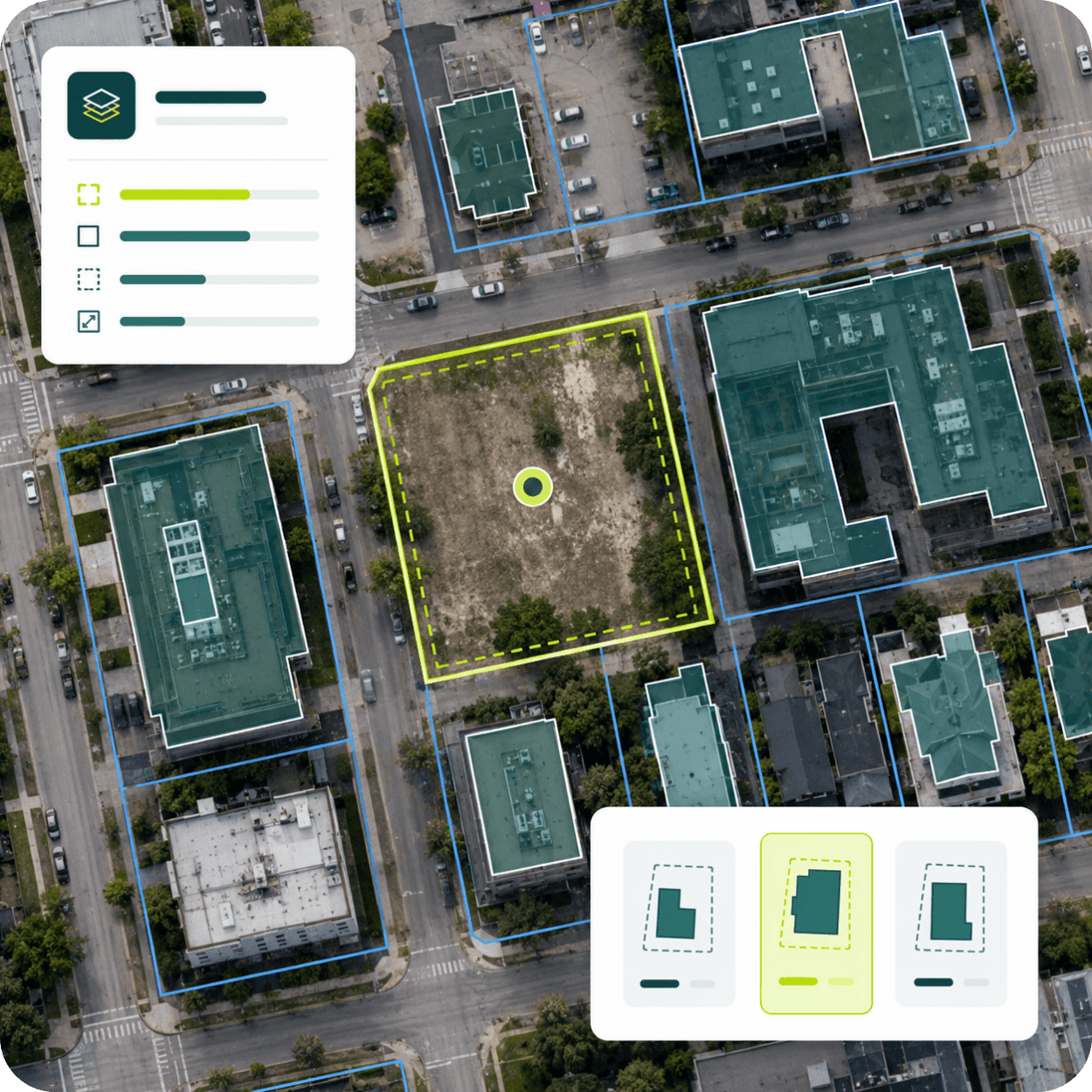
Aerial view of urban land parcels with overlays showing building footprints and property lines, a digital interface displays layers and building shape options.
Aerial view of city blocks with a digital overlay showing geocoded address points, including
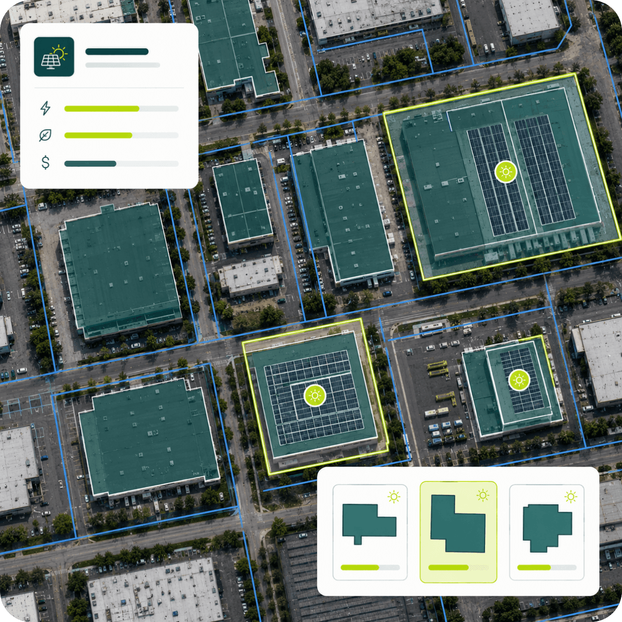
An aerial view of a city block, multiple buildings, some with solar panels on their roofs. A user interface overlay displays solar energy potential, efficiency, and cost information, along with building footprint options for solar panel installation.
An aerial view of a city block with a highlighted parcel of land showing its ID as RG-20481 and a list of four linked addresses, with a separate card indicating one parcel relates to four linked addresses.
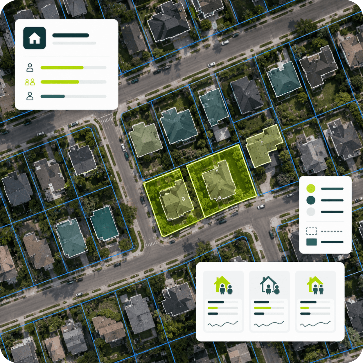
Aerial view of a neighborhood with property lines and overlayed data panels showing house icons and bar graphs.
An aerial view map displaying building addresses, with a highlighted building showing 4 matched addresses. A legend indicates address counts, and a pop-up shows specific addresses for 2450 Pine Street.
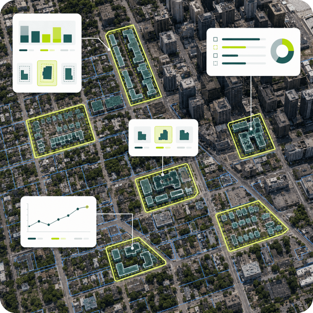
An aerial view of a city block with several buildings highlighted in yellow and teal, overlaid with data visualizations including bar charts, line graphs, and pie charts.

Delivery methods

Use the data where you already work

Matched Secondary Addresses is available as an add-on to Regrid parcel data through multiple enterprise delivery methods.

bulk files

Bring matched address records into your own GIS, database, analytics or data-processing environment.
Explore bulk file delivery

Regrid feature service

Use Matched Secondary Addresses as an address point layer alongside Regrid parcels in supported Esri workflows.
Explore Regrid Feature Service

Parcel API and tiles

Return associated matched address records alongside parcel results for applications and programmatic workflows.
Build with Regrid

See more of what is located on the parcel

Add validated, parcel-linked address detail to your Regrid data and choose the delivery method that fits your workflow.

*required
CREtelligent logo
Esri Logo
Autodesk logo
Langan logo
Burns & McDonnell logo
Agcor logo
Bloom Spatial logo
UC Berkeley logo
Upstream Tech logo
Crexi logo
Dycom logo
CQA logo
TomTom logo
Amazon logo
Polaris logo
United States Census Bureau logo
BCG logo

Frequently asked questions

  • No. Many properties have only one valid address, while others may have several. Some parcels, such as vacant or agricultural land, may not have a matched street address at all.

  • Matched Secondary Addresses is updated monthly.

  • No. Geocode precision varies. Address records include information about the geocode type so you can understand how the location was derived.

  • Not necessarily. A matched address represents an address record, not necessarily a physical residential unit. Commercial properties, for example, may have separate addresses for suites, floors or other locations.

logo

(888) 4RE-GRID

  • Contact us
  • Customer support
  • Privacy policy
  • Terms of use
  • Cookie Preferences

Subscribe for email updates

Company

  • About Regrid
  • Careers
  • Press
  • Shop Regrid merch

Resources

  • Coverage map
  • Support center
  • Reports
  • Regrid status page

Enterprise Solutions

  • U.S. parcels
  • Canada parcels
  • Europe parcels
  • Parcel and tiles API
  • Roadway Right-of-Way

Self-serve solutions

  • Regrid Property App
  • Shop the Data Store
  • API monthly plans