
-
Products ⌄
 Premium parcels
.png) AI and ML tools
AI and ML tools
 Roadway ROW
 Spatial add-ons
 Delivery methods
- Industries ⌄
- Data store
- Property App
- Esri users
- Resources ⌄
- Contact us


.svg)


-
Products ⌄
AI and ML tools
Roadway ROW
-
Industries ⌄
-
Resources ⌄
REGRID CANADA
Canadian parcel data, ready for your workflow
Bring standardized Canadian parcel boundaries, parcel IDs, addresses, and location context into your maps, GIS, apps, and data pipelines.


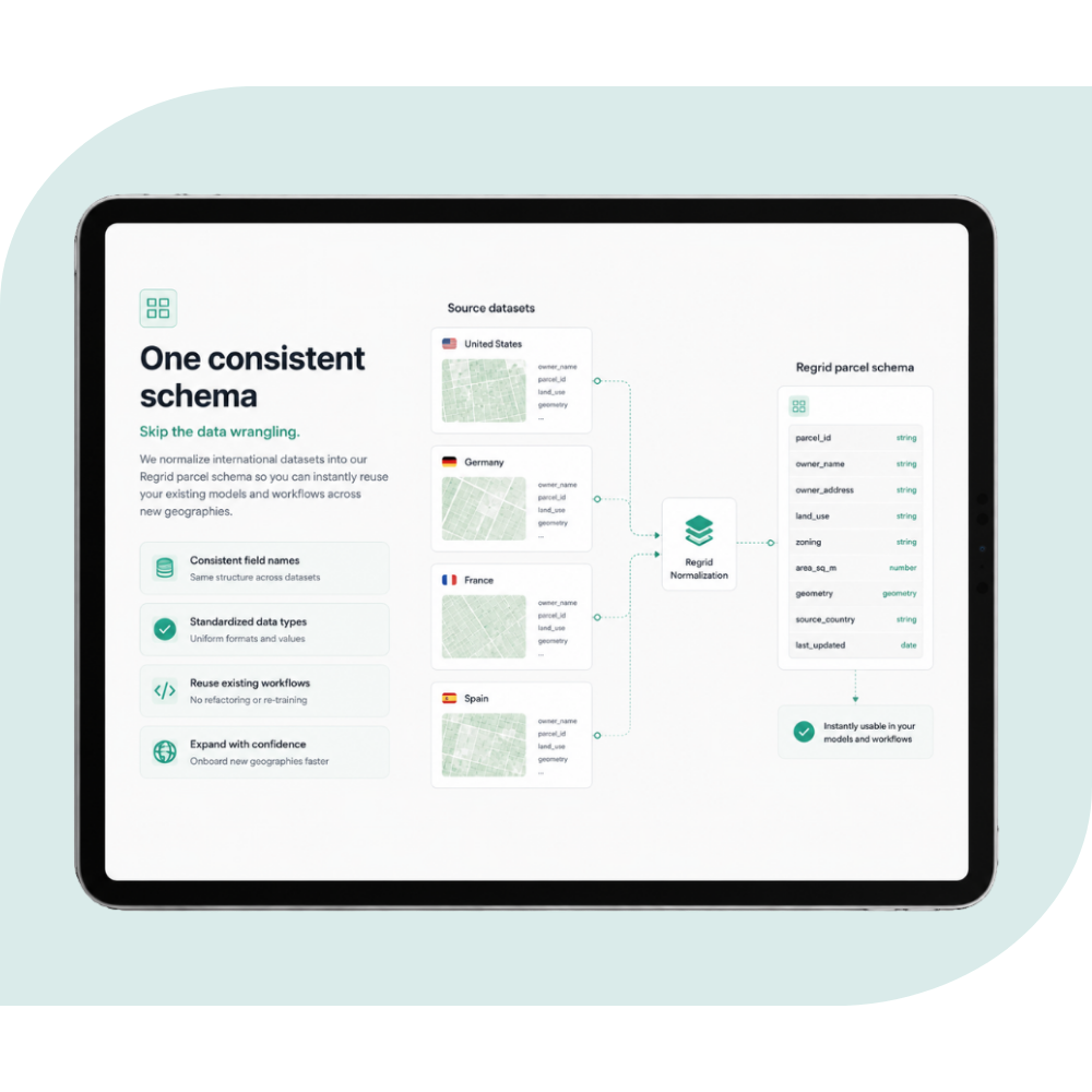
One parcel structure across Canada
Canadian parcel data comes from provincial, territorial, and local sources, each with its own formats, identifiers, address fields, and update cycles.
Regrid brings that data into one consistent, documented structure, so you can work across Canadian geographies without rebuilding your process as your coverage expands.
Purchase individual provinces through the Data Store or access broader coverage through Regrid’s enterprise delivery options.
What’s included in Regrid's Canadian parcel data
Work with parcel boundaries and core location information organized in a consistent, documented schema.
10+
Million
Canadian parcels


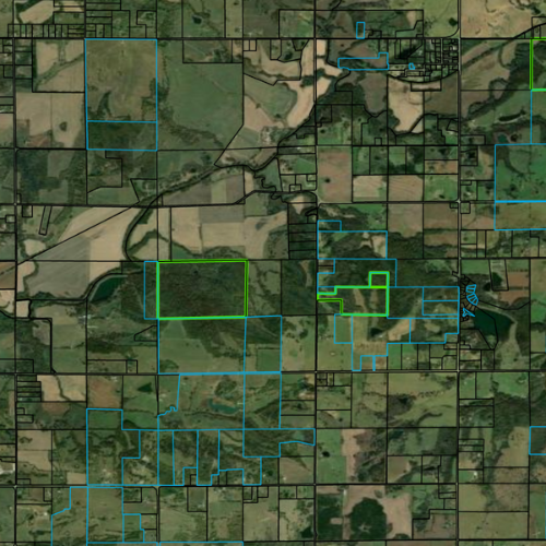
Parcel boundaries
Detailed parcel geometry ready for mapping, spatial analysis, applications, and GIS workflows.

Parcel identifiers
Primary and alternate parcel numbers, where available, organized within a consistent schema.

Address fields
Available parcel addresses, including structured fields such as street, city, province, and postcode.

Administrative geographies
Fields connecting parcels to provinces, census divisions, municipalities, reserves, and other relevant geographic areas.

Parcel area and coordinates
Regrid-calculated parcel area, latitude, and longitude fields to support filtering and spatial workflows.
.png)
Stable Regrid IDs
Persistent parcel identifiers designed to help track records across data refreshes and connect them with other datasets.
bulk files
Bring Canadian parcel data into internal databases, GIS systems, analytics environments, and cloud data pipelines. Select from formats including CSV, GeoPackage, File Geodatabase, WKT, and Parquet.
Explore bulk file delivery
Regrid feature service
Connect a hosted Canadian parcel layer directly to ArcGIS Pro, ArcGIS Online, ArcGIS SDKs, and other Esri-based workflows.
Explore Regrid Feature Service
Parcel API and tiles
Power applications, automated lookups, spatial searches, interactive maps, and internal tools with programmatic access to Canadian parcel data.
Build with Regrid
Regrid Property App
Search and explore Canadian parcels through an interactive web and mobile map for property research, fieldwork, saved places, and quick parcel lookup.
Explore the property app
You're in great company


(888) 4RE-GRID
Subscribe for email updates