-
Enterprise
Premium Parcels
 Roadway ROW
- Data Store
- Regrid App
- Esri Users
-
Resources
Support
Content
Programs
.png) Shop
Shop
- Contact Us
Standardized Zoning
Know the permitted use of land across the U.S.
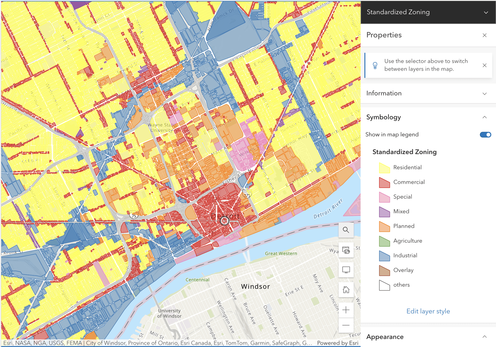
Discover the power of Regrid's Standardized Zoning geospatial layer matched to nationwide parcel data, and unlock a deeper understanding of land use.
Your complete understanding of land use starts now
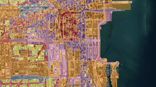
With monthly updates across all major metropolitan areas, Regrid’s zoning data empowers you to make better decisions and takes your understanding of land to new heights.

Access industry leading zoning data
Utilize Regrid's geospatial layer
Regrid's nationwide Parcel Data and Standardized Zoning add-on unlocks unparalleled land insights that will revolutionize the way you make decisions and plan for success.
This robust geospatial layer provides the foundation for informed site selection decision-making and strategic planning. By combining land boundaries with a rich zoning attribute set, Regrid empowers you through the complete understanding of land use.
26 Data Fields In One Powerful Geospatial Layer
| Unique ID for zoning polygon | Raw description from local source | Standardized zoning subtype | Link to local ordinance |
| Max floor to area ratio (FAR) | Minimum front setback | Minimum side setback | % of required landscaped space |
| Raw zoning code from local source | Standardized zoning type | Text field describing zoning | Delimited field of permitted uses |
| Max lot coverage | Minimum rear setback | Minimum required lot area | % of impervious cover allowance |
| Municipality name | Maximum building height allowed | Date last updated by Zoneomics | % of required open space |
| Minimum lot width | Census GeoID/FIPS for zoning poly | Unique ID for municipality | Delimited conditional permitted uses |
Experience the Regrid Standardized Zoning advantage
Understanding the permitted uses of land has always been a complicated issue for professionals and stakeholders, whether at the local or national level. Each municipality drafts and enforces its own zoning ordinance, making it a time-consuming process to compare data across various jurisdictions. Regrid's Standardized Zoning product revolutionizes this process by simplifying the acquisition of in-depth insights into land use permission through national standardization of local zoning data sets.
Land classification + zoning
Your complete understanding of land use.

Land Classification
What is currently happening on land
-
-
-
Related to how a property is used
-
Is created by the property existing
-
Changes organically through owner will
-
Exists through observation and classification
-
Happens everywhere
-
-

Zoning
What could be happening on land
-
-
-
Indicates the permitted use of a property
-
Is created by law/ordinance
- Can be changed through approval
- Exists only through ordinance
- Happens only in some areas
-
-
When you choose Regrid, you get access to both land classification and zoning data. So you're always in the know about land.

Regrid partners with Zoneomics to deliver unparalleled geospatial zoning insights and a holistic view of land use across the United States.
Seamless integration into your workflow
Discover the ease and efficiency of accessing, analyzing, and implementing zoning data with our comprehensive Standardized Zoning solution, delivered how you need it.