-
Enterprise
Premium Parcels
 Roadway ROW
- Data Store
- Regrid App
- Esri Users
-
Resources
Support
Content
Programs
.png) Shop
Shop
- Contact Us
Regrid Roadway Right-of-Way Polygon Data
A first-of-its-kind Roadway ROW polygon dataset
Go beyond road lines and quickly identify road and rail right-of-ways with our planning-grade nationwide dataset

Data that fills gaps
Roadways often exist independent of parcel boundaries and form their own network of usable land — but understanding this network spatially hasn’t been easy.
In the evolving worlds of land use, infrastructure development, and clean energy deployment, one critical piece of the spatial puzzle has remained frustratingly opaque: Roadway Right-of-Ways.
Regrid’s Roadway ROW Polygon Dataset changes that by clearly identifying the land occupied by road and rail corridors, inclusive of the unimproved land within the ROW.
.png)
Reinvent the road, reconnect with land
Create a queryable and actionable GIS Data layer
Nationwide Roadway ROW polygon geometry and in-depth spatial insight you can't find elsewhere
Speed up decision making and project identification
The only planning-grade Roadway ROW polygon national dataset
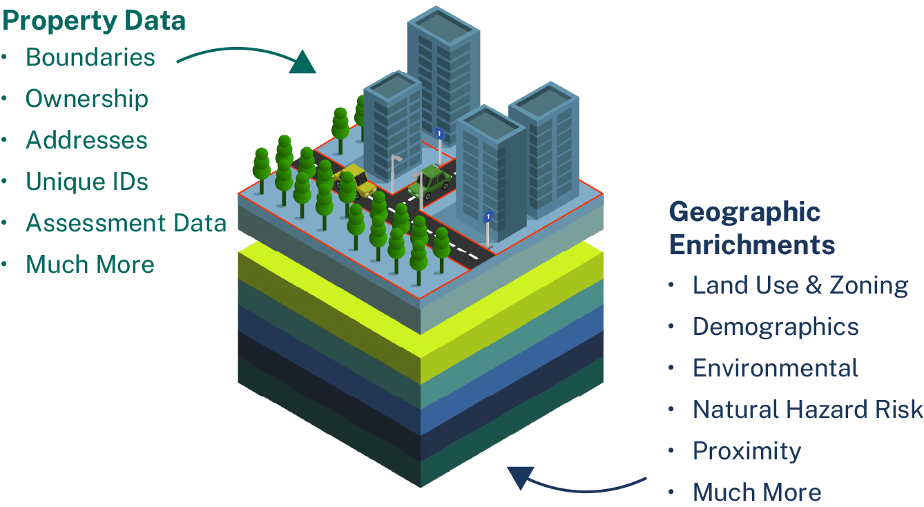
Combine Roadway ROW with Regrid Parcel data for deeper insights
Reveal powerful context about land ownership, usage, and opportunities around every roadway
Identify potential problems within roadway corridor areas
Clarify opportunities for solar siting, transmission planning, infrastructure projects, and more
Tap into the unrealized potential of land
Siting new infrastructure, expanding solar generation capacity, or running new lines? Understand buildable area quickly.
Solving ROW challenges across industries
Regrid's Roadway ROW polygon dataset is intentionally built to support public agencies, infrastructure firms, and utilities across the country.
State DOTs
Utilities
Federal Agencies
Telecommunication
AEC
Energy
Reimagining roadway data from the ground up
Regrid was the first to assemble a nationwide parcel dataset with 100% US coverage, making us uniquely equipped to bring clarity to the complex world of Roadway ROW.
With Premium Parcel boundaries as our foundation, our Roadway ROW is focused on strengthening your projects with a planning-grade dataset to quickly identify the right areas and keep things moving.
