
-
Products ⌄
 Premium parcels
.png) AI and ML tools
AI and ML tools
 Roadway ROW
- Industries ⌄
- Data store
- Property App
- Esri users
- Resources ⌄
- Contact us


.svg)


-
Products ⌄
AI and ML tools
Roadway ROW
-
Industries ⌄
-
Resources ⌄
INDUSTRIES
Nationwide parcel data for AI and machine learning
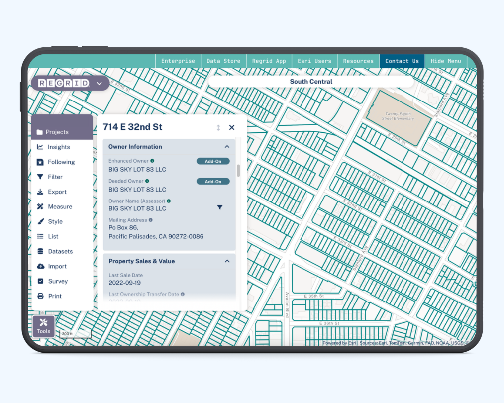
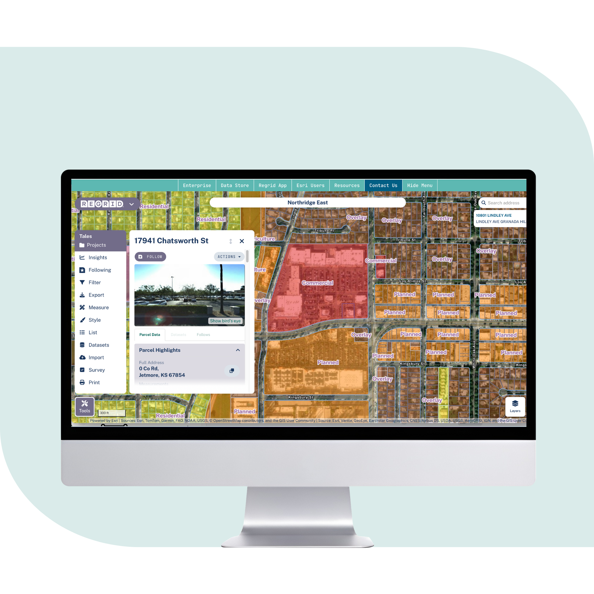
Regrid gives teams leveraging AI and machine learning standardized parcels, ownership, addresses, buildings, zoning, and valuation data for better models and property intelligence.

Better data input for property intelligence
AI and machine learning models need clean, consistent property context. When parcel records vary across counties, teams spend more time normalizing data and less time building useful models. With Regrid’s standardized nationwide parcel layer, you can:

100%
U.S. Parcel
data coverage


Start from a consistent property reference
Connect imagery, risk layers, internal records, and model outputs to parcel IDs.

Evaluate completeness before modeling
Understand field availability, coverage, and refresh context before building or retraining models.

Move from prediction to location intelligence
Turn model outputs into parcel-based insights that can be mapped, shared, and used in products.
Built for core AI and machine learning workflows
See how standardized parcel data supports modeling, imagery analysis, and property intelligence at scale.
Build better training datasets
Use standardized parcel data to connect property attributes, imagery, risk layers, and internal records across counties.

Ground imagery analysis in parcels
Link satellite, aerial, or computer vision outputs to parcel boundaries for clearer change and land use analysis.
Model property risk and context
Use parcels as the spatial reference for risk, ownership, buildings, valuation, and other property-level signals.
You're in great company


Real examples from AI and machine learning projects
Regrid supports data science, engineering, and product teams that need standardized parcel data for modeling, prediction, imagery analysis, and property intelligence at scale
Climate risk modeling at scale
A mortgage technology provider used Regrid parcel data and Parquet cloud processing to support climate risk models. The updated pipeline reduced upfront engineering work and lowered ongoing maintenance costs.
Austin growth analysis with Makepath
Makepath combined machine learning tools, Planet imagery, and Regrid parcel data to study growth across Austin. The work produced change detection maps across 6,750 square miles from 2017 to 2022.
Land use classification from imagery
Regrid worked with a partner using computer vision on aerial imagery to improve land use analysis. Parcel data helped inform and ground-truth land use codes for better LBCS coverage, accuracy, and currency.
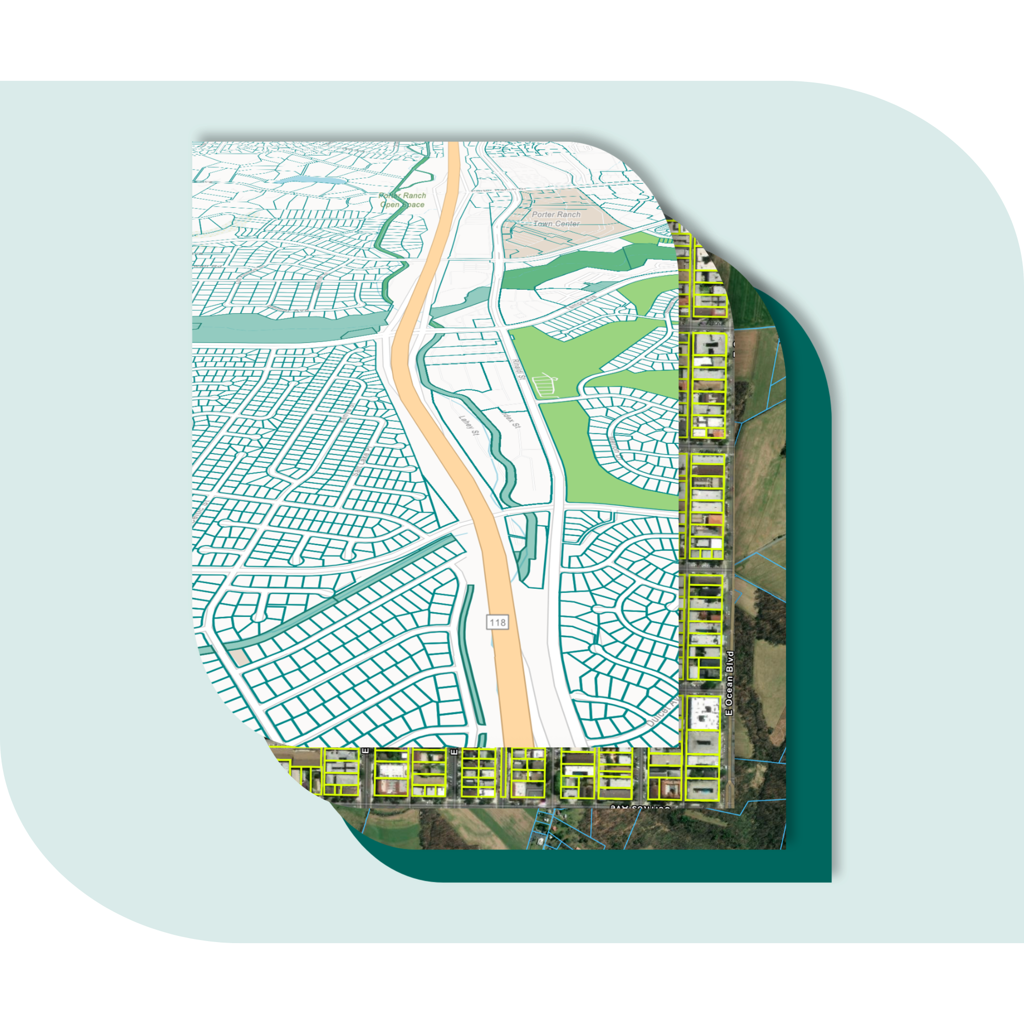
Explore the coverage map
See live coverage, refresh dates, and attribute completeness. Click any county to see parcel counts and field-by-field coverage, then continue to purchase or explore data in the Regrid web app.

What you get

-
Parcel boundaries and sizes, owner names and mailing addresses, buildings, known addresses, zoning, valuation, and other parcel attributes delivered in one consistent structure.
-
100% U.S. parcel coverage, with refresh dates and attribute completeness that help teams understand data readiness before modeling, analysis, or deployment.
-
Use bulk files and cloud delivery for modeling and analytics, or API, tiles, and Feature Service for applications, dashboards, and map-based products.
Frequently asked questions
-
Yes. Regrid provides standardized parcel attributes and consistent identifiers that help teams build reusable features across counties and markets. Teams can also review attribute completeness before modeling.
-
Regrid supports bulk delivery, including Parquet and cloud delivery, so data science teams can process parcel data in modern analytics environments.
-
Yes. Regrid supports API, tiles, and Feature Service delivery for apps, dashboards, and portals. Licensing details depend on how the data is displayed, shared, and protected from raw geometry extraction.
-
Regrid refreshes counties on an ongoing schedule and publishes coverage, refresh dates, and attribute completeness so teams can understand what data is available and how recently it was updated.
-
Most teams start with one delivery method, connect it to existing workflows, then expand to additional access methods as needs grow across phases and business units.

(888) 4RE-GRID
Subscribe for email updates