×
Enhanced Ownership - Get Daily Delivery of Changes!
Regrid TM Logo
  • Products

    Data

    • Nationwide Parcel Data Nationwide Parcel Data
    • Parcel API & Tiles Parcel API & Tiles
    • Parcels and Matched Building Footprints Parcels + Matched Building Footprints
    • addresses-menu-icon Parcels + Matched Secondary Addresses
    • Enhanced Ownership Enhanced Ownership Parcel Data Add-On

    Self-Serve Tools

    • Data Store Data Store
    • Property App Property App
    • Mapping Tools Self-Serve API Plans
  • Markets

    • datascience-usecase Data Science
    • featureservice-menuicon Feature Service
    • support-site_nav-1 Land Use Codes
    • Data With Purpose Non-Profit
    • Real Estate Use Case page symbol Real Estate
    • renewables-usecase Renewable Energy
    • blog_nav Vacancy
  • Resources

    Content

    • Regrid Blog Blog
    • Coverage Map Coverage Map
    • Reports Reports
    • Webcasts Webcasts

    Support

    • Parcel Data FAQ Parcel Data FAQ
    • Property Platform FAQ Property App FAQs
    • Support Site Support Site
    • Tutorial Videos Tutorial Videos

    Customers

    • Customer Stories Customer Stories
    • Case Studies Case Studies
    • Data with purpose logo Data With Purpose
  • Contact Us
Go to Map
  • Products

    Data

    • Nationwide Parcel Data Nationwide Parcel Data
    • Parcel API & Tiles Parcel API & Tiles
    • Parcels and Matched Building Footprints Parcels + Matched Building Footprints
    • addresses-menu-icon Parcels + Matched Secondary Addresses
    • Enhanced Ownership Enhanced Ownership Parcel Data Add-On

    Self-Serve Tools

    • Data Store Data Store
    • Property App Property App
    • Mapping Tools Self-Serve API Plans
  • Markets

    • datascience-usecase Data Science
    • featureservice-menuicon Feature Service
    • support-site_nav-1 Land Use Codes
    • Data With Purpose Non-Profit
    • Real Estate Use Case page symbol Real Estate
    • renewables-usecase Renewable Energy
    • blog_nav Vacancy
  • Resources

    Content

    • Regrid Blog Blog
    • Coverage Map Coverage Map
    • Reports Reports
    • Webcasts Webcasts

    Support

    • Parcel Data FAQ Parcel Data FAQ
    • Property Platform FAQ Property App FAQs
    • Support Site Support Site
    • Tutorial Videos Tutorial Videos

    Customers

    • Customer Stories Customer Stories
    • Case Studies Case Studies
    • Data with purpose logo Data With Purpose
  • Contact Us

The Regrid Blog

Discover the Latest in Land Parcels & Spatial Data with the Regrid Team!

Categories

  • Announcements
  • Democratizing Data
  • Regrid Updates
  • Parcel Data Updates
  • Product How-To
  • Use Cases
  • Customer & Guest Blogs
  • Working at Regrid
  • All About Parcel Data
  • Living In The Map (w/ CEO Jerry Paffendorf)
Regrid's 2022 EoY Nationwide Parcel Data Report Is Here!

Regrid's 2022 End-of-Year Parcel Data Report is here!

Team Regrid December 15, 2022

We can't believe it's that time of year again - December means that the 2022 edition of Regrid's End-of-Year Parcel Data Report has arrived.


We have two reports this time - the first is our annual report on the key performance indicators (KPIs) and enhancements made to our Nationwide Parcel Data. The second report covers the inaugural year of our nonprofit organization & academia support program - Data with Purpose. Take a look below -


Download 2022 EoY Nationwide Parcel Data Report

Data With Purpose 2022 End-of-Year Report

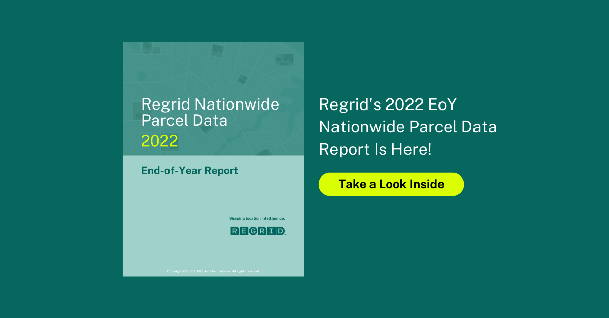
Regrid 2022 EoY Parcel Data Report

As we strive to achieve a level of transparency never attempted in the data industry, the Regrid team looked back at 2022 and all the improvements we've made to our Nationwide Parcel Data offerings. We've put all those stats together in our nifty 2022 EoY Report.


Download the 2022 EoY Report


This report is a 1:1 comparison of our parcel data Key Performance Indicators (KPIs) between December 2022 and December 2021. Take a look inside the report and check out some key statistics about our coverage improvements this year.


Screen Shot 2022-12-14 at 10.57.22 AM


Data With Purpose 2022 End-of-Year Report
Regrid has a long history of fighting for increased access to parcel data for nonprofits, public policy advocacy, and researchers & academics, formalized under the 'Data With Purpose' program. 2022 has been our first complete year of the program. Take a look at our End-of-Year Data With Purpose Report to learn more about some of our customer projects and the overall impact of this program.

Data With Purpose 2022 at a glance.


2022 - EoY Recap Webinar
Join us this afternoon, December 15 @ 2:30 PM EDT for a live 2022 recap, hosted by Regrid CEO & co-founder Jerry Paffendorf, and our Chief Product Officer Sahana Murthy. Going to be a fun, informal chat about what a phenomenal year 2022 has been for Regrid and a look at 2023.


Register now to save a seat.


THAT'S A WRAP FOR 2022!

Looking towards the new year, anticipate improved currency, industry-leading coverage, and more matched datasets.

If you need us or our nationwide parcel data, feel free to reach out at parcels@regrid.com. From now and into the new year, we will be here. 
On behalf of the entire Regrid Team, we wish you all a very happy, safe, and healthy holiday season!

See you all in 2023. 🥳
 
Happy New Year!
Team Regrid

parcels@regrid.com
 
 
Previous Next
logo

help@regrid.com

(888) 4RE-GRID

440 Burroughs St, Suite 672 Detroit, MI 48202

  • Contact Us

Subscribe to our email updates -

Regrid is a creation of Loveland Technologies.

Company

  • About Us
  • Careers
  • Why Regrid?
  • Press

Resources

  • Coverage Map
  • Support Center
  • Reports

Support

  • Parcel Data FAQ
  • Platform FAQ
  • Contact Us
  • Site Status

Customers

  • Customer Stories
  • Case Studies
  • Non Profit Support

Products

  • Nationwide Parcel Data
  • Parcel API & Tiles
  • Property App
  • Building Footprints
  • Matched Addresses
  • Feature Service
  • Enhanced Ownership