regrid_tm_forest
Sign In
  • Products ⌄

    Regrid premium parcel data menu icon Premium parcels

    • global-icon Global parcels
    • US Parcel Data U.S. parcels
    • Europe-icon-navigation European parcels
    • Canada Parcel Data Canadian parcels
    • map-location-pin-regrid-icon U.S. coverage map

    Spatial add-ons menu icon Spatial add-ons

    • Matched building footprints menu icon Matched building footprints
    • Matched secondary addresses menu icon Matched secondary addresses
    • Standardized zoning menu icon Standardized zoning
    • Enhanced property ownership menu icon Daily ownership updates
    • roadway-row-icon_2025-1 U.S. roadway polygons

    Data access icon Delivery methods

    • Bulk files icon Bulk files
    • Feature Service Feature service
    • api-icon_2025 Parcel API and tiles
    • API Sandbox icon Interactive API sandbox
  • Industries ⌄

    industries-we-serve Industries we serve

    • aec-navigation-icon Architecture, engineering, and construction (AEC)
    • re-navigation-icon Real estate
    • gov-navigation-icon Government
    • ag-navigation-icon Agriculture
    • energy-navigation-icon Renewable energy and utilities
    • telco-navigation-icon Broadband and telecommunications
    • insurance-navigation-icon Insurance and finance
    • ai-ml-navigation-icon AI and machine learning
    • transportation-navigation-icon Transportation and logistics
  • Data store
  • Property App
  • Esri users
  • Resources ⌄

    Support menu icon Support

    • Support site menu icon Support site
    • Tutorial videos menu icon Tutorial videos
    • blog_resources_icon-1 Parcel schema
    • Regrid icon Sign into the Regrid Property App

    Content menu icon Content

    • Blog menu icon Blog
    • Customer stories menu icon Customer Stories
    • Reports menu icon Reports
    • data-store-2 Coverage map

    Programs menu icon Programs

    • academia_menu-icon Nonprofit & Academia
    • Regrid giving menu icon Regrid Giving
    • dwp-navigation-icon copy Data with Purpose

    shop icon Shop

    • merch_icon_2025 Regrid Merch
  • Contact us
Contact us
  • Products ⌄

    Premium parcels

    • Global parcels
    • U.S. parcels
    • European parcels
    • Canadian parcels
    • U.S. coverage map

    Delivery methods

    • Bulk files
    • Feature service
    • Parcel API and tiles
    • Interactive API sandbox

    Spatial add-ons

    • Matched building footprints
    • Matched secondary addresses
    • Standardized zoning
    • Daily ownership updates
    • U.S. roadway polygons
  • Industries ⌄

    Industries we serve

    • Architecture, engineering, and construction (AEC)
    • Real estate
    • Government
    • Agriculture
    • Renewable energy and utilities
    • Broadband and telecommunications
    • Insurance and finance
    • AI and machine learning
    • Transportation and logistics
  • Data store
  • Property App
  • Esri users
  • Resources ⌄

    Support

    • Support site
    • Tutorial videos
    • Parcel schema
    • Sign into the Regrid Property App

    Programs

    • Nonprofit & Academia
    • Regrid Giving
    • Data with Purpose

    Content

    • Blog
    • Customer Stories
    • Reports
    • Coverage map

    Shop

    • Regrid Merch
  • Contact us

The Regrid Blog

Discover the Latest in Land Parcels & Spatial Data with the Regrid Team!

  • Announcements
  • Parcel Data Updates
  • Democratizing Data
  • Regrid Updates
  • Product How-To
  • Use Cases
  • All About Parcel Data
  • Customer & Guest Blogs

Latest Blog Post

Parcel data update | June 2026

Read More
The Regrid Data Team on June 5, 2026

Categories

  • Announcements
  • Parcel Data Updates
  • Democratizing Data
  • Regrid Updates
  • Product How-To
  • Use Cases
  • All About Parcel Data
  • Customer & Guest Blogs
  • Working at Regrid
  • Regrid 100
  • Reports
Putting Carbon on the Map

How the Trust for Public Land used Regrid to build the first parcel-level climate investment tool In the race to address climate change, land is one... Read More

Team Regrid
February 11, 2026
Why Standardized Parcel Data Matters for AEC Project Delivery

How Burns & McDonnell Built a Shared Foundation Across Teams In architecture, engineering, and construction (AEC), parcel data supports every step... Read More

Team Regrid
September 15, 2025
14 Million Groundwater Wells, Now On One Map

For decades, one of the most critical elements of American infrastructure—groundwater wells—remained stubbornly unmapped at scale. Despite their... Read More

Team Regrid
August 20, 2025
How Regrid's Data With Purpose Program Helps the National Zoning Atlas Demystify Zoning

When the National Zoning Atlas set out on an ambitious project to democratize national zoning data, they came to Regrid's Data With Purpose program.... Read More

Alex Alsup
March 27, 2024
Supporting Sustainable Development with Location Intelligence by Arnold Rodgers
Supporting Sustainable Development with Location Intelligence

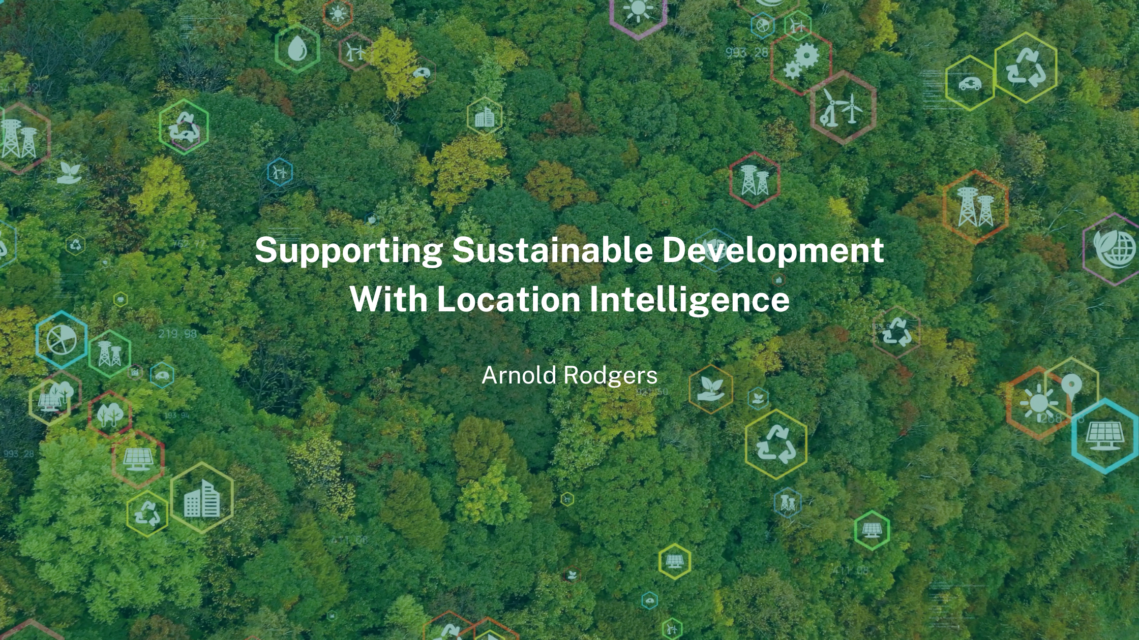
The following blog post has been written by an external contributor. Innovative solutions are emerging as the world attempts to address... Read More

Arnold Rodgers
May 16, 2023
Rising seas threaten tax bases as private property falls below tidelines, Press Release
Rising seas threaten tax bases - Press Release

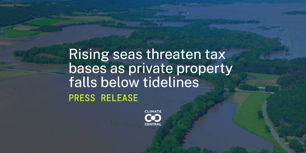
Princeton, NJ – September 8, 2022 – New analysis from Climate Central quantifies the risk of sea level rise to the tax bases of hundreds of coastal... Read More

Climate Central
September 8, 2022
The New Regrid Feature Service

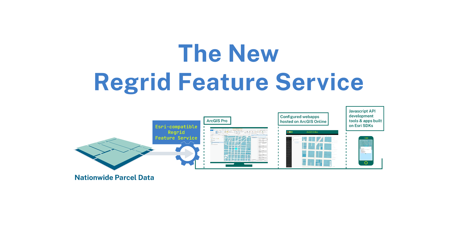
We are back with a big announcement today. Introducing a new delivery method (in addition to bulk files and API) that delivers our nationwide parcel... Read More

Team Regrid
June 29, 2022
Lands Parcels in Augmented Reality with the Regrid API
Land Parcels in Augmented Reality with the Regrid API

This week the Regrid team released major updates to our nationwide land parcel API. The API makes it easy to pull spatial records from our dataset of... Read More

Jerry Paffendorf
June 8, 2022
How Regrid Data Helped Research in Puerto Rico after Hurricane Maria
How Regrid Data Helped Research in Puerto Rico After Hurricane Maria

How Regrid Land Parcel Data Helped this Researcher Assess Hurricane Damage to Coffee Farms in Puerto Rico Read More

Francis Russell
May 27, 2022
California's pilot project tackles drought using solar panels

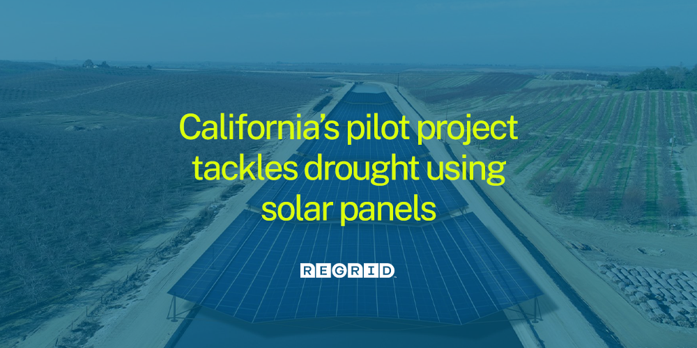
California is leading the way in the United States with a pilot project aimed at generating solar energy while protecting a scarce resource - water.... Read More

Meg Oppenheim
March 7, 2022
  • Pre
  • 1
  • 2
  • Next

Subscribe

Subscribe to our newsletter & stay updated

logo

(888) 4RE-GRID

  • Contact Us
  • Customer Support
  • Privacy Policy
  • Terms of Use
  • Cookie Preferences

Subscribe for email updates

Company

  • About Regrid
  • Careers
  • Press
  • Shop Regrid Merch

Resources

  • Coverage Map
  • Support Center
  • Reports
  • Regrid Status Page

Enterprise Solutions

  • U.S. Parcels
  • Canada Parcels
  • Parcel & Tiles API
  • Roadway Right-of-Way

Self-Serve Solutions

  • Regrid Property App
  • Shop the Data Store
  • API Monthly Plans