Regrid logo, registered trademark
  • Enterprise

    Regrid premium parcel data menu icon Premium Parcels

    • US Parcel Data U.S. Parcels
    • Canada Parcel Data Canadian Parcels
    • global-icon Global Parcels

    Spatial add-ons menu icon Spatial Add-Ons

    • Matched building footprints menu icon Matched Building Footprints
    • Matched secondary addresses menu icon Matched Secondary Addresses
    • Standardized zoning menu icon Standardized Zoning
    • Enhanced property ownership menu icon Daily Ownership Updates

    road icon Roadway ROW

    • Roadway polygons icon U.S. Roadway Polygons

    Data access icon Data Access

    • data-store-2 Coverage Map
    • blog_resources_icon-1 Parcel Schema
    • Bulk files icon Bulk Files
    • Feature Service Feature Service
    • api-icon_2025 Parcel API & Tiles
    • API Sandbox icon Interactive API Sandbox
  • Data Store
  • Regrid App
  • Esri Users
  • Resources

    Support menu icon Support

    • Support site menu icon Support Site
    • Tutorial videos menu icon Tutorial Videos

    Content menu icon Content

    • Blog menu icon Blog
    • Customer stories menu icon Customer Stories
    • Reports menu icon Reports

    Programs menu icon Programs

    • academia_menu-icon Nonprofit & Academia
    • Regrid giving menu icon Regrid Giving
  • Contact Us
Contact Us
  • Enterprise

    Premium Parcels

    • U.S. Parcels
    • Canadian Parcels
    • Global Parcels

    Roadway ROW

    • U.S. Roadway Polygons

    Spatial Add-Ons

    • Matched Building Footprints
    • Matched Secondary Addresses
    • Standardized Zoning
    • Daily Ownership Updates

    Data Access

    • Coverage Map
    • Parcel Schema
    • Bulk Files
    • Feature Service
    • Parcel API & Tiles
    • Interactive API Sandbox
  • Data Store
  • Regrid App
  • Esri Users
  • Resources

    Support

    • Support Site
    • Tutorial Videos

    Programs

    • Nonprofit & Academia
    • Regrid Giving

    Content

    • Blog
    • Customer Stories
    • Reports
  • Contact Us

The Regrid Blog

Discover the Latest in Land Parcels & Spatial Data with the Regrid Team!

Regrid Blog

Living In The Map

Categories

  • Announcements
  • Parcel Data Updates
  • Democratizing Data
  • Regrid Updates
  • Product How-To
  • Use Cases
  • Customer & Guest Blogs
  • All About Parcel Data
  • Working at Regrid
  • Regrid 100
  • Reports

Automate and Scale with Batch Processing for Regrid API

Team Regrid May 29, 2025

If you’ve ever struggled to enrich thousands of coordinates with accurate parcel data, you’re not alone. Many organizations rely on manual geospatial workflows to tie location data to parcel boundaries—slow, tedious, and error-prone work that doesn’t scale.


That’s why we built Regrid’s API with Batch Processing


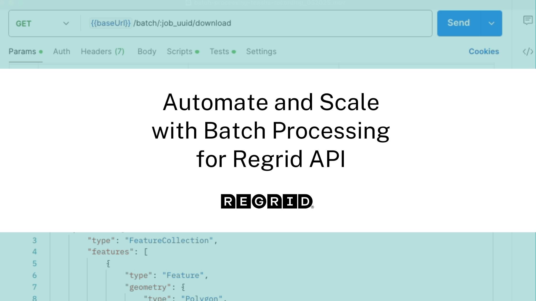
This new API endpoint was designed for one simple goal: take your CSV of lat/lon points and return clean, structured parcel data, automatically, in GeoJSON format, ready for mapping and analysis.


Whether you’re dealing with 500 locations or 5 million, this tool is built for speed, accuracy, and enterprise-grade scale.


Why We Built Batch Processing

We heard the same story again and again:


"We have thousands of points and just want to know which parcels they fall on, without building an entire spatial workflow in-house."


Existing tools were either too slow, required advanced GIS knowledge, or weren’t built for API-driven automation.


With the Batch Processing for Regrid API you can now:


  • Upload a CSV of coordinates and your custom IDs
  • Monitor job progress in real-time
  • Download enriched GeoJSON output with parcel matches
  • Run massive enrichment tasks asynchronously, without worrying about rate limits

This tool is built for organizations that need bulk spatial processing and parcel-level intelligence. Some use case examples are:


  • Real estate teams enriching leads with parcel attributes
  • Logistics companies mapping delivery points to parcels
  • Local governments preparing citywide zoning analyses
  • Insurance teams syncing property data with tax boundaries
  • Environmental orgs tying survey data to land ownership

If you work with spatial data at scale, this API is for you.


Why is it better?

Here’s what makes our batch solution stand out:


  • Massive scale: Submit large files without worrying about timeouts
  • Developer-friendly: Clean endpoints, job status tracking, easy integration
  • Custom tagging: Match your own IDs to each point and keep your data aligned
  • GeoJSON outputs: Ideal for mapping tools, data analysis, or further automation
  • Usage transparency: You’re only billed when you download, and only for successful matches

Ready to Go Batch?

For more technical instructions on how to use Batch Processing, click here for a step-by-step guide.


If your organization needs to process tens of thousands of records without bottlenecks, we’d love to hear from you. Reach out to our sales team to get started on your project today.

Previous Next
logo

(888) 4RE-GRID

  • Contact Us
  • Customer Support
  • Privacy Policy
  • Terms of Use

Subscribe for email updates

Company

  • About Regrid
  • Careers
  • Press

Resources

  • Coverage Map
  • Support Center
  • Reports
  • Regrid Status Page

Enterprise Solutions

  • U.S. Parcels
  • Canada Parcels
  • Parcel & Tiles API

Self-Serve Solutions

  • Regrid Property App
  • Shop the Data Store
  • API Monthly Plans