Press Release Published 2/18/25 - click here to view the full release
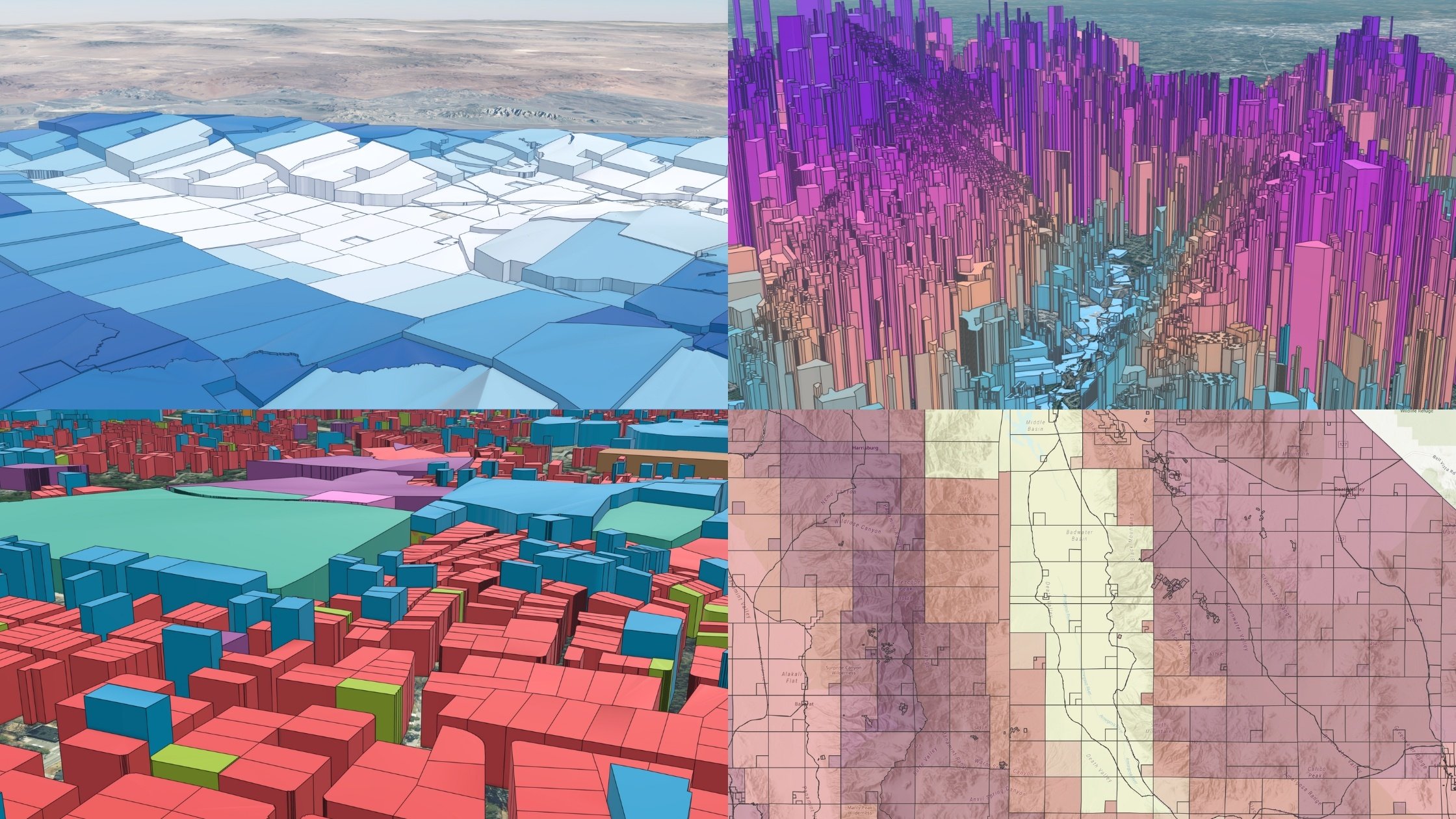
Parcels cover the world in a quilt of property boundaries and are necessary to know when making location decisions. But parcels have remained largely detached from the world of geographic data, limiting their usefulness. That's why Esri, the global leader in digital geography, and Regrid, the leader in parcel data for all audiences, have partnered on an ambitious series of parcel data innovations at regrid.com/esri.
Regrid's Premium Parcel Data now carries demographic, environmental, elevation, and other geographic enrichments produced in partnership with Esri. Premium enrichments will continue expanding to include many more geographic layers over time, opening a new world of geographic understanding at the parcel level.
The data is available for enterprise customers to use in their own maps and systems via API, bulk files, cloud, and Feature Service delivery into Esri software. It is also available in The Regrid Property App for iOS, Android, and the web.
Premium geographic enrichments build on Regrid's innovations as Esri's commercial partner for parcel data, including a free map of parcel boundaries covering 100% of the United States available through the ArcGIS Living Atlas of the World, along with an integrated Data Store for the ArcGIS user community. By combining Regrid's dataset with Esri's mapping technology, businesses have convenient access to the best available parcel data matched to their own data in the world's best GIS software.
"Regrid's unparalleled expertise in parcel data is a perfect complement to premium data offerings," said Lauri Young, senior product manager on Esri's data and location services team. "By enriching their parcel boundaries with our curated demographics, elevation and environmental data, we're delivering the benefit of powerful insights and value to our mutual customers."
"Regrid is dedicated to advancing the world's understanding of parcels as the foundational unit of human geography," said Regrid CEO Jerry Paffendorf. "There's no one better to work with on that mission than Esri. We look forward to merging the world of geography writ large with how humans have subdivided it into discrete parcels."
For more information on Regrid's Premium Parcel Data, the US Parcel Boundary tile layer, and all of Regrid and Esri's collaborations, visit regrid.com/esri or explore Esri's blog article, "US Parcel Boundary Tile Layer Now Available."


.svg)


 Premium parcels
.png) AI and ML tools
AI and ML tools
 Delivery methods
