regrid_tm_forest
Sign In
  • Products ⌄

    Regrid premium parcel data menu icon Premium parcels

    • global-icon Global parcels
    • US Parcel Data U.S. parcels
    • Europe-icon-navigation European parcels
    • Canada Parcel Data Canadian parcels
    • map-location-pin-regrid-icon U.S. coverage map

    Spatial add-ons menu icon Spatial add-ons

    • Matched building footprints menu icon Matched building footprints
    • Matched secondary addresses menu icon Matched secondary addresses
    • Standardized zoning menu icon Standardized zoning
    • Enhanced property ownership menu icon Daily ownership updates
    • roadway-row-icon_2025-1 U.S. roadway polygons

    Data access icon Delivery methods

    • Bulk files icon Bulk files
    • Feature Service Feature service
    • api-icon_2025 Parcel API and tiles
    • API Sandbox icon Interactive API sandbox
  • Industries ⌄

    industries-we-serve Industries we serve

    • aec-navigation-icon Architecture, engineering, and construction (AEC)
    • re-navigation-icon Real estate
    • gov-navigation-icon Government
    • ag-navigation-icon Agriculture
    • energy-navigation-icon Renewable energy and utilities
    • telco-navigation-icon Broadband and telecommunications
    • insurance-navigation-icon Insurance and finance
    • ai-ml-navigation-icon AI and machine learning
    • transportation-navigation-icon Transportation and logistics
  • Data store
  • Property App
  • Esri users
  • Resources ⌄

    Support menu icon Support

    • Support site menu icon Support site
    • Tutorial videos menu icon Tutorial videos
    • blog_resources_icon-1 Parcel schema
    • Regrid icon Sign into the Regrid Property App

    Content menu icon Content

    • Blog menu icon Blog
    • Customer stories menu icon Customer Stories
    • Reports menu icon Reports
    • data-store-2 Coverage map

    Programs menu icon Programs

    • academia_menu-icon Nonprofit & Academia
    • Regrid giving menu icon Regrid Giving
    • dwp-navigation-icon copy Data with Purpose

    shop icon Shop

    • merch_icon_2025 Regrid Merch
  • Contact us
Contact us
  • Products ⌄

    Premium parcels

    • Global parcels
    • U.S. parcels
    • European parcels
    • Canadian parcels
    • U.S. coverage map

    Delivery methods

    • Bulk files
    • Feature service
    • Parcel API and tiles
    • Interactive API sandbox

    Spatial add-ons

    • Matched building footprints
    • Matched secondary addresses
    • Standardized zoning
    • Daily ownership updates
    • U.S. roadway polygons
  • Industries ⌄

    Industries we serve

    • Architecture, engineering, and construction (AEC)
    • Real estate
    • Government
    • Agriculture
    • Renewable energy and utilities
    • Broadband and telecommunications
    • Insurance and finance
    • AI and machine learning
    • Transportation and logistics
  • Data store
  • Property App
  • Esri users
  • Resources ⌄

    Support

    • Support site
    • Tutorial videos
    • Parcel schema
    • Sign into the Regrid Property App

    Programs

    • Nonprofit & Academia
    • Regrid Giving
    • Data with Purpose

    Content

    • Blog
    • Customer Stories
    • Reports
    • Coverage map

    Shop

    • Regrid Merch
  • Contact us

The Regrid Blog

Discover the Latest in Land Parcels & Spatial Data with the Regrid Team!

Categories

  • Announcements
  • Parcel Data Updates
  • Democratizing Data
  • Regrid Updates
  • Product How-To
  • Use Cases
  • All About Parcel Data
  • Customer & Guest Blogs
  • Working at Regrid
  • Regrid 100
  • Reports

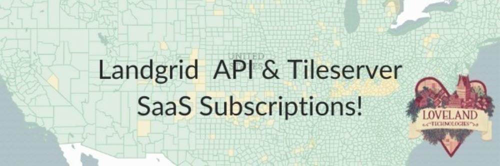
New: Self-Serve Parcel API & Tileserver Subscriptions

Sahana Murthy October 20, 2020

Landgrid API and Tileserver - SaaS subscriptions


This Halloween, the Loveland team has nothing scary or spooky for you. Just more easily accessible product updates.

This one is for the app developers out there who want to see our parcels flowing into your own creations: introducing our new Self-Serve API and Tiles.

You all know that we’ve had the API and Tileserver options for a while now. So what’s new, you ask? What’s new are the SELF-SERVE SaaS subs launching today. Signup by clicking on one of the options below: 

No more delays. You can come signup, get a week’s trial before paying and be on your way to using either our parcel API or our tiles or both, without going through the sales cycle back & forth.
We understand that you need a faster time to market solution to evaluate & integrate into your app right away as well. 

So, visit the API + Tiles Bundle page and you can sign-up for the Saas subs right there!

How does this work?

Simple 3-step process:

Step-1 - Select the right tier and solution for your requirements. Please be sure to review the price &  read through the Loveland parcel schema, Coverage Report and Documentation to make sure you are getting the right set of attributes & solutions.

Step-2 - Sign-up for the solution and tier that makes most sense to your use case from our Parcel API, Tileserver and/or Bundle page. 

Step-3 - Try for free for 1 week before paying - We know that you wouldn’t want to buy it without trying it. Which is why we have a check-box during signup to select a 1 week trial. Because this is self-serve, you will need to enter your credit card information during sign-up however, if you don’t like our API or tiles during the trial period, you can cancel it anytime in those 7 days and your card won’t be charged. If you like the product & don’t cancel, then billing automatically starts after day 7 and renews on a monthly basis.  If you don’t select the trial, then billing starts immediately.

3 easy peezy steps and your development team is all set.

Parcel API

Tileserver button


Hybrid Pricing: 

Our easy, scalable and affordable monthly plans allow you to sign up, test for free for a week and then use our service for the way you want to. We have designed a hybrid model with a fixed base price that allows you to use the service up to the limit specified. Any usage on top of the limit is subject to our affordable overage/per record pricing. So our subscriptions scale with you & your products.

Upgrades or changes to your sub:
Say a week or a month into your account, you realize you’d like to upgrade to either the premium tier or to the bundle, then let us know by emailing at parcels@landgrid.com. Instead of creating a new or duplicate account, the Landgrid support team will make the changes for your existing account. 

Help & Documentation:
Once you sign up, your API dashboard comes equipped with all the necessary documentation and the token you need to get started. These are meant to be self-serve subs to get you what you need faster. That said, if you have any questions or need help with using the API, feel free to email us at help@landgrid.com.

Enterprise scale subs:
If you are looking for flexible API subscriptions for annual contracts or subs that account for high usage without the per record pricing, we’ve got you covered there as well. Please reach out to us at parcels@landgrid.com and our sales team will get in touch with you as soon as possible and get you the subscription you need.

Well, that’s our big API update for you this month. 

We have made it even easier for you to use our parcel API and/or our vector & raster tiles. Please sign up today and give us your feedback.
See you all in November.

Happy Mapping!


Previous Next
logo

(888) 4RE-GRID

  • Contact Us
  • Customer Support
  • Privacy Policy
  • Terms of Use
  • Cookie Preferences

Subscribe for email updates

Company

  • About Regrid
  • Careers
  • Press
  • Shop Regrid Merch

Resources

  • Coverage Map
  • Support Center
  • Reports
  • Regrid Status Page

Enterprise Solutions

  • U.S. Parcels
  • Canada Parcels
  • Parcel & Tiles API
  • Roadway Right-of-Way

Self-Serve Solutions

  • Regrid Property App
  • Shop the Data Store
  • API Monthly Plans