-
Enterprise
Premium Parcels
 Roadway ROW
- Data Store
- Regrid App
- Esri Users
-
Resources
Support
Content
Programs
.png) Shop
Shop
- Contact Us
Experience the Power of Nationwide Parcel Data with Regrid & Esri's ArcGIS
Transform Your Geospatial Analysis with Nationwide Parcel Data Delivered Into Your Esri Stack

Esri users seeking land parcel data, you're in exactly the right place. Regrid provide nationwide parcel data for seamless integration with ArcGIS and other Esri software. This integration creates unparalleled opportunities for precision, efficiency, and understanding of land across diverse industries and use cases.
The Regrid Feature Service for ArcGIS
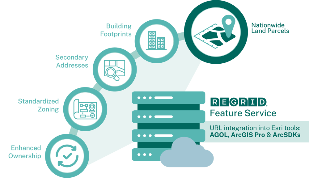
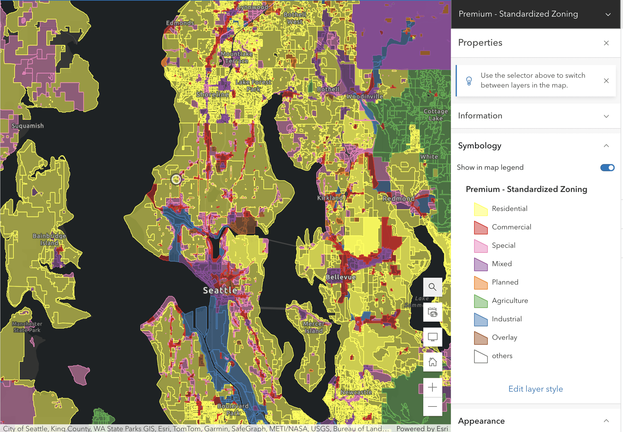
The Regrid Feature Service is the turnkey solution to easily stream Regrid's nationwide land parcel data, building footprints, secondary addresses and standardized zoning right into ArcGIS and other Esri software. Experience the power of the Regrid Feature Service with a personalized walk-through and evaluation.


A Perfect Match For Your Esri Project & Business
Regrid Closely Aligns with Esri to Bring You The Best Land Data & Mapping Solutions
Regrid is proud to partner with Esri on groundbreaking nationwide parcel analytics. Watch this demo and image what parcel data can do for your business and site selection needs.
“Jess Altamira shares how to leverage big data analysis in ArcGIS, enabling you to unlock powerful spatial insights. The national parcel dataset contains a vast amount of data. It can help you uncover valuable spatial patterns in land use, helping you understand where to implement critical national initiatives.”
Esri marks are used herein under license from Esri.
See Why Our Customers Love Getting Regrid Parcel Data via Feature Service
Academia & Research
Michigan Geological Survey
"We are able to process up to 60% of a given county's well data using a MGF-developed ArcPython script which depends on Regrid parcel data & the Esri-compatible Regrid Feature Service. This has dramatically increased our productivity."
Evie Murgia
Project Manager

Software
Datastory
"Regrid data is both high quality data AND in the right format. We appreciated the collaborative nature of working with the Regrid sales team."
Matt Felton
Founder

Environmental
Conservation Fund
"Regrid's Esri-compatible Feature Service have saved us time and money. What used to take 30 minutes to several hours now takes 5 minutes."
Experience The Land Parcel Insight Powered by Regrid’s 3Cs
Coverage: Nationwide & Local Insight
Regrid’s parcel coverage spans across every city, county, and state. Explore the insights waiting for you in every corner of the country, including your own street.
Currency: Always Fresh Land Parcel Data
Get the edge of fresh land data precision. Regrid’s parcel data is continuously refreshed, guaranteeing that you have the latest and most dependable nationwide land parcel data.
Completeness: Parcel Boundaries & More!
Explore comprehensive data on land, ownership, buildings, and other related information. Acquire all the pertinent details on each parcel to enable you to make informed decisions.
Get the 3Cs and more when you complete the form next door.
Go for it!
