.png)


.svg)


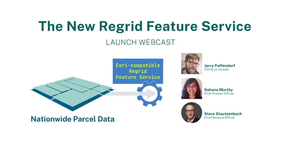
The New Regrid Feature Service

We are back with a big announcement today.
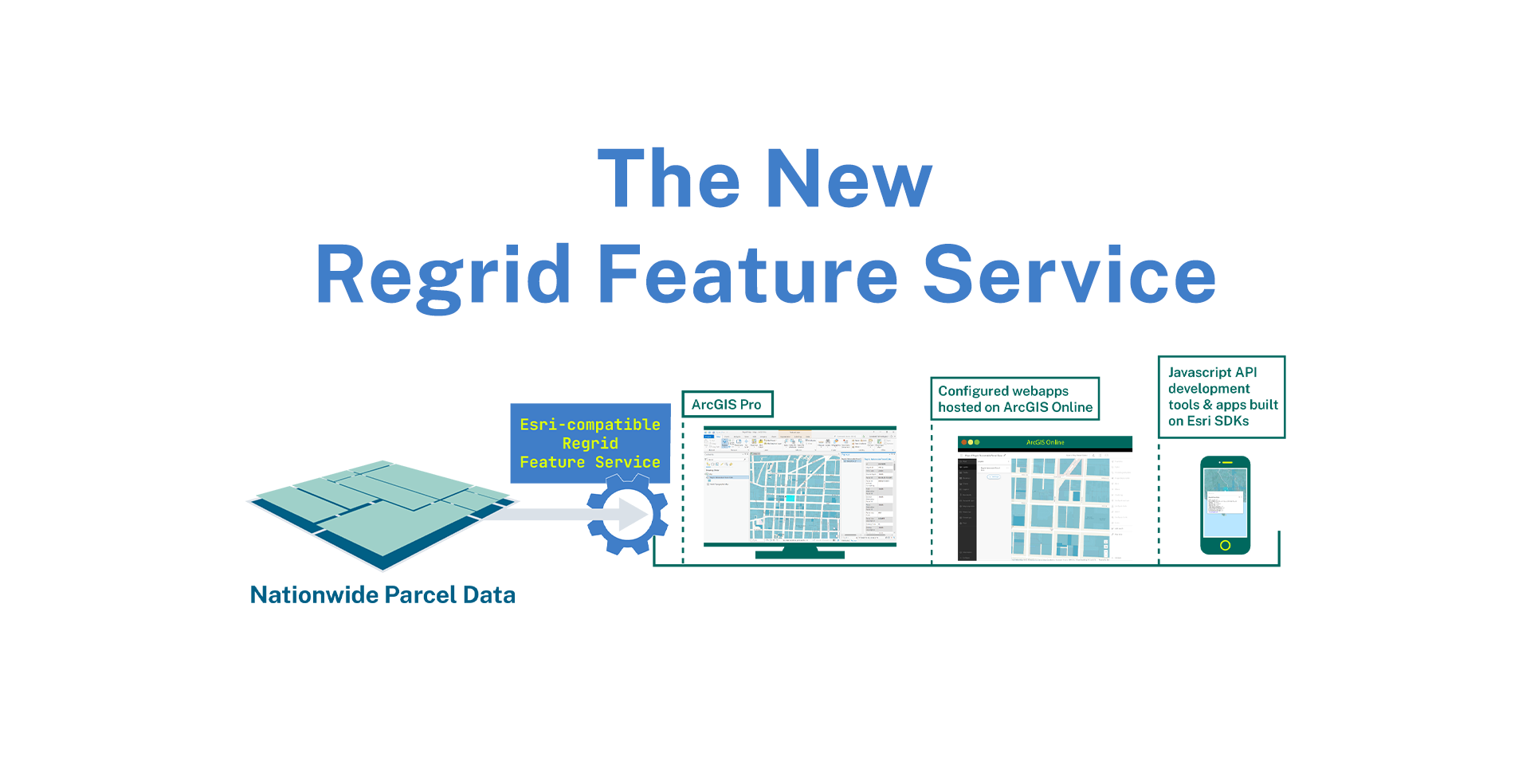
Introducing a new delivery method (in addition to bulk files and API) that delivers our nationwide parcel data directly into your Esri stack - The Regrid Feature Service!
Incorporate Regrid’s Nationwide Parcel Data via our Esri-compatible Feature Service. For enterprises centered on Esri technologies, our Feature Service is compatible with:
- ArcGIS Pro (Desktop software)
- Application configuration tools hosted on ArcGIS Online
- JavaScript API development environments & SDKs
That’s right, it’s as easy as integration with our authenticated URL and you will be on your way working with our data in the Esri tool of your choice.
No custom integration, no data wrangling!
So whether you & your team are working out of the ArcGIS desktop software, or building web apps on their cloud solutions or building apps using a Javascript API or the Esri SDK’s, our feature service has got you covered.
Why use our feature service?
High-quality, standardized nationwide parcel data delivered straight into your Esri environment & brought to you by an authorized Esri partner

No data wrangling , ETL or custom integration required
- Our feature service is an easy-to-use plug and play solution that loads our nationwide parcel data into the Esri tool of your choice. We simply give you an authenticated URL and you integrate that to add our nationwide data layer in a matter of minutes.
- No need to set an ETL workflow, or figure out an update cycle for the data either. Faster time to loading & working with the data in the Esri tool of your choice.
- Eg. Querying by > acreage field for metro Denver or querying by our normalized land use codes for your geography
- This provides you with the flexibility & control you need to derive deeper insights into properties and greater location context and accuracy for your projects.
Smart economics and greater ROI
- Hosted and served by Regrid - Cut your DB and cloud hosting costs with our feature service. No more data storage and server maintenance for Regrid’s parcel data.
- Priced to fit your needs - Our feature service gets you our live data straight into your tools and takes the guesswork out of data usage.

*Please note that the above pricing is per end-user license. There could be incremental costs depending on the use-case, bundles that include multiple delivery methods and usage volume.

To learn more about how to use the feature service and what tools we are compatible with, check out our documentation.
Here’s a quick demonstration of loading and viewing Regrid parcels on ArcGIS Online:

If you want to see our product and team in live action, then catch us at the Esri User Conference 2022 - July 11th-15th , San Diego.
Many members of our team including our CEO, CDO and CRO will be at UC and as an Esri partner, we are exhibiting at UC this year.
If you are also attending or exhibiting, please stop by booth #2228, meet the amazing Regrid team, get a live demo of our feature service and other products.

For the rest of us, who may not be able to enjoy the San Diego surf and sun in July, reach out to our team today to get a sample and discuss your project with us. We might have just the right combination of solutions for you.
![]()
Until next time,
HAPPY SUMMER!
TEAM REGRID
parcels@regrid.com
Join us on Wednesday at 3pm EST for our Launch Webinar!
Click the image below to be notified when we go live.