


.png)


.svg)


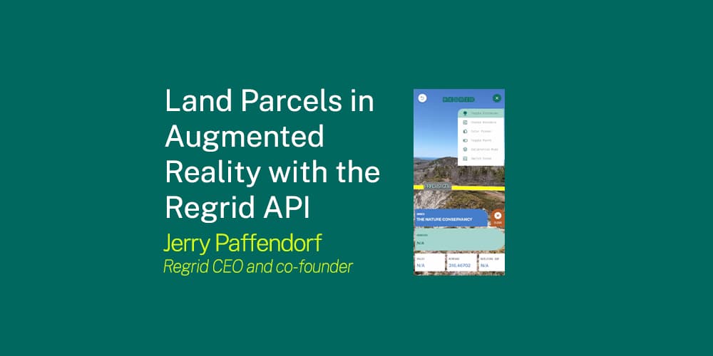
Land Parcels in Augmented Reality with the Regrid API
This week the Regrid team released major updates to our nationwide land parcel API. The API makes it easy to pull spatial records from our dataset of 152+ million land parcels, 183+ million building footprints, and 300+ million secondary addresses covering more than 99% of the US population.
Earlier this year we approached Gravity Jack — a leading Augmented Reality studio — with a question:
"Would it be possible to use the Regrid API to visualize nationwide land parcel boundaries and information in Augmented Reality?"
The answer, we learned, is an emphatic yes. Here's a video of the demo app we produced together, using the Regrid API to overlay property boundaries and information on the physical world:
(Note the music in this video is by Regrid's CTO, Larry Sheradon, from his album, Sugar Pine.)
With this prototype, we didn’t set out to create a fully polished parcel AR product. Rather we wanted to learn how it works, prove the concept, and invite others to use the Regrid API in their own AR apps for visualization and/or geofencing.
Here’s a list of what we were able to demonstrate in a very short period of time:
- Regrid’s API can easily fetch and project property boundaries and information in AR anywhere in the country
- Property characteristics like ownership, value, land use, zoning, etc, can be displayed and interacted with
- 2D property lines can be extruded and styled in 2 and 3 dimensions
- Sizes and distance measurements can be overlaid on the scene
- Colors and transparencies can be adjusted
- Content can be changed by moving into or out of a parcel boundary
- Parcel positioning can be manually tweaked to change elevation and orientation
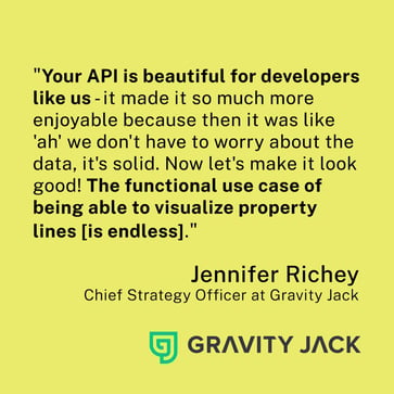
We had a blast working on this with the Gravity Jack team, and they did, too. On using the Regrid API to develop the AR app, Gravity Jack’s Chief Strategy Officer, Jennifer Richey remarked:
Of course there are things we didn’t get to in this first technology preview that we’d like to see taken further:
- The demo app loads one parcel at a time – it would be great to see many parcels, or have boundaries dynamically change as you move down the street or fly overhead
- The demo doesn’t have occlusion – the entire boundary sits on top of the scene without disappearing behind closer objects
- The parcel positioning was accomplished using only GPS without any kind of Visual Positioning System – the boundaries can float around by 5 to 10’ or so depending on the strength of your GPS signal
The great news is that showing multiple boundaries through the API at the same time is not an issue, and the occlusion and precision placement challenges are being worked on by AR platforms and SDKs so they will be faster to implement.
Land Parcels for AR Geofencing:
One of the things that stood out to us while making this is that parcel boundaries are a perfect dataset for geofencing certain kinds of AR content, even when there’s no need to visualize the lot lines in the app.
Because the data contains information about exactly where a parcel begins and ends, and whether a parcel is public, private, residential, etc, app developers can choose to show or not show content in a location based on this information.
Parcels can solve the problem faced by some world-scale AR apps where public content is generated on someone’s house or private property. Not fun for the user, the homeowner, or the app developer who fields the complaints!
We plan to continue exploring AR and VR applications for land parcel data, and invite anyone making AR and VR apps who would like to evaluate the data for use in their apps to reach out to us at parcels@regrid.com.
Further Viewing & Reading:
Here’s a long-form conversation I had with Gravity Jack’s Chief Strategy Officer, Jennifer Richey, about her thoughts on the AR and VR space, the evolution of Gravity Jack, and this project that we worked on together:
Regrid’s nationwide coverage map with links to the data schema and documentation: regrid.com/store
Regrid’s API: regrid.com/api
