Regrid logo, registered trademark
  • Enterprise Solutions

    Regrid parcel data Regrid Parcel Data

    Bulk files delivered in the format your business needs.

    • parcel -data Nationwide Parcel Data
    • matched building footprints menu icon Matched Building Footprints
    • matched secondary addresses menu icon Matched Secondary Addresses
    • enhanced ownership menu icon Enhanced Ownership

    feature service menu icon Regrid Feature Service

    Get data delivery straight into your Esri-stack, no custom integration required.

    regrid api menu icon Regrid API

    Integrate parcel boundaries & records into your app, SaaS, or map.
    • Parcel and Tiles APIcon Parcel & Tiles API
    • typeahead api icon Typeahead API
  • Self Serve Options

    Regrid Property App menu icon Regrid Property App

    Take Regrid property data wherever you go - available for web, iOS, & Android.

    data-store-2 Shop the Data Store

    Instantly download parcel geometries & associated records, by county and state.

    self-serve parcel api menu icon API Monthly Subscriptions

    Sign up and try this nationwide parcel API, free for 7 days.

    api sandbox icon Interactive API Sandbox

    Explore the API Sandbox with complete feature access to 7 counties plus Puerto Rico.
  • Markets

    Regrid for Broadband Market Broadband

    Regrid for data science Data Science

    Esri environments Esri Users

    Parcel data for green initiatives Sustainable Initiatives

    Parcel data for real estate Real Estate

    Parcel data for nonprofit and academia Nonprofit & Academia

    Regrid's Data With Purpose program - propose your own budget to access land parcel data. 

    Plus sign icon Your Business or Organization

    Regrid’s data spans all industries needing land insight.
  • Resources

    support menu icon Support

    Access documentation & support materials to learn about Regrid data.
    • Support site resource icon Support Site
    • tutorial videos resources icon Tutorial Videos
    • parcel data faqs resources icon Parcel Data FAQs
    • property app faqs Property App FAQs
    • coveragemap_resources_icon Coverage Map
    • land use codes menu item Land Use Codes
    • vacancy data menu icon Vacancy Data

    content resources menu icon Content

    Dive into Regrid's world of land parcels & learn about location intelligence.
    • blog resources icon Blog
    • webcasts resources icon Webcasts
    • reports resources icon Reports
    • podcast resources icon Living In The Map

    customers resources icon Customers

    Hear what our customers say have to say & see how they use Regrid data.
    • testimonials resources icon Testimonials
    • Case Studies resources icon Case Studies
  • Contact Us

    Contact a parcel data expert menu icon Contact A Parcel Data Expert

    Contact Regrid parcel data experts to learn more about our offerings.

    Customer Support menu icon Customer Support

    Contact our customer support team & get the help you need.

    megamenu nav image Press & Media Inquires

    Find the information you need & get in touch with our marketing department.
  • Go To Map
Go To Map
  • Enterprise Solutions

    Regrid Parcel Data

    • Nationwide Parcel Data
    • Matched Building Footprints
    • Matched Secondary Addresses
    • Enhanced Ownership

    Regrid Feature Service

    Regrid API

    • Parcel & Tiles API
    • Typeahead API
  • Self Serve Options

    Regrid Property App

    Shop the Data Store

    API Monthly Subscriptions

    Interactive API Sandbox

  • Markets

    Broadband

    Data Science

    Esri Users

    Sustainable Initiatives

    Real Estate

    Nonprofit & Academia

    Your Business or Organization

  • Resources

    Support

    • Support Site
    • Tutorial Videos
    • Parcel Data FAQs
    • Property App FAQs
    • Coverage Map
    • Land Use Codes
    • Vacancy Data

    Content

    • Blog
    • Webcasts
    • Reports
    • Living In The Map

    Customers

    • Testimonials
    • Case Studies
  • Contact Us

    Contact A Parcel Data Expert

    Customer Support

    Press & Media Inquires

  • Go To Map

The Regrid Blog

Discover the Latest in Land Parcels & Spatial Data with the Regrid Team!

Regrid Blog

Living In The Map

Categories

  • Announcements
  • Democratizing Data
  • Regrid Updates
  • Parcel Data Updates
  • Product How-To
  • Use Cases
  • Customer & Guest Blogs
  • All About Parcel Data
  • Working at Regrid
Regrid makes Geoawesomeness's 'Global Top 100 Geospatial Companies' press release

Regrid Makes Geoawesomeness's 'Top 100 Geospatial Companies - 2022'

Meg Oppenheim February 1, 2022
This week Geoawesomeness announced the 2022 edition of the Global Top 100 Geospatial Companies - and we are excited to announce that Regrid made the list.

Geoawesomeness-Global-Top-Geo-2022-1536x864


As a provider of nationwide parcel data, we’re honored for this opportunity & recognition and would love to extend a large thank you to the panel of judges that made this decision. 


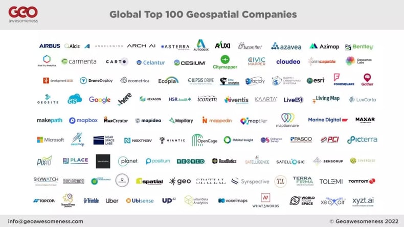
The full list of the Global Top 100 Geospatial Companies can be found here. We are proud to be counted amongst such an august company. The list is a source of information about companies that are utilizing geospatial data and tools to solve problems.

#GlobalTop100Geo was created six years ago by Geoawesomeness founders Muthukumar Kumar and Aleksander Buczkowski. Their goal is to help the geospatial community get a better understanding of the industry and to inspire collaboration.

Being a part of the list is a testament to our hard work & incredible products, our passionate & empathetic team, and our constant need to find better solutions to real problems. We continue to make our data even more robust by developing enhanced location context products -  parcels + matched building footprints, and our latest product, parcels + matched secondary addresses. 


Land literally underlies everything in the world, but standardized, high-quality land & parcel data information at scale can be hard to come by and even harder to work with. We create and maintain a nationwide land parcel database (more than 152 million parcels) covering more than 99% of the United States population. 


For the Regrid team, making this list will fuel our motivation to continue the work we have been doing and achieve even more in the upcoming year. We will continue to build compelling geospatial solutions, solve real problems and grow the geospatial industry further.


Have questions? Want to evaluate our dataset? Get in touch with our team at parcels@regrid.com. 


Learn more about our Nationwide Parcel Data, our schema, pricing and coverage here.

About Regrid

Regrid is an industry-leading property data and location intelligence company. We serve an array of industries that require land parcels and spatial data at scale, including real estate, insurance, energy, infrastructure, agriculture, logistics, and government.


Previous Next
logo

(888) 4RE-GRID

  • Contact Us
  • Customer Support
  • Privacy Policy
  • Terms of Use

Subscribe for email updates

Company

  • About Regrid
  • Careers
  • Press

Resources

  • Coverage Map
  • Support Center
  • Reports

Support

  • Parcel Data FAQs
  • Property App FAQs
  • Contact Support Team

Customers

  • Customer Stories
  • Case Studies
  • Non Profit & Academia

Enterprise Solutions

  • Nationwide Land Parcels
  • Parcel & Tiles API
  • Feature Service

Self-Serve Solutions

  • Regrid Property App
  • Shop the Data Store
  • API Monthly Plans