


.png)


.svg)


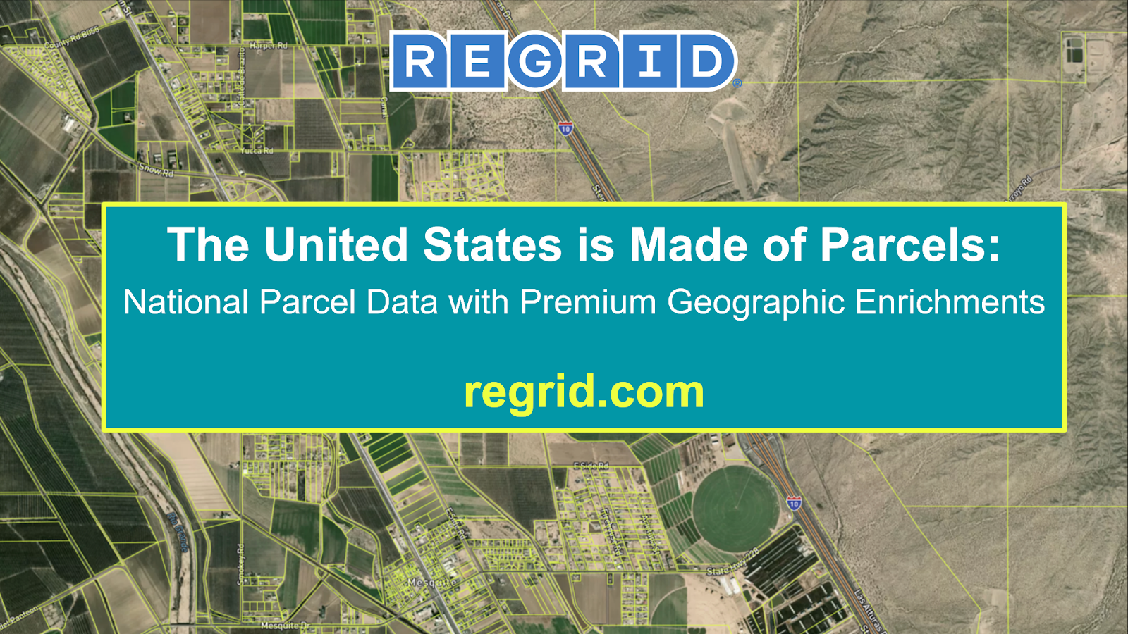
The United States is Made of Parcels | Lightning talk with Jerry
Transcript + slides from Regrid CEO, Jerry Paffendorf’s Lightning Talk "The United States is Made of Parcels" at the 2025 Esri Federal GIS Conference.
Good morning. Is it morning? The time between 11 and 12. We can call it morning.
So, Lightning Talk, y’all ready to get zapped? All right. Zap! I'm Jerry Paffendorf, a co-founder of Regrid. We're obsessed about parcel data — that's property boundaries and all the kinds of things you can know about property boundaries: the owner, the land use, the zoning, the buildings, the addresses, all the geographic components tied back to that property information.
We are Esri's commercial partner for parcel data.
We like to think about parcel data as this fusion of all the things you can know about a property — its spatial component with the boundary, all the real estate, all the property tax assessment kind of stuff you think about in the property world, but bringing that together with all the things that you can know about geography. Esri, of course, is the world leader in geography, digital geography. So bringing insights about the terrain and demographics and the endless variety of geographic insights.
I love talking about this stuff, but I have to confess that when I was trying to think about the focus of this talk for this event, it was a little more difficult than usual because I was trying to think — I was like, what is the mood gonna be like at the FedGIS Conference 2025? Because there's a lot that we're figuring out and navigating as a country. There's a lot of uncertainty. There's a lot of concern, and at the same time, I think there's a lot of ambition and a lot of fire to ask how do I get more efficient? How do I do something better than before? How do I get clear about the mission of my organization? How do I communicate it to people so they trust me, because I'm worthy of trust, but maybe I need to show that in some new way? And so I wanna talk a little bit more about the meaning of parcels, like what they mean to the country, and how that meaning kind of flows into the work that we all do with GIS and geography and making location decisions.

So I chose "The United States is Made of Parcels." I like this picture of parcels right here. I think it helps show how parcels are the underlying framework of the United States because there's actually a lot going on in this very diverse kind of kaleidoscope, broken windshield of how land has been subdivided and used here. First, we're looking at the desert, right? This is kind of like a traditionally inhospitable environment, and if you look over on the right side of this image, these very big square parcels. These come out of the original kind of colonial Public Land Survey System.
The U.S. actually engaged in this insane project starting in the 1790s to cover the entire continent in a square-mile grid system.
It's kind of a wild idea, proposed by Thomas Jefferson. It was like, OK, so there's all this land out there. How are we gonna organize it so we can snap it together into towns and counties and states and then subdivide it into private property? And so there's literally this square-mile grid that covers everything. Then here we see a situation where we're like, oh, we need a highway, and this highway was kind of forced through this parcel system right here. And then here's the Rio Grande River, and you can see the built infrastructure to bring water to these areas has led to this really weird concoction of arable land, farmable land, and residential housing. Each one of these things has an owner, a permission system, everything else associated with it.
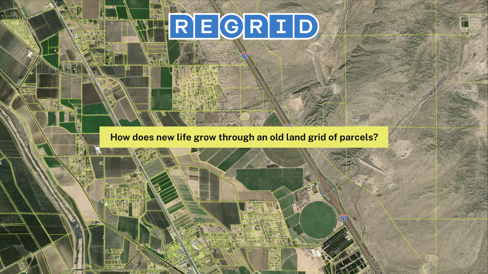
The framework of the United States, it really is built on an underlying parcel system that organizes government and private property.
So I think a lot about — how does new life grow through an old land grid of parcels? The U.S. still feels fairly new on the world scene, but it's also the world's longest-running democracy, and frankly, we've gone through a number of economic and technological transitions over time where we sort of find ourselves asking this question — how do we push new life through an old grid? We have laid out cities this way. We've laid out infrastructure this way.
We started our business in Detroit. I'll use Detroit as an example. This is a city that originally existed in a very strategic geographic location on the Great Lakes water system, with navigable waterways. It was a very resource-rich and convenient place from which to produce cars, automotive, manufacturing. And if you look at Detroit today, it's kind of outlasted its original geographic purpose for being, and so it struggles with this idea of — what do we need next on this land grid?
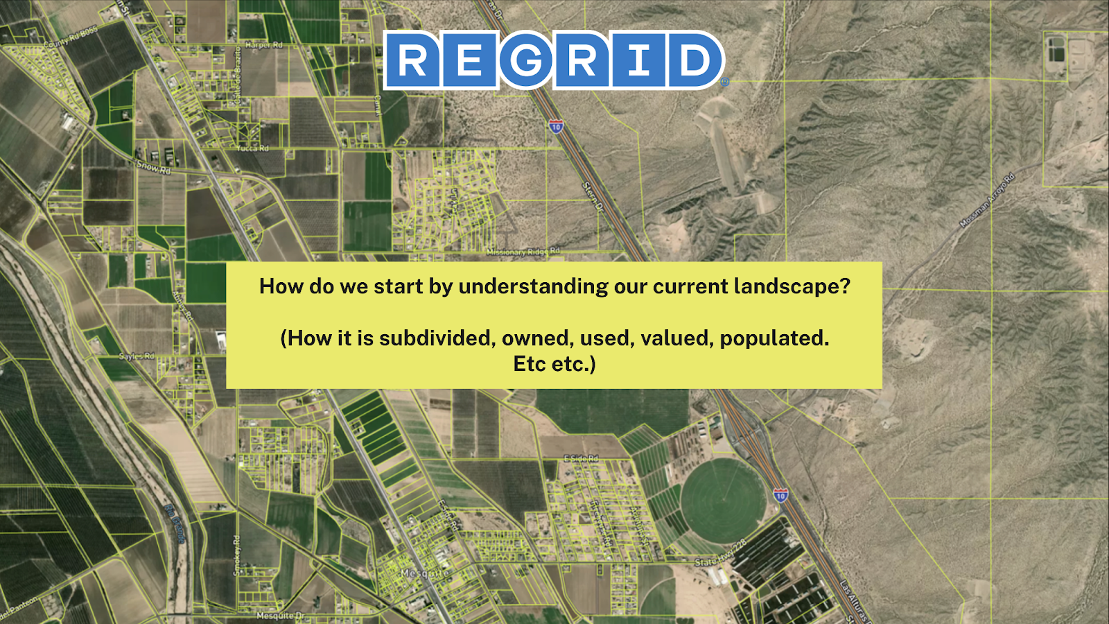
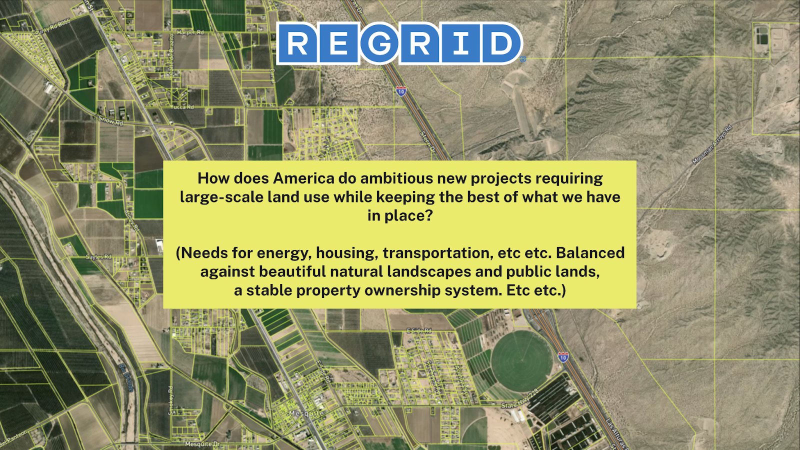
So keeping with these questions, I think this relates to the various kinds of work that we all do. These are big questions: How do we start by understanding our current landscape? How is our country subdivided, owned, used, valued, populated? How does America do ambitious new projects that require large-scale land use while keeping the best of what we have in place? So some of the needs – needs for new kinds of energy, how are we gonna do energy differently? How are we gonna get it to places? How are we actually gonna move that energy across privately owned parcels of land? How are we gonna build the new housing that we need, right? If we have a shortage of housing in the country, how are we actually gonna think about more massive scale construction? What are we gonna do with transportation? You know, we've been on the, I'll use the term struggle bus because I guess it kind of fits with transportation here too, but how are we gonna move people over great distances that require cutting through privately owned lands and around them? How do we balance all that against the beautiful natural landscapes that we have, and a very stable property ownership system that underlies it?
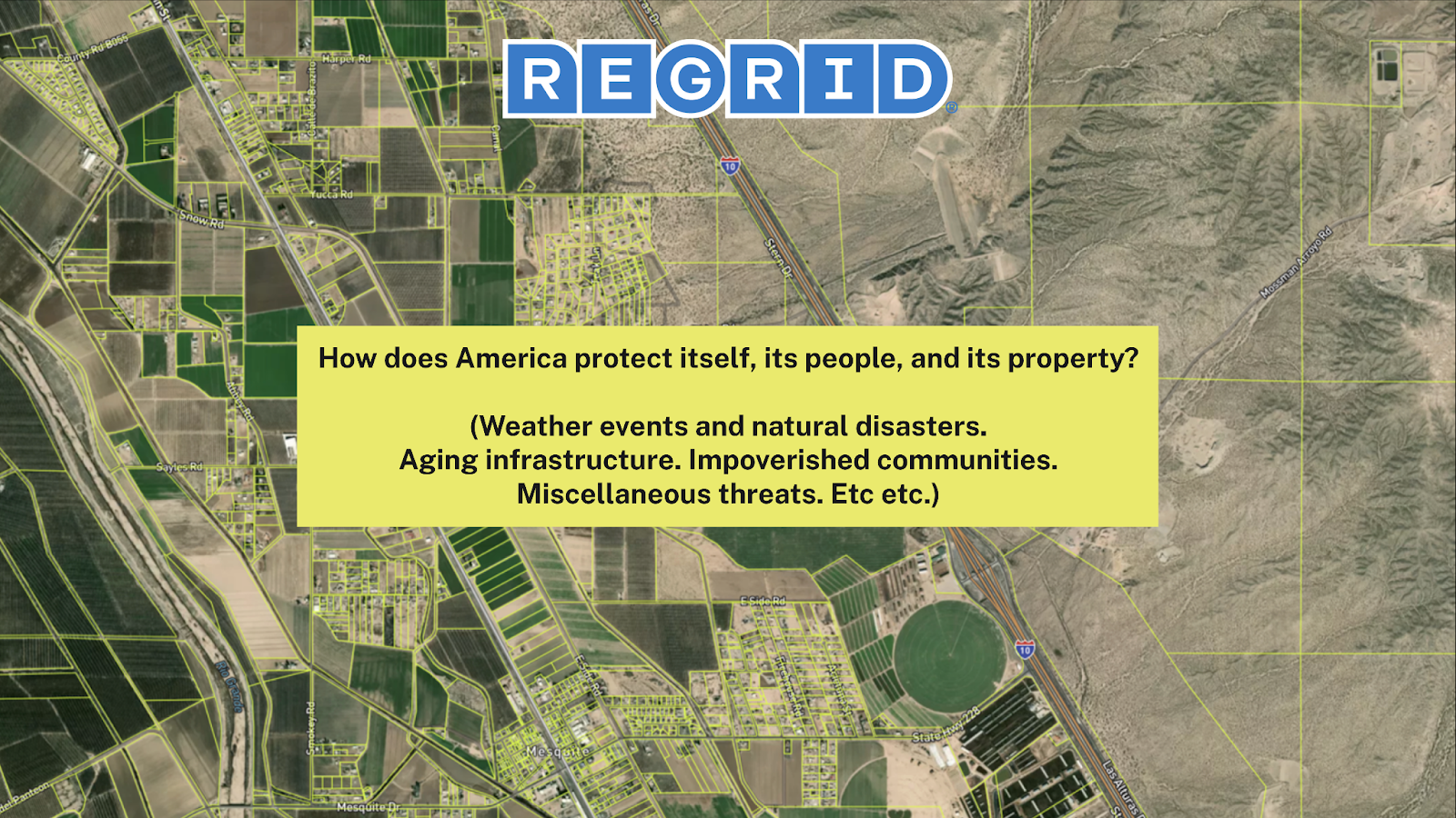
How does America protect itself, its people, and its property?
So, you know, I think we all have an increasing awareness – talk about why it's happening or if it's coincidence or whatever else – but there are a lot of weather events and natural disasters that people are understanding are real. They don't seem like they're gonna reduce in frequency. They have impacts and costs to rebuild. They have impacts on insurance. We've got fires on the west coast. We've got hurricanes and flooding in parts of the country. So how do we prepare? How do we deal with our aging infrastructure? How do we work with more impoverished communities and the miscellaneous threats that face the country?
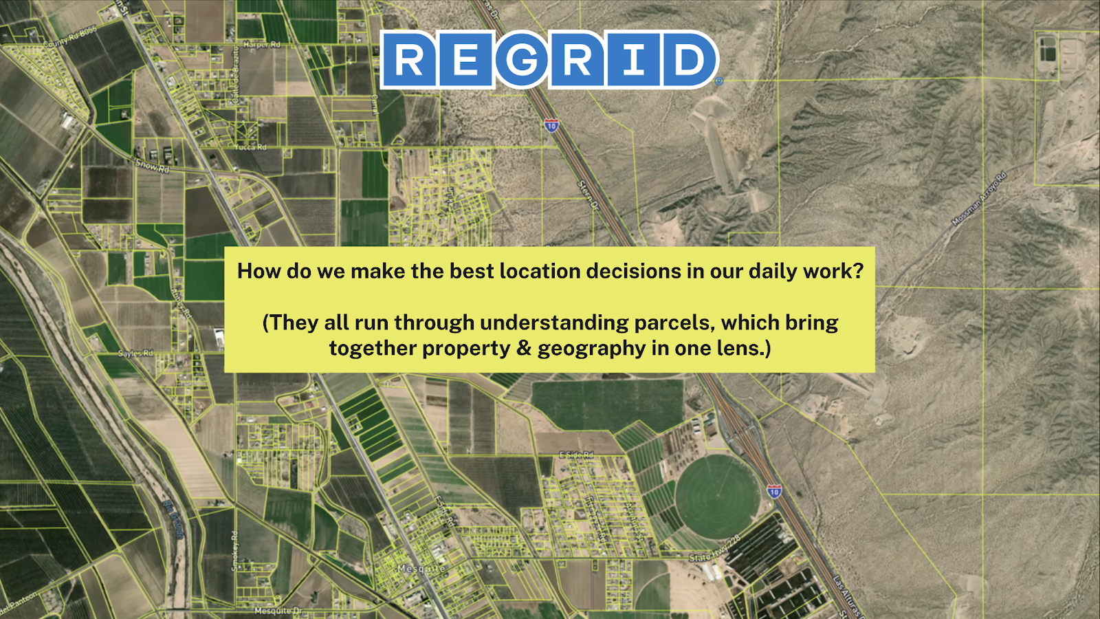
And how do we make the best location decisions in our daily work?
Kind of bringing this down to earth, I put forward that the parcel perspective of the country is absolutely necessary to know and know well for each of these activities. Because you can know a lot about geography, but until you know how the land is subdivided, owned, and used — who's responsible for it — you actually can't take action in the landscape.
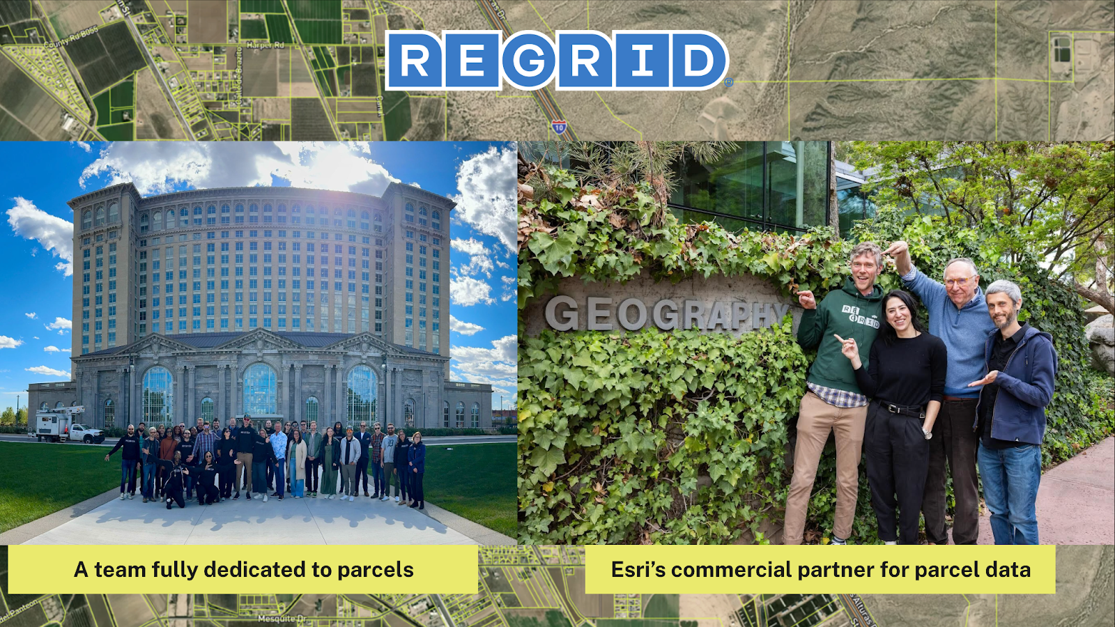
So there's the Regrid team on the left. The team is fully dedicated to parcels. This is us in front of Michigan Central Station in Detroit. I don't know if we have any people who are familiar with Detroit here, but this was a huge renovation success story. This was vacant since the '80s. It just reopened last year, renovated by Ford, and Detroit was really the inspiration for our team. There were so many challenges in the landscape that we saw clearly. Like, if you don't know parcels in Detroit, it doesn't matter if you're the mayor, a real estate company, or a block club — you need to know who owns that vacant house. You need to know who owns that vacant land. You need to keep your house out of tax foreclosure or property foreclosure. And so we saw firsthand how necessary parcels are for a community to move forward on every level.
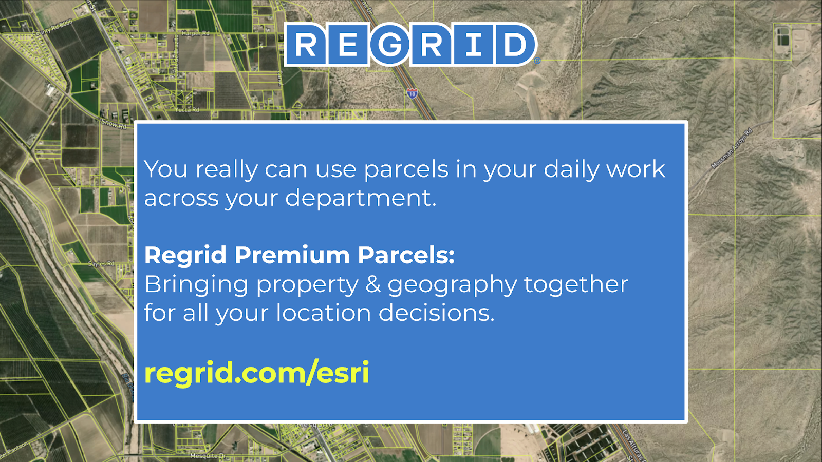
And yes, we are Esri's commercial partner for parcel data, which we're really proud of. We've got a number of collaborations with Esri. Our data is in the Living Atlas, our parcel boundaries are in the Living Atlas, and we've been producing a number of collaborative datasets together — geographic enrichments to parcels.
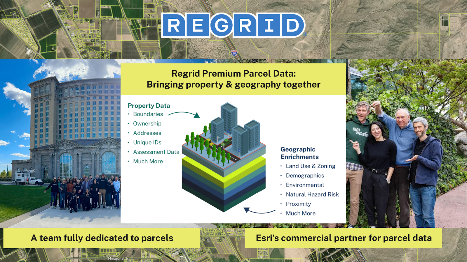
So again, this concept and what we're working on with Esri is: you've got sort of the world of property data — your boundaries, your ownership, your assessments, all these things related to real estate — and then merging with all these things that I'll call a part of the wider world of geography, which have unfortunately been separated. So your demographics, your environment, your natural risk, your proximity to things — the whole world of things that you'll find on the Living Atlas — that relate to space but have been sort of artificially divorced from property is what we try to bring together at the parcel level.
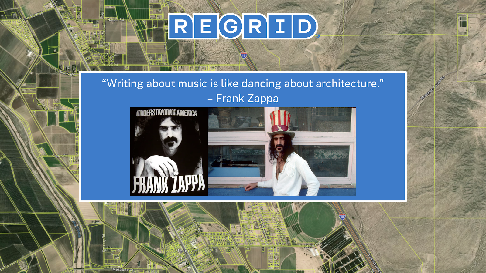
The great American philosopher, Frank Zappa, said, "Writing about music is like dancing about architecture," and so I feel like I've been talking too much about parcels without, you know, revealing that part of our job is to make this frictionless.
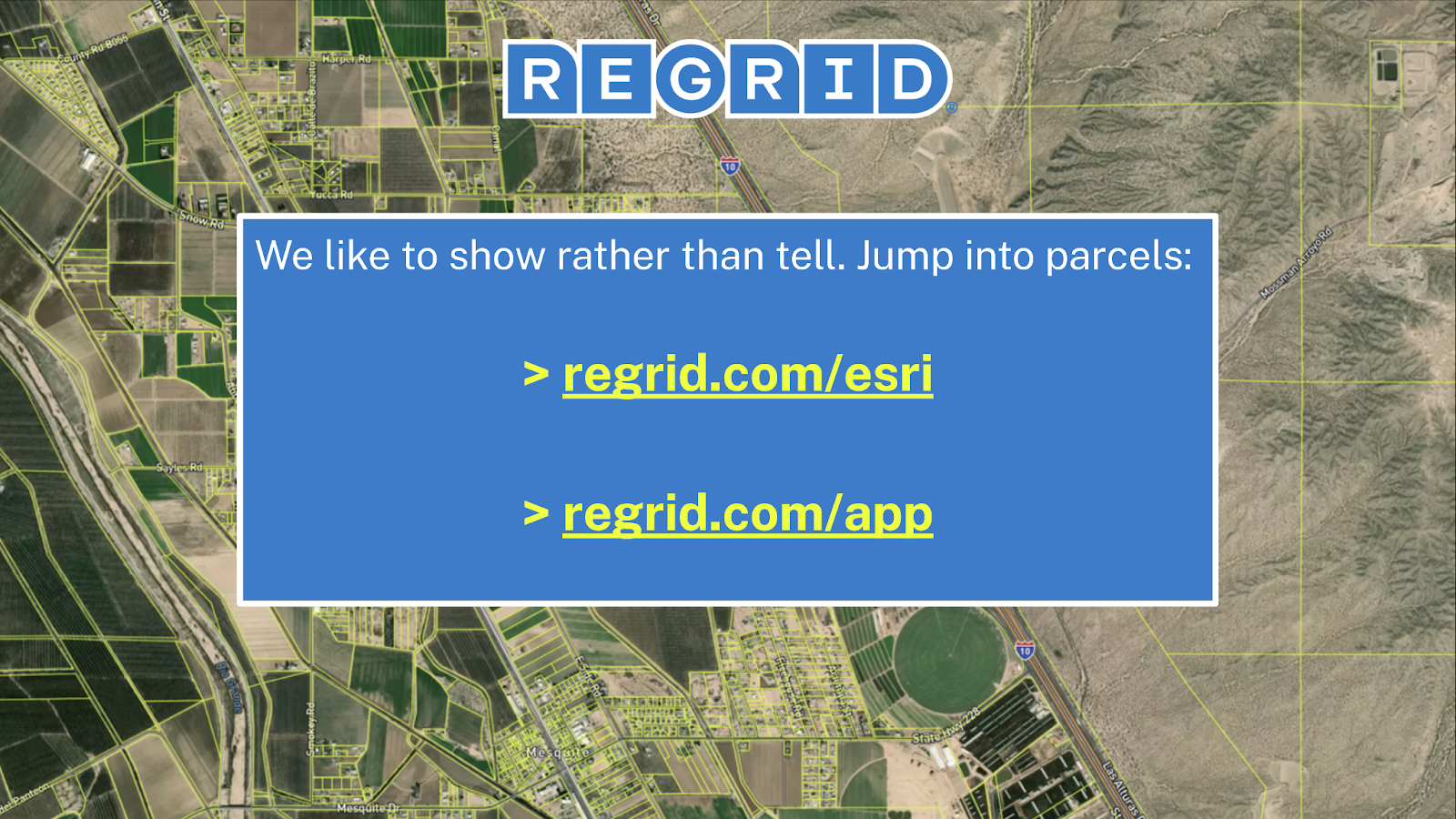
I know sometimes people are like, "Oh, somebody has a dataset? It's annoying as hell to try to use it. They're gonna want to sell me a bunch of stuff, and there's gonna be a whole bunch of things to do before I can get it." But I do want to tell you that at regrid.com/esri, there's a link—you can start using parcels right away through a tile layer in the Living Atlas. This can go right into ArcGIS and Esri products. And then we also have a number of ways that we flow this data into software. We have a feature service that has a whole bunch of attributes that we deliver to you.
But there's a frictionless way to start — free and frictionless in the Living Atlas. And then we also have a very user-friendly app which is free to start using.
If you go to regrid.com/app, you’ll find a mobile app and a web app, and you can just kind of start jumping right into using parcel data.
Land parcels are deep and fascinating. Again, I think that you can make a very valid case that America is constructed of parcels, and without knowing the parcel perspective, you really don't know what to do next as a nation. Because we are comprised of all these cells that are owned by individual people, that have land uses, that have opportunities to them. And what I noticed is that some of the things that hold back ambitious new projects and just knowledge of what can be done is — if you don't know what that landscape looks like, you really can't make a decision. You can't plan for a decision.
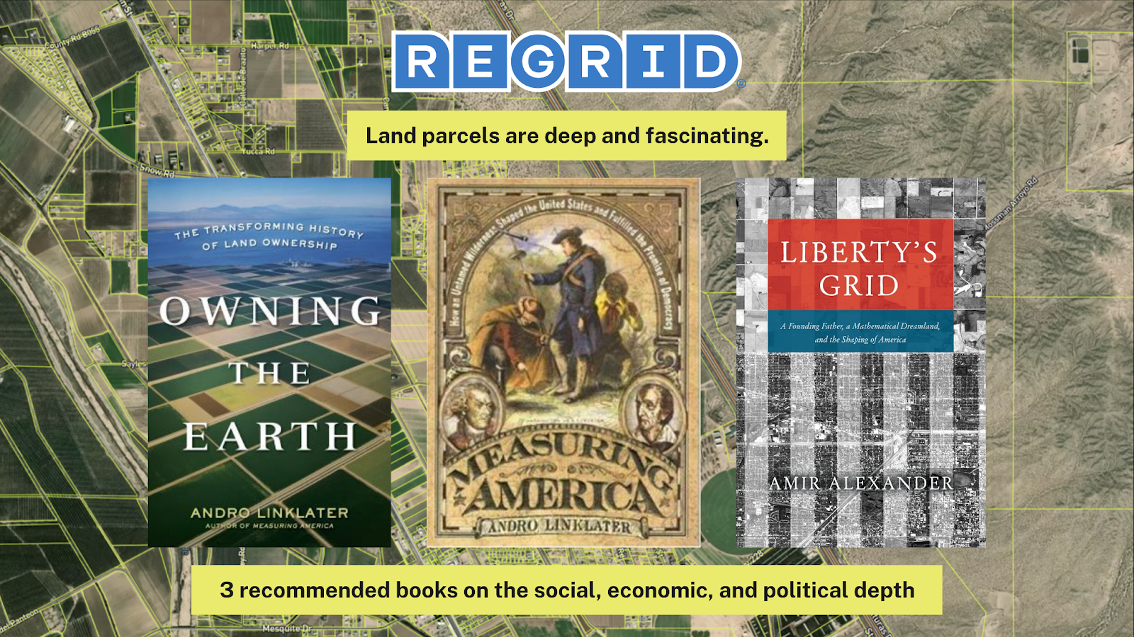
I'll leave you with some reading resources.
I know what people love—you love buying 400-page books and focusing on reading them. But I do want to share these because I think this is sort of an untold story that I like to help promote. Two of these books are by the same author: Owning the Earth and Measuring America. Both by a very interesting—I’ll go ahead and call him a "parcel historian" – Andro Linklater.
Owning the Earth is the story of how human beings have endeavored to possess land on the planet over time. It gives a multi-thousand-year history of different regimes — from social ownership and communal ownership, and this land is owned by God and this land is owned by the state — to the form that we have in the United States, which is the privately owned parcel. And it tells a beautiful story about the different things that happen and the benefits and trade-offs when land is endeavored to be possessed.
Measuring America is an amazing story of the founding of the United States and the decisions that were made about how we would survey and possess land. When I mentioned the Public Land Survey System earlier, this is kind of the story of 13 colonies on the eastern seaboard saying, "there's a bunch of stuff out that way and I think we want to live in it, but I don't know what it is and I don't know how to do it." And so Thomas Jefferson's plan was to go out there and literally drag chains and survey square-mile grids that kind of became an ice cube tray that received the flash mob of early Americans who settled within it and had a legible framework. And the story is just phenomenal because it’s how our government representation snapped together as well as the parcels that we all live on with our homes. And it's a beautifully told story.
The last one over here, Liberty's Grid, is also a telling of that. And I was excited to see this. This one came out just last year, so it’s kind of a different, kind of fresher in some ways, kind of telling of the story.
Hopefully, it's clear from my talk that Regrid is excited about what we do. I feel like our job, you know, we're a business, but our job is to deploy this data to people who can use it to make the best location decisions possible. And that means we endeavor to be as frictionless as possible, as present as possible, and as excited as possible about the work.
To learn more about our work with Esri and see our Premium Parcels in action visit regrid.com/esri.
