


.svg)


Latest Blog Post
Parcel data update | May 2026
on May 11, 2026
 Premium Parcels
 Content
A detailed list of updates in February and a preview of the upcoming counties in our pipeline is below. Read More
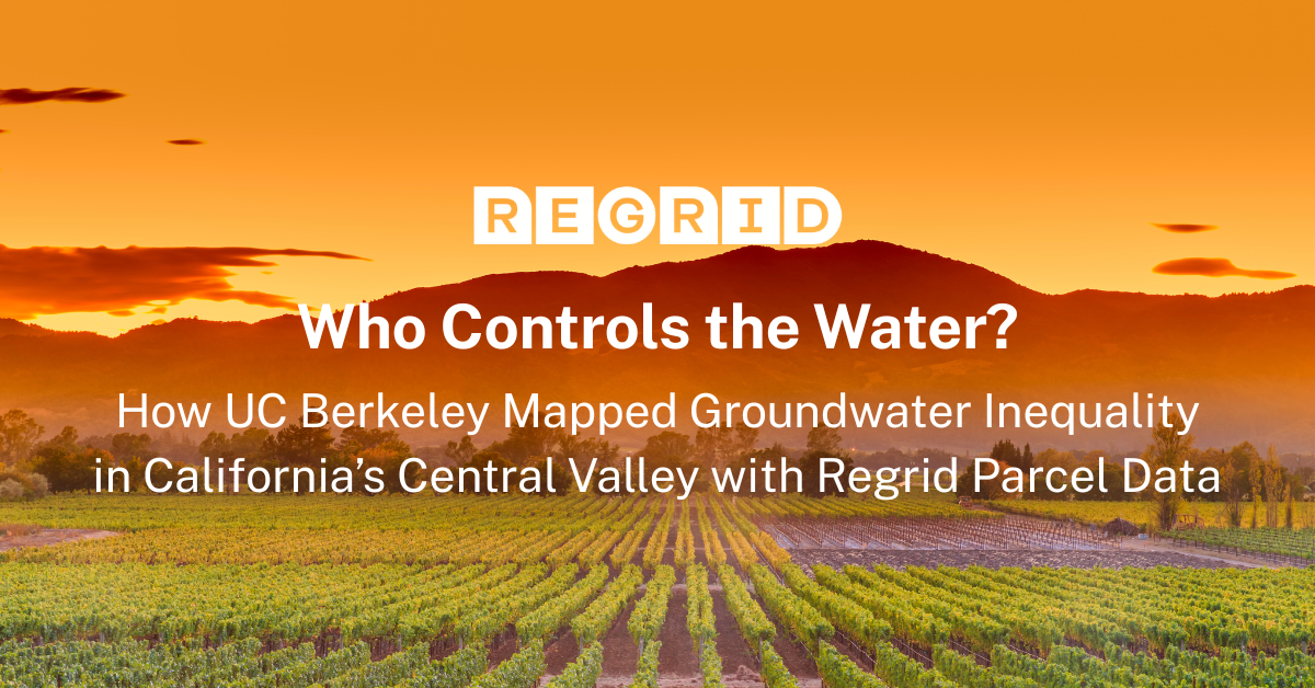
How UC Berkeley Mapped Groundwater Inequality with Regrid Parcel Data Access to land and access to water have always been intertwined in California’s... Read More
How the Trust for Public Land used Regrid to build the first parcel-level climate investment tool In the race to address climate change, land is one... Read More

A detailed list of updates in January and a preview of the upcoming counties in our pipeline is below. Read More
A detailed list of updates in December and a preview of the upcoming counties in our pipeline is below. Read More
-1.png)
As we wrap up 2025, we want to thank you for being part of our journey. Your support and engagement mean the world to us, and we’re excited to... Read More
How Farms Under Threat 2040 Uses Parcel Data to Show What’s at Stake By 2040, millions of acres of America’s farmland could be lost—not to disaster,... Read More
A detailed list of updates in November and a preview of the upcoming counties in our pipeline is below. Read More
