


.svg)


Latest Blog Post
Parcel data update | July 2026
on July 6, 2026
 Premium parcels
.png) AI and ML tools
AI and ML tools
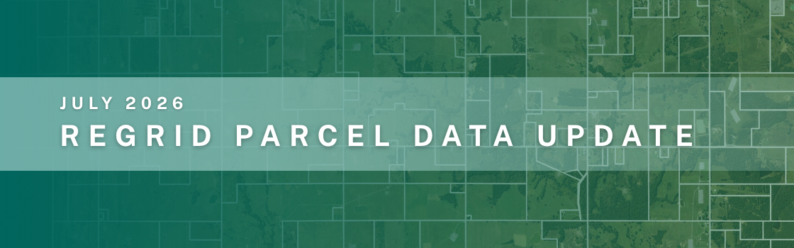
A detailed list of updates in July and a preview of the upcoming counties in our pipeline is below. Read More
-1.png)
Members of the Regrid team with Esri cofounder and President, Jack Dangermond. This year, 19 Regrid teammates piled into a rainbow-painted van and... Read More

.png)
Click here to read the full Press Release announcements: Regrid and Overture Maps Foundation Connect Parcels and POIs with GERS ID Integration ... Read More
A detailed list of updates in June and a preview of the upcoming counties in our pipeline is below. Read More

We just got home from theRegridSummit in Detroit, so of course I’m excited to share some photos and highlights! Read More
A detailed list of updates in May and a preview of the upcoming counties in our pipeline is below. Read More
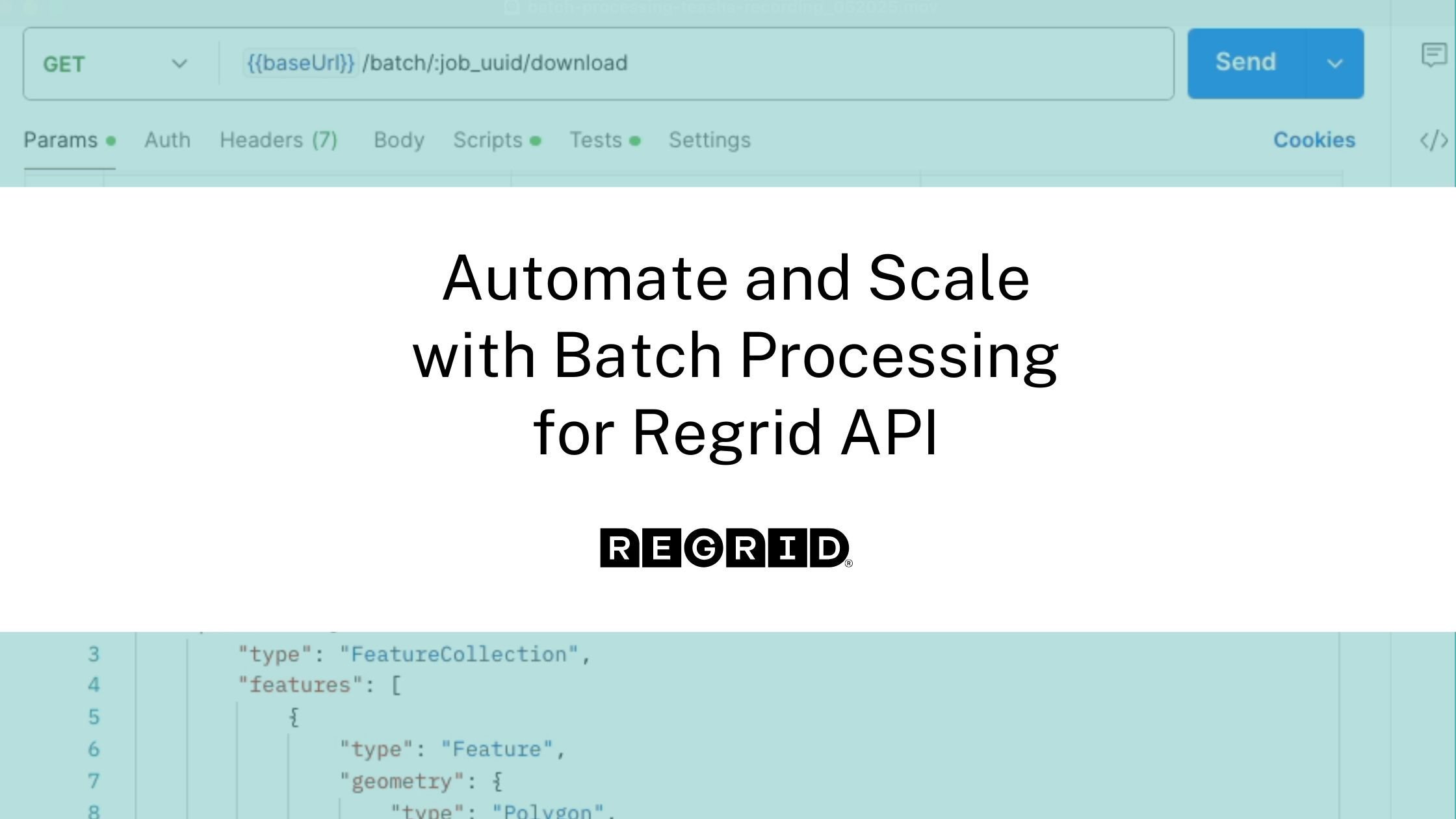
If you’ve ever struggled to enrich thousands of coordinates with accurate parcel data, you’re not alone. Many organizations rely on manual geospatial... Read More
A detailed list of updates in April and a preview of the upcoming counties in our pipeline is below. Read More
In the evolving landscape of land use, infrastructure development, and clean energy deployment, one critical piece of the spatial puzzle has remained... Read More
.jpg)
You’ve heard a lot from us recently about our interest in expanding the definition of parcel data.Much of our recent work on that front has been, in... Read More
