


.svg)


Latest Blog Post
Five years running: Regrid returns to the Geoawesome 100
on July 28, 2026
 Premium parcels
.png) AI and ML tools
AI and ML tools
 Delivery methods

In the evolving landscape of land use, infrastructure development, and clean energy deployment, one critical piece of the spatial puzzle has remained... Read More
.jpg)
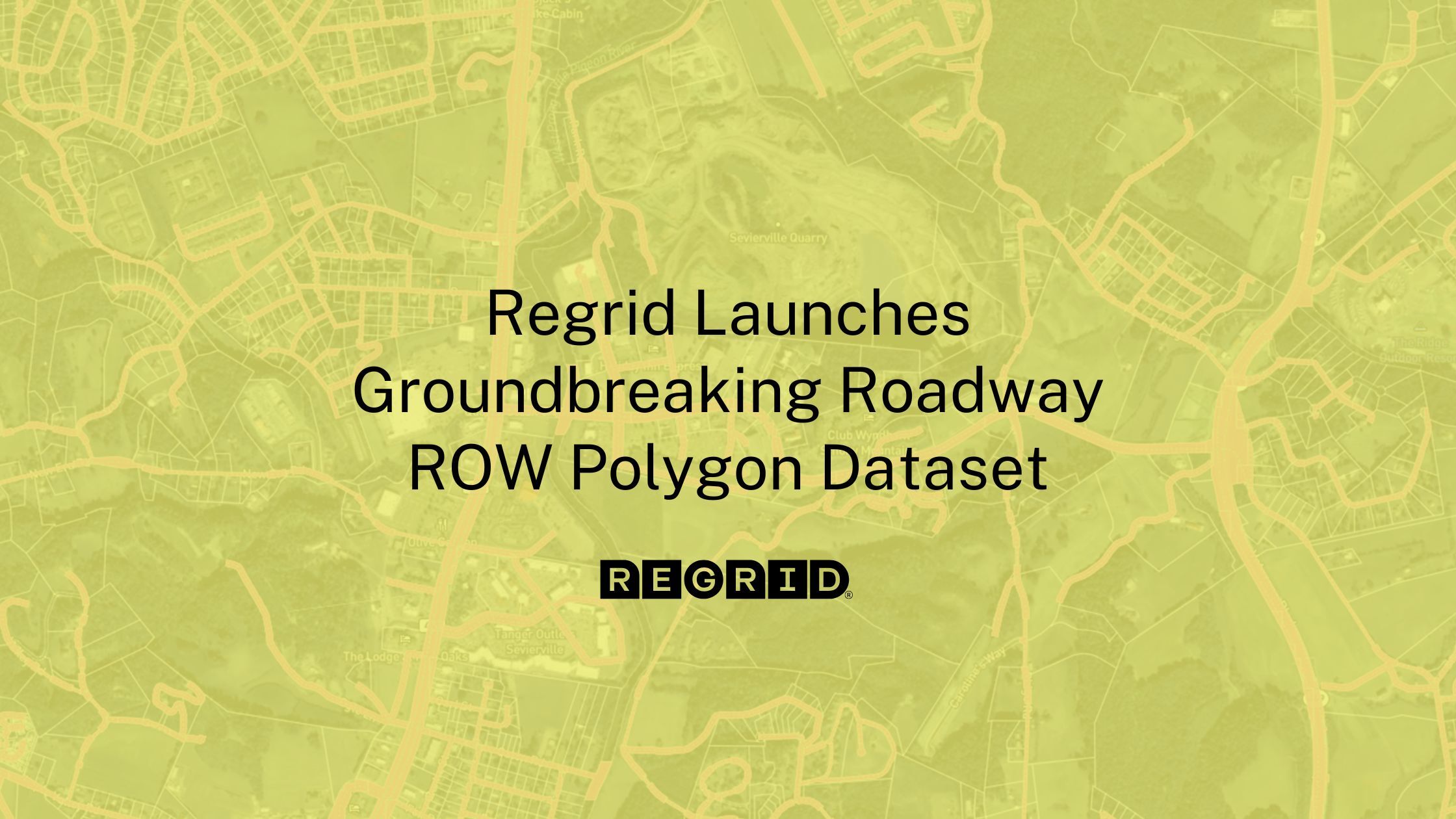
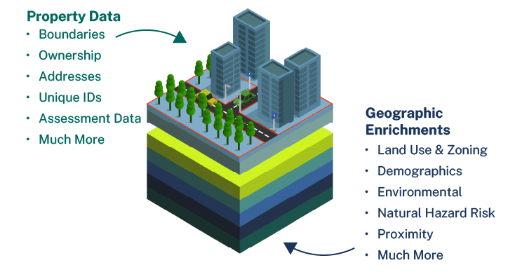
You’ve heard a lot from us recently about our interest in expanding the definition of parcel data.Much of our recent work on that front has been, in... Read More
A detail of updates in March and a preview of the upcoming counties in our pipeline is below. Read More

In May 2025, we will be transitioning to a new structure for our FileGDB zip files. Read More
Transcript + slides from Regrid CEO, Jerry Paffendorf’s Lightning Talk "The United States is Made of Parcels" at the 2025 Esri Federal GIS Conference. Read More

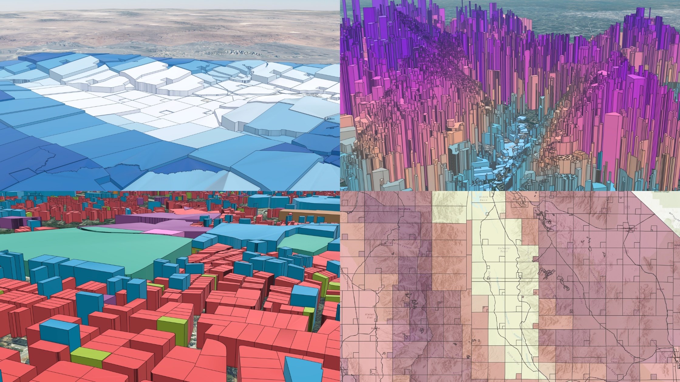
A detail of updates in February and a preview of the upcoming counties in our pipeline is below. Read More

A post from Regrid CEO, Jerry Paffendorf Read More
Press Release Published 2/18/25 - click here to view the full release Parcels cover the world in a quilt of property boundaries and are necessary... Read More
A detail of updates in January and a preview of the upcoming counties in our pipeline is below. Read More
Parcels are the foundation of every location decision, and Regrid is proud to be your choice for parcel data. Read More
