


.svg)


Latest Blog Post
Announcing Parcels: How Property Shapes Geography — A new book from Esri Press by Jerry Paffendorf and Nancy von Meyer
on July 22, 2026
 Premium parcels
.png) AI and ML tools
AI and ML tools
 Delivery methods

-1.png)
As we wrap up 2025, we want to thank you for being part of our journey. Your support and engagement mean the world to us, and we’re excited to... Read More
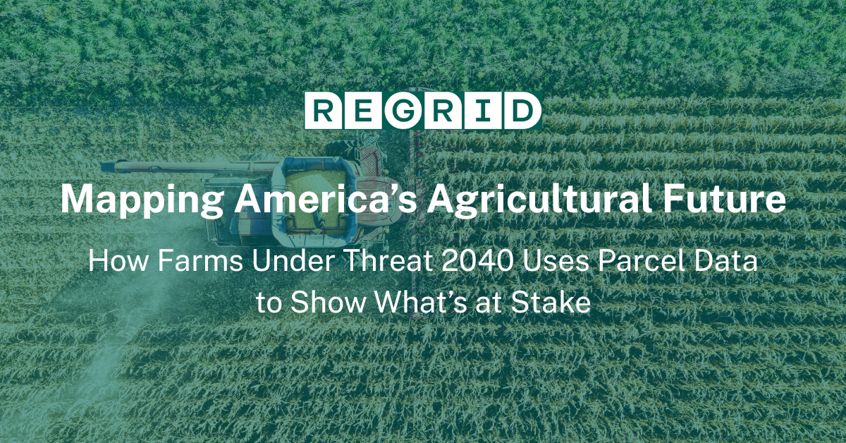
How Farms Under Threat 2040 Uses Parcel Data to Show What’s at Stake By 2040, millions of acres of America’s farmland could be lost—not to disaster,... Read More

A detailed list of updates in November and a preview of the upcoming counties in our pipeline is below. Read More
.png)
Parcel-level housing insights just got more precise Regrid’s parcel fabric grows because you tell us what you need. Over the past year, we kept... Read More

The new early signal that changes the (conservation) conversation When teams shortlist sites, the last few candidates often look the same. Cost is... Read More
A detailed list of updates in October and a preview of the upcoming counties in our pipeline is below. Read More
Better Tools Built for Scaling Your Location Decisions Regrid’s Feature Service delivers instant access to a powerful nationwide parcel dataset.... Read More
.png)
A detailed list of updates in September and a preview of the upcoming counties in our pipeline is below. Read More
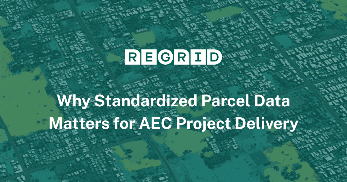
How Burns & McDonnell Built a Shared Foundation Across Teams In architecture, engineering, and construction (AEC), parcel data supports every step... Read More
A detailed list of updates in August and a preview of the upcoming counties in our pipeline is below. Read More
