
-
Products ⌄
 Premium parcels
.png) AI and ML tools
AI and ML tools
 Roadway ROW
 Spatial add-ons
 Delivery methods
- Industries ⌄
- Data store
- Property App
- Esri users
-
Resources ⌄
 Content
 Programs
.png) Shop
Shop
- Contact us









.svg)

.png)























-
Products ⌄
AI and ML tools
Roadway ROW
-
Industries ⌄
-
Resources ⌄
NEW REGRID x ESRI PRESS BOOK
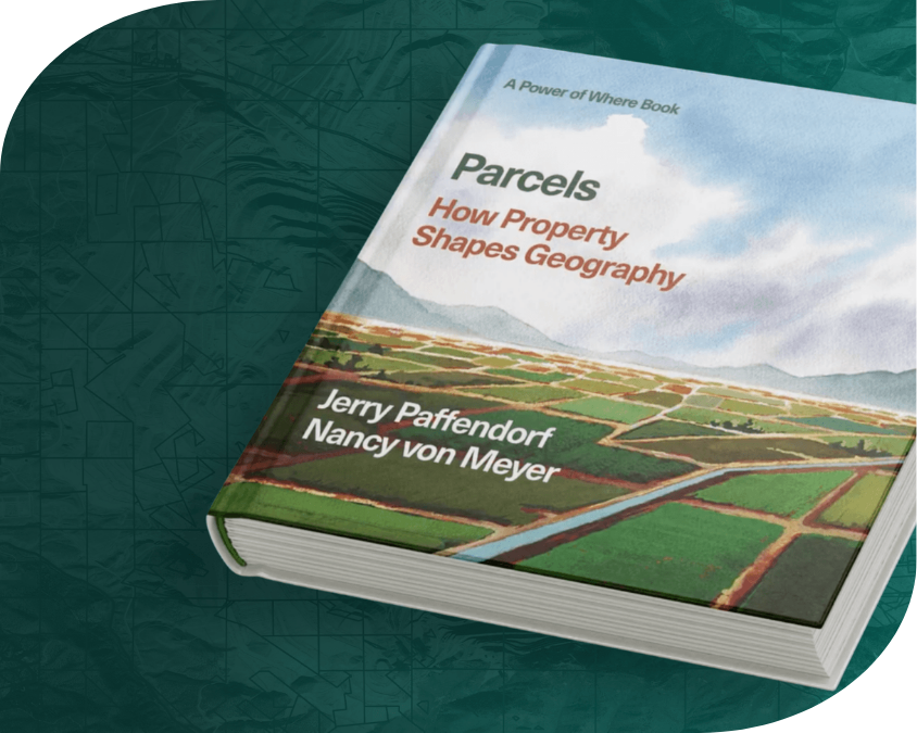
Parcels: How Property Shapes Geography
Discover how land records and property boundaries serve as the foundational spatial framework for how we live, build, protect, and govern.
Co-authored by Regrid CEO Jerry Paffendorf and cadastral expert Nancy von Meyer, this new Esri Press release—part of The Power of Where Collection—explores parcels as the actionable unit of geography.
Use promo code PARCELS40 on IndiePubs for 40% off your pre-order.
A short synopsis
Knowing and mapping parcel lines allows us to visualize how we have divided the land and built our society upon it. But where do parcels come from? How do they shape geography and life within it? How can we all understand parcels through digital mapping technology, and how can parcels adapt to meet changing human and environmental needs in the future?
Featuring beautiful parcel maps connected by stories, research, and use cases, Parcels introduces readers to how property boundaries form the invisible fabric of our landscapes, rights, and location decisions around the world and through time. From ancient Egyptian surveying under the goddess Seshat and Roman property boundaries under the god Terminus, to modern urban challenges in Detroit and future concepts like outer space parceling for robots, the book centers parcels as the actionable unit of geography.
"Land information, often referred to as parcel mapping and cadastral information, plays a major role in geographic information systems (GIS)... In Parcels, the authors present a geographic approach that offers practical lessons in integrating and using land information as the basis for creating a better world."
- Jack Dangermond, Co-founder & President, Esri and author of The Power of Where: A Geographic Approach to the World's Greatest Challenges
Inside the book
Connecting parcels to the geographic approach & GeoAI
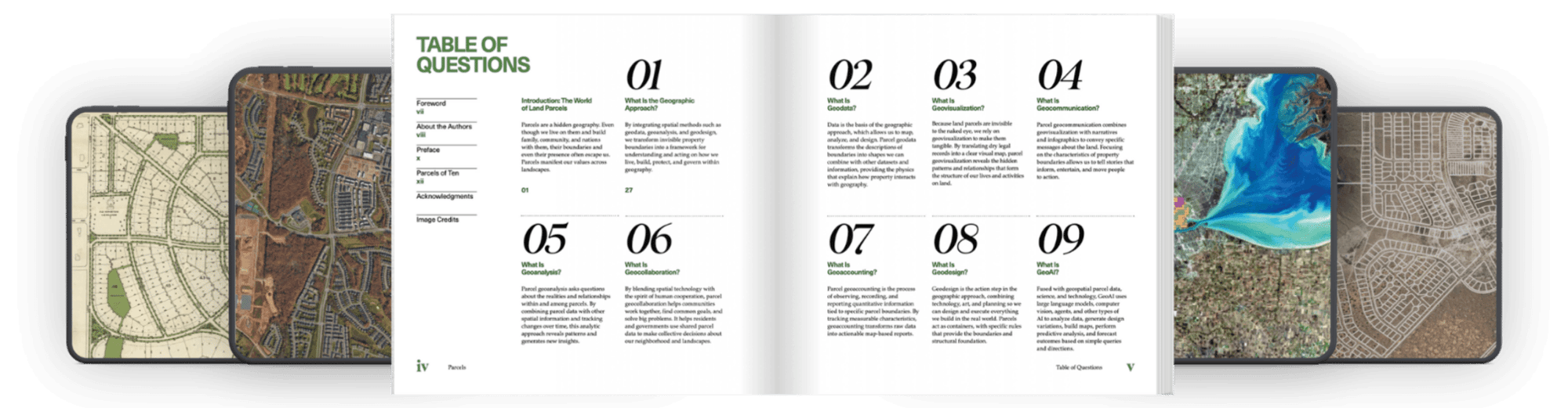
Building on Esri co-founder Jack Dangermond’s The Power of Where, this book applies foundational spatial thinking—from Geodata and Geodesign to Geovisualization and Geocollaboration—directly to property records.
Parcels introduces an 8th geomethod to the framework: GeoAI. Authors Jerry Paffendorf and Nancy von Meyer consider the physical footprint of AI and data centers within the parcel fabric, and contemplate how AI may change our relationship to land as we balance ancient human wisdom and a love of home and nature with new technological capabilities for monitoring, envisioning, and forecasting land use.
About the authors
Deep passion meets decades of cadastral expertise
Collaborating across years of shared commitment to land information, Jerry and Nancy bring complementary perspectives to the world of parcels:
Jerry
Paffendorf
Jerry Paffendorf (CEO & Co-founder of Regrid) brings the pioneering vision of aggregating and mapping 100% of the United States parcel fabric
Nancy
Von Meyer
Nancy von Meyer provides deep institutional and historical expertise in how cadastral systems and land records are built, governed, and maintained.
Esri Press collection
Publication and pre-order details
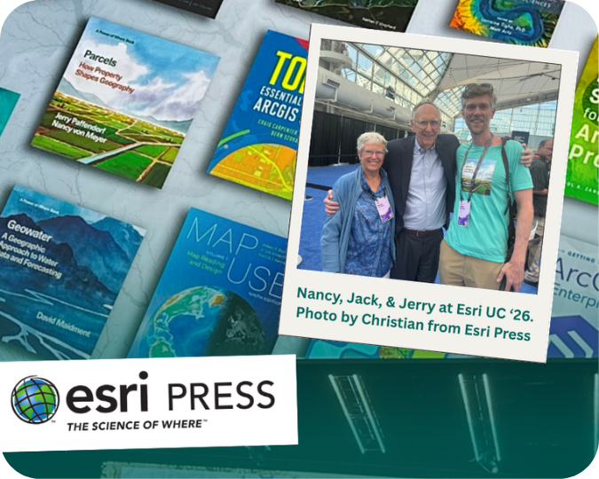
Parcels is proud to be published by Esri Press as part of The Power of Where Collection, expanding on spatial thinking and real-world GIS applications.
See the whole Power of Where collection from Esri Press here.
The full book is scheduled for publication and delivery on September 15th.
🏷️ Pre-order discount: Use promo code PARCELS40 for a 40% discount on pre-orders placed through IndiePubs while supplies last!

(888) 4RE-GRID
Subscribe for email updates