regrid_tm_forest
Sign In
  • Products ⌄

    Regrid premium parcel data menu icon Premium parcels

    • global-icon Global parcels
    • US Parcel Data U.S. parcels
    • Europe-icon-navigation European parcels
    • Canada Parcel Data Canadian parcels
    • map-location-pin-regrid-icon U.S. coverage map

    ai-ml-navigation-icon (1) AI and ML tools

    • mcp-server-navigation MCP Server

    roadway-row-icon_2025-1 Roadway ROW

    • roadway-row-icon_2025 U.S. roadway polygons

    Spatial add-ons menu icon Spatial add-ons

    • Matched building footprints menu icon Matched building footprints
    • Matched secondary addresses menu icon Matched secondary addresses
    • Standardized zoning menu icon Standardized zoning
    • Enhanced property ownership menu icon Daily ownership updates

    Data access icon Delivery methods

    • Bulk files icon Bulk files
    • Feature Service Feature service
    • api-icon_2025 Parcel API and tiles
    • Green icon of a shopping cart with check mark Data store
  • Industries ⌄

    industries-we-serve Industries we serve

    • aec-navigation-icon Architecture, engineering, and construction (AEC)
    • re-navigation-icon Real estate
    • gov-navigation-icon Government
    • ag-navigation-icon Agriculture
    • energy-navigation-icon Renewable energy and utilities
    • telco-navigation-icon Broadband and telecommunications
    • insurance-navigation-icon Insurance and finance
    • ai-ml-navigation-icon AI and machine learning
    • transportation-navigation-icon Transportation and logistics
  • Data store
  • Property App
  • Esri users
  • Resources ⌄

    Support menu icon Support

    • Support site menu icon Support site
    • Tutorial videos menu icon Tutorial videos
    • blog_resources_icon-1 Parcel schema
    • Regrid icon Sign into the Regrid Property App

    Content menu icon Content

    • Blog menu icon Blog
    • Customer stories menu icon Customer Stories
    • Reports menu icon Reports
    • data-store-2 Coverage map
    • Green file icon representing all resources All resources

    Programs menu icon Programs

    • Regrid giving menu icon Regrid Giving
    • dwp-navigation-icon copy Data with Purpose

    shop icon Shop

    • merch_icon_2025 Regrid Merch
  • Contact us
Contact us
  • Products ⌄

    Premium parcels

    • Global parcels
    • U.S. parcels
    • European parcels
    • Canadian parcels
    • U.S. coverage map

    Spatial add-ons

    • Matched building footprints
    • Matched secondary addresses
    • Standardized zoning
    • Daily ownership updates

    AI and ML tools

    • MCP Server

    Delivery methods

    • Bulk files
    • Feature service
    • Parcel API and tiles
    • Data store

    Roadway ROW

    • U.S. roadway polygons
  • Industries ⌄

    Industries we serve

    • Architecture, engineering, and construction (AEC)
    • Real estate
    • Government
    • Agriculture
    • Renewable energy and utilities
    • Broadband and telecommunications
    • Insurance and finance
    • AI and machine learning
    • Transportation and logistics
  • Data store
  • Property App
  • Esri users
  • Resources ⌄

    Support

    • Support site
    • Tutorial videos
    • Parcel schema
    • Sign into the Regrid Property App

    Programs

    • Regrid Giving
    • Data with Purpose

    Content

    • Blog
    • Customer Stories
    • Reports
    • Coverage map
    • All resources

    Shop

    • Regrid Merch
  • Contact us


REGRID KNOWLEDGE BASE

Resource library

Contact enterprise sales
Minimal flat illustration of a search bar with a magnifying glass, a map tile, a document icon, and two stacked refresh-style icons in green and blue.

Filters
October 2026 Regrid parcel data update banner

Parcel data update - October 2026

Explore October’s parcel data updates, including 30 million refreshed parcels across 635 counties, expanded building footprints, and a look at what’s coming in future releases.

View more
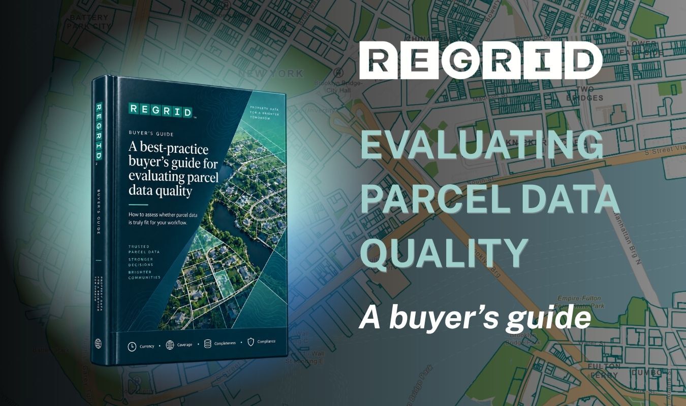
Evaluating parcel data quality - a buyers guide

How to evaluate parcel data quality

Learn what to look for when evaluating parcel data, from freshness and coverage to completeness and consistency, so you can choose data that fits your needs.

View more
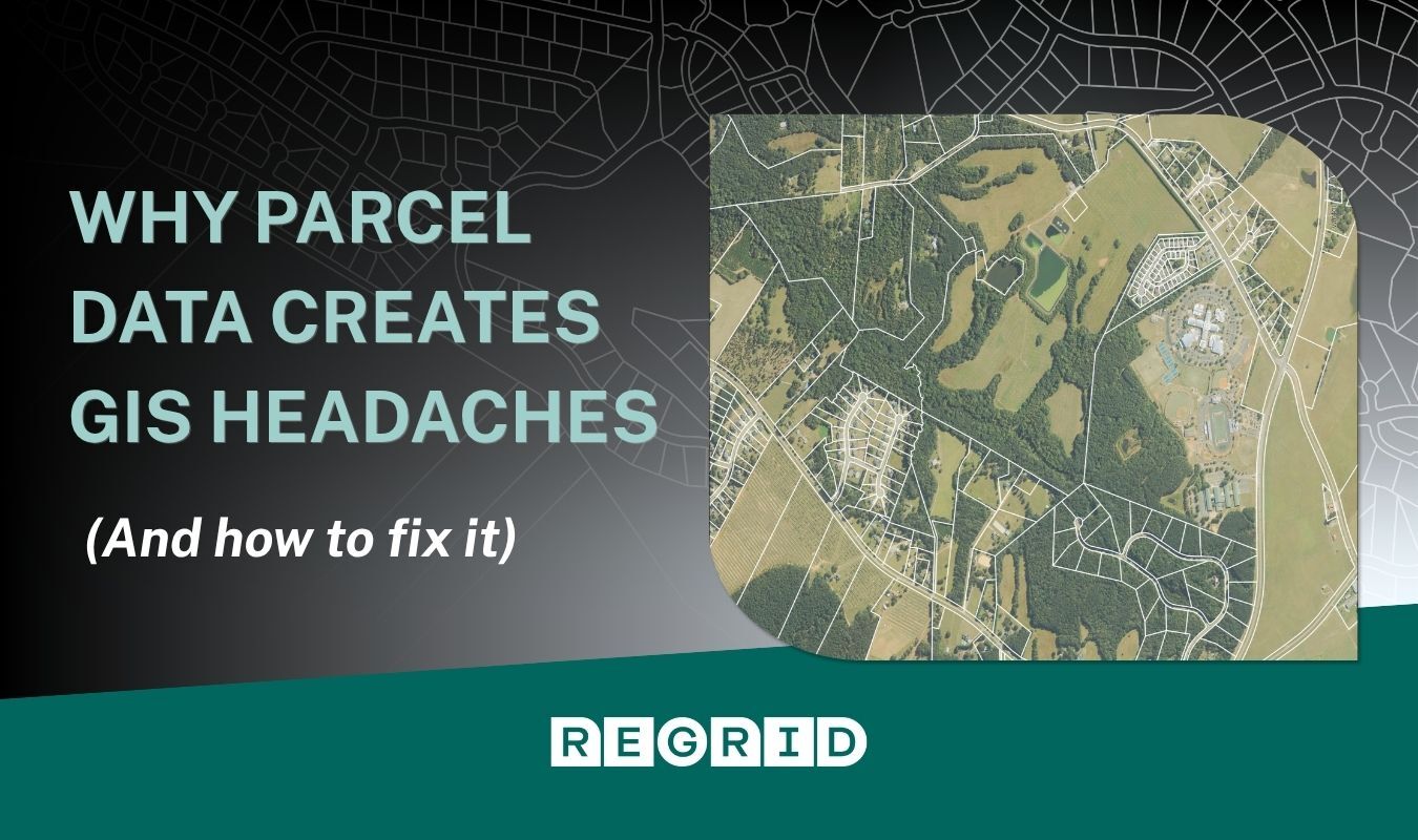
Parcel map background overlaid with title and Regrid logo and aerial image with parcel fabric overlaid

Solving parcel data headaches in GIS

Explore why parcel data can complicate GIS projects and learn practical ways to simplify your workflows, reduce data preparation, and spend more time on analysis.

View more
Parcels book release

Parcels: An interview with the authors

Discover how property boundaries shape communities and decisions about land, as authors Jerry Paffendorf and Nancy von Meyer discuss the ideas behind their book, Parcels.

View more
Sept 2026 parcel data update-1

Parcel data update - September 2026

Explore this month’s parcel data refresh, with 48 million parcels updated across 570 U.S. counties, expanded Canadian coverage, and a look at what’s coming next.

View more
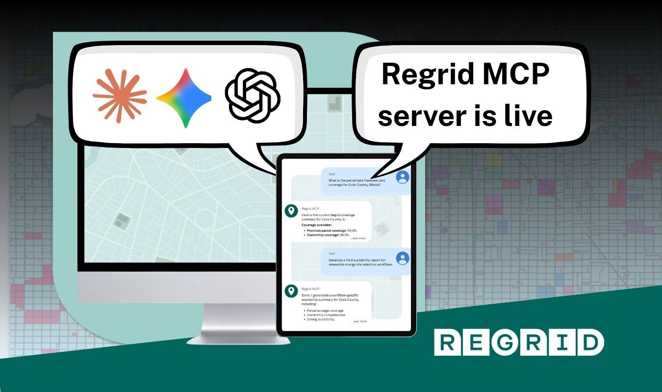
Regrid MCP server live announcement graphic with two speech bubbles, a central tablet showing a web page, a teal city map background, and the REGRID logo at the bottom.

Connecting AI to parcel data with Regrid MCP

Learn how the Regrid MCP Server helps AI assistants explore parcel data, understand property attributes, and turn natural-language questions into API requests for real-world workflows.

View more
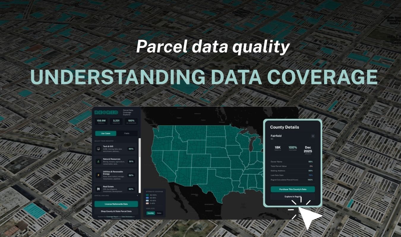
Parcel map overlaid with headline

Understanding parcel-data coverage

Learn why parcel data coverage differs across locations and attributes, what those gaps mean for your work, and how to assess whether a dataset meets your needs.

View more
Parcel map of Venice overlaid with a dark gradient and Regrid logo and text reading

Introducing Regrid’s European parcel data

Explore Regrid’s European dataset, bringing over 400 million parcels into one consistent format, with flexible delivery options and regional coverage bundles to simplify work across borders.

View more
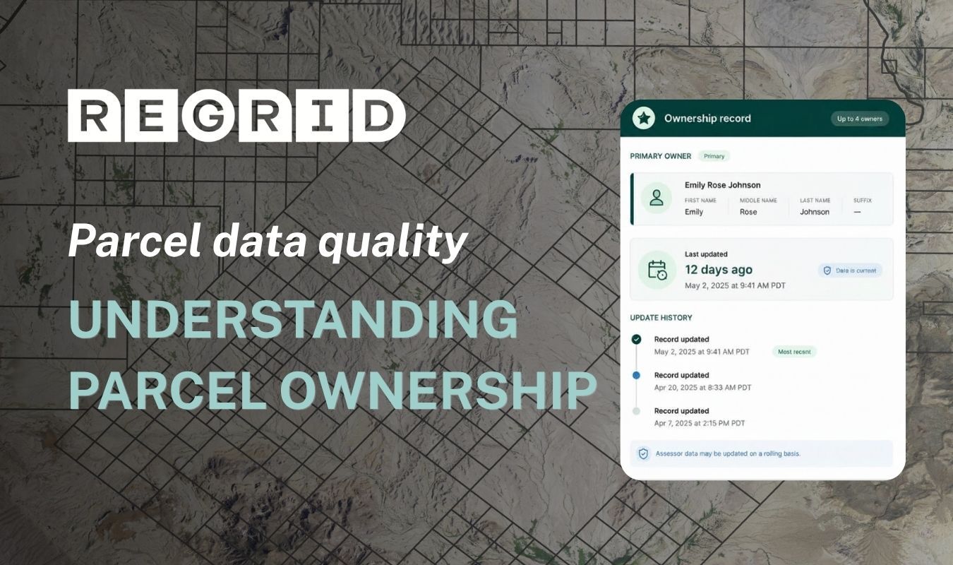
Parcel map overlaid with headline

Understanding parcel ownership data

Learn how to assess ownership data sources, coverage, and freshness, understand how owner information is structured, and choose the right fields for your workflow.

View more
August parcel data update

Parcel data update - August 2026

Explore this month’s parcel data refresh, with 29 million parcels updated across 611 U.S. counties, upcoming address schema changes, and a look at what’s coming next.

View more
Background parcel map overlaid with Regrid logo and headline that reads

Understanding parcel geometry

Learn how to assess parcel boundary sources, validation, and precision, understand apparent imagery misalignment, and determine whether the geometry is suitable for your workflow.


View more
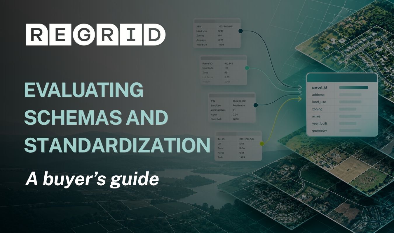
Schemas and standardization

Understanding parcel data standardization

Learn how to evaluate parcel data schemas, distinguish standardized values from local information, and assess whether the data supports consistent, repeatable workflows across jurisdictions.

View more
Banner reading “Global Top 100 Geospatial Companies 2026” with a world map backdrop and a purple circuit-board pattern on the right, plus the hashtag “#Geoawesome100” at the bottom.

Regrid returns to the Geoawesome 100

Regrid marks five consecutive years among Geoawesome’s top 100 geospatial companies, with the 2026 list selected entirely by the global geospatial community for the first time.

View more
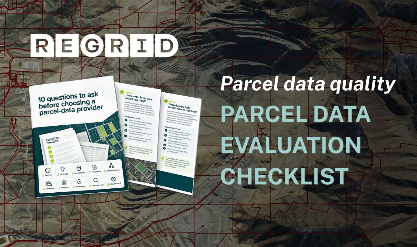
Parcel map overlaid with title

Parcel data evaluation checklist

Learn what to ask when comparing parcel data providers, from data freshness and coverage to transparency and support, so you can choose the right fit.

View more
Parcels - new Esri press book

NEW Parcels book by Esri Press

Discover the story behind Jerry Paffendorf and Nancy von Meyer’s book, exploring how property boundaries connect history, communities, and the future of spatial intelligence through GeoAI.

View more
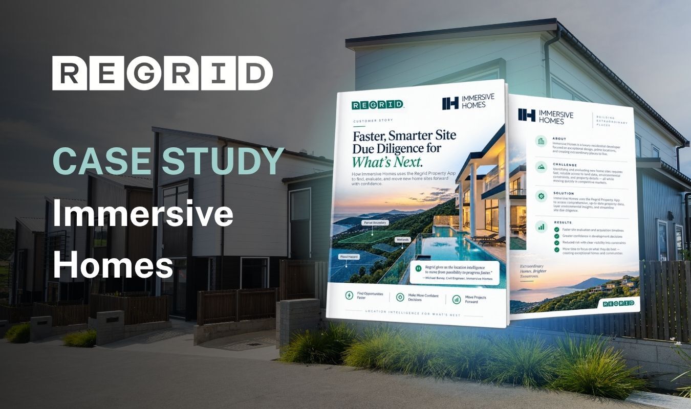
A case study banner for Regrid titled “Immersive Homes,” with two brochure-style panels featuring property and floorplan text over a photo of modern homes.

Immersive Homes: Faster site due diligence

See how Immersive Homes uses the Regrid Property App to assess site constraints, review parcel boundaries, and bring property data into AutoCAD for early home development planning.

View more
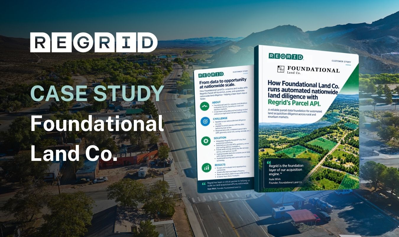
Regrid Case Study: Foundational Land Co.” banner over an aerial landscape, with two product-style booklets titled “FOUNDATIONAL Land Co.” and “How Foundational Land Co. uses automation and intelligence…”

Foundational Land Co.: Automated land diligence

See how Foundational Land Co. uses Regrid’s Parcel API to enrich property records, screen land opportunities nationwide, and automate due diligence before parcels reach human review.

View more
July 2026 parcel data update

Parcel data update - July 2026

Explore this month’s parcel data refresh, with 51 million parcels updated across 544 U.S. counties, new European coverage, the MCP Server launch, and refreshed building footprints.

View more
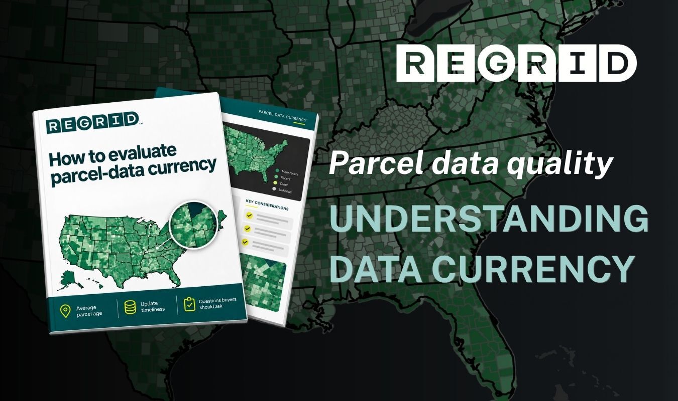
Data currency

How to evaluate parcel data currency

Learn how to assess the freshness of parcel data, understand update cycles and source dates, and determine whether the information is current enough for your needs.

View more
Regrid case study graphic for Autodesk over a photo of a person working at a desk with laptops and printed materials; the screen shows maps and technical documents, with “CASE STUDY” and “Autodesk” text.

Autodesk: Streamlining project setup in Forma

See how Autodesk integrates Regrid’s Parcel API into Forma, helping users retrieve parcel boundaries for their project areas, reduce manual data preparation, and accelerate early-stage planning.

View more
A promotional banner for “REGRID” with the text “CASE STUDY” and “Bloom Spatial,” showing three overlapping document and map mockups over a background of power lines and transmission towers at sunset.

Bloom Spatial: Supporting vegetation management

See how Bloom Spatial uses Regrid’s Parcel API to connect vegetation risks with landowners, helping electric cooperatives plan tree work, notify members, and support field crews.

View more
EOY report 2025

Regrid's 2025 end-of-year report

Explore Regrid’s 2025 highlights, from new datasets and product improvements to customer successes, partnerships, and community programs helping people put parcel data to work.

View more
Introducing API token management

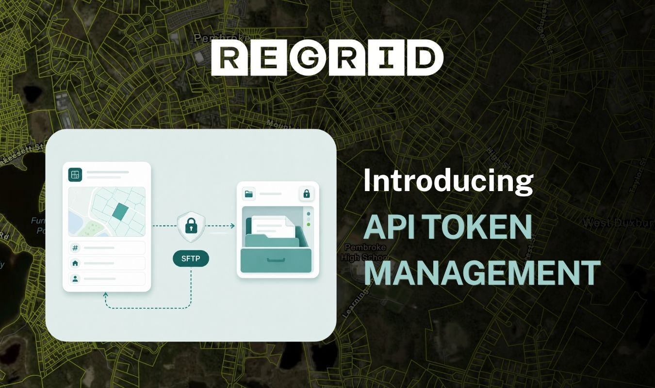
Managing your Regrid API tokens

Learn how to create and rotate API tokens, control access to licensed datasets, and track usage across projects for greater security and flexibility.

View more
Marketing slide with the Regrid logo and “CASE STUDY Langan,” showing high-rise apartment buildings and overlapping document pages with headings and map-style visuals.

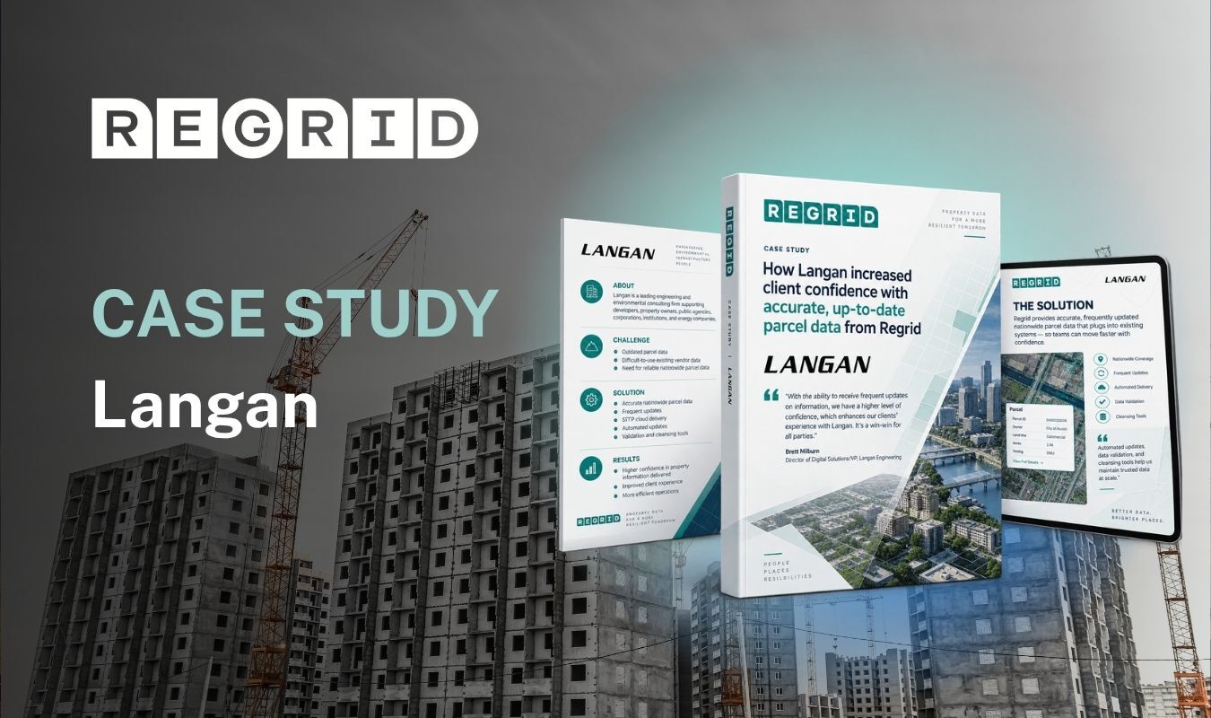
Langan: Building confidence in property data

See how Langan uses Regrid’s regularly updated nationwide parcel data to improve data quality, streamline internal workflows, and strengthen client confidence in the property information it delivers.

View more
Case study graphic for Regrid titled “Topo Maps+,” showing a topographic map background with three documents and a smartphone displaying a map interface.

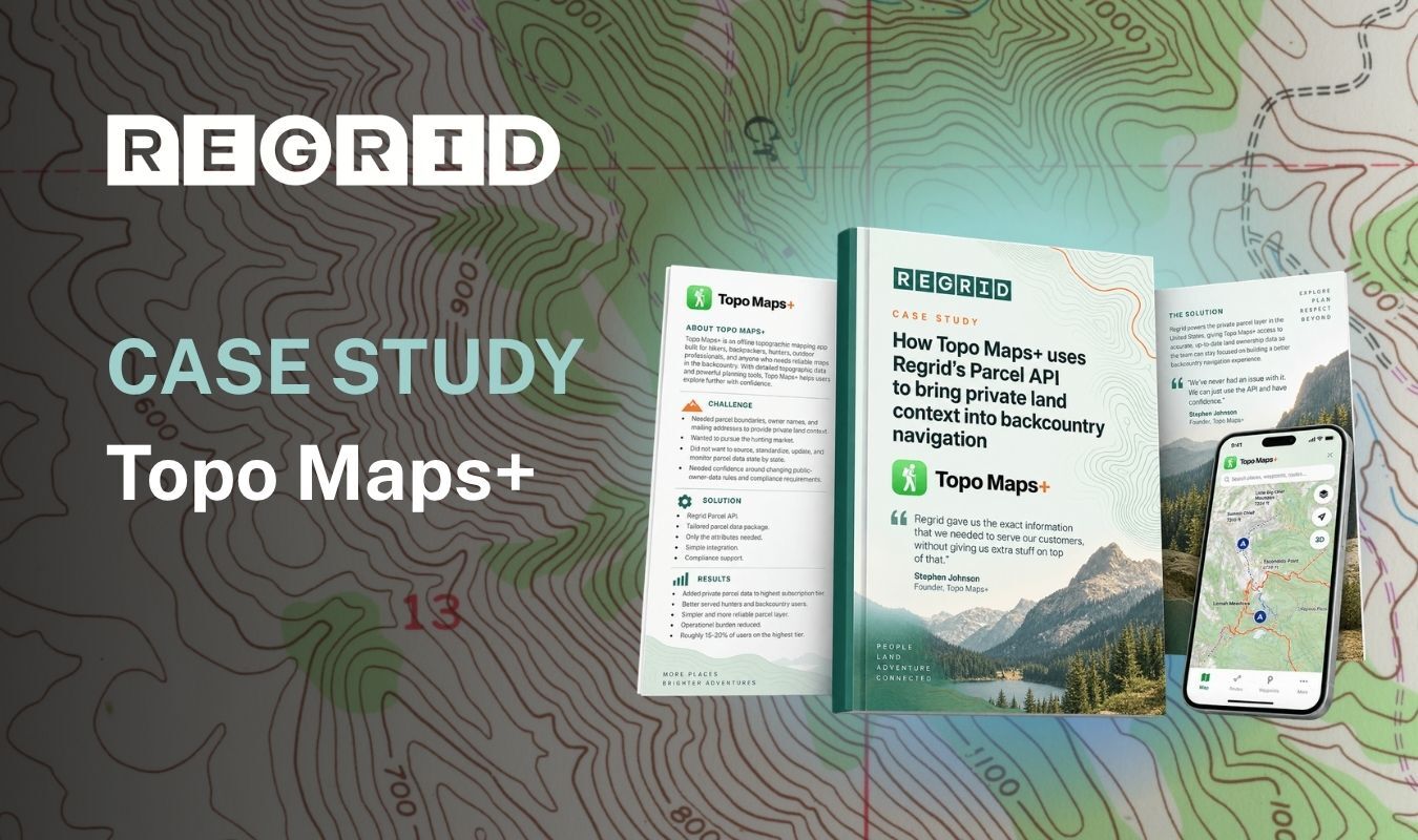
Topo Maps+: Mapping private land

See how Topo Maps+ uses Regrid’s Parcel API to add property boundaries and ownership details, helping hunters and backcountry users understand land access and contact landowners.

View more
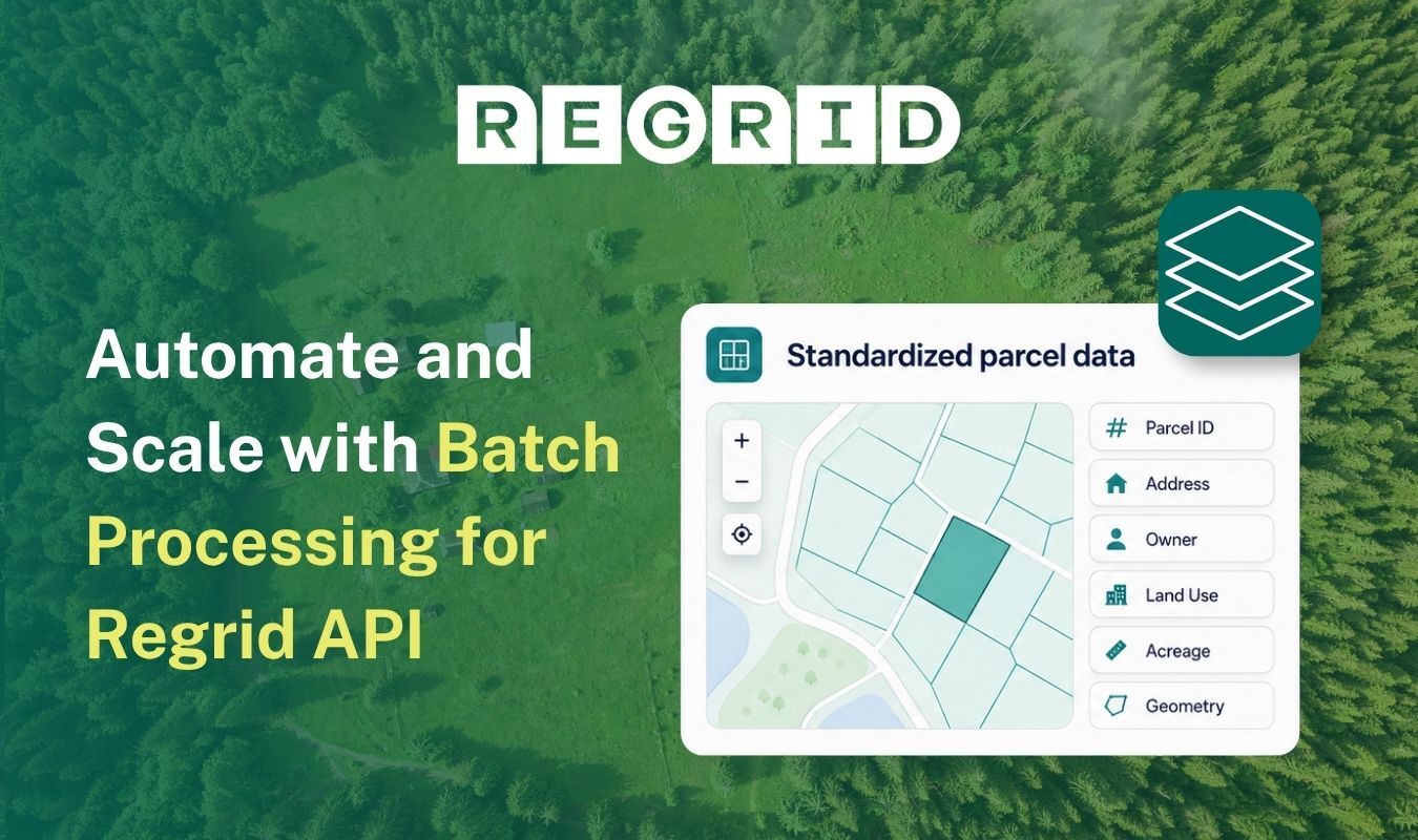
Batch processing

Batch processing with the Regrid API

See how Regrid’s API batch processing turns large lists of coordinates into matched parcel data, helping teams automate location enrichment and prepare results for mapping and analysis.

View more
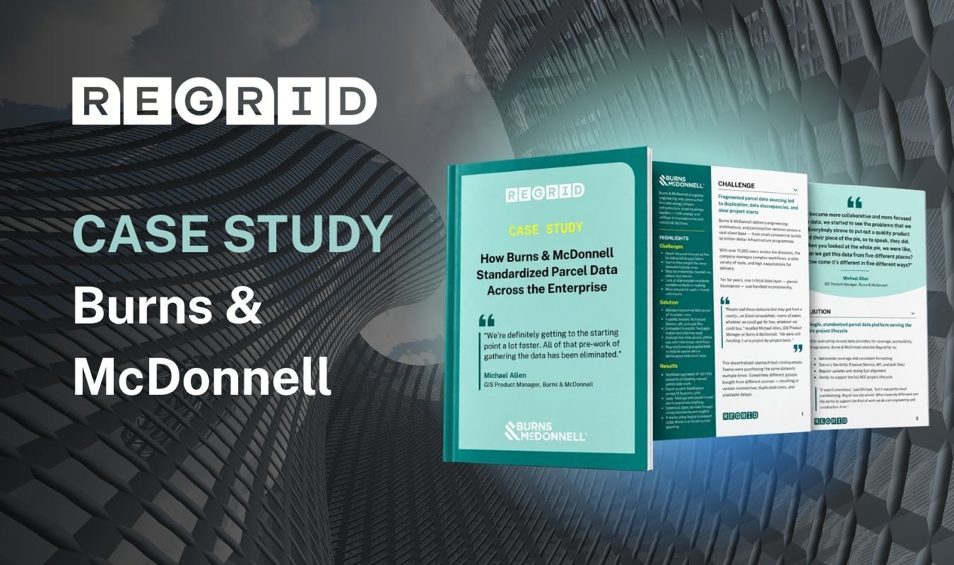
Regrid case study title reading “Burns & McDonnell” over a dark textured background, with two open brochures showing “CASE STUDY” and “How Burns & McDonnell…” text.

Burns & McDonnell: Standardizing parcel data

See how Burns & McDonnell uses Regrid to standardize parcel data across teams, reduce duplicate effort, accelerate project setup, and deliver better location intelligence to clients.

View more
A city office building facade with a case study mockup showing Regrid and CREtelligent

CREtelligent: Risk reports in under a minute

See how CREtelligent uses Regrid’s Parcel API to identify properties, power automated risk reports in under a minute, and support commercial real estate due diligence at scale.

View more
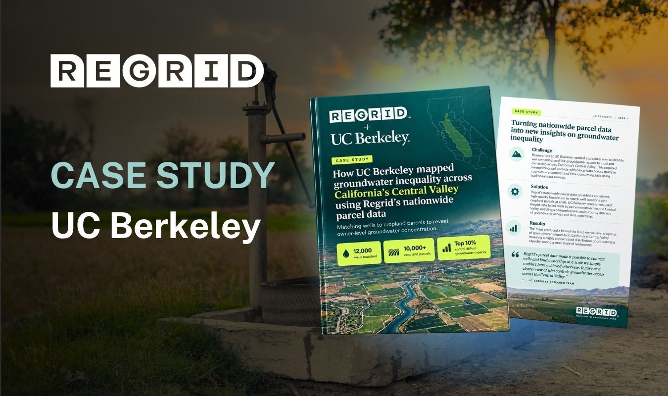
UC Berkeley case study

UC Berkeley: Mapping groundwater inequality

See how UC Berkeley researchers use Regrid parcel data to link 12,000 wells to land ownership, revealing inequalities in groundwater access across California’s Central Valley.

View more
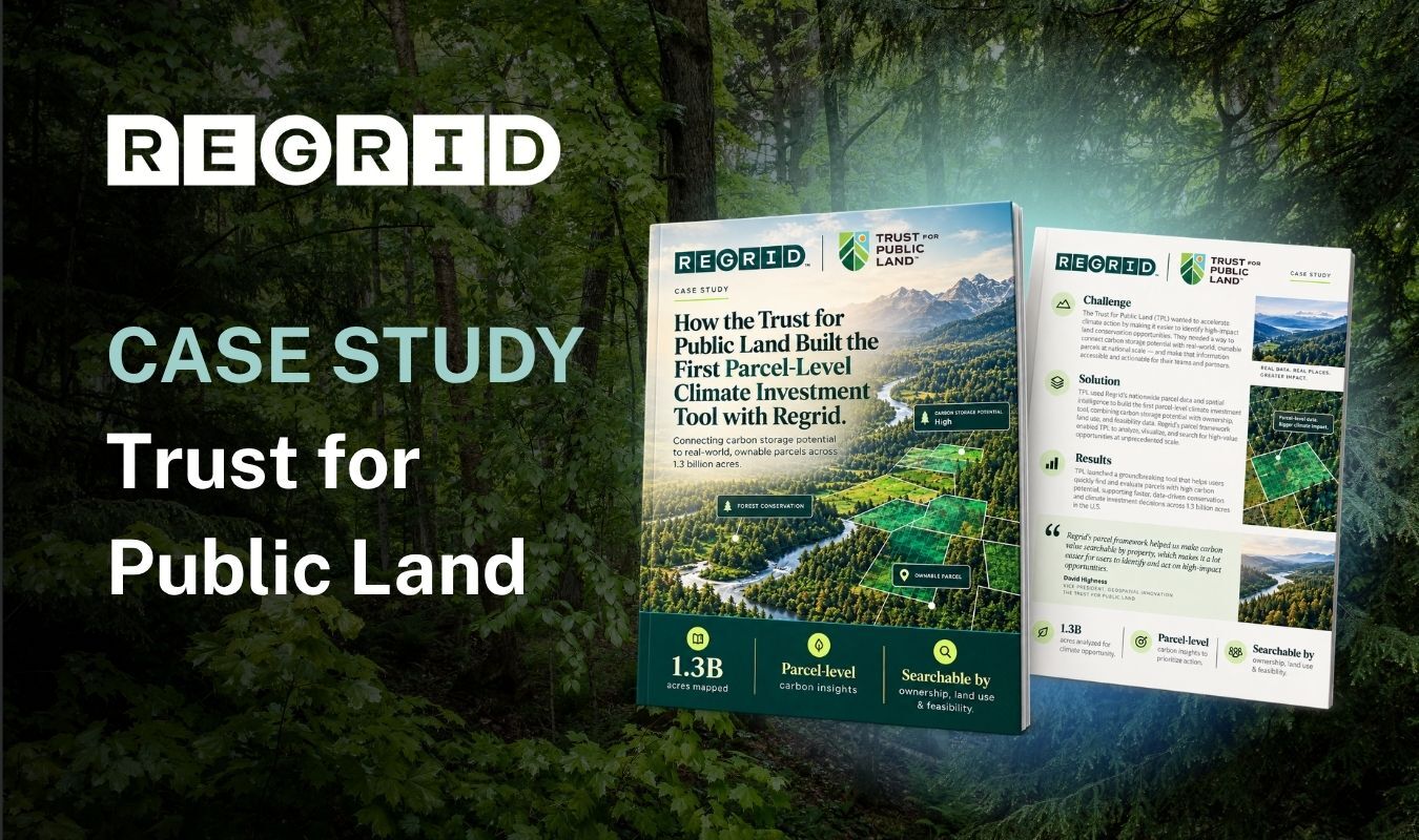
Regrid case study title over a forest background, with two brochures tilted in the foreground showing text and landscape images.

TPL: Mapping carbon by parcel

See how the Trust for Public Land uses Regrid parcel data to map carbon storage potential across 1.3 billion acres, helping teams identify and prioritize conservation opportunities.


View more
Regrid case study title over a river scene, with two brochures labeled “Places Lab” and “Boston University,” featuring aerial campus imagery and text blocks.

Boston University: Uncovering flood risk

See how Boston University Places Lab researchers use Regrid parcel data to connect flood models with property values, revealing $187 billion in residential overvaluation linked to unpriced flood risk.

View more
Regrid case study title “Dynamic Weather Solutions” on a cloudy sky background, with two side-by-side brochures showing case study-related text and charts.

Dynamic Weather Solutions: Smarter hail leads

See how Dynamic Weather Solutions uses Regrid parcel data in HailStrike to help roofing teams prioritize property leads and insurance carriers assess claims after hail events.

View more
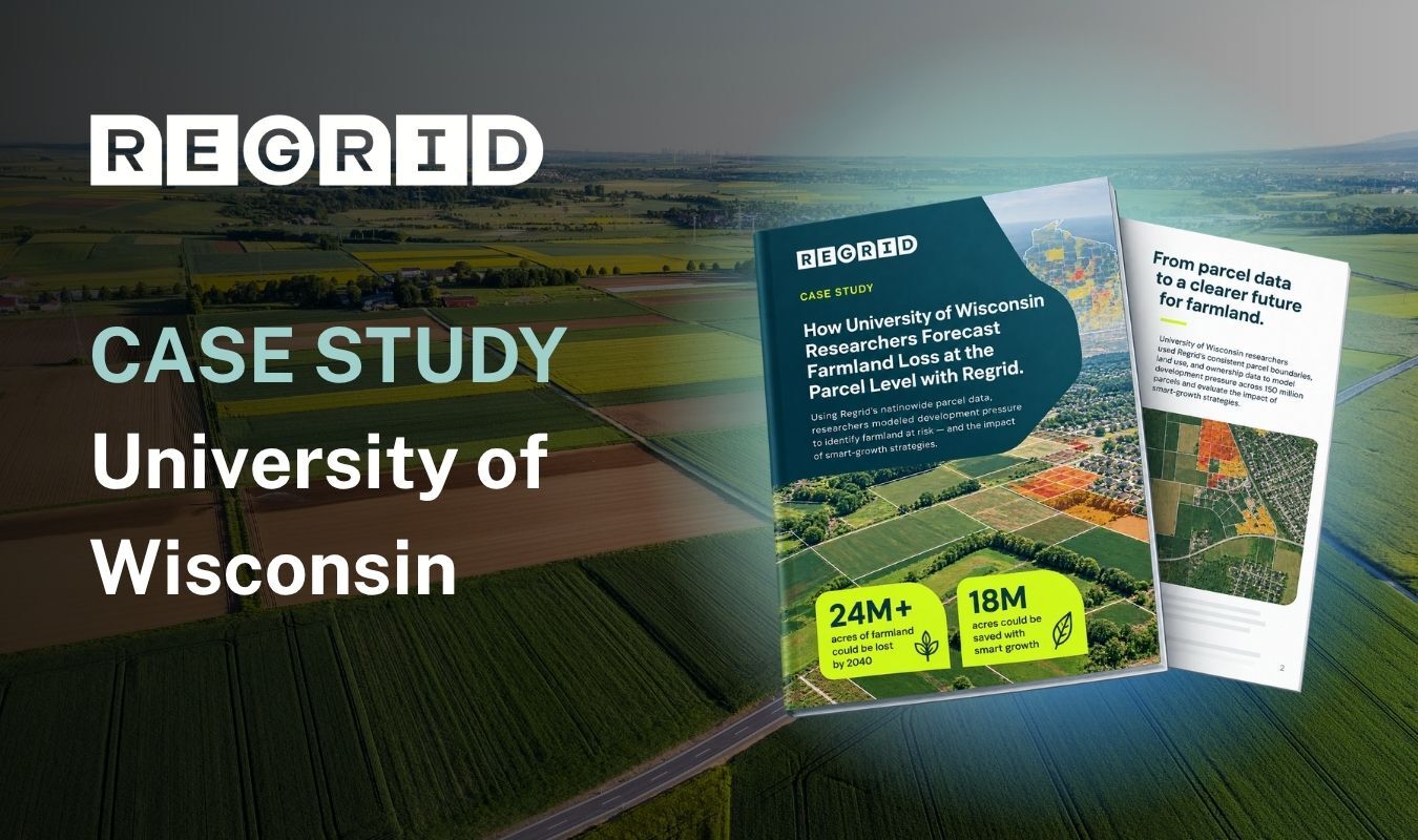
Aerial farmland landscape with a “Regrid” title, “CASE STUDY” and “University of Wisconsin” text, plus three brochure-like panels showing charts and maps.

UW: Forecasting farmland loss

See how University of Wisconsin researchers use Regrid parcel data to forecast farmland loss, compare development scenarios, and help planners prioritize land protection efforts through 2040.


View more
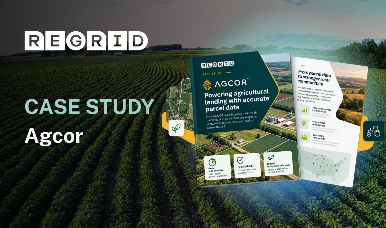
Farm landscape with rows of crops, overlaid with “Regrid” and “CASE STUDY Agcor,” plus a central green infographic panel and smaller document icons.

Agcor: Informing agricultural lending

See how Agcor uses Regrid’s nationwide parcel data to help loan officers evaluate agricultural properties, assess collateral value and risk, and make more informed lending decisions.

View more
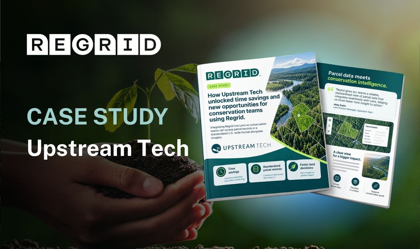
Hand holding a plant overlaid with

Upstream Tech: Faster conservation research

See how Upstream Tech integrates Regrid parcel data into Lens, helping conservation teams view ownership alongside imagery, evaluate land acquisitions, and streamline ongoing property monitoring and stewardship.

View more
Street with buildings overlaid with

AMP: Targeting transportation project notices

See how Advocacy Marketing Partners uses the Regrid Property App to build precise mailing lists along transportation corridors, helping project teams reach residents and reduce outreach costs.

View more
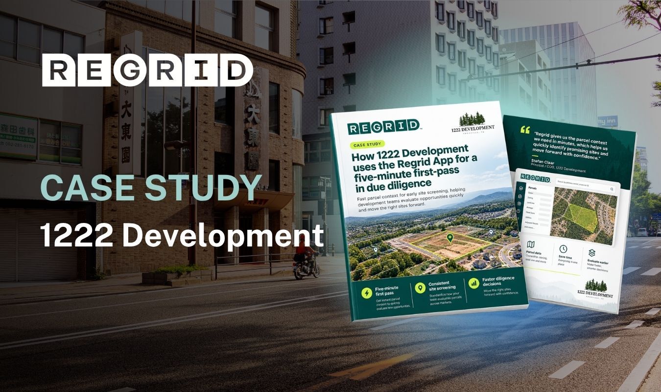
City scape with

1222 Development: Faster site screening

See how 1222 Development uses the Regrid Property App to screen sites in minutes, assess wetlands and flood risk, and identify promising opportunities for deeper due diligence.

View more
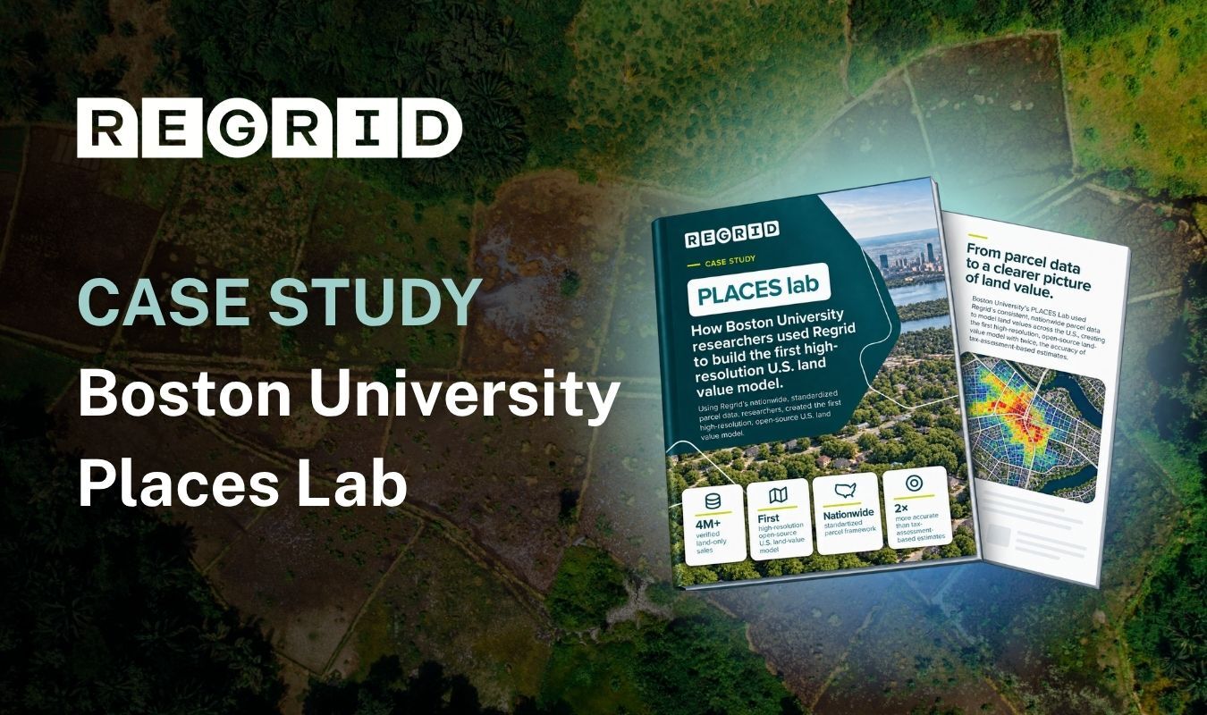
Aerial image of land overlaid with

Boston University: Mapping land values

See how Boston University researchers use Regrid parcel data and over four million land sales to model U.S. land values, supporting planning, investment, and conservation decisions.

View more
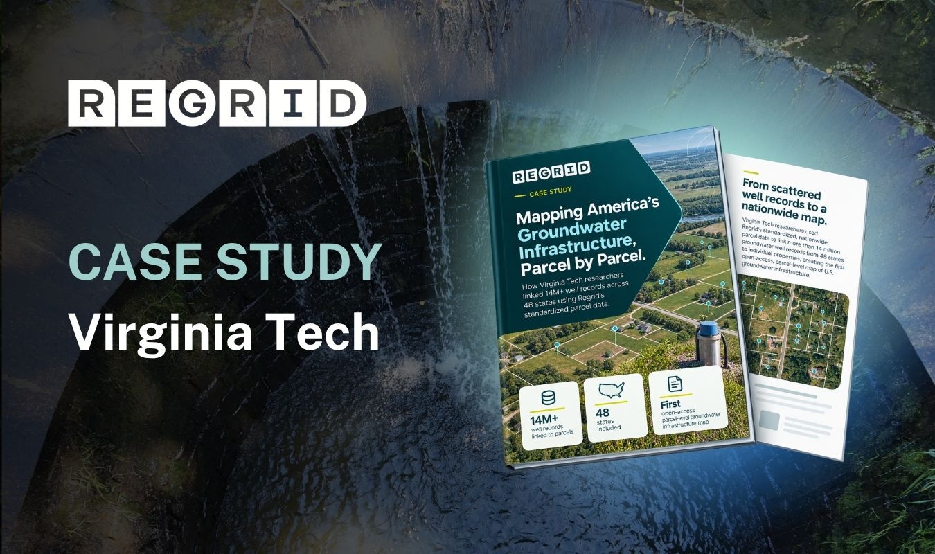
Groundwater well overlaid with

Virginia Tech: Mapping groundwater infrastructure

See how Virginia Tech researchers use Regrid parcel data to connect over 14 million well records to properties, helping planners understand groundwater access across 48 states.

View more
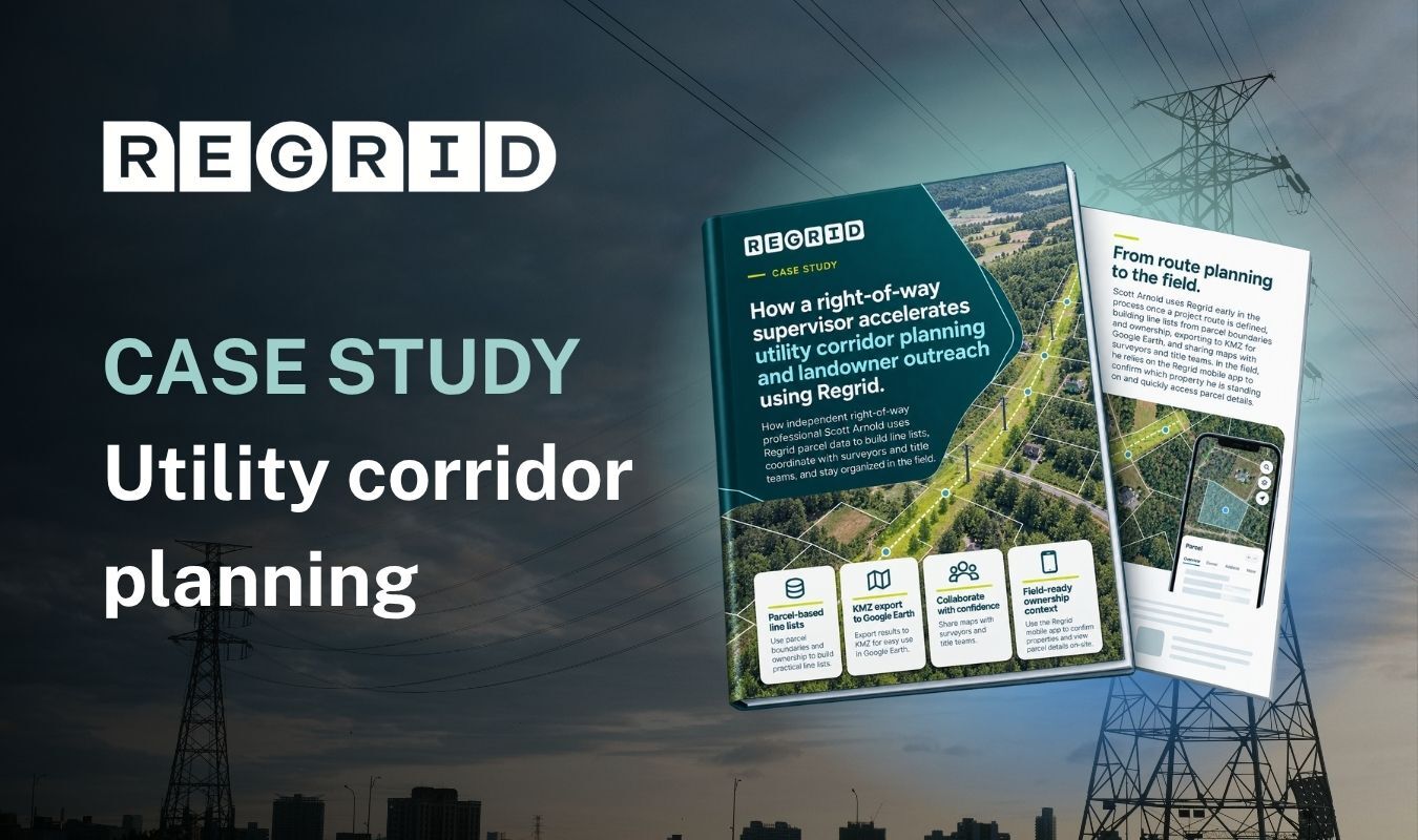
Power lines overlaid with

Streamlining utility corridor planning

See how right-of-way supervisor Scott Arnold uses the Regrid Property App to identify affected parcels, coordinate survey and title teams, and support landowner outreach for utility projects.


View more
Hmm… no matches found. Try resetting the filters or searching for a specific term.
CREtelligent logo
Esri Logo
Autodesk logo
Langan logo
Burns & McDonnell logo
Agcor logo
Bloom Spatial logo
UC Berkeley logo
Upstream Tech logo
Crexi logo
Dycom logo
CQA logo
TomTom logo
Amazon logo
Polaris logo
United States Census Bureau logo
BCG logo

Let's explore what parcel data can do for you

Tell us a bit about your parcel data needs, and we’ll help you find the right coverage, delivery method, and product fit for your workflow.
*required
logo

(888) 4RE-GRID

  • Contact us
  • Customer support
  • Privacy policy
  • Terms of use
  • Cookie Preferences

Subscribe for email updates

Company

  • About Regrid
  • Careers
  • Press
  • Shop Regrid merch

Resources

  • Coverage map
  • Support center
  • Reports
  • Regrid status page

Enterprise Solutions

  • U.S. parcels
  • Canada parcels
  • Europe parcels
  • Parcel and tiles API
  • Roadway Right-of-Way

Self-serve solutions

  • Regrid Property App
  • Shop the Data Store
  • API monthly plans