regrid_tm_forest
Sign In
  • Products ⌄

    Regrid premium parcel data menu icon Premium parcels

    • global-icon Global parcels
    • US Parcel Data U.S. parcels
    • Europe-icon-navigation European parcels
    • Canada Parcel Data Canadian parcels
    • map-location-pin-regrid-icon U.S. coverage map

    ai-ml-navigation-icon (1) AI and ML tools

    • mcp-server-navigation MCP Server

    roadway-row-icon_2025-1 Roadway ROW

    • roadway-row-icon_2025 U.S. roadway polygons

    Spatial add-ons menu icon Spatial add-ons

    • Matched building footprints menu icon Matched building footprints
    • Matched secondary addresses menu icon Matched secondary addresses
    • Standardized zoning menu icon Standardized zoning
    • Enhanced property ownership menu icon Daily ownership updates

    Data access icon Delivery methods

    • Bulk files icon Bulk files
    • Feature Service Feature service
    • api-icon_2025 Parcel API and tiles
    • Green icon of a shopping cart with check mark Data store

    megamenu nav image Regrid data

    Subtitle
  • Industries ⌄

    industries-we-serve Industries we serve

    • aec-navigation-icon Architecture, engineering, and construction (AEC)
    • re-navigation-icon Real estate
    • gov-navigation-icon Government
    • ag-navigation-icon Agriculture
    • energy-navigation-icon Renewable energy and utilities
    • telco-navigation-icon Broadband and telecommunications
    • insurance-navigation-icon Insurance and finance
    • ai-ml-navigation-icon AI and machine learning
    • transportation-navigation-icon Transportation and logistics
  • Data store
  • Property App
  • Esri users
  • Resources ⌄

    Support menu icon Support

    • Support site menu icon Support site
    • Tutorial videos menu icon Tutorial videos
    • blog_resources_icon-1 Parcel schema
    • Regrid icon Sign into the Regrid Property App

    Content menu icon Content

    • Blog menu icon Blog
    • Customer stories menu icon Customer Stories
    • Reports menu icon Reports
    • data-store-2 Coverage map

    Programs menu icon Programs

    • academia_menu-icon Nonprofit & Academia
    • Regrid giving menu icon Regrid Giving
    • dwp-navigation-icon copy Data with Purpose

    shop icon Shop

    • merch_icon_2025 Regrid Merch
  • Contact us
Contact us
  • Products ⌄

    Premium parcels

    • Global parcels
    • U.S. parcels
    • European parcels
    • Canadian parcels
    • U.S. coverage map

    Spatial add-ons

    • Matched building footprints
    • Matched secondary addresses
    • Standardized zoning
    • Daily ownership updates

    AI and ML tools

    • MCP Server

    Delivery methods

    • Bulk files
    • Feature service
    • Parcel API and tiles
    • Data store

    Roadway ROW

    • U.S. roadway polygons

    Regrid data

  • Industries ⌄

    Industries we serve

    • Architecture, engineering, and construction (AEC)
    • Real estate
    • Government
    • Agriculture
    • Renewable energy and utilities
    • Broadband and telecommunications
    • Insurance and finance
    • AI and machine learning
    • Transportation and logistics
  • Data store
  • Property App
  • Esri users
  • Resources ⌄

    Support

    • Support site
    • Tutorial videos
    • Parcel schema
    • Sign into the Regrid Property App

    Programs

    • Nonprofit & Academia
    • Regrid Giving
    • Data with Purpose

    Content

    • Blog
    • Customer Stories
    • Reports
    • Coverage map

    Shop

    • Regrid Merch
  • Contact us


BULK FILE DELIVERY

Parcel data files built for your stack

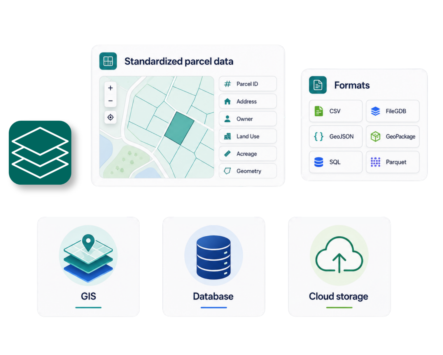
Bring standardized parcel data into your internal databases, cloud environment, GIS systems, and analytics pipelines. Choose from a range of spatial and tabular formats, with delivery options designed for recurring enterprise use.
 
Contact enterprise sales
View all file formats
File formats

Parcel data in the format your workflow needs

Regrid provides parcel data in spatial, tabular, database, and cloud-friendly formats.
Choose the option that works with your existing tools and technical environment.
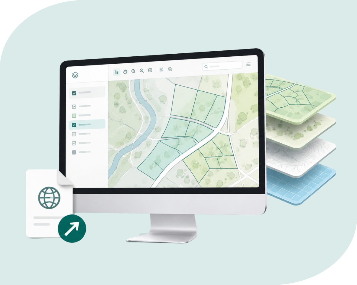
A computer screen displays a digital map with highlighted land parcels and a stacked set of layered maps on the right side.

GIS formats

Use FileGDB for Esri workflows or GeoPackage for QGIS and data interchange. Shapefile and KML are also available.
A tablet displays layered map data connected to icons representing code, documents, and databases, with a checkmark in the lower right corner.

Web and database formats

Use GeoJSON for web and JavaScript workflows, or SQL files to load parcel data into PostgreSQL databases.
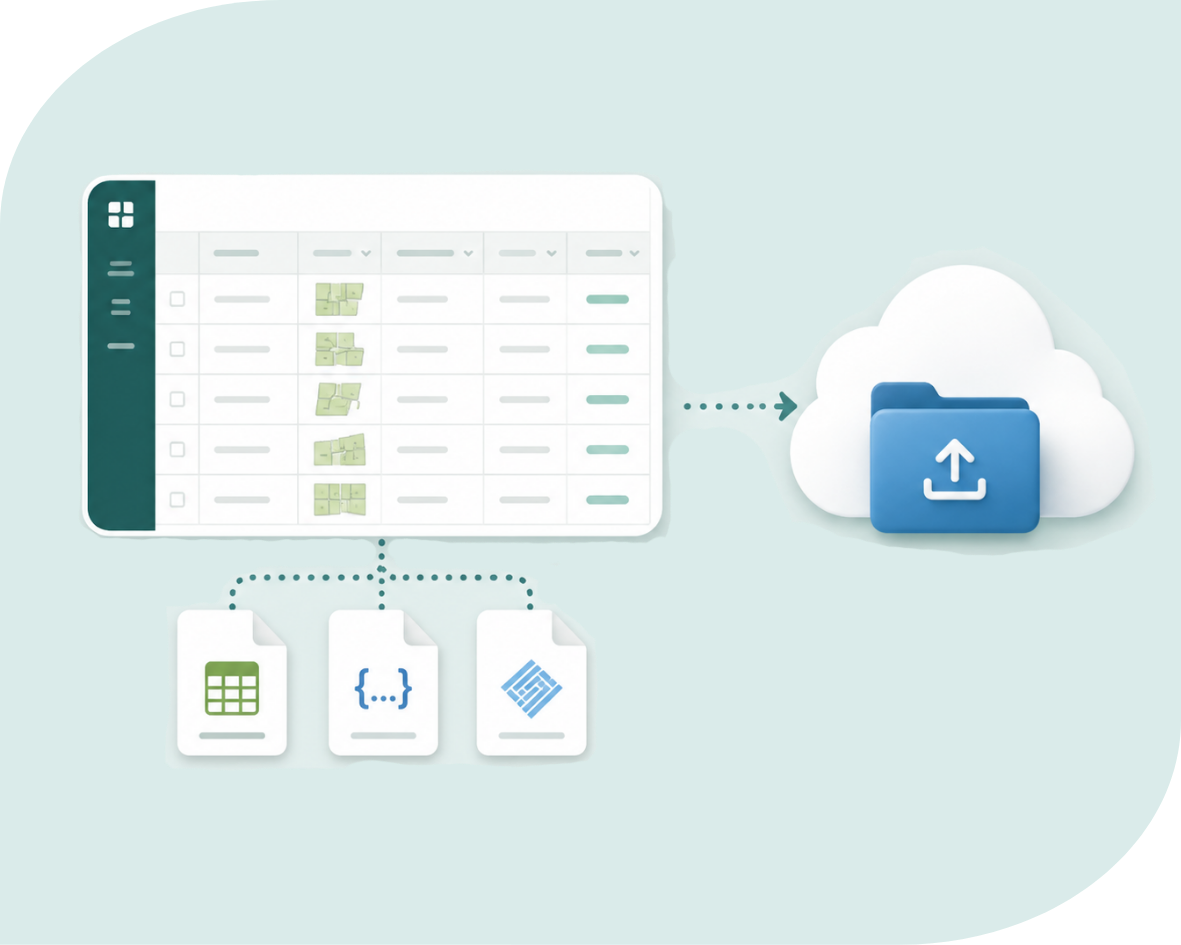
A spreadsheet interface is shown with data entries, connected by dotted lines to three file icons representing different data formats. An arrow points from the spreadsheet to a cloud icon containing a folder with an upload symbol, indicating data transfer to cloud storage.

Tabular and cloud formats

Use CSV for attributes and centroids, CSVWKT for full geometry, or Parquet for cloud-based data workflows.
Compare bulk delivery formats

Receive files through SFTP or cloud delivery

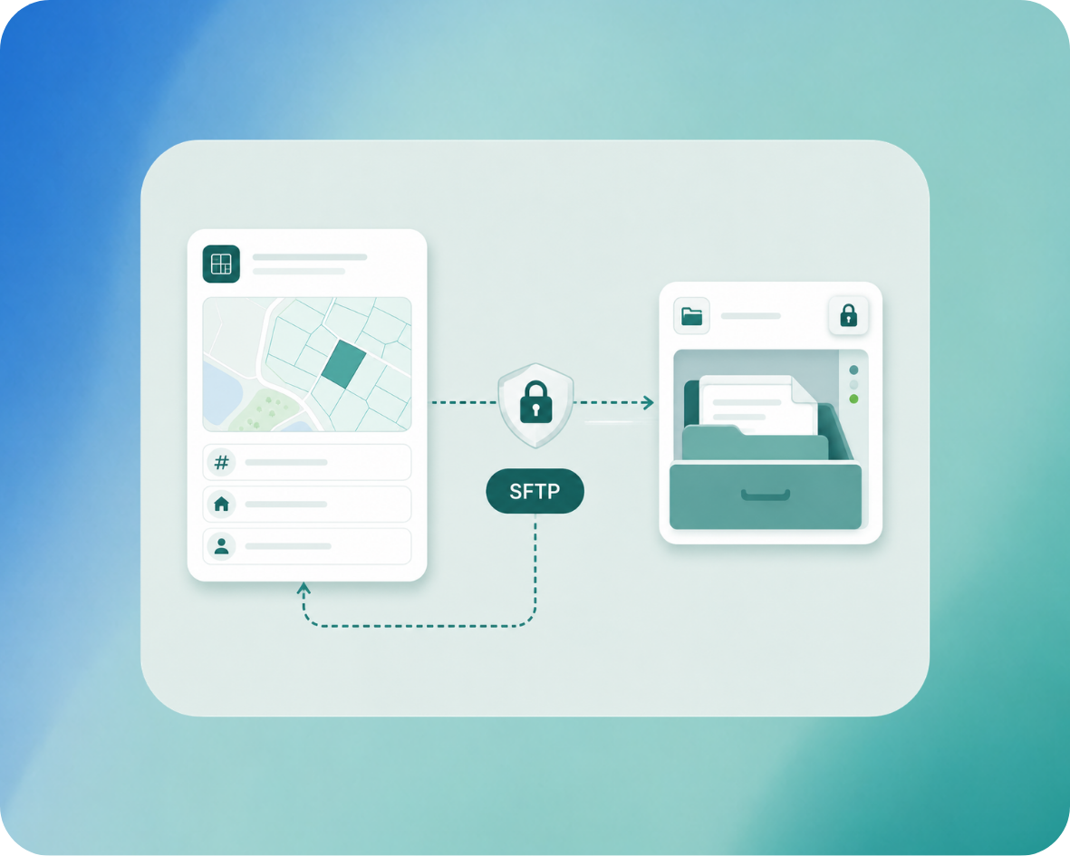
Regrid bulk files can be accessed through SFTP or delivered to supported customer cloud-storage environments.
SFTP-1

SFTP


Regrid most commonly provides bulk files through an SFTP pull process. Customers can use file-transfer software that supports SFTP to access their files.

  • Access files through Regrid’s standard pull-delivery process.
  • Connect using any SFTP-compatible file-transfer software.
  • Sign in with credentials provided by Regrid.
View SFTP setup guide
AWS

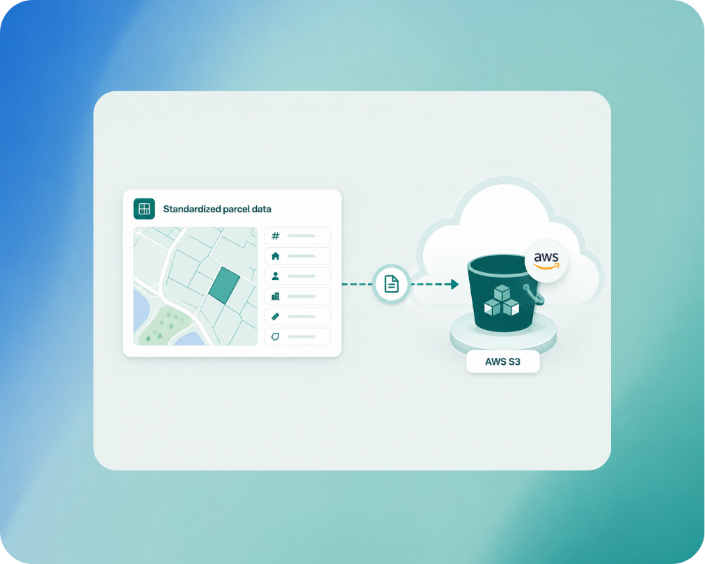
AWS S3


Regrid can push bulk data files to a customer-provided AWS S3 bucket configured for delivery.

  • Receive files in a customer-provided S3 bucket.
  • Use a dedicated bucket for licensed Regrid data.
  • Updated county files replace previous versions.
Configure AWS S3 delivery
Google cloud

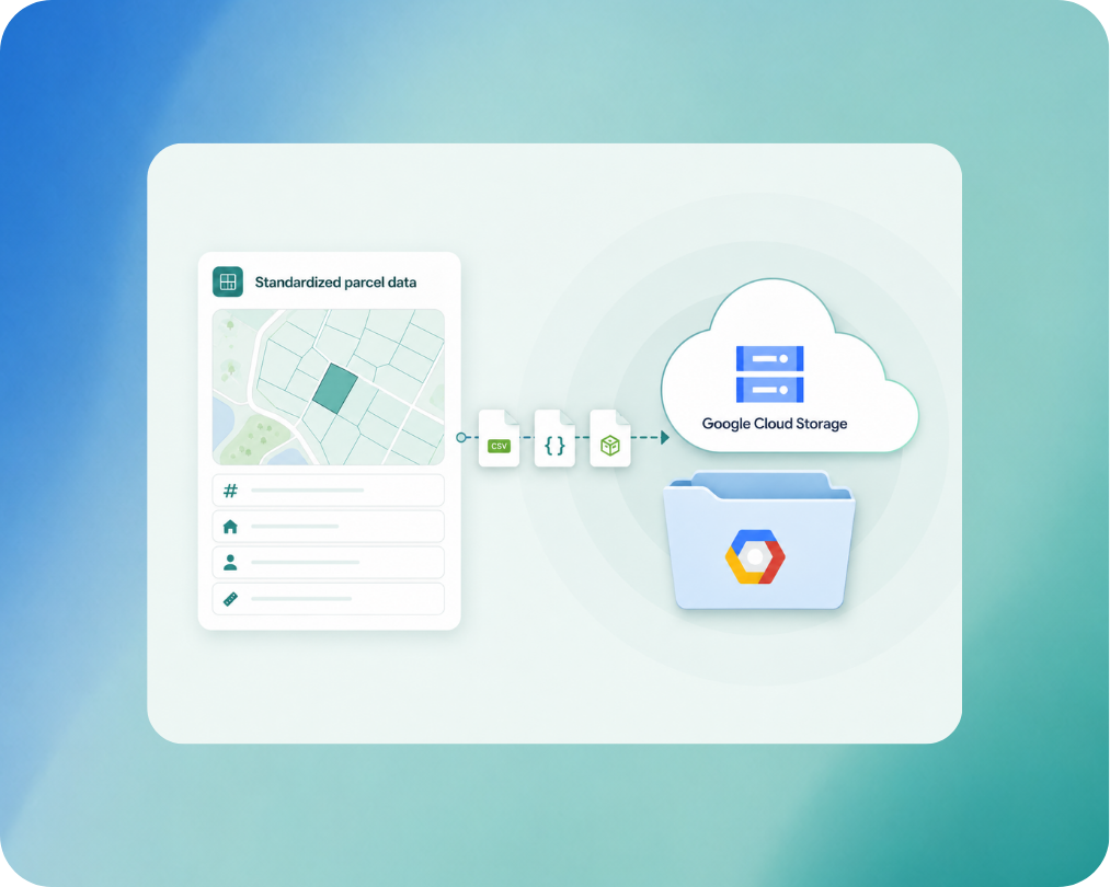
Google Cloud Storage


Regrid can also push bulk files to a customer-managed Google Cloud Storage bucket.

  • Receive files in a customer-managed storage bucket.
  • Regrid pushes the initial load and later updates.
  • Provide the required bucket and access details.
Configure Google Cloud delivery

Built for recurring data delivery

Keep recurring workflows simple with complete replacement county files whenever data is updated.

Learn about Regrid data updates

Looking for an on-demand county or state download?

Check out the Regrid Data Store For self-serve county and state downloads.

Use the Data Store when you need on-demand parcel data for your own tools and systems, without setting up an enterprise delivery.

Data store banner background-2
Shop the Data Store

Bring Regrid data into your environment

Tell us about your use case, target geography, delivery needs, and technical environment. The Regrid team can help you evaluate the data and identify the format and delivery option that fits your workflow.


*required
CREtelligent logo
Esri Logo
Autodesk logo
Langan logo
Burns & McDonnell logo
Agcor logo
Bloom Spatial logo
UC Berkeley logo
Upstream Tech logo
Crexi logo
Dycom logo
Mapbox logo
CQA logo
TomTom logo
Amazon logo
Polaris logo
United States Census Bureau logo
BCG logo

Frequently asked questions

  • Parcel data is available in CSV, CSVWKT, FileGDB, GeoJSON, GeoPackage, KML, newline-delimited GeoJSON, Shapefile, SQL, and Parquet. Available formats may differ for other Regrid datasets.

  • Schema Only files include the fields in the selected Regrid tier without county-specific custom columns. This provides a fixed number of fields and is the default configuration for bulk file delivery.

  • Yes. Standard and Premium layouts can include the custom columns supplied by individual counties. Because these fields vary by source, the number of columns can differ between counties.

  • Regrid commonly provides files through an SFTP pull process. Regrid also documents push delivery to customer-provided AWS S3 and Google Cloud Storage buckets.

  • When a county is updated, Regrid replaces the existing county file with a complete new copy. Separate difference files or parcel-level delta files are not provided.

  • Regrid generally pushes updated files to SFTP and cloud storage approximately every two weeks. Additional files may be delivered when corrections or significant improvements are made.

logo

(888) 4RE-GRID

  • Contact Us
  • Customer Support
  • Privacy Policy
  • Terms of Use
  • Cookie Preferences

Subscribe for email updates

Company

  • About Regrid
  • Careers
  • Press
  • Shop Regrid Merch

Resources

  • Coverage Map
  • Support Center
  • Reports
  • Regrid Status Page

Enterprise Solutions

  • U.S. Parcels
  • Canada Parcels
  • Parcel & Tiles API
  • Roadway Right-of-Way

Self-Serve Solutions

  • Regrid Property App
  • Shop the Data Store
  • API Monthly Plans