regrid_tm_forest
Sign In
  • Products ⌄

    Regrid premium parcel data menu icon Premium parcels

    • global-icon Global parcels
    • US Parcel Data U.S. parcels
    • Europe-icon-navigation European parcels
    • Canada Parcel Data Canadian parcels
    • map-location-pin-regrid-icon U.S. coverage map

    ai-ml-navigation-icon (1) AI and ML tools

    • mcp-server-navigation MCP Server

    roadway-row-icon_2025-1 Roadway ROW

    • roadway-row-icon_2025 U.S. roadway polygons

    Spatial add-ons menu icon Spatial add-ons

    • Matched building footprints menu icon Matched building footprints
    • Matched secondary addresses menu icon Matched secondary addresses
    • Standardized zoning menu icon Standardized zoning
    • Enhanced property ownership menu icon Daily ownership updates

    Data access icon Delivery methods

    • Bulk files icon Bulk files
    • Feature Service Feature service
    • api-icon_2025 Parcel API and tiles
    • API Sandbox icon Interactive API sandbox
  • Industries ⌄

    industries-we-serve Industries we serve

    • aec-navigation-icon Architecture, engineering, and construction (AEC)
    • re-navigation-icon Real estate
    • gov-navigation-icon Government
    • ag-navigation-icon Agriculture
    • energy-navigation-icon Renewable energy and utilities
    • telco-navigation-icon Broadband and telecommunications
    • insurance-navigation-icon Insurance and finance
    • ai-ml-navigation-icon AI and machine learning
    • transportation-navigation-icon Transportation and logistics
  • Data store
  • Property App
  • Esri users
  • Resources ⌄

    Support menu icon Support

    • Support site menu icon Support site
    • Tutorial videos menu icon Tutorial videos
    • blog_resources_icon-1 Parcel schema
    • Regrid icon Sign into the Regrid Property App

    Content menu icon Content

    • Blog menu icon Blog
    • Customer stories menu icon Customer Stories
    • Reports menu icon Reports
    • data-store-2 Coverage map

    Programs menu icon Programs

    • academia_menu-icon Nonprofit & Academia
    • Regrid giving menu icon Regrid Giving
    • dwp-navigation-icon copy Data with Purpose

    shop icon Shop

    • merch_icon_2025 Regrid Merch
  • Contact us
Contact us
  • Products ⌄

    Premium parcels

    • Global parcels
    • U.S. parcels
    • European parcels
    • Canadian parcels
    • U.S. coverage map

    Spatial add-ons

    • Matched building footprints
    • Matched secondary addresses
    • Standardized zoning
    • Daily ownership updates

    AI and ML tools

    • MCP Server

    Delivery methods

    • Bulk files
    • Feature service
    • Parcel API and tiles
    • Interactive API sandbox

    Roadway ROW

    • U.S. roadway polygons
  • Industries ⌄

    Industries we serve

    • Architecture, engineering, and construction (AEC)
    • Real estate
    • Government
    • Agriculture
    • Renewable energy and utilities
    • Broadband and telecommunications
    • Insurance and finance
    • AI and machine learning
    • Transportation and logistics
  • Data store
  • Property App
  • Esri users
  • Resources ⌄

    Support

    • Support site
    • Tutorial videos
    • Parcel schema
    • Sign into the Regrid Property App

    Programs

    • Nonprofit & Academia
    • Regrid Giving
    • Data with Purpose

    Content

    • Blog
    • Customer Stories
    • Reports
    • Coverage map

    Shop

    • Regrid Merch
  • Contact us


U.S. PARCEL DATA

Nationwide U.S. parcel data, ready for enterprise

Regrid gives teams complete U.S. parcel coverage in one reliable data structure, with flexible delivery options built for production use.

Contact enterprise sales
US parcel data coverage and delivery attributes-2

What’s included in our U.S. parcel data

Regrid brings standardized U.S. parcel boundaries and property context into one national parcel dataset, which includes:
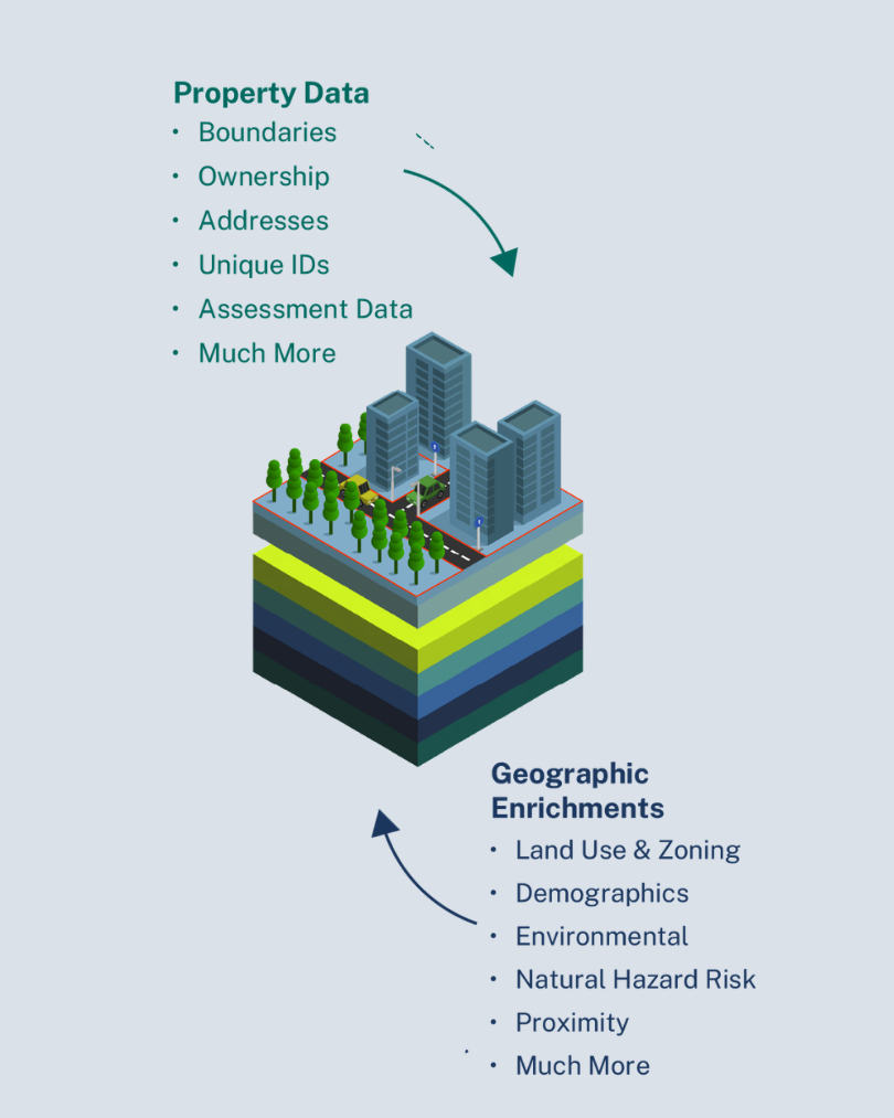
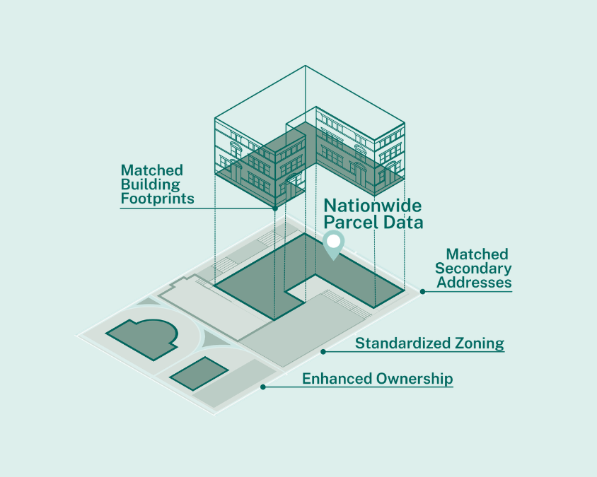
Property data and geographic enrichments listed alongside stacked data layer graphic-1

100%

US Coverage

One schema
Spatial add ons for Regrid data
land-2

Parcel boundaries


Nationwide parcel geometry standardized into one consistent structure for mapping, analysis, and integration.

 

home-address

Property attributes


Core parcel information organized in a documented schema, so teams can query, filter, and join data with confidence.

puzzle

Ownership and mailing information


Owner and mailing data to help connect properties to stakeholders, portfolios, customers, and decision-making workflows.

key

Addresses and location context


Address and site information that helps connect parcels to the places, buildings, and systems that depend on them.

 

building

Matched building footprints


Optional building footprint data matched to parcels for teams that need a clearer view of structures on the land.

quality

Secondary addresses


Additional address context for parcels with multiple units, buildings, suites, or serviceable locations.

land

Standardized zoning


Zoning data brought into a more usable structure, helping teams evaluate land use, development potential, constraints, and opportunities.

file-2

Daily ownership updates


Optional owner update workflows for teams that need to monitor ownership changes more frequently.
Why teams choose Regrid for U.S. parcel data

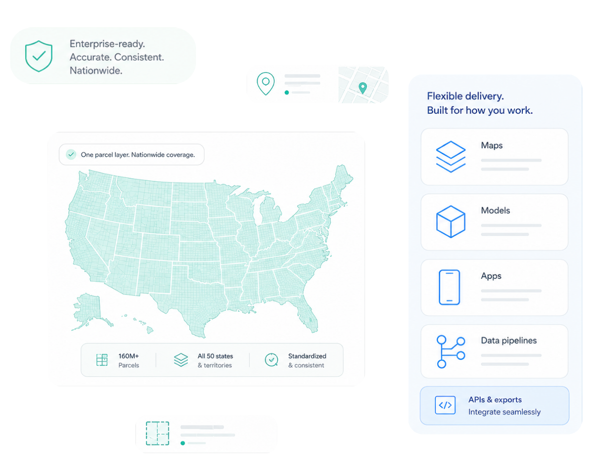
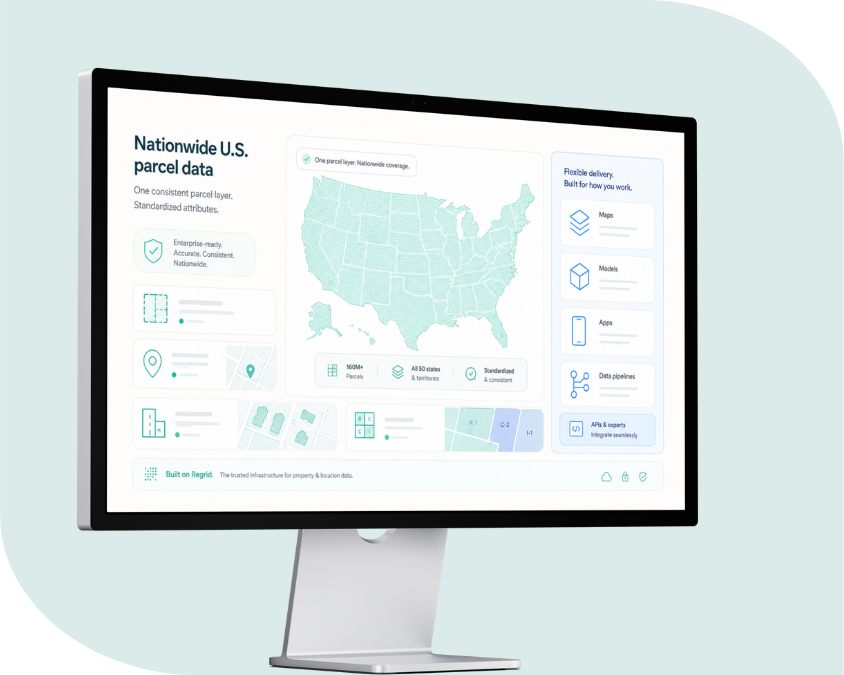
Computer screen showing Regrids nationwide parcel coverage for USA
Complete national coverage

Work from a single U.S. parcel dataset instead of sourcing, cleaning, and maintaining data county by county.

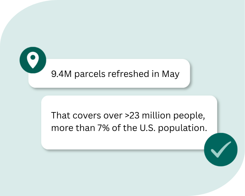
Dialogue boxes showing how many parcels were refreshed in May-1
Reliable updates

Keep your workflows current with rolling parcel data updates and clear documentation around coverage and refresh cycles.

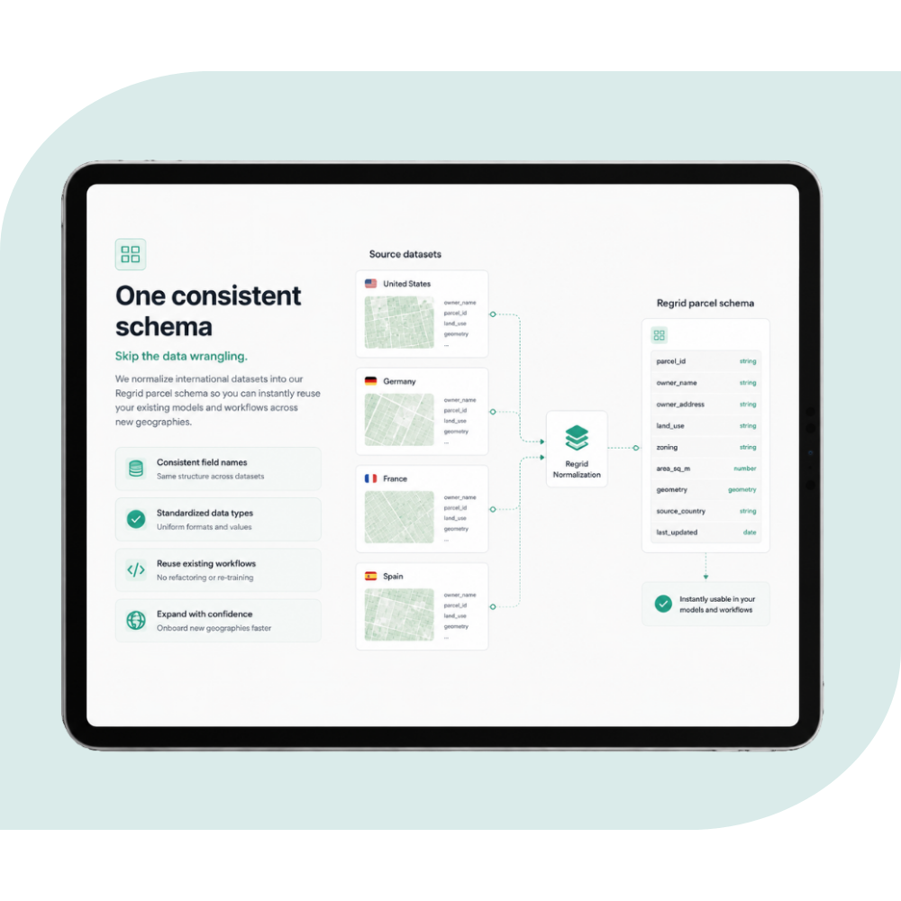
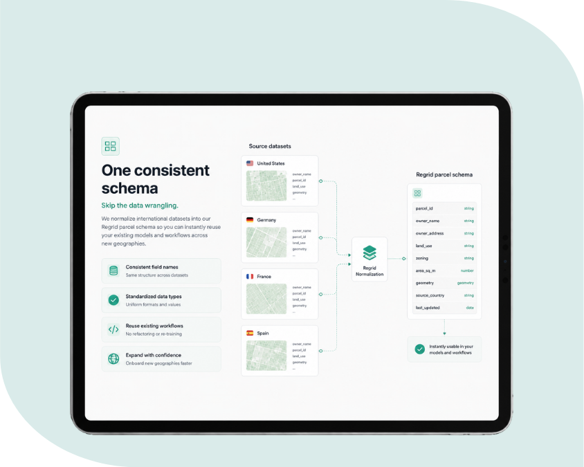
Tablet screen showing Regrids consistent schema-1
A standardized schema

Use one consistent data structure across the country, making it easier to scale analysis, applications, and internal systems.

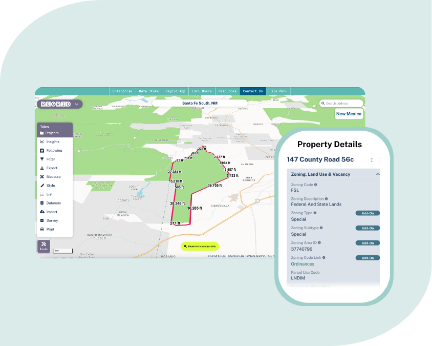
Regrid app map showing property outline and details-1
Flexible delivery

Get the data the way your team works, from bulk files and cloud workflows to APIs, tiles, and Esri-ready services.

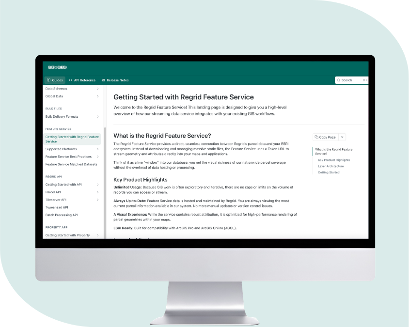
Computer screen showing Regrid documentation site-1
Enterprise-ready documentation

Access clear schema documentation, coverage resources, support materials, and data guidance to help your team evaluate and use the data with confidence.

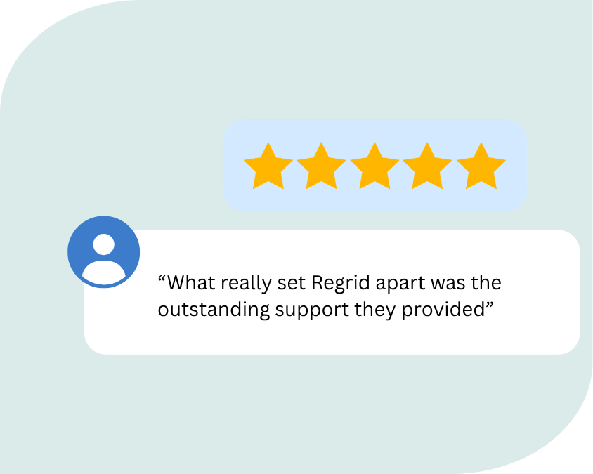
Text box showing Regrid review and five star rating-1
Support from parcel data experts

Work with a team that understands parcel data, technical implementation, and the practical challenges of bringing land data into production workflows.

Delivered the way your team works

Regrid gives you multiple ways to bring U.S. parcel data into your tools, systems, and products. We deliver the data exactly how you need it, including bulk files in any format via SFTP, cloud delivery, API, and Feature Service.

bulk files

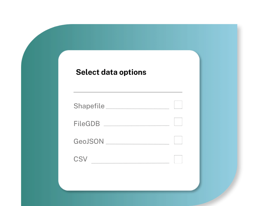
For teams that need parcel data delivered as files for internal databases, cloud workflows, GIS systems, analytics pipelines, or recurring enterprise use. Regrid bulk files are available in a range of formats, including CSV, FileGDB, GeoJSON, GeoPackage, Shapefile, SQL, and Parquet, with options designed for different technical environments.
Explore bulk file delivery

Regrid feature service

For teams that want Regrid parcel data delivered directly into Esri. The Regrid Feature Service gives Esri users a ready-to-use parcel layer that works with ArcGIS Pro, ArcGIS Online, ArcGIS SDKs, and other Esri-based workflows. Regrid hosts and serves the data, so your team can focus on using parcel intelligence instead of managing another dataset.
Explore Feature Service

Parcel API and tiles

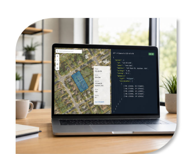
For developers, software teams, AI workflows, and data products that need parcel data on demand. Use Regrid’s API and tiles to power applications, automate lookups, run data pipelines, support search and filtering, or bring parcel context into your own products and systems.
Build with Regrid

Regrid Property App

For fast parcel lookup, saved places, notes, fieldwork, parcel tracking, and property research. Use the Property App when you want an interactive parcel research tool rather than a data delivery pipeline.
Try the API Sandbox

An easy evaluation process

Step 1. Speak with an expert

We’ll learn about your use case, target geography, delivery needs, and technical environment.

Step 2. Evaluate the data

We’ll help you assess Regrid U.S. parcel data in your own workflow, stack, or system.

Step 3. Put the data to work

If you move forward, you’ll get the data delivered in the format you need, with support from the Regrid team.
Man holding cell phone displaying Regrids number
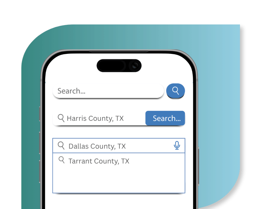
Mobile phone showing a county search Texas
Man sitting at computer screen evaluating Regrid data
Checkboxes showing data export options on a marbled blue green background
Laptop screen showing Regrid parcel API
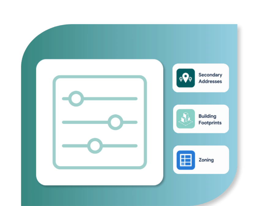
Icon of slider next to icons for premium data add ons

You're in great company

CREtelligent logo
Esri Logo
Autodesk logo
Langan logo
Burns & McDonnell logo
Agcor logo
Bloom Spatial logo
UC Berkeley logo
Upstream Tech logo
Crexi logo
Dycom logo
CQA logo
TomTom logo
Amazon logo
Polaris logo
United States Census Bureau logo
BCG logo

Contact enterprise sales

*required
logo

(888) 4RE-GRID

  • Contact Us
  • Customer Support
  • Privacy Policy
  • Terms of Use
  • Cookie Preferences

Subscribe for email updates

Company

  • About Regrid
  • Careers
  • Press
  • Shop Regrid Merch

Resources

  • Coverage Map
  • Support Center
  • Reports
  • Regrid Status Page

Enterprise Solutions

  • U.S. Parcels
  • Canada Parcels
  • Parcel & Tiles API
  • Roadway Right-of-Way

Self-Serve Solutions

  • Regrid Property App
  • Shop the Data Store
  • API Monthly Plans