


.png)


.svg)


May 2020 - Updated Puerto Rico and white label solutions
Hope you are all doing well & safe.
The LOVELAND team is back with new updates & content for you.
Let’s jump right in then.
New & Updated Puerto Rico Data:
We are thrilled to announce that we now have the most recent, 2020 data available for Puerto Rico.
Well, we’ve had Puerto Rico data for some years -- and helped develop a plan and budget for a community-driven island-wide property survey that could still come to life one day if the time is right -- however, since 2016, we were unable to get updated, refreshed data for the island.
Not anymore! We recently received the most recent & updated data for all of Puerto Rico for 2020. That’s right - straight from a PR source.
We have added 38,635 additional parcels for Puerto Rico to our dataset: that brings us up to 1,523,802 parcels in total.
We also did some basic analysis on pre & post Hurricane Maria property data in Puerto Rico.
Read all about it in our latest blog - https://landgrid.com/blog/2020puertoricodata
If you're looking for the recently updated data for all of Puerto Rico, and we know many of you are since we get asked for this a lot, email us at parcels@landgrid.com.
It’s available for download and via API.
It is also available for self-serve download on the Landgrid parcel data store: https://landgrid.com/store/us/pr
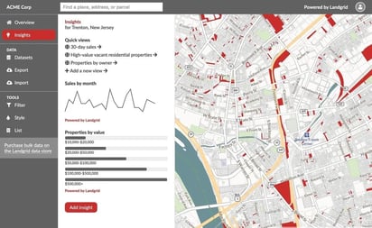
The New Landgrid Enterprise - White Label Solution
Those of you who know us well, know that the Landgrid Enterprise has always been a custom solution, made to match your every need.
We are still the same custom solution but we have taken this one step further with the new Enterprise - White Label solution.
What do we mean by White Label you ask?
Well basically, with the white label solution, you get a fully customized and branded Landgrid mapping platform for your business, organization, or project that integrates with the software you already use.
Your Enterprise account will be powered by Landgrid and supported by the Loveland team, but it will be all about YOU: your brand, your logo, your data, your audience, and your goals, all hosted at your own domain name.
Not just the desktop version, but with this, we can white label & fully customize the Landgrid survey app as well.
So essentially, you get to make our Landgrid mapping platform your OWN!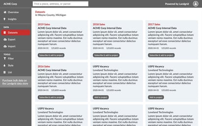
Learn more about what you get with White Label here - https://landgrid.com/enterprise
Email us at enterprise@landgrid.com if you are interested to talk to us further.
If you are unsure about your use case or feel like your problem may not be solvable by our white label solution, email us anyway and we will work with you to find the right solution.
Meanwhile, you can check out some of the more common use cases that we have come across for which White Label would be perfect solution in this blog - https://landgrid.com/blog/white-labels-and-you
Safegraph COVID-19 Data Consortium:
We recently partnered with the amazing folks at Safegraph who put together an incredible data consortium bringing together data vendors, universities and researchers from all over the world to provide free data & enable COVID-19 research work.
We are so happy that just in a matter of a week, we have been able to provide our parcel data to multiple universities across the globe for their COVID-19 related research work.
If you or someone you know could benefit from this consortium, please let us know. You can also check it out here and apply to join the consortium - https://www.safegraph.com/covid-19-data-consortium
The Talking Grid - Landgrid Webcasts & Videos!
If you have been following us on social media, then you know that we have been busy building a library of podcast style webcasts and a series of helpful tutorial videos for you. Please subscribe to our Youtube channel to get notifications when we add new videos & webcasts.
Also, while you’re on our Youtube channel, don’t forget to check out the webinar we recently did with our partners at makepath here - https://www.youtube.com/watch?v=zgT_dYBzbHM&t=1s
And to all the GIS folks out there, we have an exciting webcast coming up with Mike Dolbow, the CEO of GeoHipster on May 8th, Friday at 1 PM ET.
Register here to join us live - https://www.crowdcast.io/e/chat-with-geohipsters
Well, that brings us to the end of this month’s update. We will soon put together a content newsletter for our Landgrid Pro community where we will share the helpful content & tutorials that we tirelessly create each month.
Until we meet again, please continue to be safe & well.
And...As always, please feel free to email us at team@landgrid.com for all data & platform-related queries.
Happy Mapping!
