regrid_tm_forest
Sign In
  • Products ⌄

    Regrid premium parcel data menu icon Premium parcels

    • global-icon Global parcels
    • US Parcel Data U.S. parcels
    • Europe-icon-navigation European parcels
    • Canada Parcel Data Canadian parcels
    • map-location-pin-regrid-icon U.S. coverage map

    ai-ml-navigation-icon (1) AI and ML tools

    • mcp-server-navigation MCP Server

    roadway-row-icon_2025-1 Roadway ROW

    • roadway-row-icon_2025 U.S. roadway polygons

    Spatial add-ons menu icon Spatial add-ons

    • Matched building footprints menu icon Matched building footprints
    • Matched secondary addresses menu icon Matched secondary addresses
    • Standardized zoning menu icon Standardized zoning
    • Enhanced property ownership menu icon Daily ownership updates

    Data access icon Delivery methods

    • Bulk files icon Bulk files
    • Feature Service Feature service
    • api-icon_2025 Parcel API and tiles
    • Green icon of a shopping cart with check mark Data store
  • Industries ⌄

    industries-we-serve Industries we serve

    • aec-navigation-icon Architecture, engineering, and construction (AEC)
    • re-navigation-icon Real estate
    • gov-navigation-icon Government
    • ag-navigation-icon Agriculture
    • energy-navigation-icon Renewable energy and utilities
    • telco-navigation-icon Broadband and telecommunications
    • insurance-navigation-icon Insurance and finance
    • ai-ml-navigation-icon AI and machine learning
    • transportation-navigation-icon Transportation and logistics
  • Data store
  • Property App
  • Esri users
  • Resources ⌄

    Support menu icon Support

    • Support site menu icon Support site
    • Tutorial videos menu icon Tutorial videos
    • blog_resources_icon-1 Parcel schema
    • Regrid icon Sign into the Regrid Property App

    Content menu icon Content

    • Blog menu icon Blog
    • Customer stories menu icon Customer Stories
    • Reports menu icon Reports
    • data-store-2 Coverage map
    • Green file icon representing all resources All resources

    Programs menu icon Programs

    • Regrid giving menu icon Regrid Giving
    • dwp-navigation-icon copy Data with Purpose

    shop icon Shop

    • merch_icon_2025 Regrid Merch
  • Contact us

Contact us
  • Products ⌄

    Premium parcels

    • Global parcels
    • U.S. parcels
    • European parcels
    • Canadian parcels
    • U.S. coverage map

    Spatial add-ons

    • Matched building footprints
    • Matched secondary addresses
    • Standardized zoning
    • Daily ownership updates

    AI and ML tools

    • MCP Server

    Delivery methods

    • Bulk files
    • Feature service
    • Parcel API and tiles
    • Data store

    Roadway ROW

    • U.S. roadway polygons
  • Industries ⌄

    Industries we serve

    • Architecture, engineering, and construction (AEC)
    • Real estate
    • Government
    • Agriculture
    • Renewable energy and utilities
    • Broadband and telecommunications
    • Insurance and finance
    • AI and machine learning
    • Transportation and logistics
  • Data store
  • Property App
  • Esri users
  • Resources ⌄

    Support

    • Support site
    • Tutorial videos
    • Parcel schema
    • Sign into the Regrid Property App

    Programs

    • Regrid Giving
    • Data with Purpose

    Content

    • Blog
    • Customer Stories
    • Reports
    • Coverage map
    • All resources

    Shop

    • Regrid Merch
  • Contact us
1222 Development logo left-bound

CASE STUDY: 1222 DEVELOPMENT

Screening development sites in five minutes with parcel data

With Regrid parcel data, 1222 Development runs a five-minute first-pass in due diligence, checking parcel details and potential site constraints to decide which opportunities warrant deeper research.

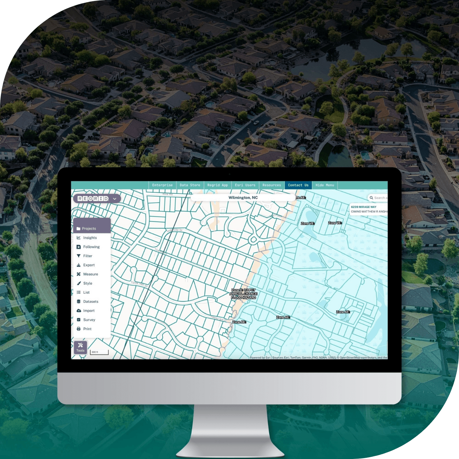
A desktop monitor displaying an aerial map interface with street grids, labels, and a left legend panel, shown over a background aerial neighborhood view.

INDUSTRY

Commercial Real Estate

REGION

Knoxville, TN

PRODUCT

Regrid Property App

WEBSITE

https://1222development.com/

Jump to:

01 Overview

02 About

03 Challenge

04 Solution

05 Results

06 Contact

CHALLENGE

For the team at 1222 Development, early site due diligence meant jumping between county GIS portals and other sources, making it slow to get a consistent first read on a parcel.

SOLUTION

One app for fast parcel context keeps early screening consistent, so the team can evaluate sites quickly and move the right opportunities forward.

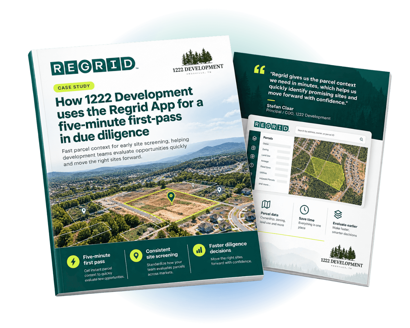
Two brochures showing a case study titled “How 1222 Development Uses the Regrid App for a Five-minute first-pass in due diligence”

"Regrid is the quickest way for me to get a real first read on a parcel. It turns early diligence into a fast, repeatable step and tells me whether a site is worth the next move."

Stefan Claar, Principal / COO, 1222 Development

ABOUT

Guiding land projects from feasibility through construction

1222 Development is a Knoxville-based land development consulting and management firm.

They help landowners and development teams move projects from feasibility and acquisition through entitlement, permitting, and horizontal construction, supported by detailed property analysis built on 90+ data points and optional LiDAR-based topo scans when needed


CHALLENGE

Every new lead meant another search across county tools

Stefan Claar is the COO and Principal of 1222 Development. His work spans all facets of land development, from acquisitions to preliminary design and site evaluation. Leads come in constantly, and each one needs a rapid triage.

At the same time, county-by-county tools are fragmented. For deeper detail he still goes to local GIS portals, but doing that from scratch for every inquiry is slow and inconsistent.

SOLUTION

Check the parcel. Spot constraints. Decide what’s next.

Stefan uses Regrid as a fast, mobile-first diligence layer to quickly screen new leads and decide whether a site is worth pursuing. In minutes, he can assess key constraints like wetlands, streams, and flood risk, then share a clearer initial view with clients or his team.

When a site looks promising, Regrid helps him move from a quick scan to deeper research faster, with direct links to relevant ordinances and built-in insights like demographics, population density, and housing affordability to support site packages—especially for multifamily.


“For what I do, I can see everything I need to see in five minutes, and Regrid is four of those five.”

— Stefan Claar

RESULTS

Faster site screening. Deeper diligence with less effort.

Regrid made Stefan’s diligence process faster and easier to repeat across counties. “It’s incredibly more efficient with Regrid,” he said. Instead of postponing early research because it is hard to assemble, he can get a clearer overview with less effort. “It has made the diligence that we do deeper with less effort.”

Regrid is now a daily tool for Stefan and his team. “We use it every day.” And when he shares it in meetings, the product experience sells itself. 

“Every time I pull up Regrid, people are like ‘what is that… what program do you use?’ and like nine of ten of them will subscribe because it just feels and works so much better than most.”

— Stefan Claar


See how Regrid has helped others

View all case studies
CREtelligent logo
Esri Logo
Autodesk logo
Langan logo
Burns & McDonnell logo
Agcor logo
Bloom Spatial logo
UC Berkeley logo
Upstream Tech logo
Crexi logo
Dycom logo
CQA logo
TomTom logo
Amazon logo
Polaris logo
United States Census Bureau logo
BCG logo

Let's explore what parcel data can do for you

Tell us a bit about your parcel data needs, and we’ll help you find the right coverage, delivery method, and product fit for your workflow.
*required
logo

(888) 4RE-GRID

  • Contact us
  • Customer support
  • Privacy policy
  • Terms of use
  • Cookie Preferences

Subscribe for email updates

Company

  • About Regrid
  • Careers
  • Press
  • Shop Regrid merch

Resources

  • Coverage map
  • Support center
  • Reports
  • Regrid status page

Enterprise Solutions

  • U.S. parcels
  • Canada parcels
  • Europe parcels
  • Parcel and tiles API
  • Roadway Right-of-Way

Self-serve solutions

  • Regrid Property App
  • Shop the Data Store
  • API monthly plans