regrid_tm_forest
Sign In
  • Products ⌄

    Regrid premium parcel data menu icon Premium parcels

    • global-icon Global parcels
    • US Parcel Data U.S. parcels
    • Europe-icon-navigation European parcels
    • Canada Parcel Data Canadian parcels
    • map-location-pin-regrid-icon U.S. coverage map

    ai-ml-navigation-icon (1) AI and ML tools

    • mcp-server-navigation MCP Server

    roadway-row-icon_2025-1 Roadway ROW

    • roadway-row-icon_2025 U.S. roadway polygons

    Spatial add-ons menu icon Spatial add-ons

    • Matched building footprints menu icon Matched building footprints
    • Matched secondary addresses menu icon Matched secondary addresses
    • Standardized zoning menu icon Standardized zoning
    • Enhanced property ownership menu icon Daily ownership updates

    Data access icon Delivery methods

    • Bulk files icon Bulk files
    • Feature Service Feature service
    • api-icon_2025 Parcel API and tiles
    • Green icon of a shopping cart with check mark Data store
  • Industries ⌄

    industries-we-serve Industries we serve

    • aec-navigation-icon Architecture, engineering, and construction (AEC)
    • re-navigation-icon Real estate
    • gov-navigation-icon Government
    • ag-navigation-icon Agriculture
    • energy-navigation-icon Renewable energy and utilities
    • telco-navigation-icon Broadband and telecommunications
    • insurance-navigation-icon Insurance and finance
    • ai-ml-navigation-icon AI and machine learning
    • transportation-navigation-icon Transportation and logistics
  • Data store
  • Property App
  • Esri users
  • Resources ⌄

    Support menu icon Support

    • Support site menu icon Support site
    • Tutorial videos menu icon Tutorial videos
    • blog_resources_icon-1 Parcel schema
    • Regrid icon Sign into the Regrid Property App

    Content menu icon Content

    • Blog menu icon Blog
    • Customer stories menu icon Customer Stories
    • Reports menu icon Reports
    • data-store-2 Coverage map
    • Green file icon representing all resources All resources

    Programs menu icon Programs

    • Regrid giving menu icon Regrid Giving
    • dwp-navigation-icon copy Data with Purpose

    shop icon Shop

    • merch_icon_2025 Regrid Merch
  • Contact us

Contact us
  • Products ⌄

    Premium parcels

    • Global parcels
    • U.S. parcels
    • European parcels
    • Canadian parcels
    • U.S. coverage map

    Spatial add-ons

    • Matched building footprints
    • Matched secondary addresses
    • Standardized zoning
    • Daily ownership updates

    AI and ML tools

    • MCP Server

    Delivery methods

    • Bulk files
    • Feature service
    • Parcel API and tiles
    • Data store

    Roadway ROW

    • U.S. roadway polygons
  • Industries ⌄

    Industries we serve

    • Architecture, engineering, and construction (AEC)
    • Real estate
    • Government
    • Agriculture
    • Renewable energy and utilities
    • Broadband and telecommunications
    • Insurance and finance
    • AI and machine learning
    • Transportation and logistics
  • Data store
  • Property App
  • Esri users
  • Resources ⌄

    Support

    • Support site
    • Tutorial videos
    • Parcel schema
    • Sign into the Regrid Property App

    Programs

    • Regrid Giving
    • Data with Purpose

    Content

    • Blog
    • Customer Stories
    • Reports
    • Coverage map
    • All resources

    Shop

    • Regrid Merch
  • Contact us
Agcor logo white

CASE STUDY | FINANCIAL SERVICES

How Agcor uses Regrid parcel data to support smarter agricultural lending decisions

Discover how Agcor combines nationwide parcel data with agricultural and market insights to help lenders evaluate properties, assess risk, and make informed lending decisions.

Contact enterprise sales
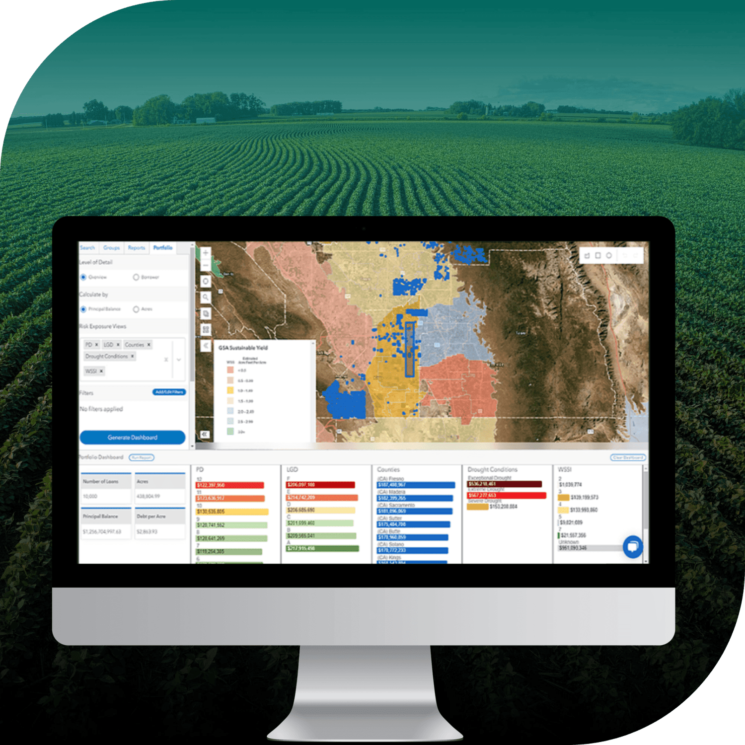
Computer screen showing Agcor dashboard overlaid on background of agricultural fields

INDUSTRY

Financial Services

REGION

USA, Nationwide

PRODUCT

Enterprise Data

WEBSITE

https://agcor.io/

Jump to:

01 Overview

02 About

03 Challenge

04 Solution

05 Results

06 Contact

CHALLENGE

Agcor needed comprehensive, consistent nationwide parcel data with essential property details, including parcel identifiers, ownership information, and legal descriptions, to support agricultural lending decisions.

SOLUTION

With Regrid's nationwide parcel data, Agcor gives lending teams a reliable foundation for evaluating agricultural properties alongside environmental, borrower, and market information, supporting more informed lending decisions and risk assessments.

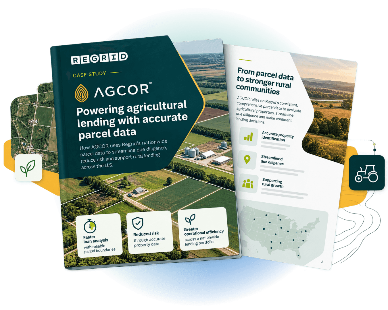
Agcor case study cover page

"Regrid’s data was more comprehensive and uniform than data from other providers we looked at."

Data & GIS Manager, Agcor

ABOUT

Helping agricultural lenders evaluate properties and understand risk

Agcor provides tools and data that help agricultural lending teams evaluate properties and make informed financing decisions.

By bringing together property and borrower information with agricultural, environmental, and market data, Agcor helps lenders better understand the characteristics, value, and potential risks associated with agricultural properties.

CHALLENGE

Finding comprehensive, consistent parcel data for nationwide agricultural lending

Agricultural lending decisions depend on a clear understanding of the property being financed. Beyond assessing borrowers, lenders need reliable information about the land itself to evaluate collateral value and potential risks.

For Agcor, this meant finding a nationwide parcel data provider that could deliver consistent coverage and the specific property attributes required for lending workflows, including Assessor's Parcel Numbers (APNs), property ownership details, and legal descriptions.

With agricultural properties spread across different jurisdictions, Agcor needed a uniform data foundation that could support property evaluation at scale and complement the additional datasets used in its lending workflows.

SOLUTION

Regrid provides a consistent parcel data foundation for agricultural lending

Agcor selected Regrid for its comprehensive nationwide parcel coverage and consistent data structure, providing the property information needed to support agricultural loan evaluations.

Regrid's parcel data serves as a foundational public-record dataset within Agcor's lending workflows, giving loan officers access to essential property details alongside borrower information.

By combining parcel data with additional information about water use, soil quality, climate factors, and market conditions, Agcor enables lending teams to build a more complete picture of the properties they are evaluating.

This integrated approach helps loan officers consider both property characteristics and broader agricultural risks when assessing land as collateral.

RESULTS

Better property insights support informed lending decisions and risk assessments

With Regrid's nationwide parcel data integrated into its workflows, Agcor provides lending teams with the information they need to evaluate agricultural properties more effectively.

Loan officers can review property locations and borrower details alongside environmental and market information, helping them better understand factors that may influence land value and lending risk.

Consistent access to parcel identifiers, ownership records, and legal descriptions also supports the property documentation and regulatory compliance needs associated with agricultural lending.

By establishing a reliable parcel data foundation, Agcor helps lending teams make more informed decisions about property value, collateral, and risk, while supporting more efficient underwriting workflows.


See how Regrid has helped others

View all case studies
CREtelligent logo
Esri Logo
Autodesk logo
Langan logo
Burns & McDonnell logo
Agcor logo
Bloom Spatial logo
UC Berkeley logo
Upstream Tech logo
Crexi logo
Dycom logo
CQA logo
TomTom logo
Amazon logo
Polaris logo
United States Census Bureau logo
BCG logo

Let's explore what parcel data can do for you

Tell us a bit about your parcel data needs, and we’ll help you find the right coverage, delivery method, and product fit for your workflow.
*required
logo

(888) 4RE-GRID

  • Contact us
  • Customer support
  • Privacy policy
  • Terms of use
  • Cookie Preferences

Subscribe for email updates

Company

  • About Regrid
  • Careers
  • Press
  • Shop Regrid merch

Resources

  • Coverage map
  • Support center
  • Reports
  • Regrid status page

Enterprise Solutions

  • U.S. parcels
  • Canada parcels
  • Europe parcels
  • Parcel and tiles API
  • Roadway Right-of-Way

Self-serve solutions

  • Regrid Property App
  • Shop the Data Store
  • API monthly plans