
-
Products ⌄
 Premium parcels
 AI and ML tools
 Roadway ROW
 Spatial add-ons
 Delivery methods
- Industries ⌄
- Data store
- Property App
- Esri users
- Resources ⌄
- Contact us
































-
Products ⌄
AI and ML tools
Roadway ROW
-
Industries ⌄
-
Resources ⌄

CASE STUDY | MEDIA AND ADVERTISING
How Advocacy Marketing Partners uses Regrid for precise, property-level public outreach
Discover how AMP uses parcel mapping and filtering to identify properties within defined project areas, build targeted mailing lists, and support cost-effective public notifications.
INDUSTRY
Media and Advertising
REGION
USA, Nationwide
PRODUCT
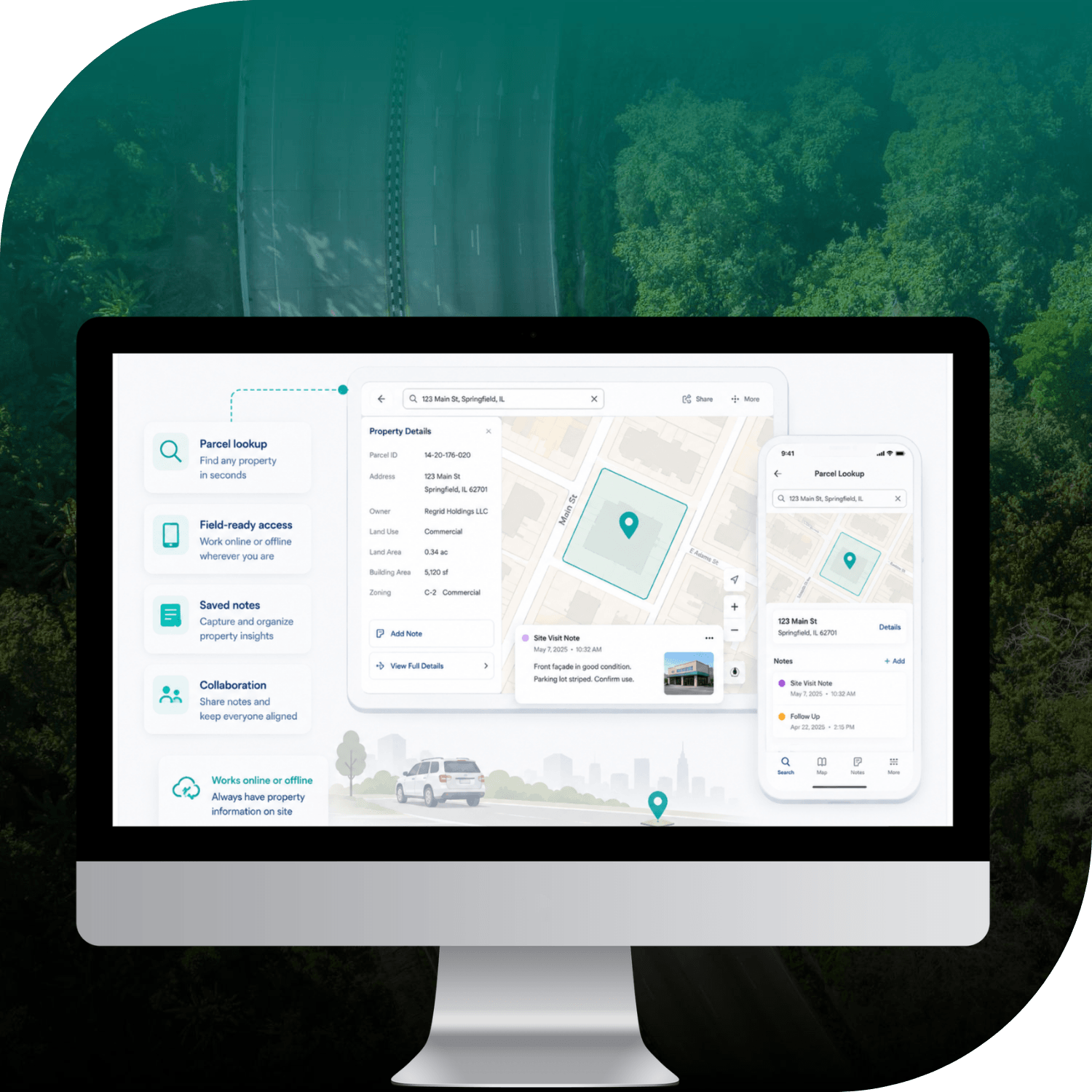
Property App
CHALLENGE
Advocacy Marketing Partners needed a reliable way to identify properties within precisely defined project areas. Traditional postal routes lacked the required geographic precision, while local government parcel data tools varied significantly between jurisdictions.
SOLUTION
With the Regrid Property App, AMP can select properties within specific geographic boundaries, filter out unnecessary records, and export property and mailing addresses to create more precise, cost-effective outreach lists.
ABOUT
Helping organisations reach the right audiences through targeted public affairs communications
Advocacy Marketing Partners (AMP) is a public affairs communications business specialising in targeted outreach for organisations, industry groups, and public-sector initiatives.
Its work includes supporting engineering firms that need to notify residents and property owners about infrastructure projects under state and federal Department of Transportation (DOT) requirements.
Vice President Max Hunsaker uses Regrid to identify properties within precisely defined geographic areas and generate targeted mailing lists for projects with specific public notification requirements.
CHALLENGE
Traditional mailing methods couldn't deliver the geographic precision required
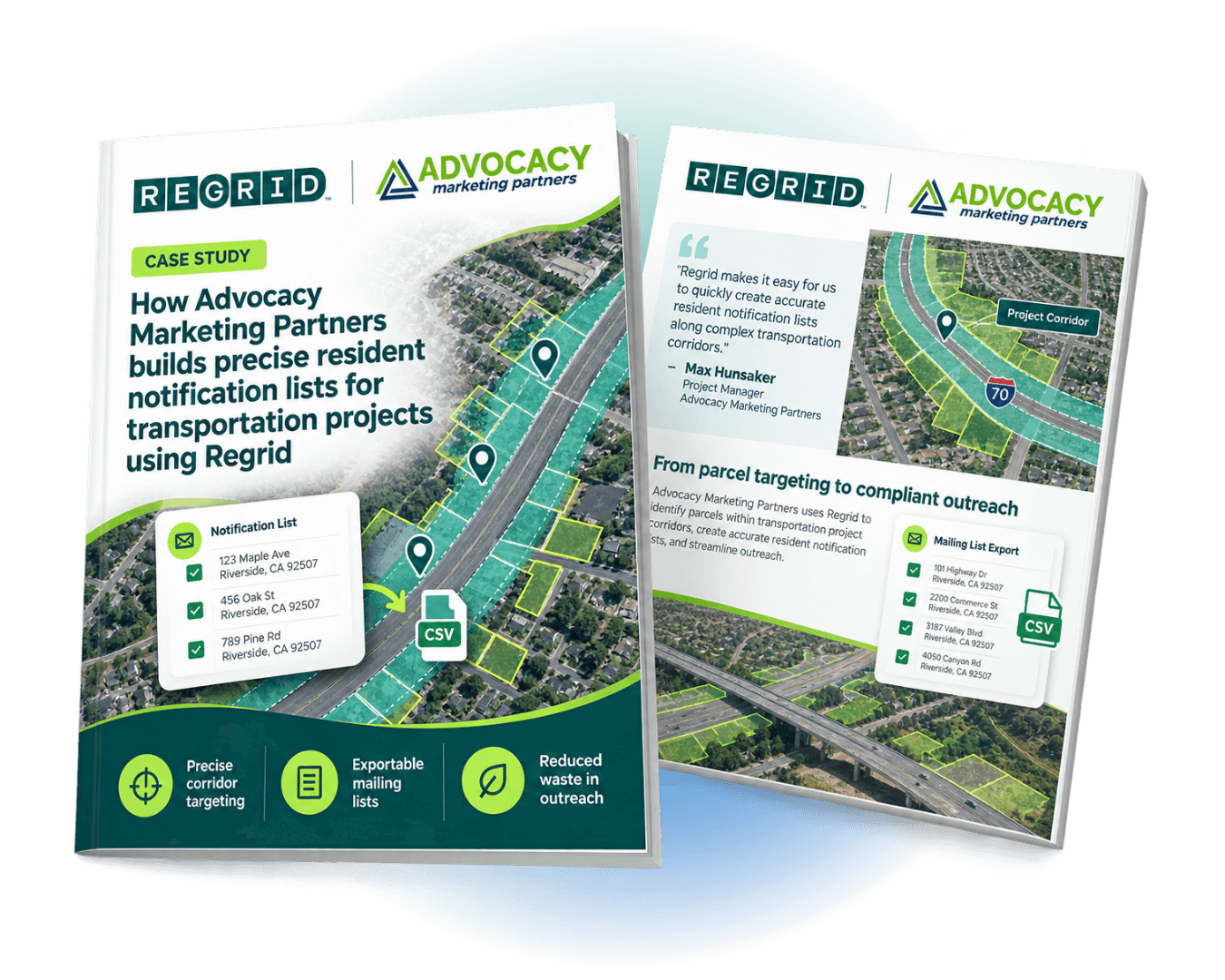
For certain infrastructure projects, engineering firms must notify residents and property owners within specific geographic boundaries. These requirements can be highly precise, such as identifying properties within half a mile of a highway along a 17-mile project corridor.
Traditional mailing solutions aren't always suited to this level of targeting. USPS carrier routes can extend beyond the required notification area, making it difficult to isolate the intended recipients without including unnecessary addresses.
Local government parcel data presents another challenge. Mapping, selection, and export capabilities vary significantly between jurisdictions, and some counties don't offer straightforward ways to extract the required property records.
AMP needed a more consistent, precise way to identify affected properties, build accurate mailing lists, and minimise unnecessary outreach costs.
“What made Regrid necessary for us was that the data that's otherwise available varies greatly from jurisdiction to jurisdiction.”
— Max Hunsaker
SOLUTION
Parcel-level mapping and filtering for more precise public notification lists
AMP uses the Regrid Property App to identify parcels within designated project areas and create targeted mailing lists.
Using Regrid's interactive mapping tools, Max can select properties within a specified geographic area and apply filters to refine the results. The vacancy indicator is particularly useful, allowing him to exclude records that would otherwise be removed during subsequent data cleansing.
Once the selection is complete, he exports the records as a CSV file for further processing and mailing list preparation.
Two property attributes are especially important: the physical property address and the secondary mailing address. Together, these help AMP reach relevant recipients, including property owners whose mailing addresses differ from the properties they own.
By combining parcel-level mapping, filtering, and address information in one platform, Regrid provides a more practical alternative to relying on postal routes or navigating different county data systems.
RESULTS
More targeted outreach, less wasted effort, and better value for clients
With Regrid, AMP can build more precisely targeted public notification lists, even when projects span jurisdictions with different parcel data tools and capabilities.
The ability to select properties geographically and filter unnecessary records helps AMP focus outreach on the intended recipients, reducing potentially wasted mailings and unnecessary data processing.
Regrid also provides a consistent way to access parcel information across different locations, making it easier to support projects with complex geographic requirements.
For AMP's clients, the value goes beyond access to property data. More refined targeting helps them meet project-specific notification requirements while managing the overall costs of public outreach.
“What I'm paying for is more refined data. [...] It costs more, but the value is worth it because ultimately our clients will pay less for their project.”
— Max Hunsaker
By combining reliable parcel information with flexible mapping and filtering tools, Regrid enables AMP to deliver targeted communications that would be difficult to achieve through traditional carrier-route mailing or inconsistent local government data systems alone.
See how Regrid has helped others


















(888) 4RE-GRID
Subscribe for email updates