regrid_tm_forest
Sign In
  • Products ⌄

    Regrid premium parcel data menu icon Premium parcels

    • global-icon Global parcels
    • US Parcel Data U.S. parcels
    • Europe-icon-navigation European parcels
    • Canada Parcel Data Canadian parcels
    • map-location-pin-regrid-icon U.S. coverage map

    ai-ml-navigation-icon (1) AI and ML tools

    • mcp-server-navigation MCP Server

    roadway-row-icon_2025-1 Roadway ROW

    • roadway-row-icon_2025 U.S. roadway polygons

    Spatial add-ons menu icon Spatial add-ons

    • Matched building footprints menu icon Matched building footprints
    • Matched secondary addresses menu icon Matched secondary addresses
    • Standardized zoning menu icon Standardized zoning
    • Enhanced property ownership menu icon Daily ownership updates

    Data access icon Delivery methods

    • Bulk files icon Bulk files
    • Feature Service Feature service
    • api-icon_2025 Parcel API and tiles
    • Green icon of a shopping cart with check mark Data store
  • Industries ⌄

    industries-we-serve Industries we serve

    • aec-navigation-icon Architecture, engineering, and construction (AEC)
    • re-navigation-icon Real estate
    • gov-navigation-icon Government
    • ag-navigation-icon Agriculture
    • energy-navigation-icon Renewable energy and utilities
    • telco-navigation-icon Broadband and telecommunications
    • insurance-navigation-icon Insurance and finance
    • ai-ml-navigation-icon AI and machine learning
    • transportation-navigation-icon Transportation and logistics
  • Data store
  • Property App
  • Esri users
  • Resources ⌄

    Support menu icon Support

    • Support site menu icon Support site
    • Tutorial videos menu icon Tutorial videos
    • blog_resources_icon-1 Parcel schema
    • Regrid icon Sign into the Regrid Property App

    Content menu icon Content

    • Blog menu icon Blog
    • Customer stories menu icon Customer Stories
    • Reports menu icon Reports
    • data-store-2 Coverage map
    • Green file icon representing all resources All resources

    Programs menu icon Programs

    • Regrid giving menu icon Regrid Giving
    • dwp-navigation-icon copy Data with Purpose

    shop icon Shop

    • merch_icon_2025 Regrid Merch
  • Contact us
Contact us
  • Products ⌄

    Premium parcels

    • Global parcels
    • U.S. parcels
    • European parcels
    • Canadian parcels
    • U.S. coverage map

    Spatial add-ons

    • Matched building footprints
    • Matched secondary addresses
    • Standardized zoning
    • Daily ownership updates

    AI and ML tools

    • MCP Server

    Delivery methods

    • Bulk files
    • Feature service
    • Parcel API and tiles
    • Data store

    Roadway ROW

    • U.S. roadway polygons
  • Industries ⌄

    Industries we serve

    • Architecture, engineering, and construction (AEC)
    • Real estate
    • Government
    • Agriculture
    • Renewable energy and utilities
    • Broadband and telecommunications
    • Insurance and finance
    • AI and machine learning
    • Transportation and logistics
  • Data store
  • Property App
  • Esri users
  • Resources ⌄

    Support

    • Support site
    • Tutorial videos
    • Parcel schema
    • Sign into the Regrid Property App

    Programs

    • Regrid Giving
    • Data with Purpose

    Content

    • Blog
    • Customer Stories
    • Reports
    • Coverage map
    • All resources

    Shop

    • Regrid Merch
  • Contact us
Autodesk logo

CASE STUDY: AUTODESK

Bringing parcel data directly into early-stage design

With Regrid’s Parcel API, Autodesk Forma lets users draw their project area and fetch the parcels they need, reducing manual file handling and simplifying project setup.
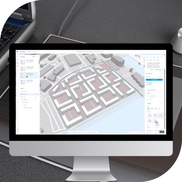
Computer screen showing Autodesk software-2

INDUSTRY

Technology and data

REGION

Multinational

PRODUCT

Regrid Parcel API

WEBSITE

https://www.autodesk.com/

Jump to:

01 Overview

02 About

03 Challenge

04 Solution

05 Results

06 Contact

CHALLENGE

Autodesk Forma needed parcel geometry as a core geolocalized dataset so users could avoid hours of traditional file-based workflows.

SOLUTION

By fetching parcels via Regrid’s parcel API based on a user-drawn polygon, Autodesk enabled users to order precise parcel data for exactly the area they need, supporting adoption of Forma.
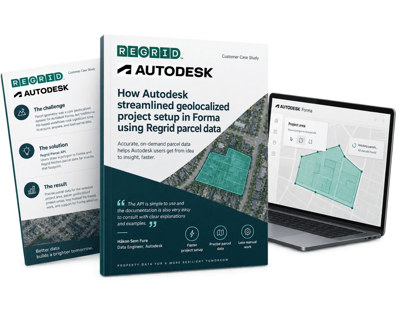
Autodesk case study-2

"The Regrid API is simple to use and the documentation is also very easy to consult with clear explanations and examples."

Håkon Sem Fure, Data Engineer, Autodesk

"We are fetching parcels over HTTP API based on a polygon drawn by the user. This fits our vision of users being able to order data in exactly the area that they want."

Håkon Sem Fure, Data Engineer, Autodesk

ABOUT

Giving designers a faster start in Forma.

Autodesk builds design and engineering software used across the built environment. Within Autodesk, Forma helps users automate the setup of geolocalized project data, reducing manual, file-based steps and accelerating early-stage planning workflows.

CHALLENGE

Essential parcel data, hours of manual setup.

One of Forma’s goals is to automatically set up key types of geolocalized data in a project, saving users significant time compared to traditional file-based workflows.

Parcel geometry, in particular, is an essential dataset that “almost every Forma user needs,” making it a must-have for supporting real user workflows inside the platform.

SOLUTION

Draw the project area. Bring in the parcels.

Autodesk chose Regrid’s parcel data solution and integrated it into Forma using an HTTP API workflow that matches their product vision: users draw a polygon to define their area of interest, and Forma fetches parcels for that exact footprint.

This approach lets users order the right data for the right place, and re-fetch it over time if parcel data updates during a project timeline.

From Autodesk’s perspective, implementation was straightforward thanks to clear documentation and examples, making it easier to adopt the API quickly and reliably.

"We are fetching parcels over HTTP API based on a polygon drawn by the user. This fits our vision of users being able to order data in exactly the area that they want."

- Håkon Sem Fure, Data Engineer, Autodesk

RESULTS

Less file handling. More time for planning.

With Regrid powering parcel geometry in Forma, Autodesk can provide users with precise parcel data aligned to their project area, supporting more relevant geolocalized setup and reducing the need for manual file-based processes.

While ROI is indirect because Regrid is one component within a broader platform, Autodesk noted that not having parcels would be a clear blocker for certain users, making parcel availability a driver of Forma adoption.


See how Regrid has helped others

View all case studies
CREtelligent logo
Esri Logo
Autodesk logo
Langan logo
Burns & McDonnell logo
Agcor logo
Bloom Spatial logo
UC Berkeley logo
Upstream Tech logo
Crexi logo
Dycom logo
CQA logo
TomTom logo
Amazon logo
Polaris logo
United States Census Bureau logo
BCG logo

Let's explore what parcel data can do for you

Tell us a bit about your parcel data needs, and we’ll help you find the right coverage, delivery method, and product fit for your workflow.
*required
logo

(888) 4RE-GRID

  • Contact us
  • Customer support
  • Privacy policy
  • Terms of use
  • Cookie Preferences

Subscribe for email updates

Company

  • About Regrid
  • Careers
  • Press
  • Shop Regrid merch

Resources

  • Coverage map
  • Support center
  • Reports
  • Regrid status page

Enterprise Solutions

  • U.S. parcels
  • Canada parcels
  • Europe parcels
  • Parcel and tiles API
  • Roadway Right-of-Way

Self-serve solutions

  • Regrid Property App
  • Shop the Data Store
  • API monthly plans