
-
Products ⌄
 Premium parcels
.png) AI and ML tools
AI and ML tools
 Roadway ROW
 Spatial add-ons
 Delivery methods
- Industries ⌄
- Data store
- Property App
- Esri users
- Resources ⌄
- Contact us









.svg)

.png)





















.png)



.png)

-
Products ⌄
AI and ML tools
Roadway ROW
-
Industries ⌄
-
Resources ⌄

CASE STUDY: BLOOM SPATIAL
Connecting vegetation risk to the parcels and people along the line
With Regrid’s nationwide parcel data, Bloom Spatial helps electric co-ops plan tree work and notify landowners, while scaling into new territories through a single API.
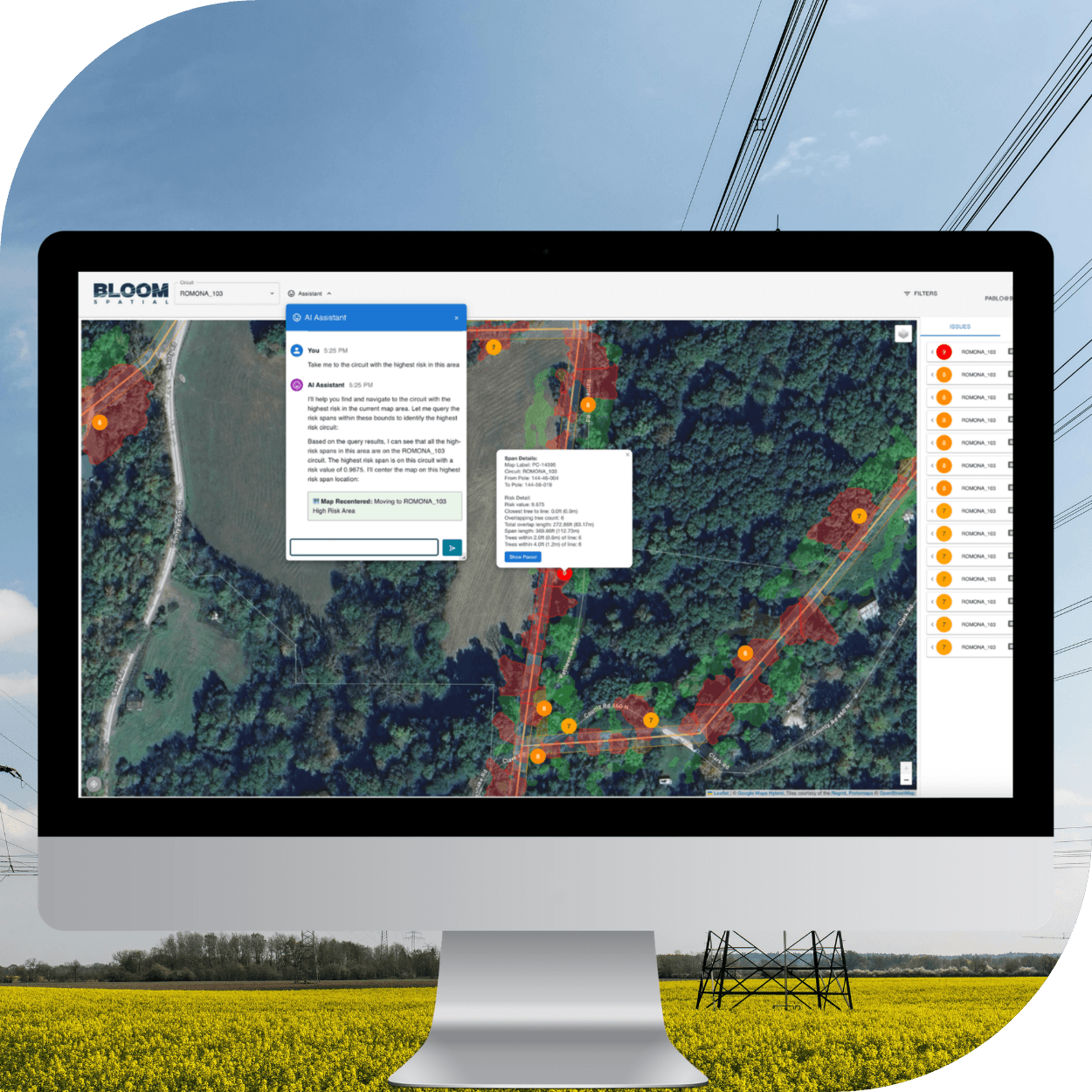
Overview
A stretch of power line may cross dozens of properties. Before tree work begins, electric co-ops need to know whose land is involved and which members to notify.
Bloom Spatial connects vegetation risk with parcel boundaries and ownership details, giving planners and field crews the context they need.
In this case study, you’ll learn how Bloom:
-
-
- Brings parcel and ownership data into everyday vegetation workflows
- Supports co-ops across counties and states through one API
- Keeps their team focused on product development instead of maintaining parcel data
-
Fill out the form for instant access to the full case study.


















(888) 4RE-GRID
Subscribe for email updates