
-
Products ⌄
 Premium parcels
 AI and ML tools
 Roadway ROW
 Spatial add-ons
 Delivery methods
- Industries ⌄
- Data store
- Property App
- Esri users
- Resources ⌄
- Contact us
































-
Products ⌄
AI and ML tools
Roadway ROW
-
Industries ⌄
-
Resources ⌄

CASE STUDY | RESEARCH & EDUCATION
How Boston University researchers used Regrid to uncover $187 billion in hidden flood risk
Discover how Boston University's Places Lab used nationwide parcel data to connect flood models with residential property values, revealing overlooked financial risks across the U.S. housing market.
CHALLENGE
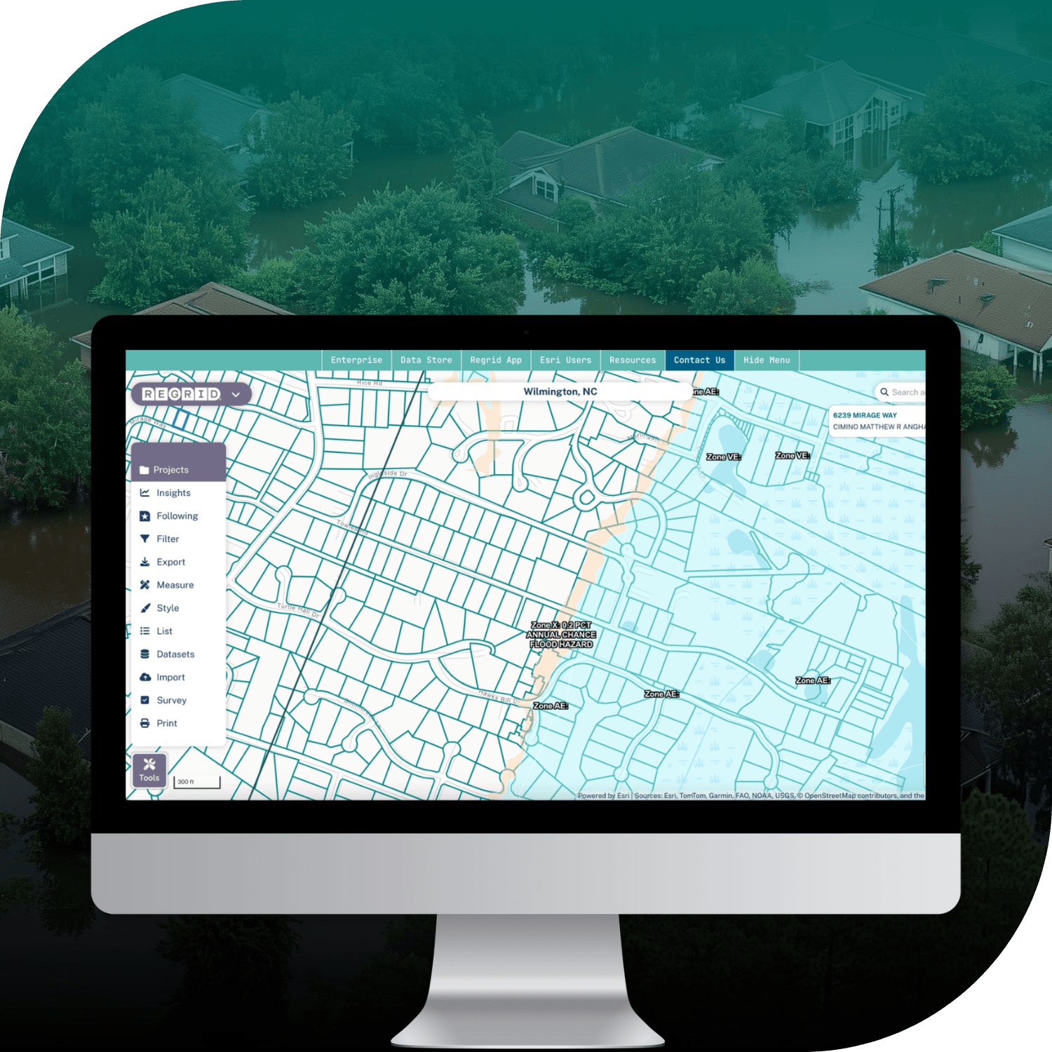
Flood risk isn't always reflected in residential property values, and traditional flood maps can overlook exposed homes. Boston University researchers needed consistent nationwide parcel data to connect detailed flood risk models with individual properties and their market values.
SOLUTION
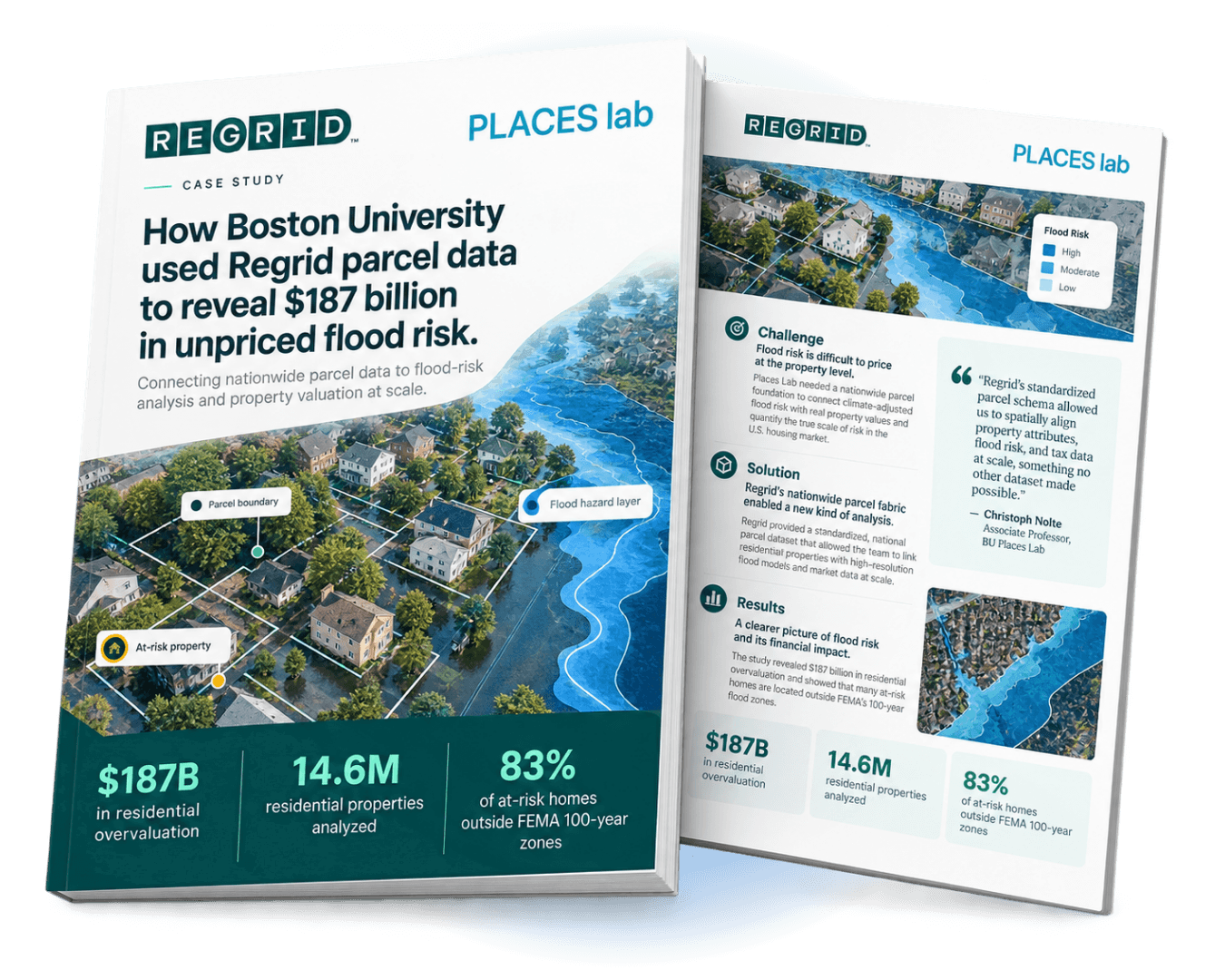
Using Regrid's nationwide parcel data, researchers linked 14.6 million residential properties to high-resolution flood models, revealing an estimated $187 billion in residential overvaluation and significant flood exposure beyond FEMA's designated high-risk zones.
ABOUT
Using spatial research to understand the connections between land, economics, and environmental risk
Boston University's Places Lab conducts research at the intersection of land use, environmental change, public policy, and economics.
In this project, researchers investigated whether residential property values across the United States adequately reflect exposure to flooding. By examining the relationship between flood hazards and housing prices, the team sought to quantify the financial risks associated with properties whose market values may not account for their true flood exposure.
The findings have important implications for homeowners, lenders, insurers, and public agencies responsible for understanding and managing climate-related financial risks.
CHALLENGE
Connecting flood exposure to individual property values at a national scale
Flooding is one of the costliest climate-related hazards in the United States, yet its financial implications remain difficult to measure at the individual property level.
Traditional flood maps, including FEMA's designated flood zones, provide an important regulatory baseline but don't capture every property exposed to flooding. As a result, housing prices may not fully reflect the financial risks associated with a property's location.
This creates uncertainty for buyers, lenders, insurers, and local governments that rely on accurate property valuations to make financial and planning decisions.
To investigate the scale of potentially unpriced flood risk, Boston University's Places Lab needed to combine detailed flood hazard models with property attributes, tax assessments, and market valuations across the country.
Doing so required a consistent nationwide parcel dataset that could connect these different sources of information to individual properties.
SOLUTION
Standardized nationwide parcel data connects flood models with property valuations
Through Regrid's Data With Purpose program, Boston University's Places Lab used Regrid's nationwide parcel data as a common spatial foundation for its research.
Regrid's standardized parcel boundaries and attributes enabled researchers to connect residential properties with high-resolution flood models developed by the First Street Foundation, alongside tax and property valuation information.
Using this integrated dataset, the team could estimate how flood exposure affects residential property values and compare those estimates with prevailing market prices.
Regrid's consistent parcel structure was particularly important for conducting the analysis across all 50 states, allowing researchers to work with property information from different jurisdictions within a common framework.
By connecting flood hazards with individual properties and their economic characteristics, the team could investigate the financial implications of flood exposure at a level of detail that broader geographic analyses could not provide.
RESULTS
Revealing $187 billion in residential overvaluation and widespread overlooked flood exposure
The research identified an estimated $187 billion in residential property overvaluation associated with flood risk that is not fully reflected in market prices.
By linking 14.6 million residential properties to detailed flood models, the team also found that 83% of the at-risk homes identified in the study were located outside FEMA's 100-year flood zones.
The findings revealed significant geographic disparities. Although unpriced flood risk exists across the country, the South and Southeast showed the greatest concentration, while lower-income counties were found to be particularly vulnerable.
These insights have implications well beyond academic research. For banks and lenders, understanding potential overvaluation can inform property risk assessments and lending decisions. Insurers can use more detailed flood exposure information to better understand the risks associated with individual properties.
For municipalities and policymakers, the findings highlight potential vulnerabilities in local property tax bases, infrastructure planning, and communities that may face disproportionate financial impacts from flooding.
By providing the parcel-level foundation needed to connect environmental hazards with economic data, Regrid helped researchers reveal risks that conventional flood maps and broader market analyses can overlook.
See how Regrid has helped others


















(888) 4RE-GRID
Subscribe for email updates