
-
Products ⌄
 Premium parcels
 AI and ML tools
 Roadway ROW
 Spatial add-ons
 Delivery methods
- Industries ⌄
- Data store
- Property App
- Esri users
- Resources ⌄
- Contact us
































-
Products ⌄
AI and ML tools
Roadway ROW
-
Industries ⌄
-
Resources ⌄

CASE STUDY | AEC
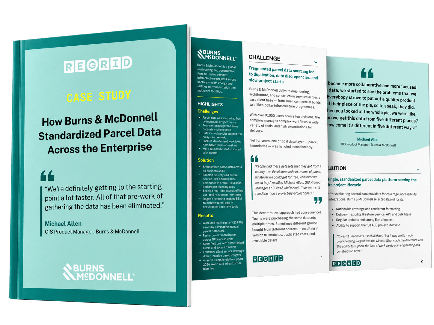
How Burns & McDonnell standardized parcel data across the enterprise with Regrid
Discover how a global engineering and construction firm uses Regrid's nationwide parcel data to streamline projects, improve field operations, and deliver better location intelligence to clients.

INDUSTRY
Architecture, Engineering, and Construction (AEC)
REGION
Multinational
PRODUCT
Enterprise Data
WEBSITE
CHALLENGE
Burns & McDonnell's fragmented approach to sourcing parcel data led to inconsistent datasets, duplicated effort, and licensing restrictions that complicated collaboration and client deliverables.
SOLUTION
With Regrid as its enterprise-wide parcel data source, Burns & McDonnell standardized access across ten business units, accelerating project starts, enabling automated workflows, and improving field coordination and location intelligence for clients.
ABOUT
A global engineering and construction firm delivering complex infrastructure projects
Burns & McDonnell is a global architecture, engineering, and construction (AEC) firm delivering projects across a wide range of sectors, including energy, utilities, transportation, and industrial infrastructure.
With ten business units managing projects ranging from commercial developments to major infrastructure programmes, the firm relies on accurate, accessible data to support planning, engineering, fieldwork, and client delivery.
CHALLENGE
Fragmented parcel data sourcing created inefficiencies across business units
Historically, Burns & McDonnell's project teams sourced parcel data on a project-by-project basis, often working with different providers and datasets. This fragmented approach created inconsistencies, duplicated effort, and limited visibility into work already completed by other teams.
Licensing restrictions added another layer of complexity, particularly when teams needed to incorporate parcel information into client deliverables or applications.
Burns & McDonnell needed a reliable, enterprise-wide parcel data source that could eliminate repetitive data gathering, support consistent workflows, and make information readily accessible across its diverse business units.
SOLUTION
One standardized parcel data source supporting the entire project lifecycle
Burns & McDonnell selected Regrid for its nationwide coverage, consistent data formatting, flexible licensing, and compatibility with the firm's Esri-based environment.
With access to parcel data through Regrid's Feature Service, API, and bulk files, teams can choose the delivery method best suited to their work, whether conducting spatial analysis in ArcGIS, integrating data into applications, or processing large datasets for offline use.
Today, Regrid supports workflows throughout the project lifecycle, from site selection and environmental assessments to right-of-way management, stakeholder outreach, and field operations. Teams use parcel data to identify affected landowners, prepare outreach materials, track property access permissions, and equip field crews with location-specific information.
Regrid's consistent data schema also provides a foundation for automation, allowing Burns & McDonnell teams to develop repeatable processes and share successful workflows across business units.
"Our clients aren’t looking for parcel data… What they need is location intelligence, and our partnership with Regrid strengthens our ability to provide that."
- Michael Allen
RESULTS
Faster project starts, safer field operations, and greater value for clients
With a standardized parcel data source readily available, Burns & McDonnell has significantly reduced the effort involved in sourcing and preparing property information. Teams can move directly into analysis and project planning, rather than spending valuable time gathering datasets.
The benefits extend into the field, where parcel-linked access records, notes, and alerts help crews coordinate activities, understand property permissions, and work more safely. Meanwhile, consistent data enables greater automation and collaboration across the organisation.
For clients, earlier access to reliable parcel information means more informed decisions. Burns & McDonnell can use Regrid data to compare routing costs, assess potential land value impacts, and support landowner negotiations with richer location intelligence.
By turning parcel data into a shared enterprise resource, Burns & McDonnell has moved beyond fragmented, project-specific sourcing towards more efficient, scalable workflows that support better project delivery and higher-value client services.


















(888) 4RE-GRID
Subscribe for email updates