regrid_tm_forest
Sign In
  • Products ⌄

    Regrid premium parcel data menu icon Premium parcels

    • global-icon Global parcels
    • US Parcel Data U.S. parcels
    • Europe-icon-navigation European parcels
    • Canada Parcel Data Canadian parcels
    • map-location-pin-regrid-icon U.S. coverage map

    ai-ml-navigation-icon (1) AI and ML tools

    • mcp-server-navigation MCP Server

    roadway-row-icon_2025-1 Roadway ROW

    • roadway-row-icon_2025 U.S. roadway polygons

    Spatial add-ons menu icon Spatial add-ons

    • Matched building footprints menu icon Matched building footprints
    • Matched secondary addresses menu icon Matched secondary addresses
    • Standardized zoning menu icon Standardized zoning
    • Enhanced property ownership menu icon Daily ownership updates

    Data access icon Delivery methods

    • Bulk files icon Bulk files
    • Feature Service Feature service
    • api-icon_2025 Parcel API and tiles
    • Green icon of a shopping cart with check mark Data store
  • Industries ⌄

    industries-we-serve Industries we serve

    • aec-navigation-icon Architecture, engineering, and construction (AEC)
    • re-navigation-icon Real estate
    • gov-navigation-icon Government
    • ag-navigation-icon Agriculture
    • energy-navigation-icon Renewable energy and utilities
    • telco-navigation-icon Broadband and telecommunications
    • insurance-navigation-icon Insurance and finance
    • ai-ml-navigation-icon AI and machine learning
    • transportation-navigation-icon Transportation and logistics
  • Data store
  • Property App
  • Esri users
  • Resources ⌄

    Support menu icon Support

    • Support site menu icon Support site
    • Tutorial videos menu icon Tutorial videos
    • blog_resources_icon-1 Parcel schema
    • Regrid icon Sign into the Regrid Property App

    Content menu icon Content

    • Blog menu icon Blog
    • Customer stories menu icon Customer Stories
    • Reports menu icon Reports
    • data-store-2 Coverage map
    • Green file icon representing all resources All resources

    Programs menu icon Programs

    • Regrid giving menu icon Regrid Giving
    • dwp-navigation-icon copy Data with Purpose

    shop icon Shop

    • merch_icon_2025 Regrid Merch
  • Contact us

Contact us
  • Products ⌄

    Premium parcels

    • Global parcels
    • U.S. parcels
    • European parcels
    • Canadian parcels
    • U.S. coverage map

    Spatial add-ons

    • Matched building footprints
    • Matched secondary addresses
    • Standardized zoning
    • Daily ownership updates

    AI and ML tools

    • MCP Server

    Delivery methods

    • Bulk files
    • Feature service
    • Parcel API and tiles
    • Data store

    Roadway ROW

    • U.S. roadway polygons
  • Industries ⌄

    Industries we serve

    • Architecture, engineering, and construction (AEC)
    • Real estate
    • Government
    • Agriculture
    • Renewable energy and utilities
    • Broadband and telecommunications
    • Insurance and finance
    • AI and machine learning
    • Transportation and logistics
  • Data store
  • Property App
  • Esri users
  • Resources ⌄

    Support

    • Support site
    • Tutorial videos
    • Parcel schema
    • Sign into the Regrid Property App

    Programs

    • Regrid Giving
    • Data with Purpose

    Content

    • Blog
    • Customer Stories
    • Reports
    • Coverage map
    • All resources

    Shop

    • Regrid Merch
  • Contact us
CREtelligent logo white

Case study: CREtelligent

From parcel identification to property risk reports in under a minute

With Regrid’s Parcel API integrated into RADIUS, CREtelligent connects property boundaries with risk data, helping commercial real estate teams generate automated reports and move due diligence forward.

Download full case study
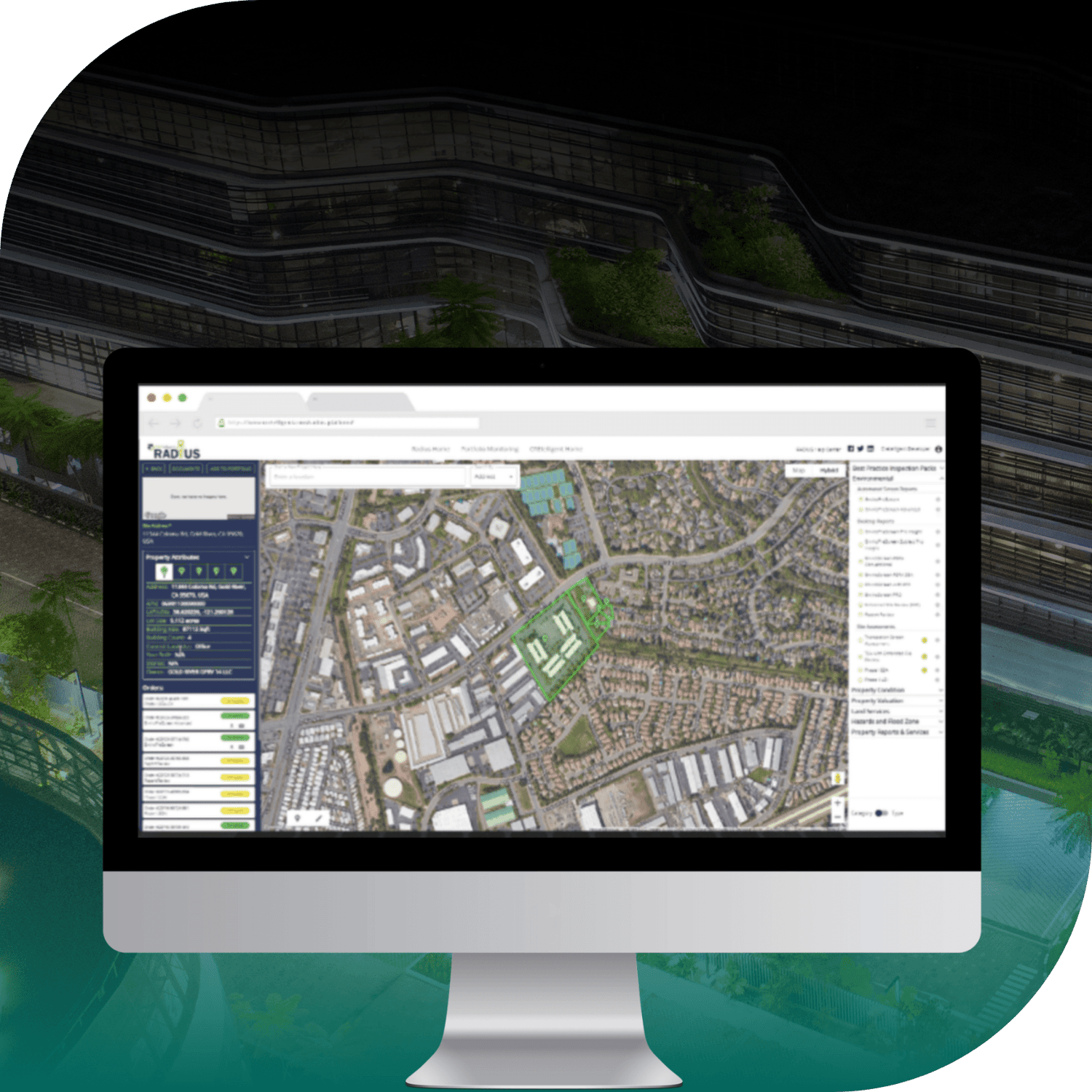
CREtelligent RADIUS platform on a computer screen overlaid on image of commercial building

INDUSTRY

Commercial Real Estate (CRE)

REGION

USA, Nationwide

PRODUCT

Parcel Data API

WEBSITE

https://cretelligent.com/

Jump to:

01 Overview

02 About

03 Challenge

04 Solution

05 Results

06 Download

07 Contact

CHALLENGE

CREtelligent’s RADIUS platform depends on fast, accurate parcel identification as the starting point for real-time risk analysis, with no room for gaps, latency, or restrictive licensing.

SOLUTION

With Regrid embedded into RADIUS, CREtelligent supports automated risk reporting in under a minute, maintains a 98% retention rate, and runs high-volume workflows on a stable API. 

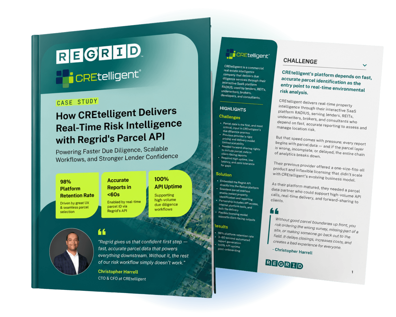
Mockup of Regrid x CREtelligent case study brochure

"When we started speaking with Regrid, it wasn’t just about pricing or coverage. It was about finding a partner who understood our workflow and could evolve with us. Not just hand over a dataset."

Christopher Harrell, CTO and CFO, CREtelligent

ABOUT

Helping real estate teams assess property risk

CREtelligent is a commercial real estate intelligence company that delivers due diligence services through its interactive SaaS platform, RADIUS.

RADIUS is used by lenders, REITs, underwriters, brokers, developers, and consultants who rely on fast, accurate reporting to assess and manage location risk.

CHALLENGE

Every risk report starts with identifying the right parcel

Every CREtelligent report starts with parcel data, and if the parcel layer is wrong, incomplete, or delayed, everything downstream breaks. Without accurate parcel boundaries up front, teams risk missing part of a site, ordering the wrong survey, or sending someone back to the field, which can delay closings and increase costs.

CREtelligent also needed a parcel data solution that could handle high-volume, real-time API delivery and support forward-sharing in client-facing reports without added friction.

SOLUTION

Connect parcel boundaries to automated due diligence

CREtelligent embedded the Regrid API directly into the RADIUS interface to power the first step of the due diligence workflow. Users see Regrid parcel boundaries over Google Maps for instant property identification, then RADIUS pulls in additional datasets tied to that parcel and generates automated risk reports or initiates services like Phase I ESAs and surveys.

The integration was tuned collaboratively during onboarding to meet performance requirements, and Regrid’s licensing model supports forward-sharing so CREtelligent can deliver parcel-derived insights directly to clients.

"We’re a high-volume user, and the API’s been rock solid."

-  Christopher Harrell

RESULTS

Reports in under a minute. Reliable performance at scale.

Regrid enables CREtelligent to deliver real-time parcel identification that anchors automated environmental reports, while scaling confidently on a stable, high-performance API.

CREtelligent cites 98% customer retention driven by intuitive experiences and first-impression accuracy, with report generation from parcel selection in under a minute and 100% API uptime post-onboarding supporting uninterrupted workflows.


Want to learn more? Download the full case study

CREtelligent logo
Esri Logo
Autodesk logo
Langan logo
Burns & McDonnell logo
Agcor logo
Bloom Spatial logo
UC Berkeley logo
Upstream Tech logo
Crexi logo
Dycom logo
CQA logo
TomTom logo
Amazon logo
Polaris logo
United States Census Bureau logo
BCG logo

Let's explore what parcel data can do for you

Tell us a bit about your parcel data needs, and we’ll help you find the right coverage, delivery method, and product fit for your workflow.
*required
logo

(888) 4RE-GRID

  • Contact us
  • Customer support
  • Privacy policy
  • Terms of use
  • Cookie Preferences

Subscribe for email updates

Company

  • About Regrid
  • Careers
  • Press
  • Shop Regrid merch

Resources

  • Coverage map
  • Support center
  • Reports
  • Regrid status page

Enterprise Solutions

  • U.S. parcels
  • Canada parcels
  • Europe parcels
  • Parcel and tiles API
  • Roadway Right-of-Way

Self-serve solutions

  • Regrid Property App
  • Shop the Data Store
  • API monthly plans