
-
Products ⌄
 Premium parcels
 AI and ML tools
 Roadway ROW
 Spatial add-ons
 Delivery methods
- Industries ⌄
- Data store
- Property App
- Esri users
- Resources ⌄
- Contact us






























-
Products ⌄
AI and ML tools
Roadway ROW
-
Industries ⌄
-
Resources ⌄

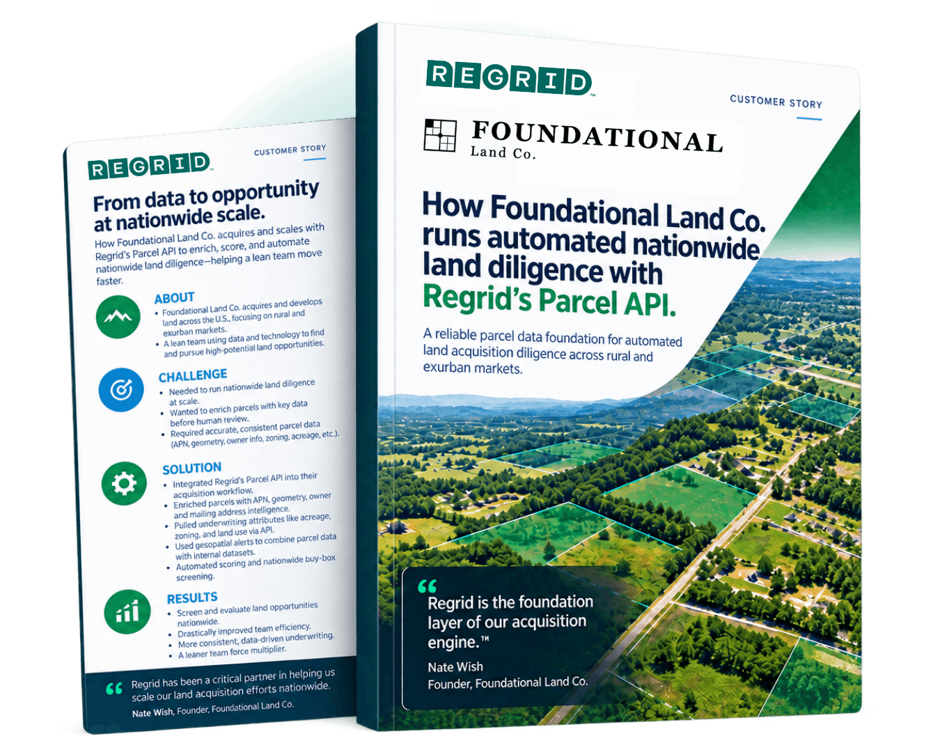
CASE STUDY: FOUNDATIONAL LAND CO.
Automating land acquisition diligence with nationwide parcel data
With Regrid’s Parcel API, Foundational Land Co. enriches and scores incoming parcels before human review, helping a lean team evaluate land opportunities across markets.

INDUSTRY
Commercial Real Estate
REGION
USA
PRODUCT
Regrid Parcel API
WEBSITE
CHALLENGE
Foundational Land Co. needed a reliable parcel data foundation to support automated land acquisition diligence across rural and exurban markets, without sourcing parcel data county by county.
SOLUTION
With Regrid as the parcel layer inside its acquisition engine, Foundational Land Co. enriches every parcel before human review, supports nationwide buy-box screening, and runs automated parcel diligence workflows around the clock.
ABOUT
Finding and developing rural land with a lean team.
Foundational Land Co. is a land acquisition and development company focused on rural and exurban land across the Southeast and beyond.
The company sources off-market and on-market land, underwrites properties for minor subdivision and self-pay seller arrangements, and resells finished lots to builders, recreational buyers, and retail buyers.
Parcel data is central to how Foundational Land Co. finds and evaluates land. Regrid gives the team a consistent way to connect listings, ownership records, boundaries, acreage, and other property details into one usable view of each opportunity.
CHALLENGE
Nationwide land screening needs consistent parcel data.
Foundational Land Co. operates with a national buy box and a lean team. That means every parcel entering the pipeline needs to be evaluated quickly, consistently, and with enough property context to decide whether it deserves human attention.
Before a parcel can be underwritten, the team needs to understand the basics: Where is it? How large is it? Who owns it? What is the mailing address? What is the zoning? What does the boundary look like? How does it relate to slope, road frontage, nearby population, and other location-based factors?
Without a reliable parcel data layer, that kind of screening can become fragmented and manual. Teams may need to chase county-level sources, clean inconsistent records, or delay enrichment until a property has already passed an initial filter.
Foundational Land Co. needed a better way to support automated, nationwide diligence: one parcel data source that could help them identify, enrich, map, and score properties at scale.
SOLUTION
Enrich every parcel before it reaches the team.
Foundational Land Co. built Regrid into the centre of its internal acquisition platform.
Every parcel that enters the company’s pipeline is enriched against Regrid before a human reviews it. Regrid provides the parcel identity, geometry, and property attributes the team uses to connect messy listings to real parcels and run automated diligence steps earlier in the workflow.
Inside Foundational Land Co.’s stack, Regrid supports:
-
-
-
Parcel identity and geometry. APN, boundary geometry, and acreage give the team the core keys they need to join other datasets to each parcel and turn a listing into a mappable land asset.
-
Owner and mailing address intelligence. Owner name and mailing address help the team distinguish absentee owners from occupants, identify lenders or trusts on title, and verify where a seller actually lives.
-
Underwriting attributes. Acreage, zoning, and frontage support buy-box filters for minor subdivision and entitlement potential, helping the team score parcel viability automatically.
-
Geospatial joins. Parcel geometry allows Foundational Land Co. to overlay slope, road frontage, proximity-to-population, and other location layers to rank opportunities by buildability without needing an immediate site visit.
-
-
Instead of treating parcel enrichment as a late-stage manual step, Foundational Land Co. can use Regrid as the data spine underneath its acquisition engine.
RESULTS
One acquisition pipeline. Automated diligence across markets.
With Regrid in place, Foundational Land Co. can run a more automated, more scalable land diligence process across markets.
The team can evaluate parcels across states without negotiating separate county-level data deals or rebuilding its workflow market by market. Regrid gives Foundational Land Co. a single parcel layer for APN, ownership, mailing address, acreage, geometry, and zoning context, so the same acquisition pipeline can support a broad national buy box.
That changes where diligence happens in the workflow. Instead of waiting until a parcel has already cleared a manual filter, Foundational Land Co. can enrich every inbound parcel at intake and let automated scoring work from complete parcel context from the start.
It also helps the team keep its engineering focus in the right place. Rather than spending developer time building around fragmented parcel sources or managing complicated data workarounds, Foundational Land Co. can focus on the features that help the team find, assess, and close land opportunities.
For a lean land acquisition team, that matters. Regrid helps Foundational Land Co. operate with a parcel data foundation that supports automated sweeps, repeatable underwriting, and nationwide diligence at a scale that would be difficult to manage manually.
“It’s been a genuine force-multiplier for a lean team.”
— Nate Wish, Founder, Foundational Land Co.
See how Regrid has helped others

















(888) 4RE-GRID
Subscribe for email updates