
-
Products ⌄
 Premium parcels
 AI and ML tools
 Roadway ROW
 Spatial add-ons
 Delivery methods
- Industries ⌄
- Data store
- Property App
- Esri users
- Resources ⌄
- Contact us
































-
Products ⌄
AI and ML tools
Roadway ROW
-
Industries ⌄
-
Resources ⌄

CASE STUDY | REAL ESTATE
How Immersive Homes uses Regrid to streamline site due diligence for residential development
Discover how Immersive Homes uses the Regrid Property App to evaluate site constraints, assess development feasibility, and prepare early design concepts with greater efficiency.

INDUSTRY
Real Estate
REGION
USA, Nationwide
PRODUCT
Property App
WEBSITE
CHALLENGE
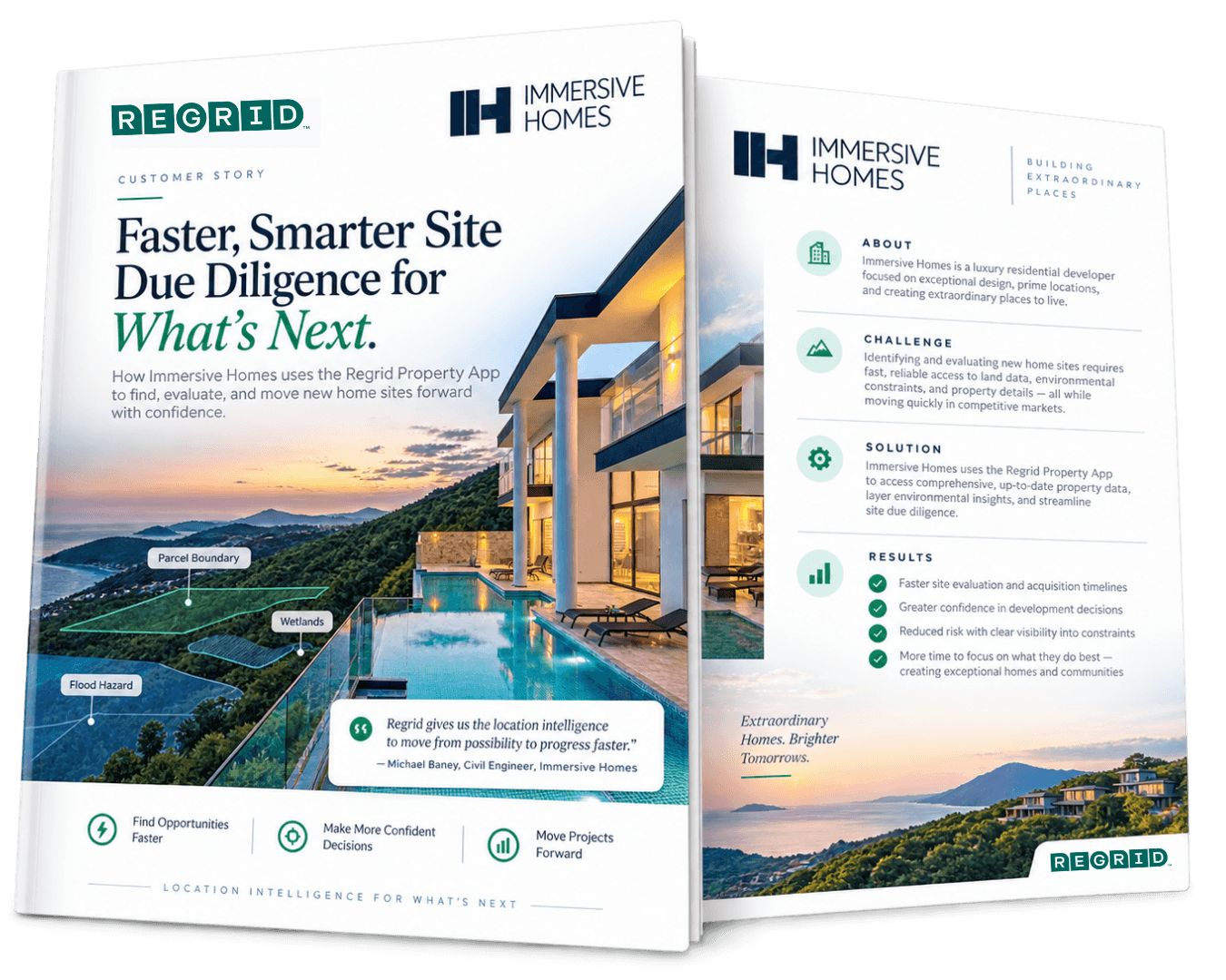
Immersive Homes needed a faster way to identify property boundaries, assess potential development constraints, and gather the information required for early-stage site evaluation without navigating multiple data sources.
SOLUTION
With the Regrid Property App, Immersive Homes can review parcel boundaries, flood hazards, wetlands, and terrain in one place, then export parcel data into AutoCAD to support early concept planning.
ABOUT
A residential developer focused on evaluating sites and bringing new homes to life
Immersive Homes is a residential development company focused primarily on building single-family homes.
Civil engineer Michael Baney oversees the due diligence process, from identifying potential development sites through acquisition, permitting, and construction feasibility. A critical part of his work is understanding what can realistically be built on a property and identifying constraints that could influence a project's design and viability.
CHALLENGE
Assessing property boundaries and development constraints across multiple data sources
Before moving forward with a potential residential development, Immersive Homes needs to understand a site's characteristics and any restrictions that could affect what can be built.
Early in the process, Michael often has very little information about a property, sometimes only the location of a nearby intersection. He needs to identify the correct parcel, understand its boundaries, and assess potential constraints such as flood hazards, wetlands, and terrain.
Gathering this information traditionally requires consulting multiple sources, making the initial evaluation process more time-consuming. Certain property details, such as ownership records, may also require verification through county assessor websites.
Immersive Homes needed a simpler way to bring this information together and quickly determine whether a property warrants further investigation.
SOLUTION
One property mapping tool for site screening and early concept planning
Michael uses the Regrid Property App as a central starting point for evaluating potential development sites.
After locating a property by address or parcel number, he can review parcel boundaries and turn on relevant map layers to investigate site constraints. His process typically begins with FEMA flood hazard information, followed by wetlands and elevation contours to better understand the site's physical characteristics.
Regrid also allows Michael to save properties to projects for easy reference as due diligence progresses.
For early design work, he can export parcel boundaries as shapefiles and bring them into AutoCAD, where he develops preliminary concepts before a formal property survey is available.
I can export the property boundaries into AutoCAD and use them to start drawing preliminary concepts, like where a house could go.
- Michael Baney
This gives Immersive Homes a practical way to move from initial site identification into feasibility analysis and concept planning, while continuing to verify official records and requirements with county assessors and local authorities.
RESULTS
Faster site evaluations and a more efficient path from property research to preliminary design
By bringing parcel boundaries and key environmental layers together, Regrid helps Immersive Homes simplify the first stages of residential development due diligence.
Michael can quickly locate potential sites, screen for major constraints, and develop an initial understanding of what may be feasible without repeatedly switching between mapping tools and data sources.
I just enter the property address, and Regrid takes me straight to it. I can quickly analyze just about everything I need.
- Michael Baney
The ability to export parcel boundaries directly into AutoCAD provides additional value, allowing early design concepts to take shape before commissioning a formal survey.
For Immersive Homes, Regrid has become a convenient starting point for evaluating properties, helping bridge the gap between identifying a potential development opportunity and deciding whether to pursue more detailed due diligence.
See how Regrid has helped others


















(888) 4RE-GRID
Subscribe for email updates