regrid_tm_forest
Sign In
  • Products ⌄

    Regrid premium parcel data menu icon Premium parcels

    • global-icon Global parcels
    • US Parcel Data U.S. parcels
    • Europe-icon-navigation European parcels
    • Canada Parcel Data Canadian parcels
    • map-location-pin-regrid-icon U.S. coverage map

    ai-ml-navigation-icon (1) AI and ML tools

    • mcp-server-navigation MCP Server

    roadway-row-icon_2025-1 Roadway ROW

    • roadway-row-icon_2025 U.S. roadway polygons

    Spatial add-ons menu icon Spatial add-ons

    • Matched building footprints menu icon Matched building footprints
    • Matched secondary addresses menu icon Matched secondary addresses
    • Standardized zoning menu icon Standardized zoning
    • Enhanced property ownership menu icon Daily ownership updates

    Data access icon Delivery methods

    • Bulk files icon Bulk files
    • Feature Service Feature service
    • api-icon_2025 Parcel API and tiles
    • Green icon of a shopping cart with check mark Data store
  • Industries ⌄

    industries-we-serve Industries we serve

    • aec-navigation-icon Architecture, engineering, and construction (AEC)
    • re-navigation-icon Real estate
    • gov-navigation-icon Government
    • ag-navigation-icon Agriculture
    • energy-navigation-icon Renewable energy and utilities
    • telco-navigation-icon Broadband and telecommunications
    • insurance-navigation-icon Insurance and finance
    • ai-ml-navigation-icon AI and machine learning
    • transportation-navigation-icon Transportation and logistics
  • Data store
  • Property App
  • Esri users
  • Resources ⌄

    Support menu icon Support

    • Support site menu icon Support site
    • Tutorial videos menu icon Tutorial videos
    • blog_resources_icon-1 Parcel schema
    • Regrid icon Sign into the Regrid Property App

    Content menu icon Content

    • Blog menu icon Blog
    • Customer stories menu icon Customer Stories
    • Reports menu icon Reports
    • data-store-2 Coverage map
    • Green file icon representing all resources All resources

    Programs menu icon Programs

    • Regrid giving menu icon Regrid Giving
    • dwp-navigation-icon copy Data with Purpose

    shop icon Shop

    • merch_icon_2025 Regrid Merch
  • Contact us

Contact us
  • Products ⌄

    Premium parcels

    • Global parcels
    • U.S. parcels
    • European parcels
    • Canadian parcels
    • U.S. coverage map

    Spatial add-ons

    • Matched building footprints
    • Matched secondary addresses
    • Standardized zoning
    • Daily ownership updates

    AI and ML tools

    • MCP Server

    Delivery methods

    • Bulk files
    • Feature service
    • Parcel API and tiles
    • Data store

    Roadway ROW

    • U.S. roadway polygons
  • Industries ⌄

    Industries we serve

    • Architecture, engineering, and construction (AEC)
    • Real estate
    • Government
    • Agriculture
    • Renewable energy and utilities
    • Broadband and telecommunications
    • Insurance and finance
    • AI and machine learning
    • Transportation and logistics
  • Data store
  • Property App
  • Esri users
  • Resources ⌄

    Support

    • Support site
    • Tutorial videos
    • Parcel schema
    • Sign into the Regrid Property App

    Programs

    • Regrid Giving
    • Data with Purpose

    Content

    • Blog
    • Customer Stories
    • Reports
    • Coverage map
    • All resources

    Shop

    • Regrid Merch
  • Contact us
Langan logo

CASE STUDY: LANGAN

Building client confidence with current, nationwide parcel data

With Regrid’s regularly updated parcel data integrated into its internal systems, Langan delivers property information with greater confidence, streamlines workflows, and better supports its engineering and environmental consulting clients.

Low-angle view of a tall steel building structure with crisscross beams and a central vertical column, seen against a cloudy blue-gray sky.

INDUSTRY

Architecture, Engineering and Construction (AEC)

REGION

Multinational

PRODUCT

Nationwide Parcel Data

WEBSITE

https://www.langan.com/

Jump to:

01 Overview

02 About

03 Challenge

04 Solution

05 Results

06 Contact

CHALLENGE

Langan needed accurate, nationwide parcel data with frequent updates after their existing vendor’s data proved outdated and difficult to use.

SOLUTION

With Regrid’s regularly refreshed parcel dataset, Langan increased confidence in the property information they deliver.

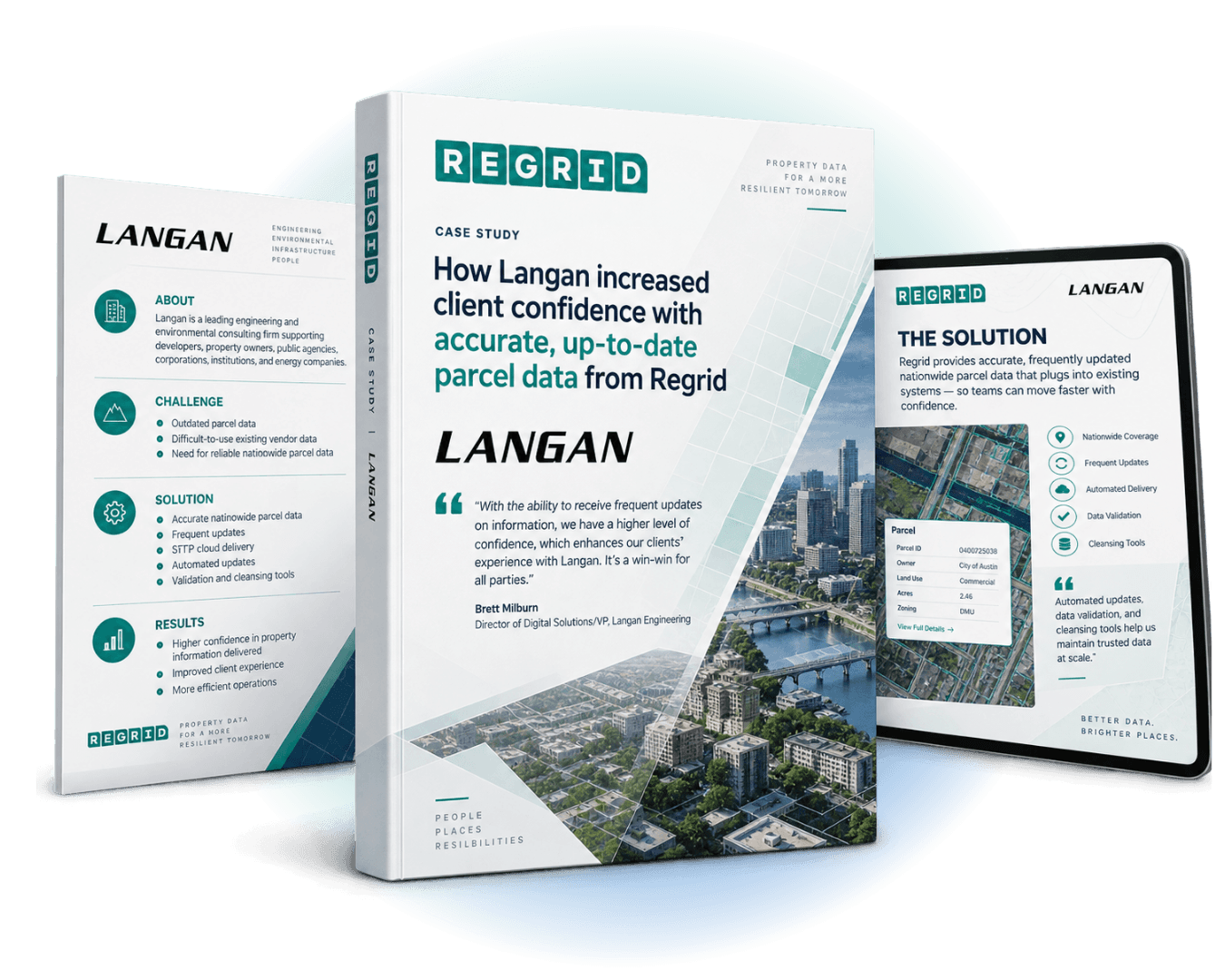
Three brochure covers for a Regrid case study titled “How Langan increased client confidence with accurate, up-to-date parcel data,” plus a spec sheet and tablet screen showing "the solution"

"With the ability to receive frequent updates on information, we have a higher level of confidence, which enhances our clients' experience with Langan. It's a win-win for all parties."

Brett Milburn, Director of Digital Solutions/VP, Langan Engineering

ABOUT

Supporting engineering projects with reliable property information

Langan is a leading engineering and environmental consulting firm that supports a wide range of clients, including developers, property owners, public agencies, corporations, institutions, and energy companies.

Their work depends on providing reliable property information that customers can trust—especially when decisions and project timelines move fast.

CHALLENGE

Outdated parcel data, difficult to use across projects

Langan’s team had difficulty sourcing accurate, up-to-date parcel data across the entire U.S. at the scale their work requires. Their existing vendor was delivering outdated parcel information, and it wasn’t easily consumable inside Langan’s internal applications—making it harder to operationalize parcel data consistently and confidently across projects.

Because Langan’s clients rely on property data to inform real decisions, the consequences of stale or inconsistent parcel information show up quickly: more back-and-forth, lower confidence in outputs, and added friction in delivery.


SOLUTION

Nationwide parcel data that stays current within existing systems

Langan chose Regrid for accurate, frequently updated nationwide parcel data that could plug into their existing systems. They access the dataset via SFTP cloud delivery for straightforward integration, and rely on automated updates plus data validation and cleansing tools to keep the data accurate, current, and dependable over time.

"Regrid provided automated data updates, data validation, and data cleansing tools to help maintain accurate and up-to-date parcel data.”

- Brett Milburn

RESULTS

Greater confidence for clients. Smoother workflows for the team.

By integrating Regrid’s parcel data, Langan resolved key challenges around data quality and currency at a national scale. That reliability translated into a higher level of confidence in the property information Langan delivers—helping improve client satisfaction while also streamlining internal processes.

For Langan, ROI isn’t only financial. They describe the return as improved client relationships and more efficient operations—creating a “win-win” outcome for all parties involved.


See how Regrid has helped others

View all case studies
CREtelligent logo
Esri Logo
Autodesk logo
Langan logo
Burns & McDonnell logo
Agcor logo
Bloom Spatial logo
UC Berkeley logo
Upstream Tech logo
Crexi logo
Dycom logo
CQA logo
TomTom logo
Amazon logo
Polaris logo
United States Census Bureau logo
BCG logo

Let's explore what parcel data can do for you

Tell us a bit about your parcel data needs, and we’ll help you find the right coverage, delivery method, and product fit for your workflow.
*required
logo

(888) 4RE-GRID

  • Contact us
  • Customer support
  • Privacy policy
  • Terms of use
  • Cookie Preferences

Subscribe for email updates

Company

  • About Regrid
  • Careers
  • Press
  • Shop Regrid merch

Resources

  • Coverage map
  • Support center
  • Reports
  • Regrid status page

Enterprise Solutions

  • U.S. parcels
  • Canada parcels
  • Europe parcels
  • Parcel and tiles API
  • Roadway Right-of-Way

Self-serve solutions

  • Regrid Property App
  • Shop the Data Store
  • API monthly plans