
-
Products ⌄
 Premium parcels
 AI and ML tools
 Roadway ROW
 Spatial add-ons
 Delivery methods
- Industries ⌄
- Data store
- Property App
- Esri users
- Resources ⌄
- Contact us





























-
Products ⌄
AI and ML tools
Roadway ROW
-
Industries ⌄
-
Resources ⌄
CASE STUDY | ENERGY & UTILITIES
From utility route planning to land acquisition: How Regrid parcel data supports right-of-way workflows
Discover how a utility right-of-way professional uses Regrid to identify affected parcels, access ownership information, and coordinate surveying, title research, and land acquisition activities.
INDUSTRY
Energy & Utilities
REGION
USA
PRODUCT
Regrid Property App
CHALLENGE
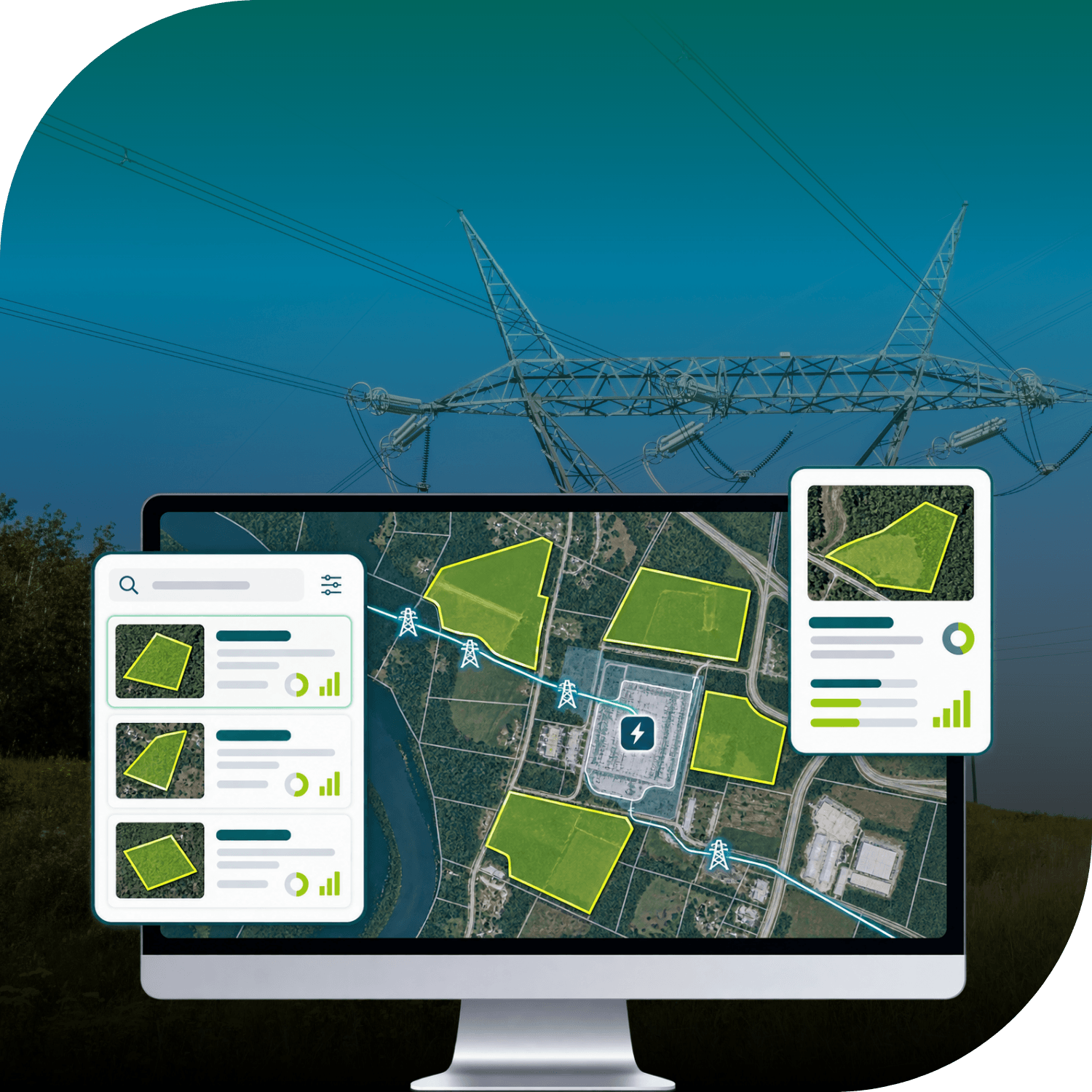
Managing right-of-way acquisition for utility projects requires accurate parcel boundaries and ownership information. Scott Arnold needed a reliable way to identify affected properties along planned utility corridors and coordinate information across project teams.
SOLUTION
Using the Regrid Property App, Scott can access parcel boundaries and ownership information along planned utility routes, compile property lists, and export parcel data for use in Google Earth to support surveying, title research, and land acquisition workflows.
ABOUT
Supporting utility infrastructure projects from planning through land acquisition
Scott Arnold is an independent contractor and right-of-way professional who supervises distribution projects for a large utility company.
Managing a high volume of projects each year, he helps coordinate the information needed to move from initial utility designs to surveying, title research, and property acquisition.
His work depends on understanding which properties are affected by planned utility infrastructure and ensuring the teams involved have accurate, consistent information to work from.
CHALLENGE
Identifying affected parcels and landowners along planned utility corridors
Right-of-way planning begins with a fundamental question: which properties will a proposed utility line or installation affect, and who owns them?
For Scott, the process often starts with a planned alignment for a new utility line or equipment installation. Before surveyors can prepare exhibits or title teams can begin their research, he needs to identify the individual parcels along the route and compile a reliable list of affected properties.
While existing utility GIS systems may include parcel boundaries, that information isn't always sufficiently current for acquisition work. Outdated ownership or boundary information can complicate the coordination needed to move projects forward.
Scott needed a dependable way to check parcel boundaries and ownership, create property lists, and share that information with the different teams involved in right-of-way acquisition.
SOLUTION
Parcel boundaries and ownership data to support right-of-way workflows
Scott uses the Regrid Property App early in the project lifecycle, once a proposed utility alignment has been established.
He uses Regrid's parcel boundaries and ownership information to identify properties along the planned corridor. Features such as Follow help him move between adjacent parcels and compile the property lists needed for subsequent project stages.
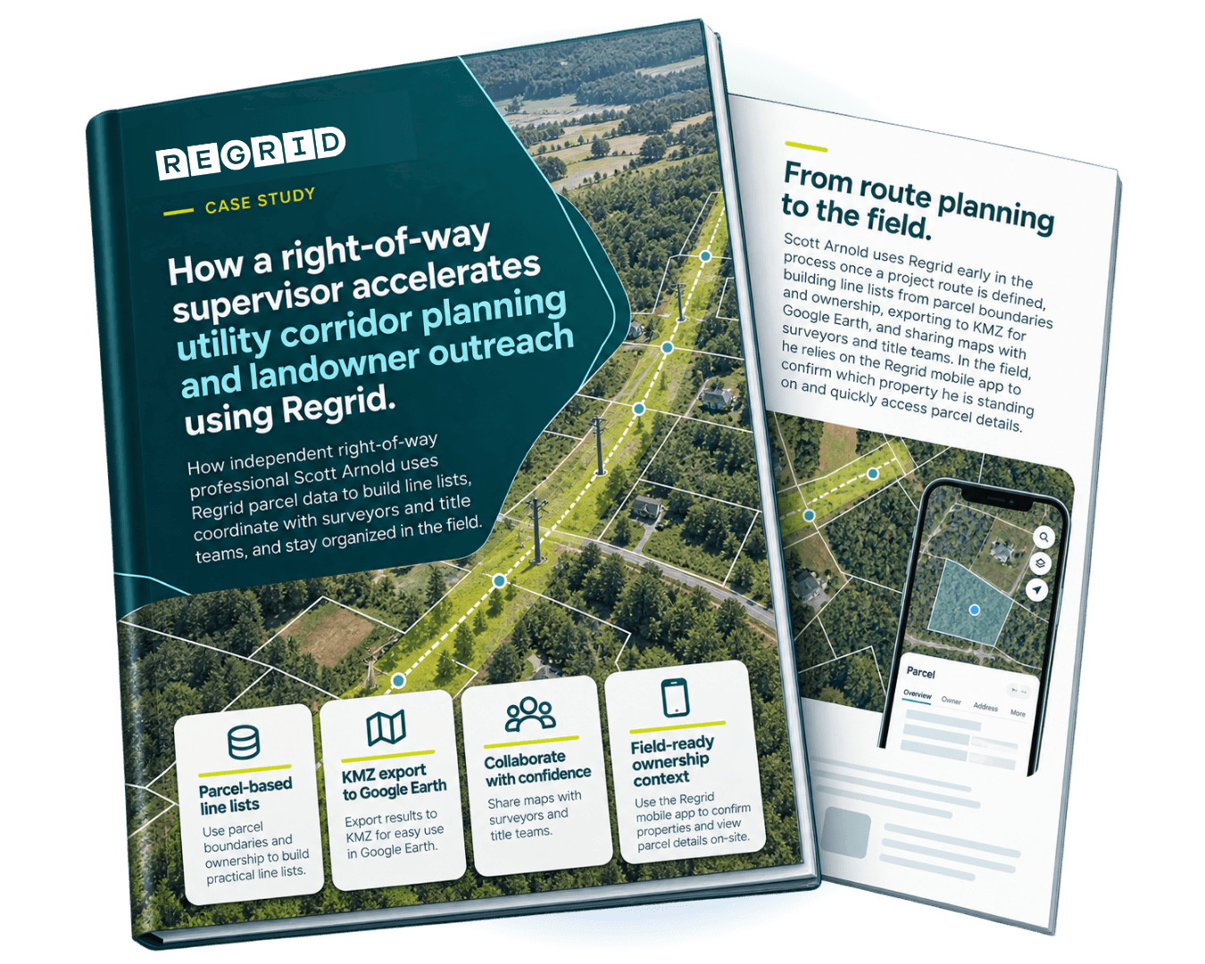
He then exports selected parcel information as KMZ files for use in Google Earth, where he can combine it with other project data and mapping layers.
These maps provide a shared reference for surveyors and title teams, supporting the preparation of exhibits, title research, and coordination around affected properties.
Regrid also supports Scott in the field. Using the mobile app, he can identify the property he's standing on and access relevant parcel information when needed.
“It’s like my initial step. It’s once I see the mastering design, I’m right on Regrid pulling the properties out.”
- Scott Arnold, Independent Contractor
RESULTS
Faster project preparation and better coordination across right-of-way teams
With Regrid integrated into his daily workflow, Scott has a reliable starting point for identifying the properties affected by utility infrastructure projects.
Instead of relying solely on potentially outdated parcel information within existing utility GIS systems, he can access parcel boundaries and ownership details together, helping him prepare property lists and move projects into surveying and title research.
The ability to export parcel information into Google Earth also makes it easier to communicate corridor impacts and share consistent information across teams.
In the field, quick access to parcel details helps Scott confirm property locations and support the coordination required for right-of-way work.
By providing accessible parcel boundaries, ownership information, and flexible data exports, Regrid gives Scott a reliable foundation for preparing property lists, sharing information across teams, and supporting the surveying, title research, and acquisition activities involved in utility infrastructure projects.
See how Regrid has helped others


















(888) 4RE-GRID
Subscribe for email updates