regrid_tm_forest
Sign In
  • Products ⌄

    Regrid premium parcel data menu icon Premium parcels

    • global-icon Global parcels
    • US Parcel Data U.S. parcels
    • Europe-icon-navigation European parcels
    • Canada Parcel Data Canadian parcels
    • map-location-pin-regrid-icon U.S. coverage map

    ai-ml-navigation-icon (1) AI and ML tools

    • mcp-server-navigation MCP Server

    roadway-row-icon_2025-1 Roadway ROW

    • roadway-row-icon_2025 U.S. roadway polygons

    Spatial add-ons menu icon Spatial add-ons

    • Matched building footprints menu icon Matched building footprints
    • Matched secondary addresses menu icon Matched secondary addresses
    • Standardized zoning menu icon Standardized zoning
    • Enhanced property ownership menu icon Daily ownership updates

    Data access icon Delivery methods

    • Bulk files icon Bulk files
    • Feature Service Feature service
    • api-icon_2025 Parcel API and tiles
    • Green icon of a shopping cart with check mark Data store
  • Industries ⌄

    industries-we-serve Industries we serve

    • aec-navigation-icon Architecture, engineering, and construction (AEC)
    • re-navigation-icon Real estate
    • gov-navigation-icon Government
    • ag-navigation-icon Agriculture
    • energy-navigation-icon Renewable energy and utilities
    • telco-navigation-icon Broadband and telecommunications
    • insurance-navigation-icon Insurance and finance
    • ai-ml-navigation-icon AI and machine learning
    • transportation-navigation-icon Transportation and logistics
  • Data store
  • Property App
  • Esri users
  • Resources ⌄

    Support menu icon Support

    • Support site menu icon Support site
    • Tutorial videos menu icon Tutorial videos
    • blog_resources_icon-1 Parcel schema
    • Regrid icon Sign into the Regrid Property App

    Content menu icon Content

    • Blog menu icon Blog
    • Customer stories menu icon Customer Stories
    • Reports menu icon Reports
    • data-store-2 Coverage map
    • Green file icon representing all resources All resources

    Programs menu icon Programs

    • Regrid giving menu icon Regrid Giving
    • dwp-navigation-icon copy Data with Purpose

    shop icon Shop

    • merch_icon_2025 Regrid Merch
  • Contact us

Contact us
  • Products ⌄

    Premium parcels

    • Global parcels
    • U.S. parcels
    • European parcels
    • Canadian parcels
    • U.S. coverage map

    Spatial add-ons

    • Matched building footprints
    • Matched secondary addresses
    • Standardized zoning
    • Daily ownership updates

    AI and ML tools

    • MCP Server

    Delivery methods

    • Bulk files
    • Feature service
    • Parcel API and tiles
    • Data store

    Roadway ROW

    • U.S. roadway polygons
  • Industries ⌄

    Industries we serve

    • Architecture, engineering, and construction (AEC)
    • Real estate
    • Government
    • Agriculture
    • Renewable energy and utilities
    • Broadband and telecommunications
    • Insurance and finance
    • AI and machine learning
    • Transportation and logistics
  • Data store
  • Property App
  • Esri users
  • Resources ⌄

    Support

    • Support site
    • Tutorial videos
    • Parcel schema
    • Sign into the Regrid Property App

    Programs

    • Regrid Giving
    • Data with Purpose

    Content

    • Blog
    • Customer Stories
    • Reports
    • Coverage map
    • All resources

    Shop

    • Regrid Merch
  • Contact us
Upstream Tech logo

CASE STUDY: UPSTREAM TECH

Helping conservation teams research land faster with parcel data in Lens

With Regrid’s parcel data inside Lens, Upstream Tech helps conservation teams connect imagery with boundaries and ownership, simplifying property research and supporting land acquisition and stewardship.

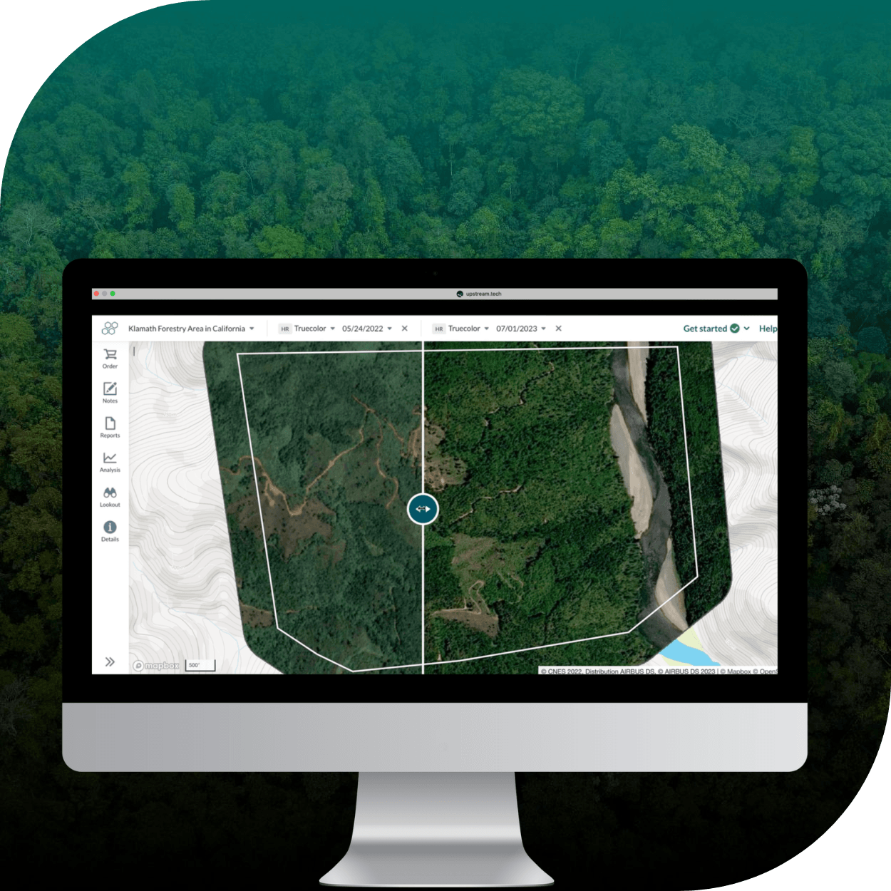
Lens platform showing on a computer screen-2

INDUSTRY

Technology and data

REGION

USA

PRODUCT

Regrid Parcel API

WEBSITE

https://www.upstream.tech/

Jump to:

01 Overview

02 About

03 Challenge

04 Solution

05 Results

06 Contact

CHALLENGE

Parcel research was often slow and messy for conservation teams, requiring county-by-county lookup and non-standardized formats.

SOLUTION

By integrating Regrid into Lens, users can access parcel records in a standardized U.S.-wide format alongside imagery—saving time and supporting faster, better-informed decisions.

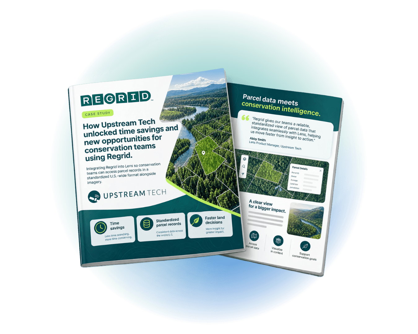
Two brochures on a white background: one titled “REGRID” about upstream tech and time savings, and a second titled “Parcel data meets conservation intelligence” with a forested landscape graphic and quote text.

"Our partnership with Regrid has unlocked time savings and new opportunities for conservation organizations using Lens."

Abby Smith, Lens Product Manager, Upstream Tech

ABOUT

Helping conservation teams see the bigger picture.

Upstream Tech is the creator of Lens, a platform used by conservation and restoration organizations to monitor, analyze, and report on properties and projects.

Lens brings together satellite and aerial imagery from multiple providers along with supporting datasets, with the goal of helping organizations accelerate the pace and scale of their conservation work.

CHALLENGE

A clear view from above. A fragmented search on the ground.

For many conservation teams, finding parcel information has been a time-consuming process—often involving navigating local county records and working across non-standardized data formats.

That friction made it harder to quickly connect what teams were seeing in imagery with the parcel boundaries, ownership details, and adjacent-parcel context they needed for planning, acquisitions, and ongoing stewardship.

SOLUTION

Imagery, boundaries, and ownership in one place.

Upstream Tech partnered with Regrid to include parcel data directly inside Lens as an overlay layer, so users can view parcel information alongside remotely sensed data.

The integration streamlines access to parcel records in a standardized format across the United States, and pairs naturally with Lens’s existing imagery, analysis, and reporting workflows—helping users understand the current landscape and make more informed decisions during project planning or monitoring.

"Our partnership with Regrid has unlocked time savings and new opportunities for conservation organizations using Lens."

- Abby Smith

RESULTS

Less time finding parcel records. More time protecting land.

With Regrid available inside Lens, conservation teams can move faster on land acquisition and project development by rapidly viewing parcel boundaries and ownership details when exploring potential transactions.

For ongoing stewardship work, teams can verify easement boundary lines, understand when easement ownership changes hands, and access up-to-date information on abutting parcels—spending less time hunting for parcel details and more time on impactful environmental work.


See how Regrid has helped others

View all case studies
CREtelligent logo
Esri Logo
Autodesk logo
Langan logo
Burns & McDonnell logo
Agcor logo
Bloom Spatial logo
UC Berkeley logo
Upstream Tech logo
Crexi logo
Dycom logo
CQA logo
TomTom logo
Amazon logo
Polaris logo
United States Census Bureau logo
BCG logo

Let's explore what parcel data can do for you

Tell us a bit about your parcel data needs, and we’ll help you find the right coverage, delivery method, and product fit for your workflow.
*required
logo

(888) 4RE-GRID

  • Contact us
  • Customer support
  • Privacy policy
  • Terms of use
  • Cookie Preferences

Subscribe for email updates

Company

  • About Regrid
  • Careers
  • Press
  • Shop Regrid merch

Resources

  • Coverage map
  • Support center
  • Reports
  • Regrid status page

Enterprise Solutions

  • U.S. parcels
  • Canada parcels
  • Europe parcels
  • Parcel and tiles API
  • Roadway Right-of-Way

Self-serve solutions

  • Regrid Property App
  • Shop the Data Store
  • API monthly plans