
-
Products ⌄
 Premium parcels
.png) AI and ML tools
AI and ML tools
 Roadway ROW
 Spatial add-ons
 Delivery methods
- Industries ⌄
- Data store
- Property App
- Esri users
-
Resources ⌄
 Content
 Programs
.png) Shop
Shop
- Contact us









.svg)

.png)























-
Products ⌄
AI and ML tools
Roadway ROW
-
Industries ⌄
-
Resources ⌄
Jump straight to:
How should you evaluate parcel-data currency?
Parcel-data currency is easy to oversimplify.
A provider may tell you when a county was last refreshed, but that date does not necessarily mean every field in the dataset reflects information from the same point in time.
For teams evaluating parcel data for recurring analytics, applications, GIS workflows or other enterprise uses, currency matters most at the level of the fields and datasets the workflow actually depends on.
Different sources represent currency differently. Different attributes can reflect different reporting periods. Separate matched datasets may also follow their own update schedules.
A useful currency evaluation asks how current the specific information you need is, and what evidence in the dataset supports that assessment.
Key takeaway: A strong parcel-data currency evaluation looks at more than one date.
It should consider:
➡️ when the provider most recently refreshed the source;
➡️ what time period important attributes actually represent; and
➡️ whether related or matched datasets have their own update schedules.
The goal is not always to find the newest date. It is to understand whether the information is current enough for the decision your workflow needs to support.
Regrid tracks when it most recently refreshed parcel data from its source through ll_last_refresh and publishes geography-level refresh information at the county or county-equivalent level.
That is an important starting point.
But it should not automatically be interpreted as every field in this parcel record was updated on this date.
Different elements of parcel data may represent different reporting periods or update processes.
That is why evaluating currency should go beyond a coverage or refresh report and include the data itself.
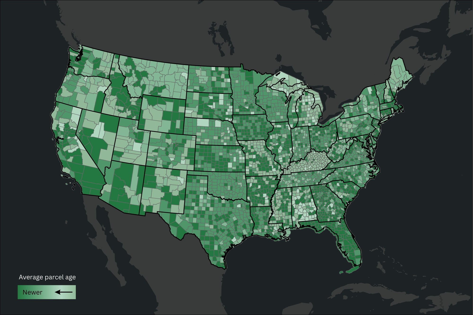
Regrid publishes currency data per county. See when a county was last updated here.
Important attributes can provide additional context about currency.
For example, fields such as tax year or transaction dates tell you something different from a general source-refresh date.
If tax information matters to your workflow, ask: Which tax year does this record represent?
If transactions matter, examine the transaction dates themselves.
A sophisticated evaluation therefore looks at both:
Source currency: When did the provider most recently refresh the source data?
Attribute-level currency: What period or event does the specific field you depend on represent?
Those two answers are related, but they are not necessarily the same.
Parcel records can contain information produced through different source processes.
That means important elements within the same record may not all reflect the same point in time.
When evaluating a dataset, ask:
-
-
- Which fields matter most to our workflow?
- What date or reporting period does each one represent?
- Could some fields be older than the overall source refresh suggests?
- How is that difference represented in the data?
-
This is more useful than assigning one universal “freshness” date to the entire parcel record.
Related datasets may have their own sources and refresh schedules.
A matched or enriched dataset should therefore not automatically be assumed to have the same currency as the underlying parcel record.
If an enrichment is important to your workflow, ask:
-
-
- When was the parcel source refreshed?
- When was the matched or enriched dataset refreshed?
- Does that dataset expose its own currency information?
- Which of those dates is most relevant to the decision you are making?
-
A newer date is useful only in context.
Some parcel attributes can change frequently, while others may remain stable for long periods.
The most recent date is only useful when you understand what it represents. Some parcel attributes change frequently, while others may remain stable for long periods. Currency should therefore be judged against the needs of the workflow rather than treated as a standalone quality score.
That keeps currency evaluation focused on the actual workflow rather than treating the newest timestamp as a quality score on its own.
When comparing providers, ask:
-
-
- When was data for the geographies we care about last refreshed?
- What does that refresh date actually represent?
- Which attributes have their own dates or reporting periods?
- Do key fields such as tax year or transaction dates provide additional currency context?
- Do matched or enriched datasets update separately?
- If different elements update at different times, how is that represented?
- Is the level of currency appropriate for our use case?
-
The goal is to understand the currency of the information that matters, not simply to identify the newest date in the dataset.
See how Langan uses regularly refreshed Regrid parcel data to improve confidence in the property data delivered to their clients

"With the ability to receive frequent updates on information, we have a higher level of confidence, which enhances our clients’ experience with Langan."
Brett Milburn, Director of Digital Solutions/VP, Langan Engineering
For base parcel data, Regrid uses ll_last_refresh to show when it most recently refreshed data from the source and publishes refresh information at the county or county-equivalent level. Attributes such as tax year and transaction dates can provide additional time context within the data itself, while separate matched datasets have their own currency information where relevant.
Together, those signals let teams evaluate the currency of the particular fields and datasets their workflow depends on rather than relying on a single freshness date.
The broader lesson is that parcel-data quality depends on understanding not just how recently data was refreshed, but whether the information that matters to your workflow is current enough, complete enough, and transparent enough to support the decisions you need to make.
🔗 Learn more: How to evaluate parcel data quality: A buyer’s guide
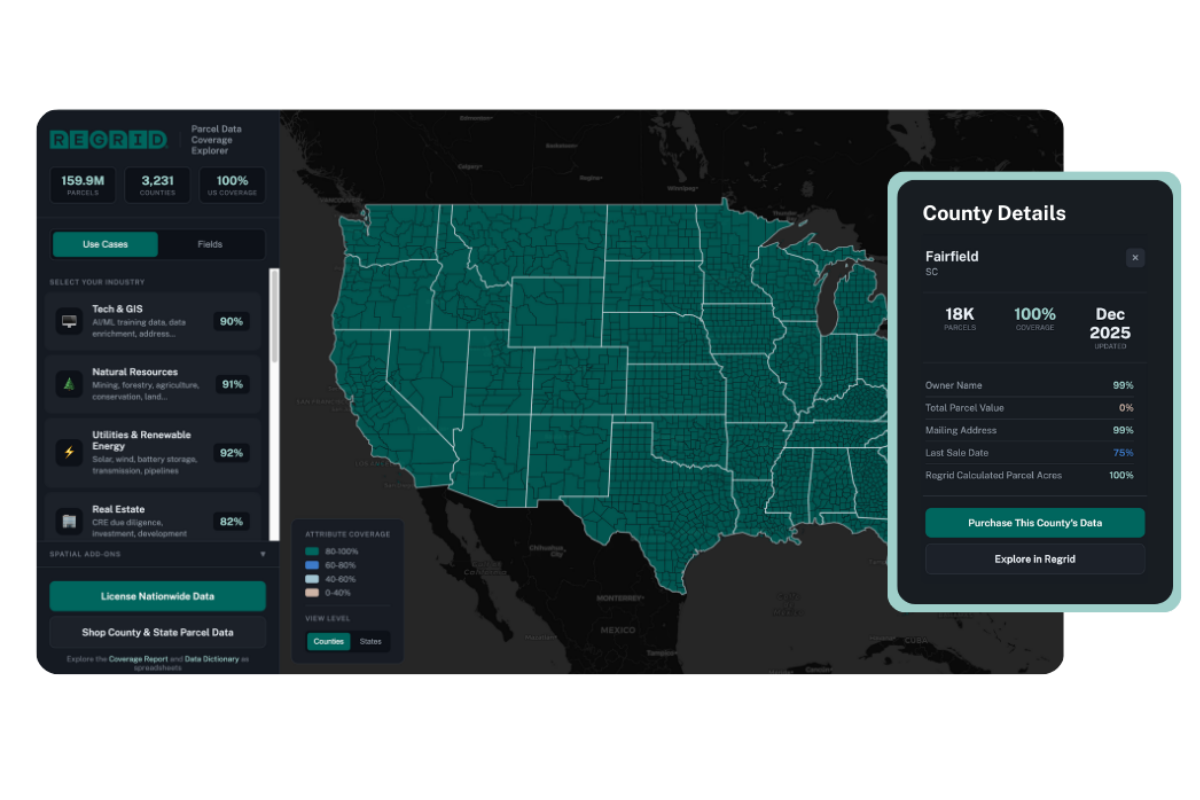
Check Regrid parcel-data coverage and refresh information
See live coverage, refresh dates, and attribute completeness. Click any county to see parcel counts and field-by-field coverage, then continue to purchase or explore data in the Regrid web app.
-
Parcel-data currency describes how current the information is relative to the real-world conditions or events it represents.
-
Not necessarily. Different fields can represent different reporting periods or update processes.
-
Look at important date- or period-specific attributes within the dataset, such as tax year and transaction dates, and check the currency of any matched or enriched datasets you rely on.
-
No. What matters is whether the specific information your workflow depends on is current enough for the decision you need to make.


















(888) 4RE-GRID
Subscribe for email updates