
-
Products ⌄
 Premium parcels
.png) AI and ML tools
AI and ML tools
 Roadway ROW
 Spatial add-ons
 Delivery methods
- Industries ⌄
- Data store
- Property App
- Esri users
-
Resources ⌄
 Content
 Programs
.png) Shop
Shop
- Contact us









.svg)

.png)























-
Products ⌄
AI and ML tools
Roadway ROW
-
Industries ⌄
-
Resources ⌄
Jump straight to:
Understanding parcel ownership data
“Ownership data” can sound straightforward: a name associated with a parcel.
In practice, evaluating ownership data means understanding where that information came from, how the source structures it, how well it is populated, whether it has been standardized or processed, and how quickly ownership changes are reflected.
Different ownership datasets can answer different questions, so the presence of an owner field alone does not tell you whether the data is suitable for your workflow.
For teams using ownership data for land acquisition, owner outreach, underwriting, property research or analysis across many jurisdictions, those differences can materially affect what the data can support.
Key takeaway: A strong ownership-data evaluation process looks at five things:
-
-
-
Source: What record or authority does the ownership information come from?
-
Structure: How does the source represent owner names and ownership information?
-
Coverage: How well is the information populated in the geographies you need
-
Standardization: What has been preserved from the source, and what has been processed or standardized
-
Currency: How quickly can the underlying ownership source reflect changes?
-
-
Different ownership fields and datasets can answer different questions. A useful evaluation starts by identifying the ownership question your workflow needs to answer, then determining which source, field and update process is appropriate for it.
Regrid’s primary ownership field, owner, comes from the authoritative county source and represents the local source’s record of the parcel owner’s name. Regrid also retains unmodified_owner, which preserves the owner name exactly as received from the county before standardization of punctuation, formatting or common government-owner names.
That distinction is useful when evaluating ownership data because it allows users to work with a primary field designed for analysis while still retaining access to the underlying source value when that context matters
But local sources do not all structure owner information in the same way.
Some may provide:
-
-
- one owner-name field;
- several owner fields;
- separate ownership classifications; or
- additional locally specific information.
-
That makes source documentation important.
When evaluating ownership data, ask:
-
-
- Where did this value come from?
- Is it preserved directly from the local source?
- Has it been standardized or otherwise processed?
- Are there additional ownership fields that serve a different purpose?
-
Knowing that an owner name exists is less useful if you cannot tell what the field actually represents.
One common misconception is that owner names can always be reliably divided into first and last names.
Local government sources do not necessarily track them that way.
As our schema documentation explains, first and last names can be difficult to extract consistently and accurately from assessor data.
For example, if the source provides "Harriet James" as one unstructured owner-name value, it may not be possible to determine confidently whether “Harriet” or “James” is the first or last name without making an assumption.
Similar ambiguity can arise whenever the structure of the source record does not map neatly to the fields a downstream user would like to have.
The important principle is that a provider should be transparent about what the source supplied and what processing has been applied to it.
A neatly structured field is not automatically more accurate if creating that structure required unsupported assumptions.
Ownership information can serve more than one purpose.
A locally supplied field may preserve the terminology or classification used by the source.
A standardized field can make broader analysis across jurisdictions easier.
For example, our owntype field preserves the county’s own classification of owner type where one is provided. Because those classifications vary between counties and are often absent, we also provide lbcs_ownership, a standardized nationwide classification designed to consistently identify categories such as private, city, county, state, federal or tribal ownership.
Neither approach is automatically better. The right choice depends on the workflow.
If you need to understand exactly how a local authority represents the ownership record, preserving the source value may matter.
If you are comparing ownership characteristics across many jurisdictions, a standardized classification may be more useful.
When comparing providers, make sure you can distinguish between:
-
-
- the ownership information received from the local source;
- any fields the provider has standardized or classified for cross-jurisdiction use; and
- separate ownership datasets sourced or updated through a different process.
-
🔗 Related: What makes a parcel-data schema fit for enterprise use?
Ownership currency depends on which underlying record you are using.
Standard parcel ownership information is tied to the local parcel or assessment source. Our Enhanced Ownership dataset adds another ownership view by combining assessor ownership with deed ownership from county recorder records.
In Enhanced Ownership, eo_owner comes from assessor data, while eo_deedowner reflects the name recorded on the deed by the county recorder. Because deed recordings can be received more frequently than the certified assessor file, they can reflect ownership changes before the assessor record catches up.
📄 Learn more about Regrid Enhanced Ownership
We receive updates to Enhanced Ownership daily, although actual currency varies by county because local authorities publish on different schedules. We expose ownership-specific currency through eo_lastrefresh at the parcel level and through jurisdiction-level coverage information.
A recent update does not necessarily mean the property changed hands. An Enhanced Ownership record can also be updated because another value changed, such as an address, spelling or formatting. Buyers should therefore understand both when a record changed and what changed within it rather than interpreting every recent timestamp as a new ownership event.
When evaluating ownership currency, ask:
-
-
- What underlying record supplies the ownership information?
- How frequently does that source update?
- Is ownership based on assessor records, recorder/deed records, or both?
- Does the dataset expose ownership-specific currency information?
- Does a recent record update necessarily represent an ownership change?
- Which ownership source is most appropriate for the decision your workflow needs to make?
-
An ownership field appearing in a schema does not mean it will be populated for every parcel.
Availability can vary because of:
-
-
- differences in local source data;
- parcel type;
- jurisdictional practices; or
- legal and disclosure restrictions.
-
For example, our documentation notes that owner information may not be tracked for some public land or rights-of-way. In those cases, a blank owner field may simply reflect what the local source provides rather than a problem with the data. That is why missing ownership values need to be interpreted in the context of the source and the geography, rather than treated automatically as a provider-quality problem.
If ownership is critical to your use case, check:
-
-
- field-level fill rates in the places you need;
- whether gaps are concentrated in particular jurisdictions;
- why values may be unavailable; and
- whether another ownership dataset provides information relevant to the workflow.
-
🔗 Related: Why does parcel-data coverage vary, and what should buyers look for?
Case study: How Foundational Land Co. uses Regrid ownership data in nationwide land diligence
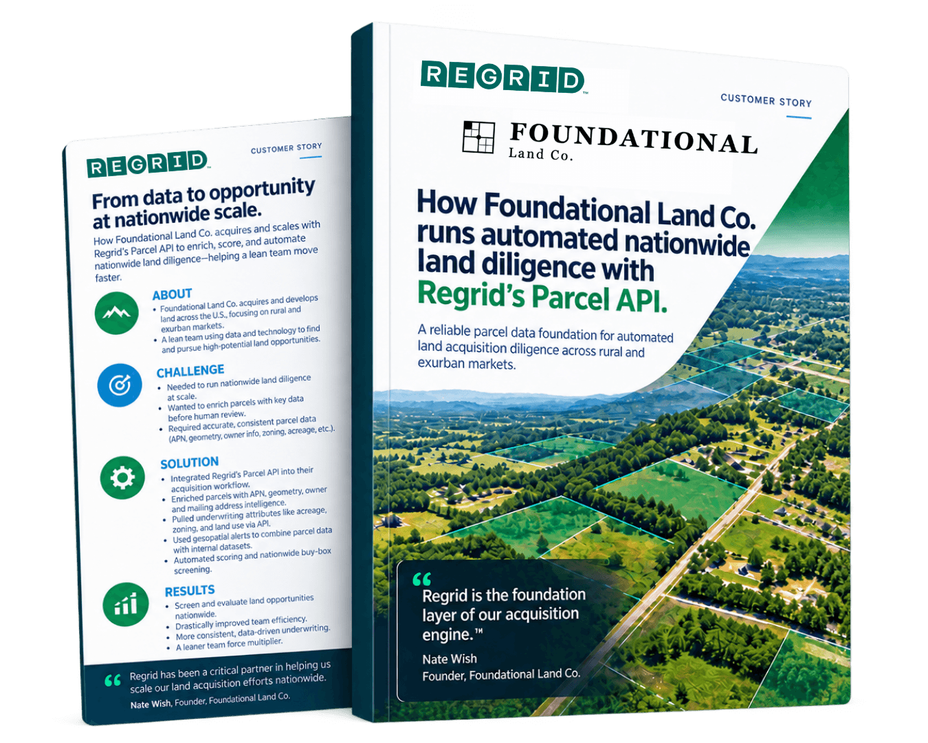
Foundational Land Co. uses Regrid's Parcel API in an automated nationwide land-acquisition workflow. Owner names and mailing addresses help the team identify absentee owners, lenders or trusts, and verify seller location. Combined with parcel identity, geometry and other property attributes, that ownership data becomes part of the team's automated diligence process.
Before choosing a provider, ask:
-
-
- What source does the primary owner field come from?
- Can we access the original source value as well as any processed or standardized version?
- How does the source structure owner names?
- Has name parsing or other standardization taken place?
- Can we distinguish locally supplied ownership classifications from standardized ones?
- How well are the ownership fields populated in our target geographies?
- How frequently does the underlying ownership source update?
- Does the provider offer ownership information from assessor records, recorder records or both?
- Does the dataset expose ownership-specific currency information?
- If a record was recently updated, can we determine whether ownership actually changed?
-
A useful comparison focuses on what each ownership field represents, where it came from, how it has been processed and whether it answers the specific ownership question your workflow needs to solve.
Evaluate parcel data quality with confidence
Get the full framework for assessing currency, coverage, completeness, provenance, standardization, geometry, compliance, and overall fit for your workflow.
Regrid provides several ownership fields designed for different jobs.
The primary owner field comes from the authoritative county source and is Regrid's recommended field for general ownership analysis. The unmodified_owner field preserves the owner name exactly as received from the county when the original source value is needed.
For ownership classification, locally supplied owntype preserves the county's own classification where available, while lbcs_ownership provides a standardized nationwide ownership category for analysis across jurisdictions.
For workflows that need an additional ownership view, Enhanced Ownership combines assessor ownership with deed ownership from county recorder records. Updates are provided to Regrid daily, with parcel-level ownership currency exposed through eo_lastrefresh; actual currency varies by county.
Together, these options allow users to choose the ownership information that best fits the question they are trying to answer rather than treating “owner data” as a single interchangeable field
Smarter location decisions start here
-
Look at the source of the ownership information, how owner names are structured, field coverage in the geographies you need, whether values have been standardized or preserved from the source, and how frequently ownership changes are reflected.
-
Local government sources do not always provide first and last names as separate fields. When a name is supplied as a single value, reliably separating it may require assumptions that are not supported by the source.
-
Currency depends on the underlying source and update process. Parcel or assessment records and recording-based ownership datasets can reflect changes on different timelines, so buyers should understand what causes each ownership field to update.
-
Regrid's standard ownership fields come from locally sourced parcel records. Enhanced Ownership is a separate matched dataset based on recording transactions and is designed for workflows where more frequent ownership updates may be important.


















(888) 4RE-GRID
Subscribe for email updates