


.svg)


Latest Blog Post
Parcel data update | June 2026
on June 5, 2026
 Premium parcels
 Delivery methods
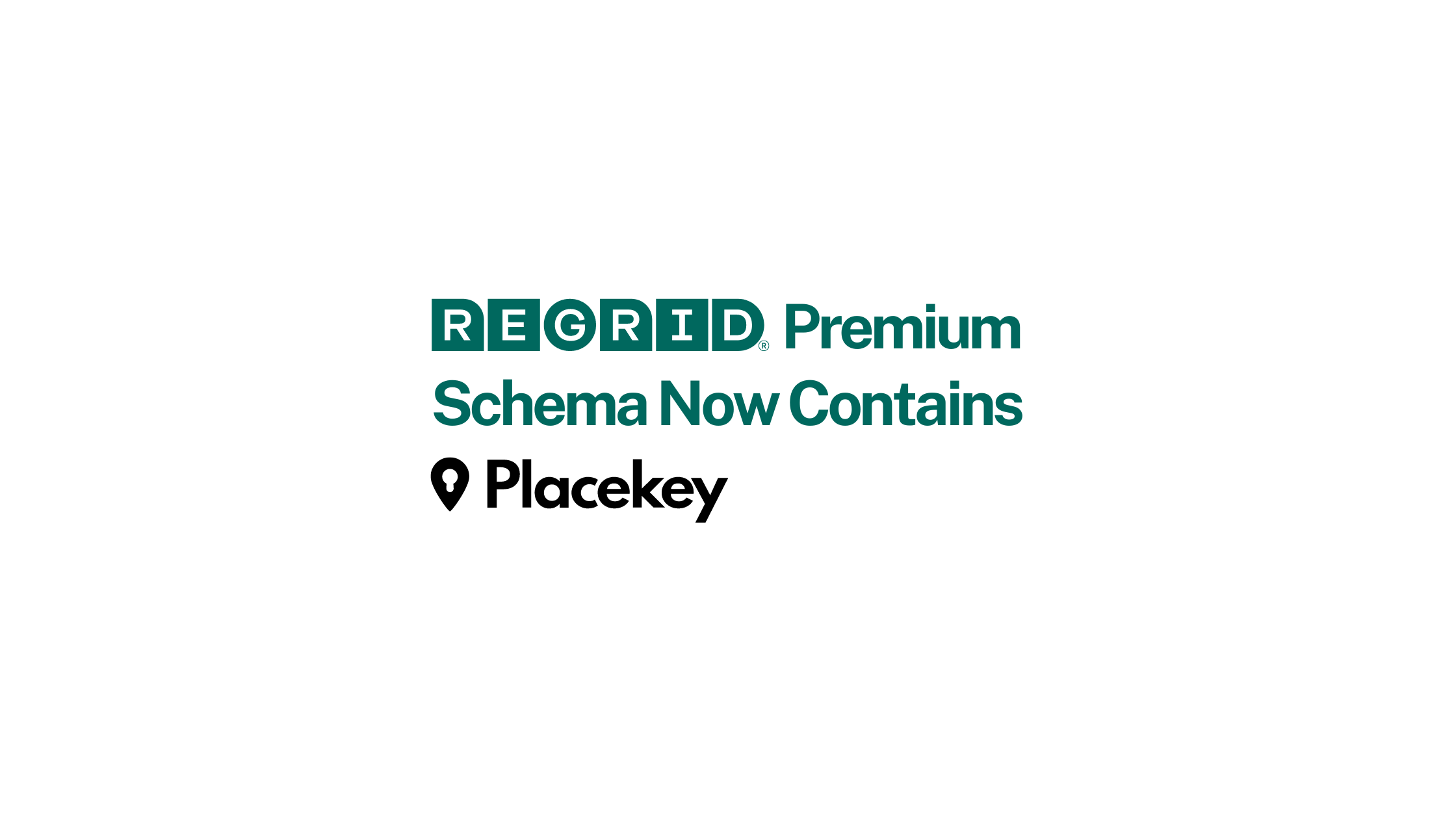
As a founding partner of Placekey, Regrid is excited to have our parcels attributed with Placekey. Placekey is an identifier for any physical place... Read More
.png)
What is Land Use & why does it matter? Here at Regrid we’ve been in the parcel boundary business for a while, and some members of our team have been... Read More
.jpg)
As we have been communicating in our monthly email the past few months we will be making some changes to the Regid Parcel schema in late October of... Read More
