


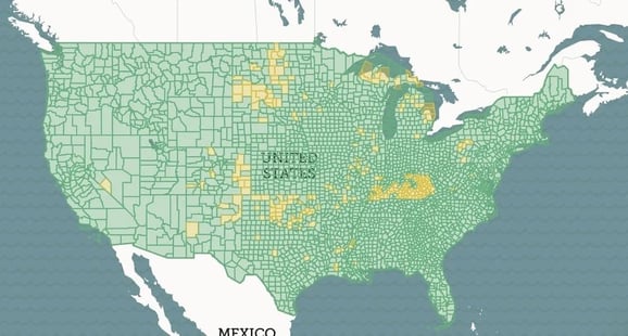
.png)


.svg)


Jan 2021 - Parcel Data Update
Dear Friends of Loveland Parcel Data and landgrid.com,
A summary of updates in December of 2020 and the upcoming pipeline is below.
Key Data Stats:
- Average parcel age - 205 days, up from 193 last month.
- Average county age - 277 days, up from 254 last month.
- Added 41,571 parcels and refreshed 82 counties since last month.
In keeping with these stats, please take a moment to review our end of the year parcel data report from 2020 - This report shows all the key improvements we made to our data in 2020 - https://landgrid.com/reports/2020report

USPS Vacancy, Residential indicators: Now updated monthly. Updated in December 2020, next update in January.
Coverage Report: Updated for this month and available here:
https://docs.google.com/spreadsheets/d/1q0PZB72nO8935EMGmsh3864VjEAMUE-pdHcPkoAiS5c/
For all full dataset customers, the updated data is available for download to bulk data clients in these formats: GeoPKG .gpkg (suggested), GeoJSON, Shapefile, and Postgres SQL files. In addition, this data has been updated on the landgrid.com website.
If your organization uses a custom export we are updating your data at the moment and if you don’t see the latest updates, please drop us a line.
A Data Dictionary for the Loveland Standard Schema is always available here:
https://docs.google.com/spreadsheets/d/14RcBKyiEGa7q-SR0rFnDHVcovb9uegPJ3sfb3WlNPc0/
A machine-readable version of this list is included in the `verse` table available in all the formats above as well as CSV format for use in spreadsheets. To find the latest updates in verse, sort by 'last_refresh' and use the 'filename_stem' column to identify the file.
Data refreshed or added from the county in December and live now:
( Asterisk * indicates newly added county)
--------------------------------------------------
Alabama - Jefferson
California - El Dorado
Georgia - Chatham, Cobb, DeKalb, Gwinnett
Indiana - Allen, Hamilton, Lake, Madison, Marion, St. Joseph, Vanderburgh
Kentucky - Oldham
Michigan - Branch, Menominee, Oakland
Minnesota - Mower
Missouri - Adair, Cole, Jackson, Madison, St. Louis City, Ste. Genevieve, Wayne
Northern Mariana Islands - Rota, Saipan, Tinian
North Carolina - Mecklenburg, Wake
Ohio - Pickaway
Oregon - Multnomah
Pennsylvania - Philadelphia
South Carolina - Abbeville, Aiken, Allendale, Anderson, Bamberg, Beaufort, Berkeley, Calhoun, Charleston, Cherokee, Chester, Chesterfield, Colleton, Darlington, Dillon, Dorchester, Edgefield, Fairfield, Florence, Georgetown, Greenville, Greenwood, Hampton, Horry, Jasper, Kershaw, Lancaster, Laurens, Lee, Lexington, Marion, Marlboro, McCormick, Newberry, Oconee, Orangeburg, Pickens, Richland, Saluda, Spartanburg, Sumter, Union, Williamsburg, York
Tennessee - Shelby
Texas - Tarrant
Virginia - Mecklenburg, Rockingham
Wisconsin - Milwaukee
In the current pipeline for updating in January 2021
--------------------------------------------------
West Virginia
Wyoming
Washington
North Carolina
Oregon
In the pipeline for updating in February 2021
--------------------------------------------------
Alaska
Hawaii
Indiana
Pennsylvania
Based on feedback and county challenges, pipeline planning is always subject to change. As always, please contact us if you have any questions about accessing or using the data, you find issues with any of our data, or you have any comments or questions about our data in specific areas or states. We also love to hear from you about which counties or regions you’d like to see us update next, as it helps inform our planning process.
Thank you for being a part of Loveland!
Happy Mapping!
Blake Girardot
blake@landgrid.com
Loveland Data Team
313-649-LAND
