regrid_tm_forest
Sign In
  • Products ⌄

    Regrid premium parcel data menu icon Premium parcels

    • global-icon Global parcels
    • US Parcel Data U.S. parcels
    • Europe-icon-navigation European parcels
    • Canada Parcel Data Canadian parcels
    • map-location-pin-regrid-icon U.S. coverage map

    ai-ml-navigation-icon (1) AI and ML tools

    • mcp-server-navigation MCP Server

    roadway-row-icon_2025-1 Roadway ROW

    • roadway-row-icon_2025 U.S. roadway polygons

    Spatial add-ons menu icon Spatial add-ons

    • Matched building footprints menu icon Matched building footprints
    • Matched secondary addresses menu icon Matched secondary addresses
    • Standardized zoning menu icon Standardized zoning
    • Enhanced property ownership menu icon Daily ownership updates

    Data access icon Delivery methods

    • Bulk files icon Bulk files
    • Feature Service Feature service
    • api-icon_2025 Parcel API and tiles
    • Green icon of a shopping cart with check mark Data store
  • Industries ⌄

    industries-we-serve Industries we serve

    • aec-navigation-icon Architecture, engineering, and construction (AEC)
    • re-navigation-icon Real estate
    • gov-navigation-icon Government
    • ag-navigation-icon Agriculture
    • energy-navigation-icon Renewable energy and utilities
    • telco-navigation-icon Broadband and telecommunications
    • insurance-navigation-icon Insurance and finance
    • ai-ml-navigation-icon AI and machine learning
    • transportation-navigation-icon Transportation and logistics
  • Data store
  • Property App
  • Esri users
  • Resources ⌄

    Support menu icon Support

    • Support site menu icon Support site
    • Tutorial videos menu icon Tutorial videos
    • blog_resources_icon-1 Parcel schema
    • Regrid icon Sign into the Regrid Property App

    Content menu icon Content

    • Blog menu icon Blog
    • Customer stories menu icon Customer Stories
    • Reports menu icon Reports
    • data-store-2 Coverage map
    • Green file icon representing all resources All resources

    Programs menu icon Programs

    • Regrid giving menu icon Regrid Giving
    • dwp-navigation-icon copy Data with Purpose

    shop icon Shop

    • merch_icon_2025 Regrid Merch
  • Contact us

Contact us
  • Products ⌄

    Premium parcels

    • Global parcels
    • U.S. parcels
    • European parcels
    • Canadian parcels
    • U.S. coverage map

    Spatial add-ons

    • Matched building footprints
    • Matched secondary addresses
    • Standardized zoning
    • Daily ownership updates

    AI and ML tools

    • MCP Server

    Delivery methods

    • Bulk files
    • Feature service
    • Parcel API and tiles
    • Data store

    Roadway ROW

    • U.S. roadway polygons
  • Industries ⌄

    Industries we serve

    • Architecture, engineering, and construction (AEC)
    • Real estate
    • Government
    • Agriculture
    • Renewable energy and utilities
    • Broadband and telecommunications
    • Insurance and finance
    • AI and machine learning
    • Transportation and logistics
  • Data store
  • Property App
  • Esri users
  • Resources ⌄

    Support

    • Support site
    • Tutorial videos
    • Parcel schema
    • Sign into the Regrid Property App

    Programs

    • Regrid Giving
    • Data with Purpose

    Content

    • Blog
    • Customer Stories
    • Reports
    • Coverage map
    • All resources

    Shop

    • Regrid Merch
  • Contact us
00d 00h 00m 00s
Limited-time CRE data offer: Discounted regional parcel packages available through December 11 Contact sales to claim your discount
Claim your CRE discount

COMMERCIAL REAL ESTATE

Your entire market.

One standardized parcel dataset.

Get parcel data for the metro areas and regions you work in, without licensing nationwide coverage or assembling numerous files yourself.

Build your custom order
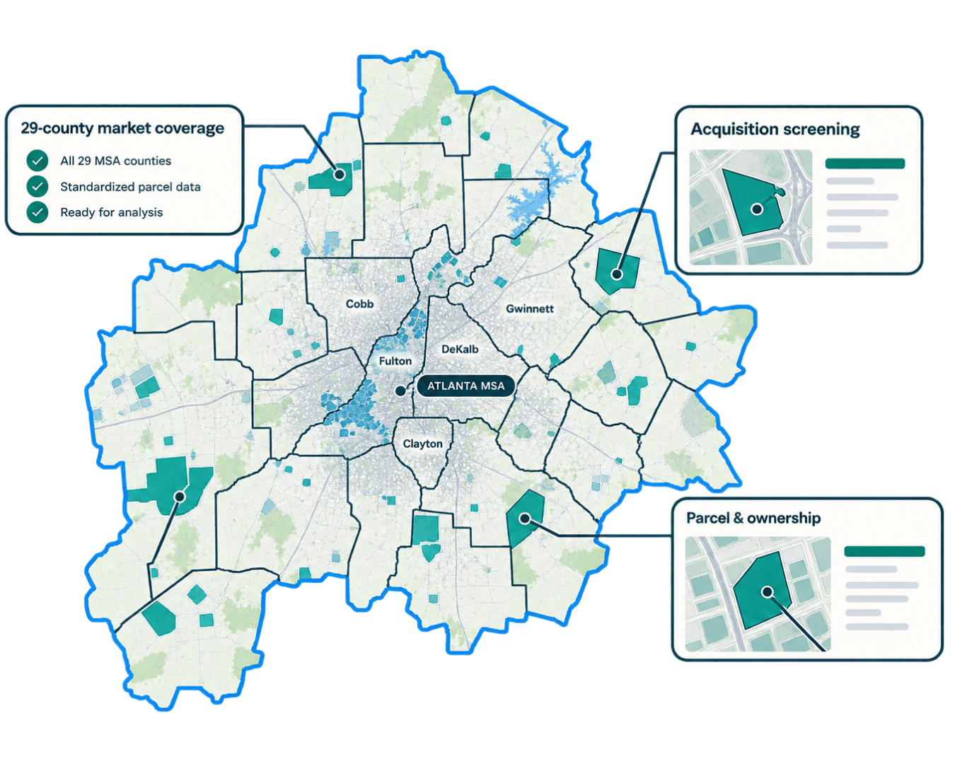
Stylised map of Atlanta MSA

Work across markets, not across data sources

Parcel records are maintained locally, with different field names, formats, and update schedules. Regrid brings them together into a standardized schema in various formats to suit your needs, so you can spend less time preparing data and more time putting it to work.

Get the coverage you need

Access parcel data for entire MSAs, multiple counties, or custom regional footprints, without purchasing geographic coverage you won't use.

Skip data cleansing and prepping across files

Work with already normalized parcel boundaries and attributes across any jurisdictional breadth. Spend your time on your needed analysis, not data cleaning and preparation 

Use the data your way

Download parcel geometry, ownership information, and other available property attributes for use in your GIS, acquisition models, and internal analysis.

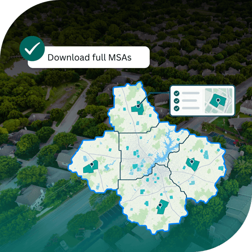
Mockup of multi-county map overlaid on aerial image of town
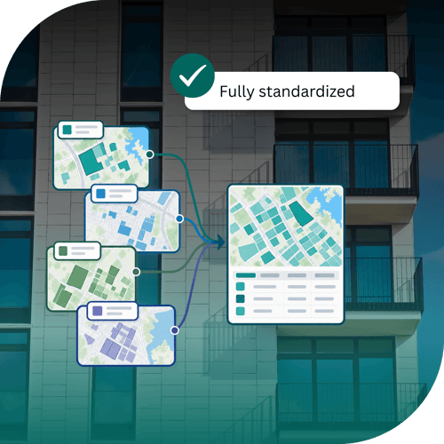
Mockup of multiple datasets being standardized into one comprehensive view. Overlaid on image of a high rise building.
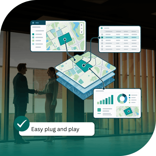
Stack of datasets with arrows to different applications and dashboards

LIMITED TIME OFFER ⏰

Regional CRE data packages with volume discounts starting at 10%

For a limited time, get special territory pricing on standardized parcel data for your target area of interest, whether it is individual counties whole MSAs, or larger regions. The more data you license, the greater your potential savings.

Promotional pricing is available exclusively through Regrid's sales team. Build your package below and submit your request to access the discount.

How to claim your discount

Offer ends December 11. Discounts are not available
through regular Data Store checkout.

1. Build your package

Use the interactive tool below to select the counties and regions you need, along with your preferred data options.

2. Submit your request

Send your selections to our sales team to access the limited-time promotional pricing. No purchase commitment required.

3. Hear from us within one business day

We'll review your request, confirm your discounted pricing, and help you complete your purchase.

Build my custom order


Build your package

Build your custom order

Pick the states, counties, or metro areas you need and tell us what to include. Our team will reply within one business day with your discounted pricing.

Rather talk it through? Schedule a call with a parcel data expert.

My project also needs

Your custom order

Schema
Standard Schema
The core standardized parcel record, including parcel IDs, addresses, values, and parcel boundaries.
Premium Schema
Everything in Standard, plus enhanced location context such as normalized land use codes, vacancy and residential indicators, building counts, building footprint square footage, and FEMA flood zones.

Not sure? Pick one and our team can walk you through the difference.

File format or delivery method (pick any)

We will reply within one business day. No commitment to purchase.

Our parcel data schema

What's in the dataset?

From early site screening to ownership research and market analysis, Regrid brings parcel boundaries and property attributes together in one standardized dataset.

Boundaries and identifiers
Parcel boundaries and identifiers

Parcel geometry, assessor parcel numbers (APNs), Regrid parcel IDs, acreage, and parcel square footage for mapping and analysis.

Ownership and mailing address
Ownership and mailing addresses

Assessor-recorded owner names, owner types, and tax mailing addresses to support property research and acquisition outreach.

Location and land use
Property location and land use

Property addresses, county and state identifiers, local land use classifications, and available zoning codes and descriptions.

Buildings and site characteristics

Available building area, year built, number of structures, stories, and units to help assess existing site improvements.

Property values and taxes

Assessor-reported land, improvement, and total parcel values, along with available annual property tax information.

Sales and property records

Last sale dates and prices, ownership transfer dates, legal descriptions, and source record links for early-stage diligence.

Field availability and completeness vary by jurisdiction. Some records may not contain every attribute.

Explore data schema
Explore data coverage

Spatial add-ons

Need more spatial context? 

Optional building footprints, zoning data, and secondary addresses matched to Regrid parcels.

Footprints
Addresses
Zoning
Ownership
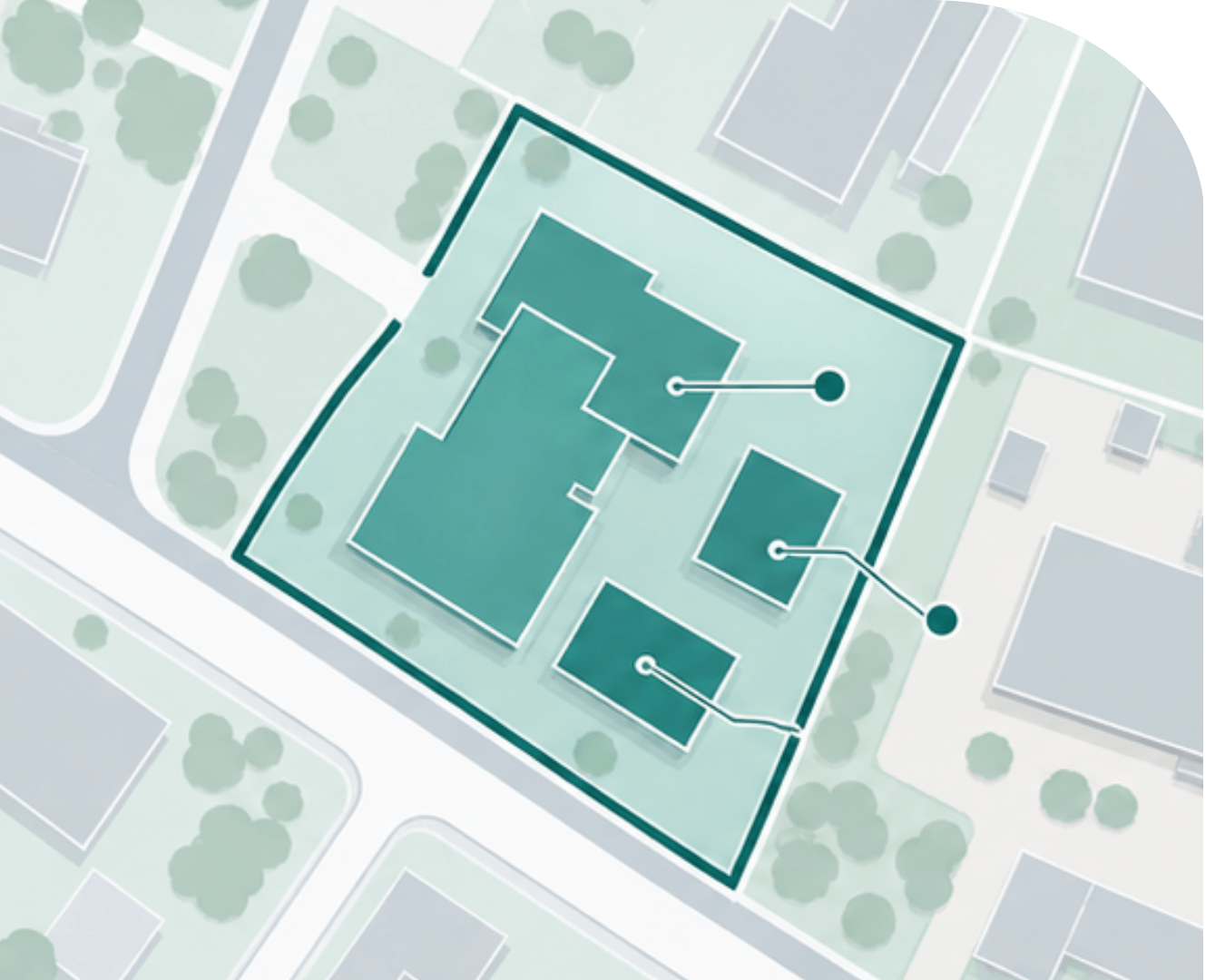
Matched Building Footprints

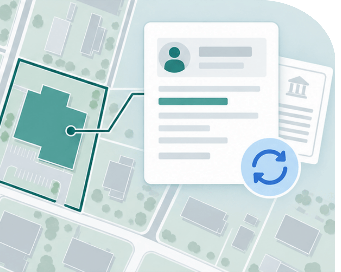
See what's built on each parcel

Connect building geometries and attributes to the parcels beneath them. Assess existing development, compare building and lot areas, and bring more detailed site context into your analysis.

Learn more about our Matched Building Footprints
Footprints
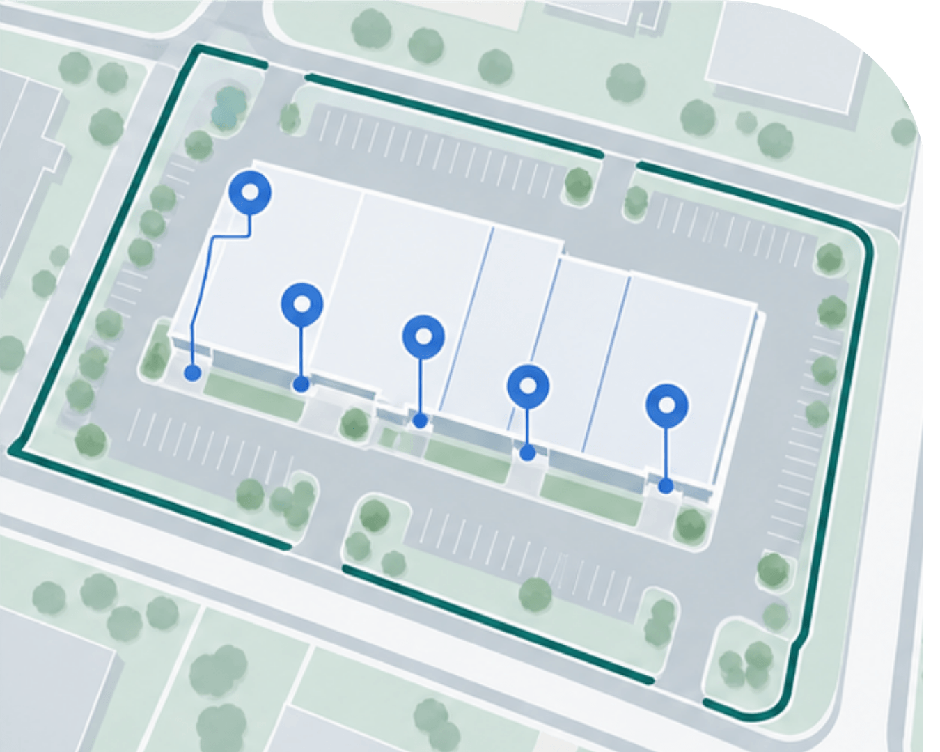
Matched Secondary Addresses

Find more addresses within a property

Go beyond the primary property address with additional matched addresses for suites, units, floors, and multi-building properties. Get a more complete picture of the locations associated with each parcel.

Learn more about our Matched Secondary Addresses
Addresses
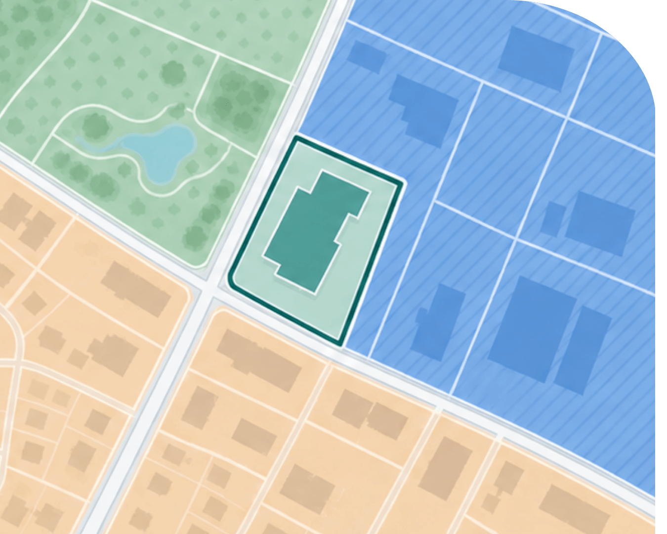
Standardized Zoning

Understand development potential across markets

Explore standardized zoning classifications, permitted uses, and available development controls alongside parcel data. Compare potential sites across jurisdictions without starting from scratch with every local zoning system.

Learn more about Standardized Zoning
Zoning
Enhanced Ownership

Get more current property ownership context

Add frequently updated assessor and deed ownership information, including available owner mailing addresses. See when individual records were refreshed to support acquisition research and ownership due diligence.

Learn more about Daily Ownership Updates
Ownership
Image alt text
Image alt text
Image alt text
Accordion one header
This clarity allows you to strategically leverage existing talent and address skills gaps effectively, ensuring your team is always prepared to meet current and future demands. Gain a transparent and dynamic view of the available skills within your team to better manage their employability.
Image alt text
Accordion one header
This clarity allows you to strategically leverage existing talent and address skills gaps effectively, ensuring your team is always prepared to meet current and future demands. Gain a transparent and dynamic view of the available skills within your team to better manage their employability.
Image alt text
Accordion one header
This clarity allows you to strategically leverage existing talent and address skills gaps effectively, ensuring your team is always prepared to meet current and future demands. Gain a transparent and dynamic view of the available skills within your team to better manage their employability.
Image alt text
Image alt text
Image alt text
Image alt text
Accordion one header
This clarity allows you to strategically leverage existing talent and address skills gaps effectively, ensuring your team is always prepared to meet current and future demands. Gain a transparent and dynamic view of the available skills within your team to better manage their employability.
Image alt text
Accordion one header
This clarity allows you to strategically leverage existing talent and address skills gaps effectively, ensuring your team is always prepared to meet current and future demands. Gain a transparent and dynamic view of the available skills within your team to better manage their employability.
Image alt text
Accordion one header
This clarity allows you to strategically leverage existing talent and address skills gaps effectively, ensuring your team is always prepared to meet current and future demands. Gain a transparent and dynamic view of the available skills within your team to better manage their employability.
Image alt text

Case studies

Trusted by the teams behind complex property decisions

From commercial property risk assessment to large-scale site analysis, organizations use Regrid's standardized parcel data to make informed decisions across their markets.

CREtelligent: Faster property due diligence starts with the right parcel

For CREtelligent, accurate parcel identification is the first step in commercial real estate risk analysis.

See how they use Regrid to identify properties and support automated environmental risk assessment and due diligence for commercial real estate professionals.

Explore the CREtelligent case study
CREtelligent logo
Esri Logo
Autodesk logo
Langan logo
Burns & McDonnell logo
Agcor logo
Bloom Spatial logo
UC Berkeley logo
Upstream Tech logo
Crexi logo
Dycom logo
Mapbox logo
CQA logo
TomTom logo
Amazon logo
Polaris logo
United States Census Bureau logo
BCG logo

Have questions about your parcel data needs?

Not sure which counties to include, which data fields you need, or how best to work with Regrid data?

Book a short conversation with our team to talk through your project, explore your options, and find the right approach for your CRE workflow.

Choose a time that works for you using the calendar.

logo

(888) 4RE-GRID

  • Contact us
  • Customer support
  • Privacy policy
  • Terms of use
  • Cookie Preferences

Subscribe for email updates

Company

  • About Regrid
  • Careers
  • Press
  • Shop Regrid merch

Resources

  • Coverage map
  • Support center
  • Reports
  • Regrid status page

Enterprise Solutions

  • U.S. parcels
  • Canada parcels
  • Europe parcels
  • Parcel and tiles API
  • Roadway Right-of-Way

Self-serve solutions

  • Regrid Property App
  • Shop the Data Store
  • API monthly plans