
-
Products ⌄
 Premium parcels
 AI and ML tools
 Roadway ROW
 Spatial add-ons
 Delivery methods
- Industries ⌄
- Data store
- Property App
- Esri users
- Resources ⌄
- Contact us
































-
Products ⌄
AI and ML tools
Roadway ROW
-
Industries ⌄
-
Resources ⌄
00d
00h
00m
00s
Limited-time CRE data offer: Discounted regional parcel packages available through December 11
Contact sales to claim your discount

COMMERCIAL REAL ESTATE | CUSTOMER STORY
How CREtelligent uses Regrid parcel data to power faster property due diligence
Accurate parcel identification is the starting point for CREtelligent's automated property risk analysis. See how Regrid helps power its RADIUS platform, supporting commercial real estate due diligence reports in under a minute.
INDUSTRY
Commercial Real Estate (CRE)
REGION
USA, Nationwide
PRODUCT
Parcel Data API
WEBSITE
Why accurate parcel identification matters in CRE due diligence
CREtelligent helps lenders, REITs, underwriters, brokers, developers, and consultants evaluate property risks through its RADIUS platform.
Whether investigating environmental risks, assessing a potential acquisition, or ordering a survey, accurate property identification is the essential first step.
Regrid provides the parcel boundaries that help RADIUS users identify the properties they're evaluating and build their due diligence on a reliable foundation.
CHALLENGE
Getting the property right from the start
For CREtelligent, parcel identification is the first step in the due diligence process. An incorrect or incomplete boundary can affect everything that follows, from environmental risk assessments to survey orders and site investigations.
This is particularly important when properties involve multiple buildings, several lots, or noncontiguous parcels. Missing part of a site can mean overlooking relevant risks, commissioning unnecessary work, or delaying a transaction.
As demand for RADIUS grew, CREtelligent needed a data partner that could provide accurate parcel boundaries at scale, maintain reliable performance under high-volume use, and support its evolving due diligence workflows.
"Without good parcel boundaries up front, you risk ordering the wrong survey, missing part of a site, or making someone go back out to the field. It delays closings, increases costs, and creates a bad experience for everyone."
- Christopher Harrell, CTO & CFO at CREtelligent
SOLUTION
Parcel data built into the due diligence workflow
CREtelligent integrated Regrid's Parcel API directly into RADIUS, giving users access to parcel boundaries at the very beginning of their due diligence process.
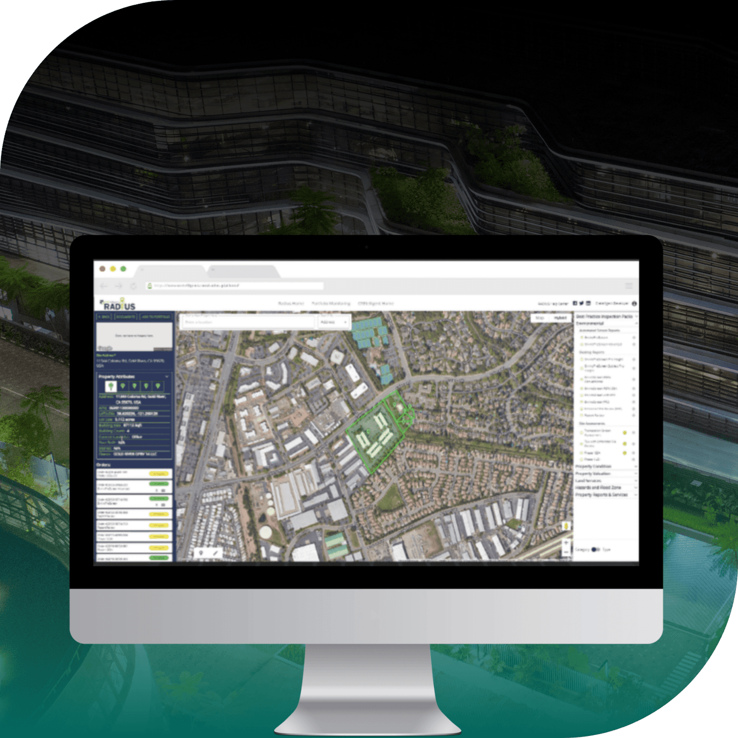
When users open the platform, Regrid parcel boundaries appear over Google Maps, helping them identify the exact property they want to investigate, including sites spanning multiple lots or noncontiguous parcels. RADIUS then brings together additional information associated with the selected property, including zoning, ownership, and environmental data.
From there, users can generate automated risk reports or commission professional services such as Phase I Environmental Site Assessments and surveys, all starting from the identified parcel.
To support CREtelligent's high-volume requirements, the Regrid team worked closely with CREtelligent during the initial API integration, helping configure and fine-tune the connection for reliable performance within RADIUS.
RESULTS
Faster reporting, fewer errors, and room to scale
With Regrid parcel data integrated into RADIUS, CREtelligent has established a reliable starting point for its due diligence workflows. Users can identify the property they need to investigate and move directly into risk analysis, with automated reports generated in under a minute.
Starting with accurate parcel boundaries also helps CREtelligent reduce avoidable errors and rework. By helping users identify the correct property from the outset, RADIUS reduces the risk of missed site areas, unnecessary survey work, and delays caused by incorrect property identification.
Behind the scenes, Regrid's Parcel API supports the high-volume demands of the platform. CREtelligent reports 100% API uptime since completing its initial integration, allowing users to access parcel data consistently as part of their everyday workflows.
For CREtelligent, the impact extends to the overall customer experience. The company reports a 98% customer retention rate, supported by an intuitive platform that helps users move quickly and confidently through complex due diligence tasks. Regrid's parcel data plays an important role in that experience by making accurate property identification the first step in every analysis.
Clients tell us it’s easy to use, intuitive, and gives them exactly what they need. That’s what helps us stand out from older, more cumbersome tools. And that experience starts with Regrid.”
- Christopher Harrell, CTO & CFO at CREtelligent
LIMITED TIME OFFER ⏰
The same parcel data foundation. Your own workflow.
From acquisition screening to site research and regional market analysis, reliable parcel data provides the foundation for informed commercial real estate decisions.
For a limited time, we're offering volume discounts starting at 10% on standardized parcel data packages for your target MSAs, counties, and regions. Get parcel boundaries and available property attributes in downloadable files, ready to use in your own GIS and analytical tools.
Offer ends December 11. Promotional pricing is available exclusively through Regrid's sales team and cannot be applied through regular Data Store checkout.
More ways property teams use Regrid
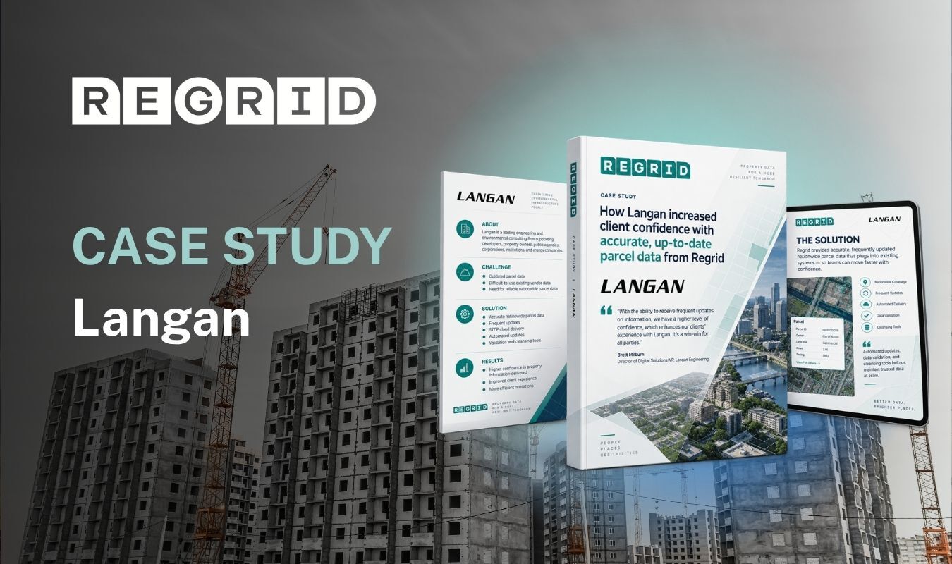
See how Langan uses frequently updated, standardized parcel data to improve the reliability of property information delivered to clients and streamline their internal workflows.
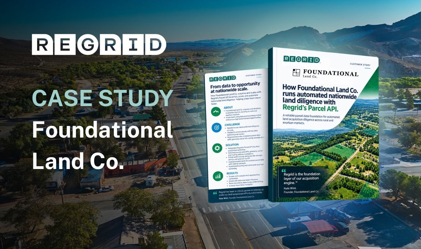
Discover how Foundational Land Co. uses Regrid as the data foundation for automated parcel screening, property enrichment, and land acquisition analysis.
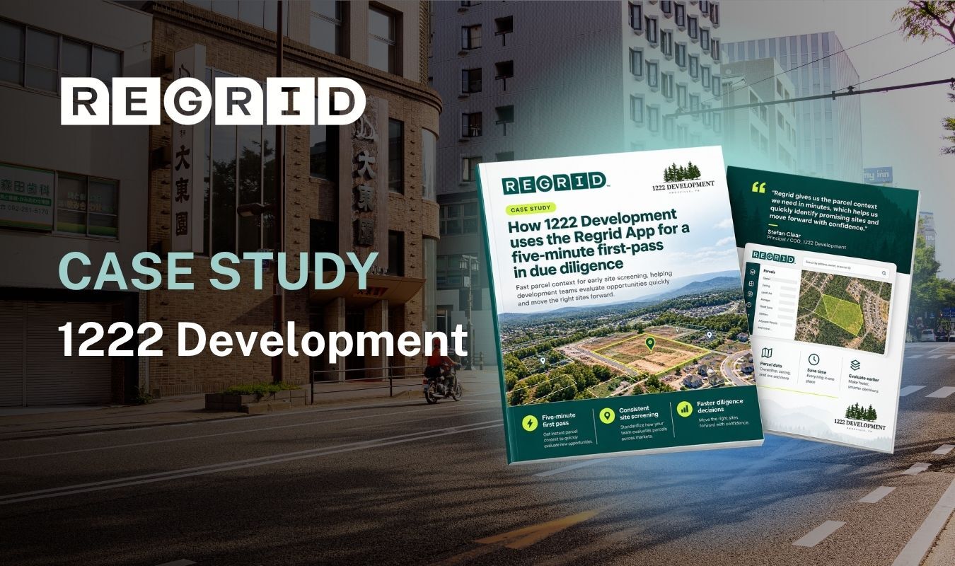
Learn how 1222 Development uses Regrid to screen properties in minutes, identify potential site constraints, and determine which opportunities warrant investigation.


















(888) 4RE-GRID
Subscribe for email updates