regrid_tm_forest
  • Enterprise

    Regrid premium parcel data menu icon Premium Parcels

    • US Parcel Data U.S. Parcels
    • Canada Parcel Data Canadian Parcels
    • global-icon Global Parcels

    Spatial add-ons menu icon Spatial Add-Ons

    • Matched building footprints menu icon Matched Building Footprints
    • Matched secondary addresses menu icon Matched Secondary Addresses
    • Standardized zoning menu icon Standardized Zoning
    • Enhanced property ownership menu icon Daily Ownership Updates

    road icon Roadway ROW

    • Roadway polygons icon U.S. Roadway Polygons

    Data access icon Data Access

    • data-store-2 Coverage Map
    • blog_resources_icon-1 Parcel Schema
    • Bulk files icon Bulk Files
    • Feature Service Feature Service
    • api-icon_2025 Parcel API & Tiles
    • API Sandbox icon Interactive API Sandbox
  • Data Store
  • Regrid App
  • Esri Users
  • Resources

    Support menu icon Support

    • Support site menu icon Support Site
    • Tutorial videos menu icon Tutorial Videos

    Content menu icon Content

    • Blog menu icon Blog
    • Customer stories menu icon Customer Stories
    • Reports menu icon Reports

    Programs menu icon Programs

    • academia_menu-icon Nonprofit & Academia
    • Regrid giving menu icon Regrid Giving

    shop icon Shop

    • merch_icon_2025 Regrid Merch
  • Contact Us
Contact Us
  • Enterprise

    Premium Parcels

    • U.S. Parcels
    • Canadian Parcels
    • Global Parcels

    Roadway ROW

    • U.S. Roadway Polygons

    Spatial Add-Ons

    • Matched Building Footprints
    • Matched Secondary Addresses
    • Standardized Zoning
    • Daily Ownership Updates

    Data Access

    • Coverage Map
    • Parcel Schema
    • Bulk Files
    • Feature Service
    • Parcel API & Tiles
    • Interactive API Sandbox
  • Data Store
  • Regrid App
  • Esri Users
  • Resources

    Support

    • Support Site
    • Tutorial Videos

    Programs

    • Nonprofit & Academia
    • Regrid Giving

    Content

    • Blog
    • Customer Stories
    • Reports

    Shop

    • Regrid Merch
  • Contact Us

The Regrid Blog

Discover the Latest in Land Parcels & Spatial Data with the Regrid Team!

  • Announcements
  • Parcel Data Updates
  • Democratizing Data
  • Regrid Updates
  • Product How-To
  • Use Cases
  • All About Parcel Data
  • Customer & Guest Blogs

Latest Blog Post

Regrid 2025 End Of Year Report

As we wrap up 2025, we want to thank you for being part of our journey. Your support and engagement mean the world to us, and we’re excited to...

Read More
Team Regrid on December 15, 2025

Categories

  • Announcements
  • Parcel Data Updates
  • Democratizing Data
  • Regrid Updates
  • Product How-To
  • Use Cases
  • All About Parcel Data
  • Customer & Guest Blogs
  • Working at Regrid
  • Regrid 100
  • Reports
Regrid 2025 End Of Year Report

As we wrap up 2025, we want to thank you for being part of our journey. Your support and engagement mean the world to us, and we’re excited to... Read More

Team Regrid
December 15, 2025
Mapping America’s Agricultural Future

How Farms Under Threat 2040 Uses Parcel Data to Show What’s at Stake By 2040, millions of acres of America’s farmland could be lost—not to disaster,... Read More

Team Regrid
December 8, 2025
Regrid: Now With More Residential Property Data

Parcel-level housing insights just got more precise Regrid’s parcel fabric grows because you tell us what you need. Over the past year, we kept... Read More

Team Regrid
November 20, 2025
InSite by NatureServe Now Featured in Regrid’s Schema

The new early signal that changes the (conservation) conversation When teams shortlist sites, the last few candidates often look the same. Cost is... Read More

Team Regrid
November 20, 2025
How the new Regrid ArcGIS Pro Toolboxes Simplify Nationwide Parcel Analysis

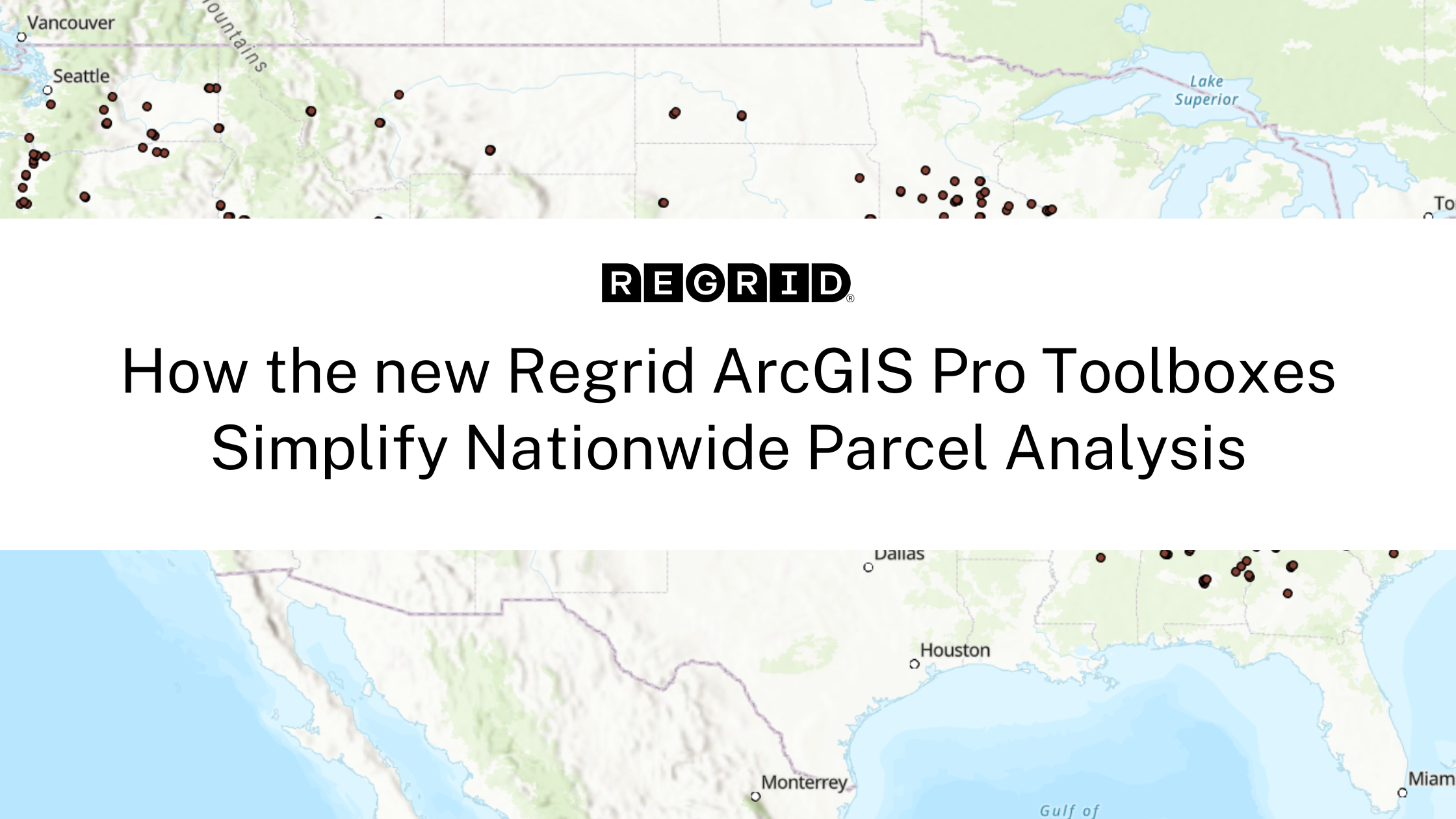
Better Tools Built for Scaling Your Location Decisions Regrid’s Feature Service delivers instant access to a powerful nationwide parcel dataset.... Read More

Team Regrid
October 29, 2025
Why Standardized Parcel Data Matters for AEC Project Delivery

How Burns & McDonnell Built a Shared Foundation Across Teams In architecture, engineering, and construction (AEC), parcel data supports every step... Read More

Team Regrid
September 15, 2025
14 Million Groundwater Wells, Now On One Map

For decades, one of the most critical elements of American infrastructure—groundwater wells—remained stubbornly unmapped at scale. Despite their... Read More

Team Regrid
August 20, 2025
Automate and Scale with Batch Processing for Regrid API

If you’ve ever struggled to enrich thousands of coordinates with accurate parcel data, you’re not alone. Many organizations rely on manual geospatial... Read More

Team Regrid
May 29, 2025
Regrid and Esri Partner to Expand the Definition of Parcel Data with Premium Geographic Enrichments

Press Release Published 2/18/25 - click here to view the full release Parcels cover the world in a quilt of property boundaries and are necessary... Read More

Team Regrid
February 18, 2025
Expanding the definition of Premium Parcel Data with new Geographic Enrichments

Parcels are the foundation of every location decision, and Regrid is proud to be your choice for parcel data. Read More

Team Regrid
January 28, 2025
  • Pre
  • 1
  • 2
  • 3
  • 4
  • 5
  • Next

Subscribe

Subscribe to our newsletter & stay updated

logo

(888) 4RE-GRID

  • Contact Us
  • Customer Support
  • Privacy Policy
  • Terms of Use

Subscribe for email updates

Company

  • About Regrid
  • Careers
  • Press
  • Shop Regrid Merch

Resources

  • Coverage Map
  • Support Center
  • Reports
  • Regrid Status Page

Enterprise Solutions

  • U.S. Parcels
  • Canada Parcels
  • Parcel & Tiles API
  • Roadway Right-of-Way

Self-Serve Solutions

  • Regrid Property App
  • Shop the Data Store
  • API Monthly Plans