


.svg)


Latest Blog Post
Five years running: Regrid returns to the Geoawesome 100
on July 28, 2026
 Premium parcels
.png) AI and ML tools
AI and ML tools
 Delivery methods

.png)
A summary of updates in January 2023 and a preview of the counties in our upcoming pipeline are below. Read More
.png)
2023 is off to a solid start! The Regrid Team is busy enhancing our services to empower your business. Here’s a quick look at the progress we’ve... Read More

BERLIN, January 30th, 2023 - Geoawesomeness announced the 5th Global Top 100 Geo, its annual list of the best geospatial companies in the world as... Read More
%20(1).png)
Regrid co-founder and CEO Jerry Paffendorf here.The new and improved Regrid Property App is now rolling out for Apple and Android, and we couldn’t be... Read More

.png)
A summary of updates in December of 2022 and a preview of the counties in our upcoming pipeline are below. Read More
.png)
Detroit, MI - Purpose Jobs, the Midwest’s largest startup and tech community, announced Regrid, the leading provider of land parcels & location... Read More

Next week we’re releasing a major update to The Regrid Property App for Apple and Android . Along with a slick new design for instant... Read More
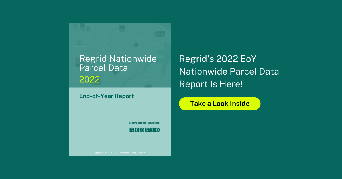
We can't believe it's that time of year again - December means that the 2022 edition of Regrid's End-of-Year Parcel Data Report has arrived. Read More
.png)
The Regrid team is working on a major update to our mobile app that will come out in January. Read More
A detail of updates in November of 2022 and the upcoming pipeline is below. Read More
