.svg)


Latest Blog Post
Five years running: Regrid returns to the Geoawesome 100
on July 28, 2026
 Premium parcels
.png) AI and ML tools
AI and ML tools
 Delivery methods


This post is a note of appreciation to Agnes Studio out of Cleveland, Ohio who played a driving design role in our rebrand from Landgrid to Regrid... Read More


This blog has been reposted from Purpose Jobs. Read More

Last week, our VP of Software Nick Downer sat down with UrbanThree's Ori Babar, PhD to discuss unequal property tax assessment. Research indicates... Read More
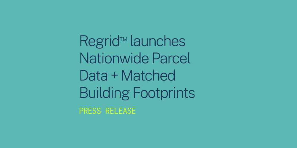
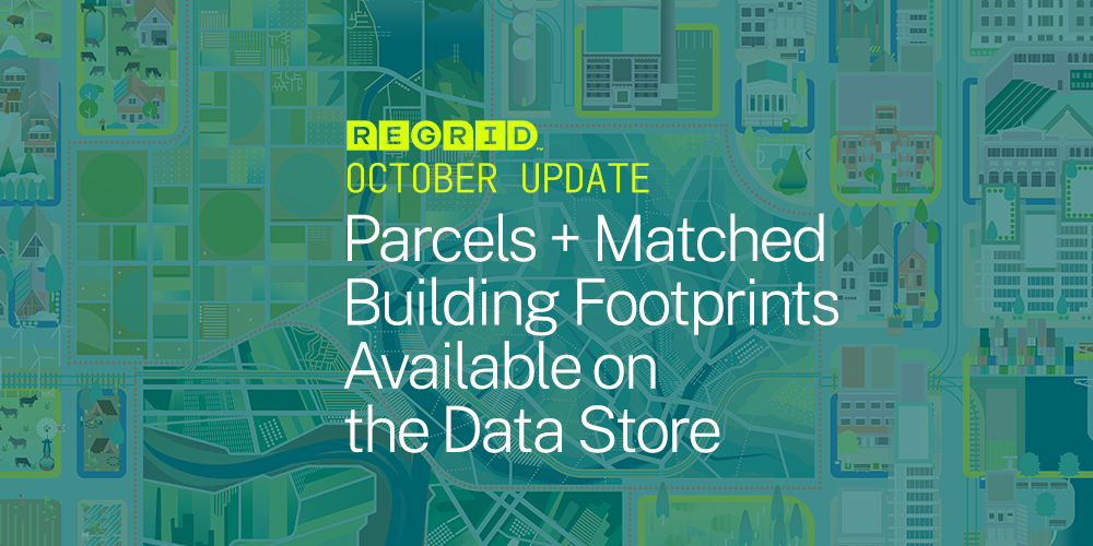
Regrid™ launches Nationwide Land Parcel Data + Matched Building Footprints Read More
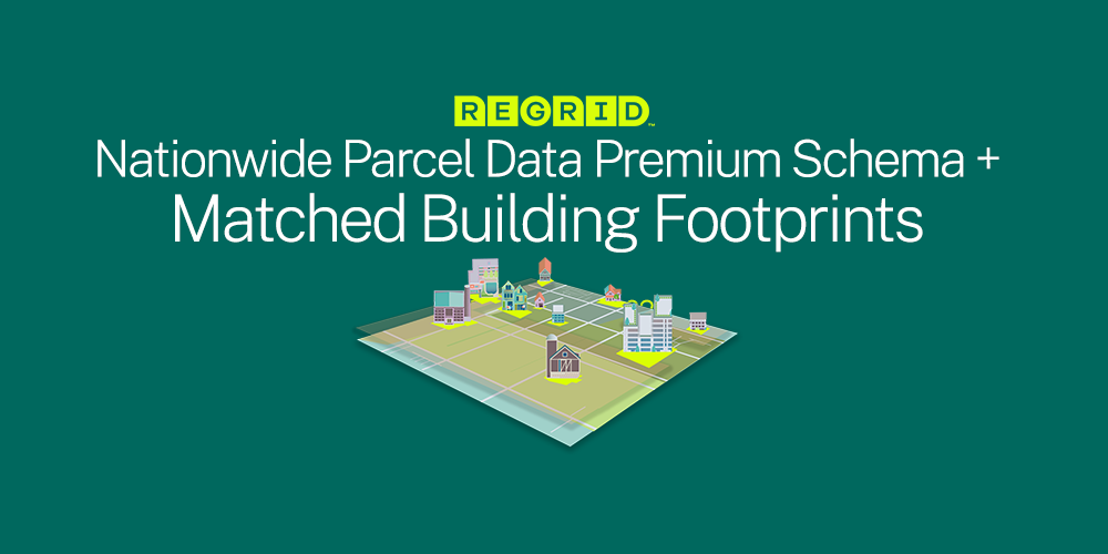
BIG ANNOUNCEMENT TODAY! (*Modified March 2022) It’s here, the product you’ve all been anticipating from us for a while - Regrid Nationwide Parcel... Read More
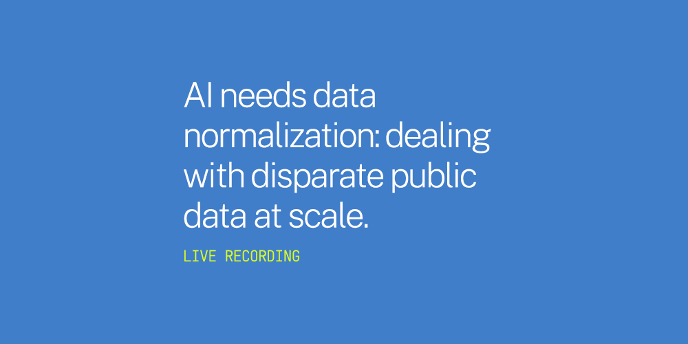
This past week on September 23rd, 2021 Regrid sponsored and co-hosted a virtual event 'The challenges of working with public data at scale' with... Read More

Please read the original article by Muthukumar Kumar from Geoawesomeness here. Read More

Crop data layer, parcel centroids, and more! This is the Regrid August 2021 Newsletter We’ve officially been Regrid for a little less than a month... Read More