.svg)


Latest Blog Post
Five years running: Regrid returns to the Geoawesome 100
on July 28, 2026
 Premium parcels
.png) AI and ML tools
AI and ML tools
 Delivery methods

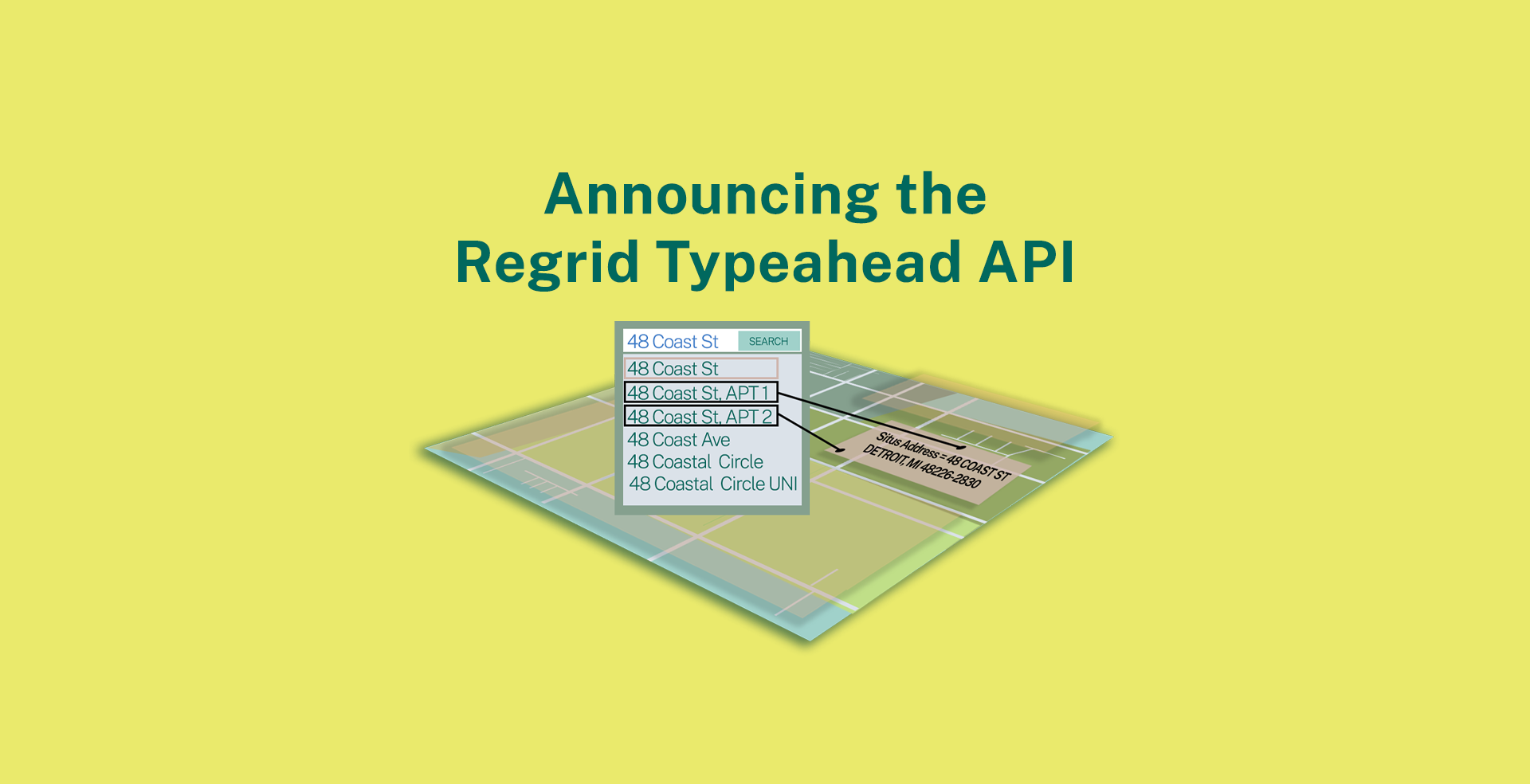
We are back with some interesting product and event updates, in case you were wondering about what’s been brewing in the Regrid world. Read More
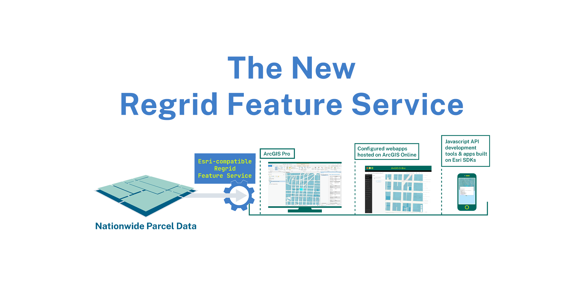
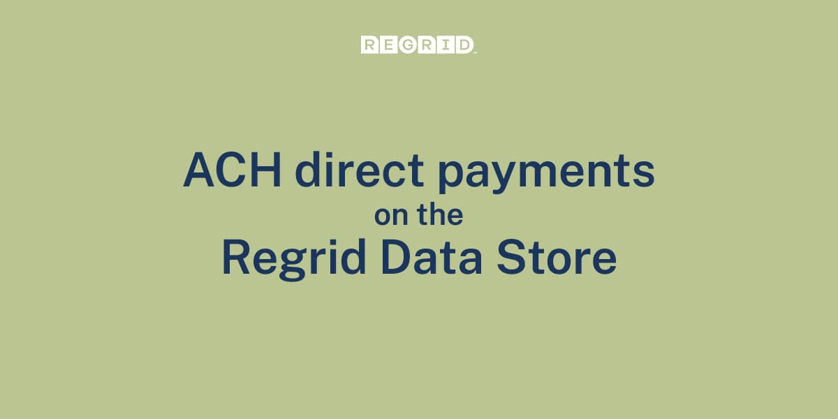
We are back with a big announcement today. Introducing a new delivery method (in addition to bulk files and API) that delivers our nationwide parcel... Read More
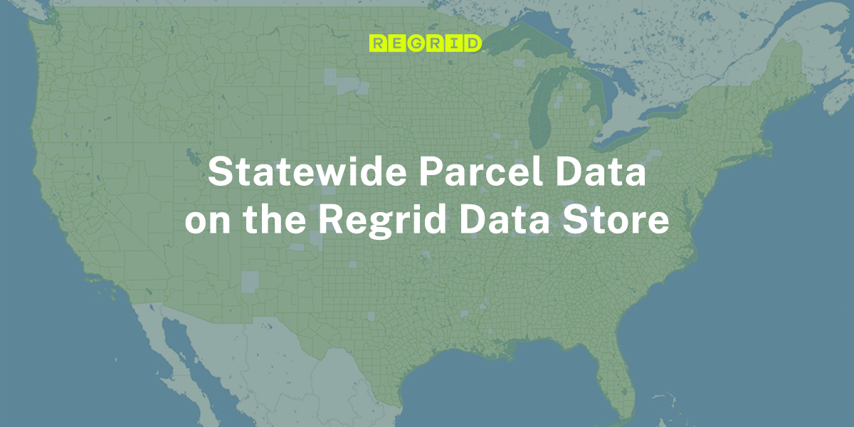
We're back with another product announcement! Launching today - Statewide Parcel Data is now available for instant purchase and downloads on the ... Read More
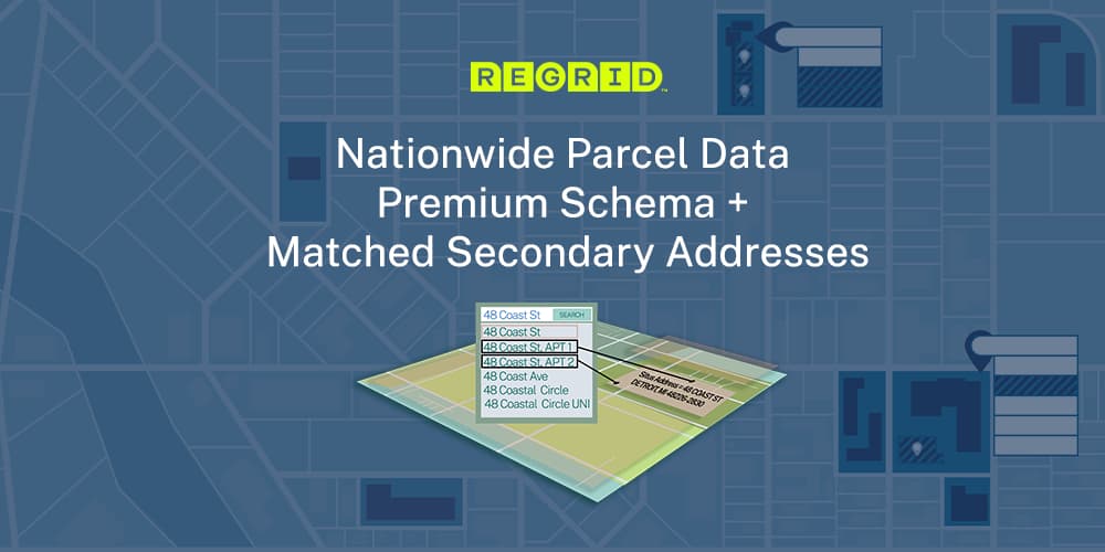
Statewide Parcel Data is now available for instant purchase and downloads on the Regrid Data Store, across all 50 states and territories including... Read More
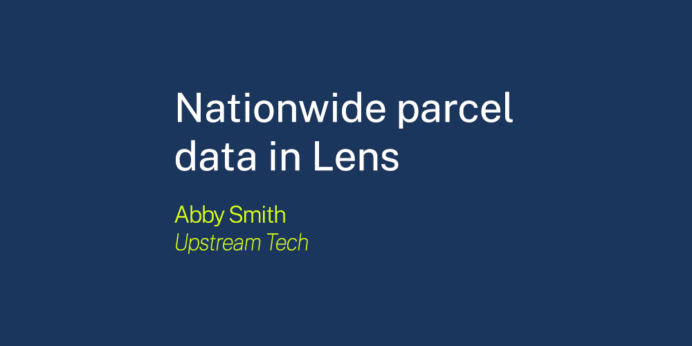
Lens users can now view parcel boundaries and details across the US We’re excited to partner withRegridto provide land parcel data as a... Read More
2022 has been off to a great start for the Regrid family. Last month, we launched our Parcels + Matched Secondary Addresses product. If you haven’t,... Read More

This week Geoawesomeness announced the 2022 edition of the Global Top 100 Geospatial Companies - and we are excited to announce that Regrid made the... Read More
And just like that, we are in December, and we will soon be entering the new year! Read More